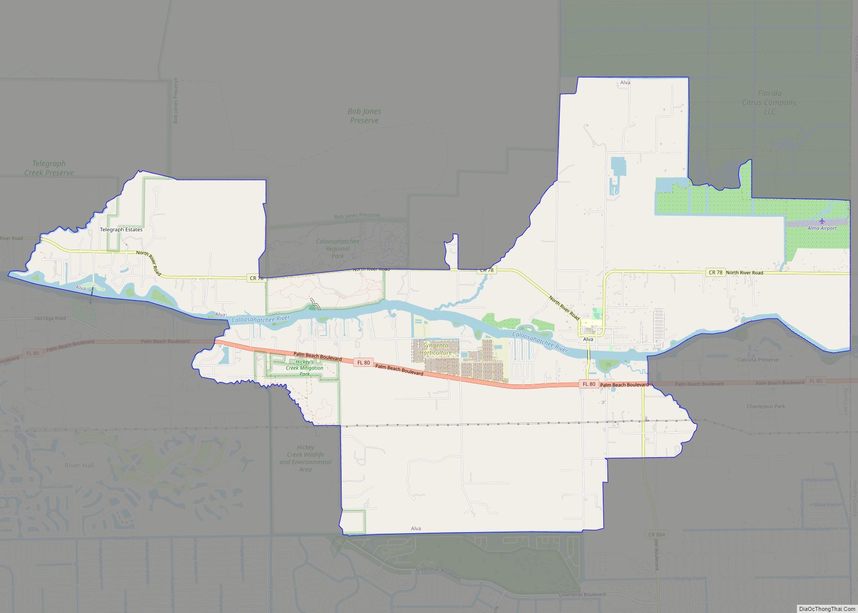
Iona is an unincorporated community and census-designated place (CDP) in Lee County, Florida, United States. The population was 16,908 at the 2020 census, up from 15,404 at the 2010 census. It is part of the Cape Coral-Fort Myers, Florida Metropolitan Statistical Area.
A strong EF2 tornado struck the town on January 16, 2022, causing major damage and injuring three people.
| Name: | Iona CDP |
|---|---|
| LSAD Code: | 57 |
| LSAD Description: | CDP (suffix) |
| State: | Florida |
| County: | Lee County |
| Elevation: | 7 ft (2 m) |
| Total Area: | 10.23 sq mi (26.50 km²) |
| Land Area: | 6.63 sq mi (17.16 km²) |
| Water Area: | 3.60 sq mi (9.34 km²) |
| Total Population: | 16,908 |
| Population Density: | 2,551.77/sq mi (985.22/km²) |
| FIPS code: | 1234012 |
| GNISfeature ID: | 0284585 |
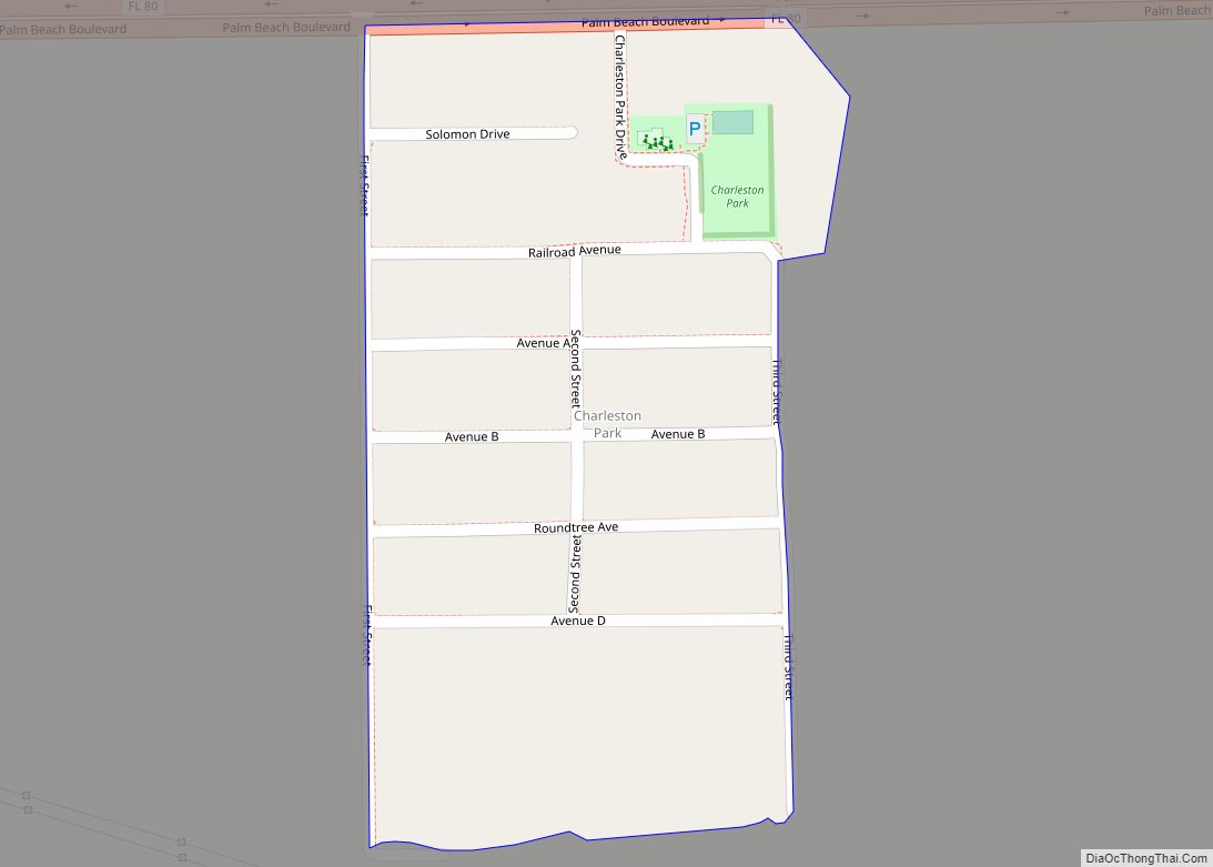
Online Interactive Map
Click on ![]() to view map in "full screen" mode.
to view map in "full screen" mode.
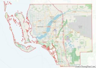
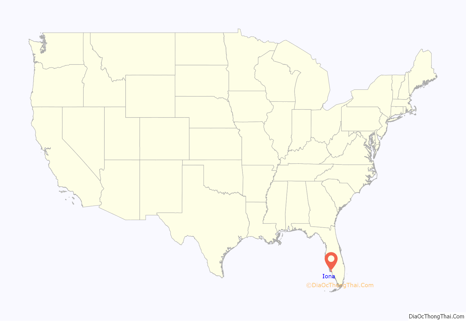
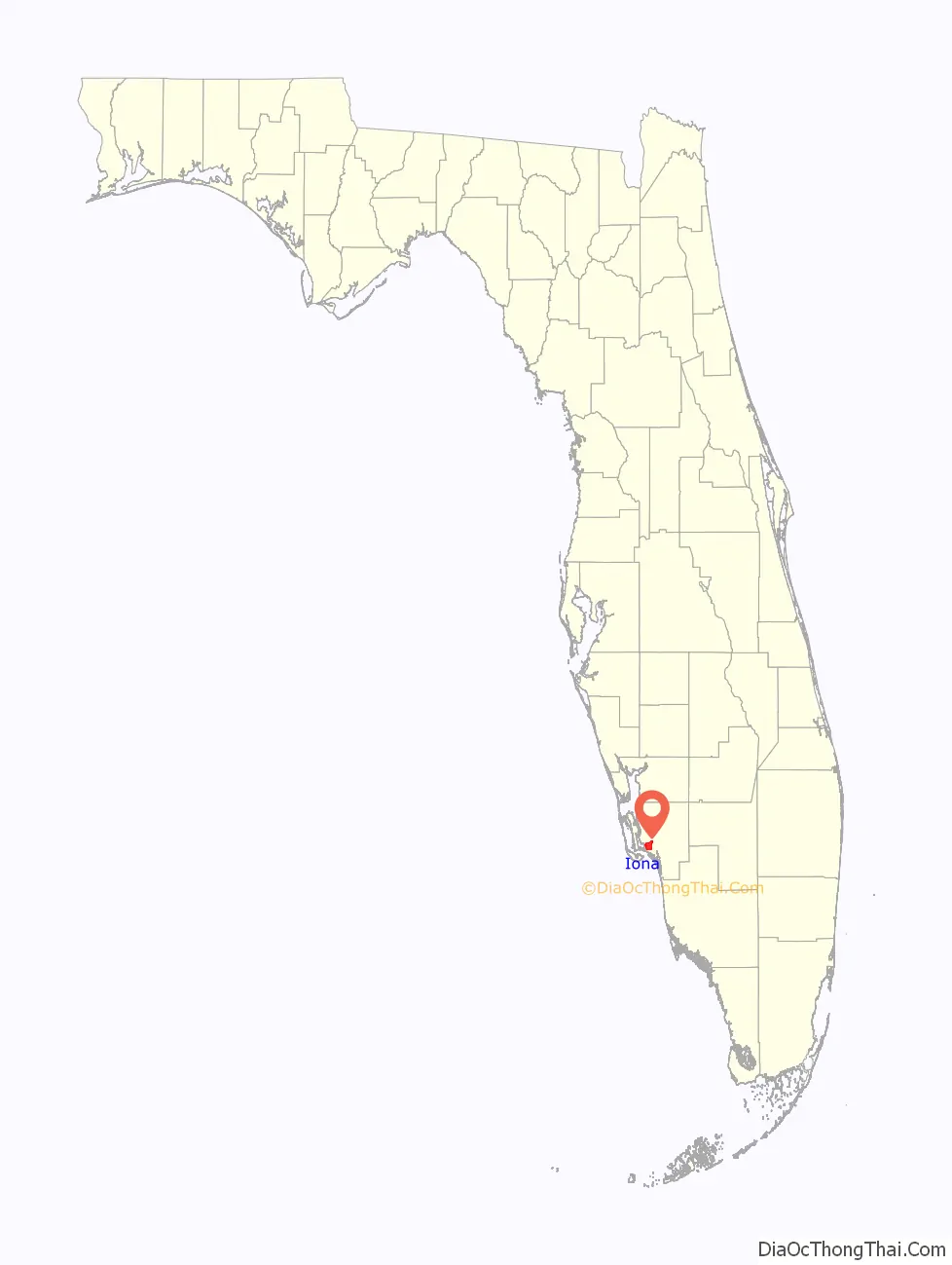
Iona location map. Where is Iona CDP?
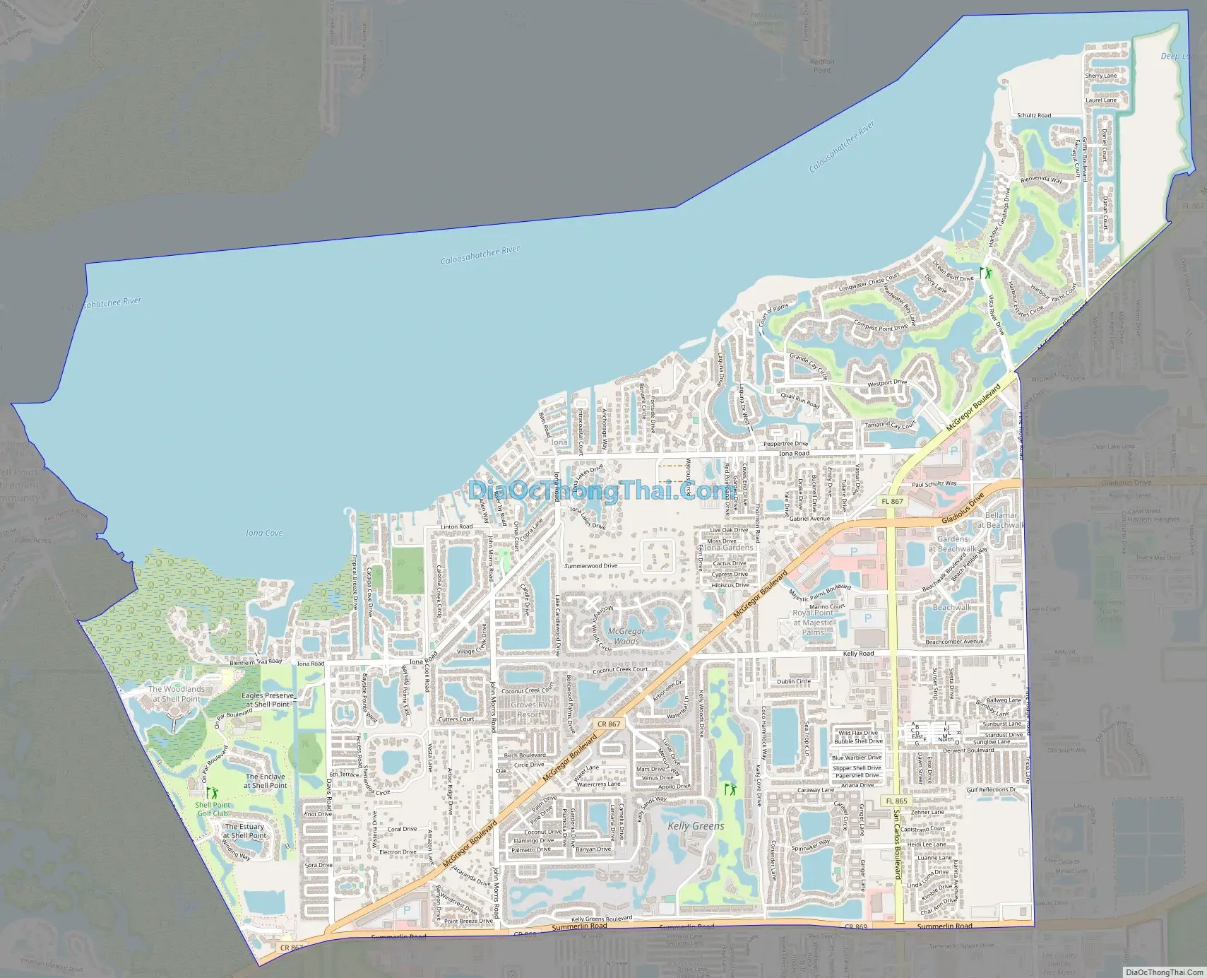
Iona Road Map
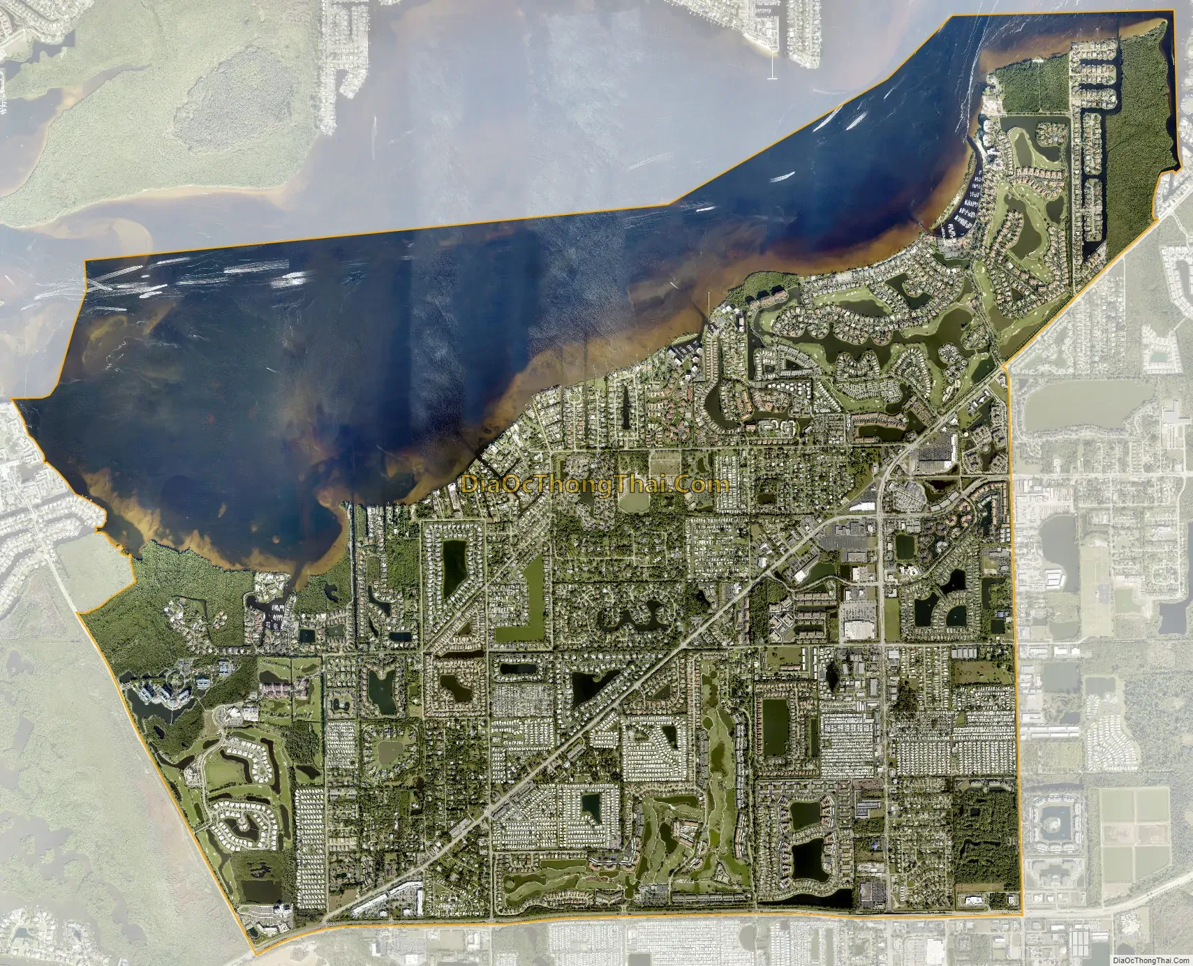
Iona city Satellite Map
Geography
Iona is located in southwestern Lee County at 26°31′N 81°58′W / 26.517°N 81.967°W / 26.517; -81.967 (26.510,-81.959). It is bordered to the west by Punta Rassa, to the east by Harlem Heights, and to the northeast by McGregor. Its northern boundary is the tidal Caloosahatchee River, across which is the city of Cape Coral. The southern edge of the community is Summerlin Road (County Road 869). McGregor Boulevard crosses the community from northeast to southwest. Iona is 4 miles (6 km) northeast of the causeway to Sanibel Island and 11 miles (18 km) southwest of the center of Fort Myers.
According to the United States Census Bureau, the Iona CDP has a total area of 10.2 square miles (26.5 km), of which 6.6 square miles (17.1 km) are land and 3.6 square miles (9.4 km), or 35.32%, are water, primarily in the Caloosahatchee River estuary.
See also
Map of Florida State and its subdivision:- Alachua
- Baker
- Bay
- Bradford
- Brevard
- Broward
- Calhoun
- Charlotte
- Citrus
- Clay
- Collier
- Columbia
- Desoto
- Dixie
- Duval
- Escambia
- Flagler
- Franklin
- Gadsden
- Gilchrist
- Glades
- Gulf
- Hamilton
- Hardee
- Hendry
- Hernando
- Highlands
- Hillsborough
- Holmes
- Indian River
- Jackson
- Jefferson
- Lafayette
- Lake
- Lee
- Leon
- Levy
- Liberty
- Madison
- Manatee
- Marion
- Martin
- Miami-Dade
- Monroe
- Nassau
- Okaloosa
- Okeechobee
- Orange
- Osceola
- Palm Beach
- Pasco
- Pinellas
- Polk
- Putnam
- Saint Johns
- Saint Lucie
- Santa Rosa
- Sarasota
- Seminole
- Sumter
- Suwannee
- Taylor
- Union
- Volusia
- Wakulla
- Walton
- Washington
- Alabama
- Alaska
- Arizona
- Arkansas
- California
- Colorado
- Connecticut
- Delaware
- District of Columbia
- Florida
- Georgia
- Hawaii
- Idaho
- Illinois
- Indiana
- Iowa
- Kansas
- Kentucky
- Louisiana
- Maine
- Maryland
- Massachusetts
- Michigan
- Minnesota
- Mississippi
- Missouri
- Montana
- Nebraska
- Nevada
- New Hampshire
- New Jersey
- New Mexico
- New York
- North Carolina
- North Dakota
- Ohio
- Oklahoma
- Oregon
- Pennsylvania
- Rhode Island
- South Carolina
- South Dakota
- Tennessee
- Texas
- Utah
- Vermont
- Virginia
- Washington
- West Virginia
- Wisconsin
- Wyoming