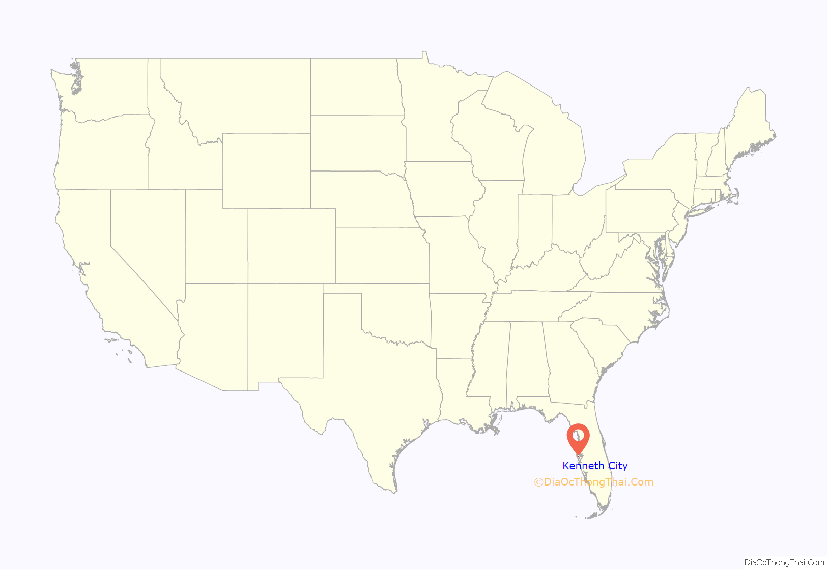
Kenneth City is a town in southern Pinellas County, Florida, between St. Petersburg and Pinellas Park, United States. The population was 4,980 at the 2010 US Census.
| Name: | Kenneth City town |
|---|---|
| LSAD Code: | 43 |
| LSAD Description: | town (suffix) |
| State: | Florida |
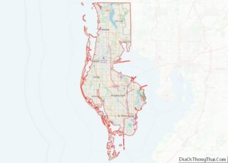
| County: | Pinellas County |
| Incorporated: | April 30, 1957 (1957-04-30) |
| Elevation: | 20 ft (6 m) |
| Total Area: | 0.75 sq mi (1.93 km²) |
| Land Area: | 0.71 sq mi (1.85 km²) |
| Water Area: | 0.03 sq mi (0.09 km²) |
| Total Population: | 5,047 |
| Population Density: | 7,068.63/sq mi (2,729.19/km²) |
| ZIP code: | 33709 |
| Area code: | 727 |
| FIPS code: | 1236175 |
| GNISfeature ID: | 0294454 |
| Website: | www.kennethcityfl.org |
Online Interactive Map
Click on ![]() to view map in "full screen" mode.
to view map in "full screen" mode.
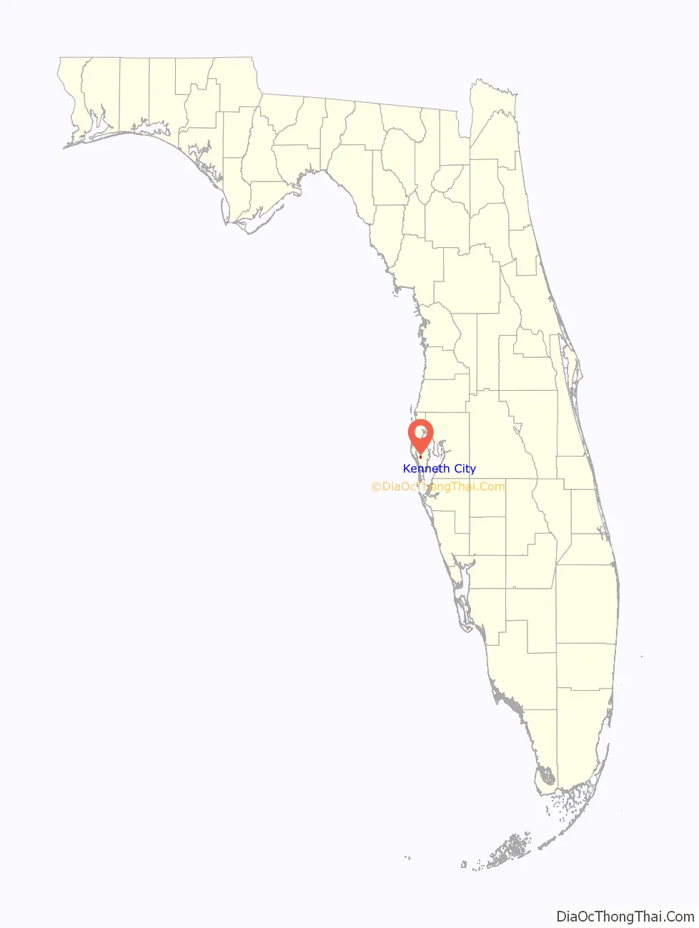
Kenneth City location map. Where is Kenneth City town?
History
Kenneth City was founded in 1957 by Sidney Colen, a local developer, who named the city after his son Kenneth Wong. Following the passage of a 2013 charter modification from a strong mayor to a council-manager form of government, the town hired its first manager since becoming incorporated in 1957. Following the March 2014 recruitment of a town manager, the town underwent reorganization intending to bolster its identity and gain recognition among the 23 other municipalities in Pinellas County.
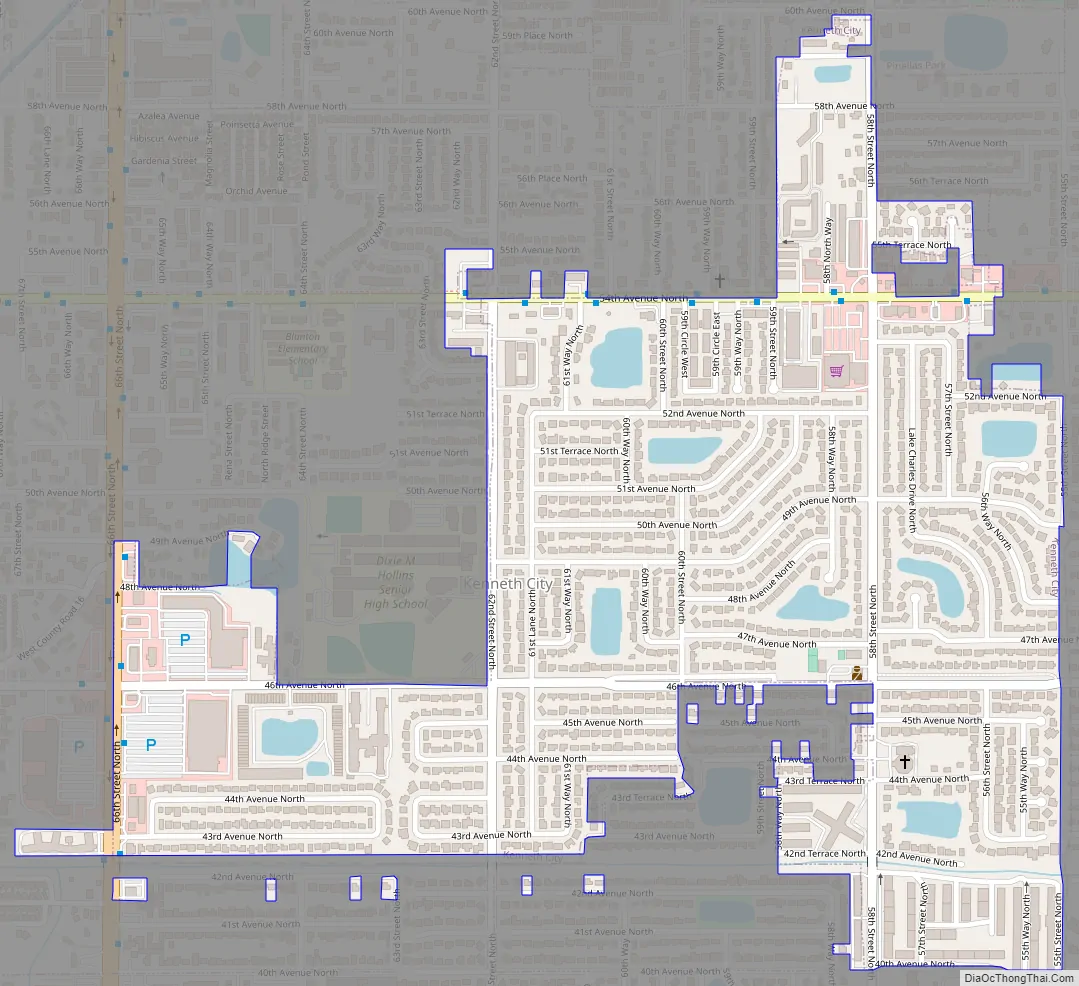
Kenneth City Road Map
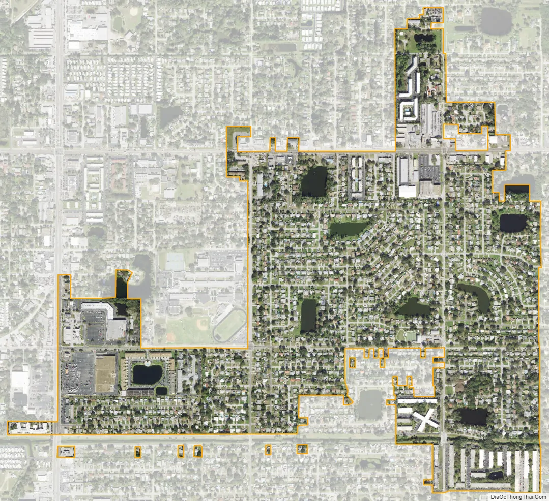
Kenneth City city Satellite Map
Geography
According to the United States Census Bureau, the town has a total area of 0.7 square miles (1.8 km), all land.
See also
Map of Florida State and its subdivision:- Alachua
- Baker
- Bay
- Bradford
- Brevard
- Broward
- Calhoun
- Charlotte
- Citrus
- Clay
- Collier
- Columbia
- Desoto
- Dixie
- Duval
- Escambia
- Flagler
- Franklin
- Gadsden
- Gilchrist
- Glades
- Gulf
- Hamilton
- Hardee
- Hendry
- Hernando
- Highlands
- Hillsborough
- Holmes
- Indian River
- Jackson
- Jefferson
- Lafayette
- Lake
- Lee
- Leon
- Levy
- Liberty
- Madison
- Manatee
- Marion
- Martin
- Miami-Dade
- Monroe
- Nassau
- Okaloosa
- Okeechobee
- Orange
- Osceola
- Palm Beach
- Pasco
- Pinellas
- Polk
- Putnam
- Saint Johns
- Saint Lucie
- Santa Rosa
- Sarasota
- Seminole
- Sumter
- Suwannee
- Taylor
- Union
- Volusia
- Wakulla
- Walton
- Washington
- Alabama
- Alaska
- Arizona
- Arkansas
- California
- Colorado
- Connecticut
- Delaware
- District of Columbia
- Florida
- Georgia
- Hawaii
- Idaho
- Illinois
- Indiana
- Iowa
- Kansas
- Kentucky
- Louisiana
- Maine
- Maryland
- Massachusetts
- Michigan
- Minnesota
- Mississippi
- Missouri
- Montana
- Nebraska
- Nevada
- New Hampshire
- New Jersey
- New Mexico
- New York
- North Carolina
- North Dakota
- Ohio
- Oklahoma
- Oregon
- Pennsylvania
- Rhode Island
- South Carolina
- South Dakota
- Tennessee
- Texas
- Utah
- Vermont
- Virginia
- Washington
- West Virginia
- Wisconsin
- Wyoming