Lake Mack-Forest Hills is a census-designated place (CDP) in Lake County, Florida, United States. It contains the unincorporated communities of Forest Hills and Lake Mack Park. The population was 1,010 at the 2010 census, up from 989 at the 2000 census. It is part of the Orlando–Kissimmee–Sanford Metropolitan Statistical Area.
In the early morning of February 2, 2007, a tornado touched down, destroying a large portion of the community as well as killing at least 14.
| Name: | Lake Mack-Forest Hills CDP |
|---|---|
| LSAD Code: | 57 |
| LSAD Description: | CDP (suffix) |
| State: | Florida |
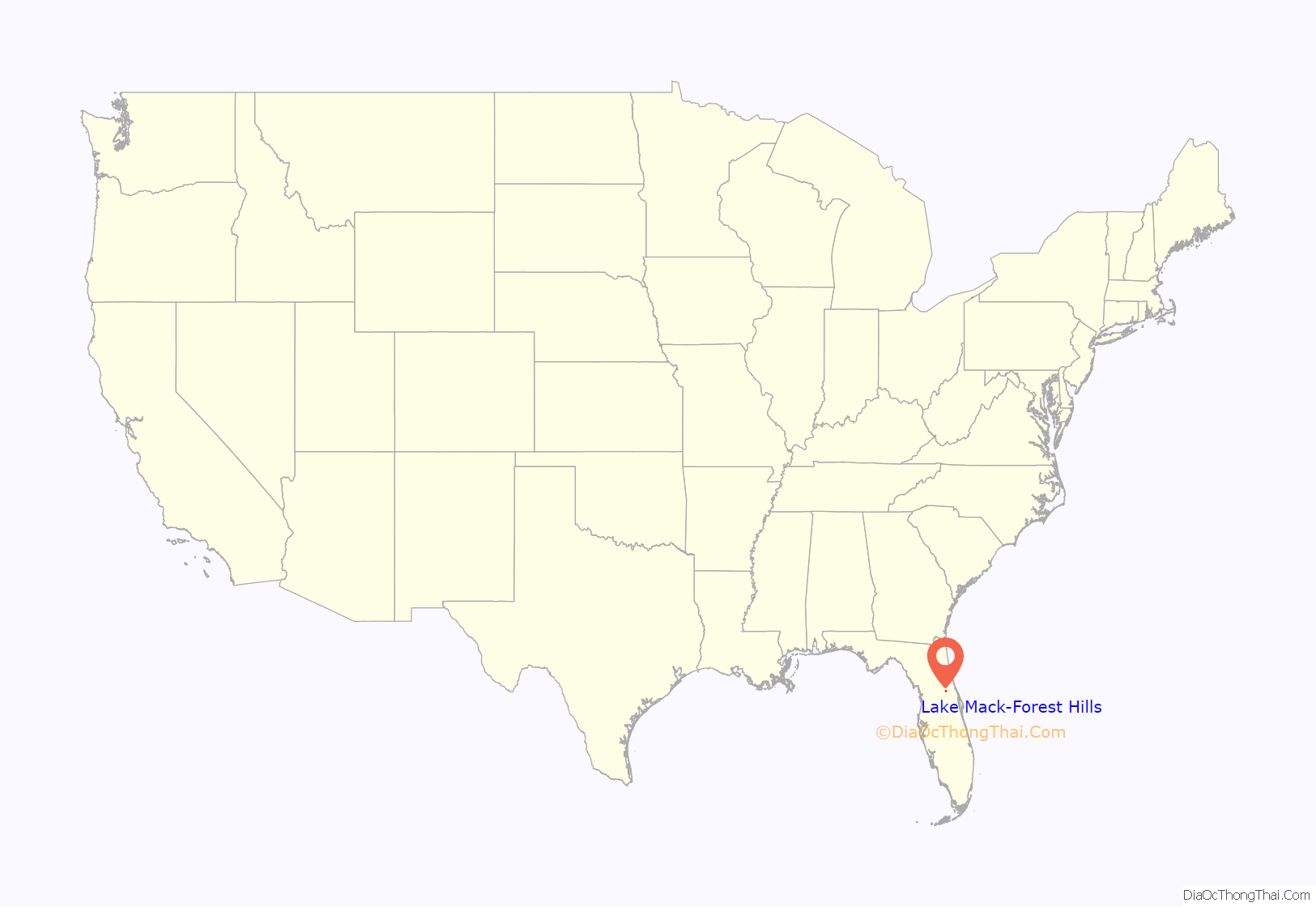
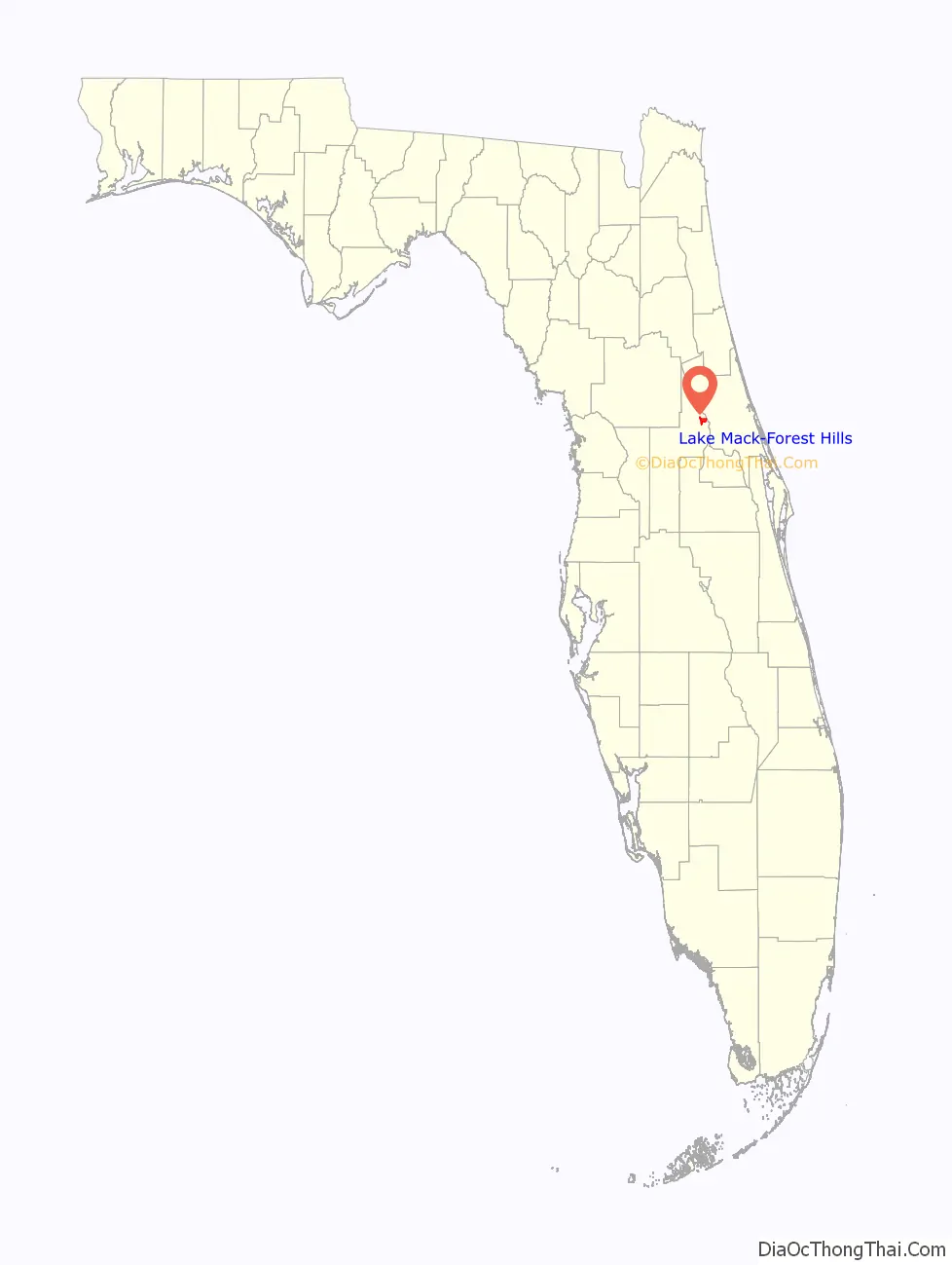
| County: | Lake County |
| Elevation: | 59 ft (18 m) |
| Total Area: | 5.17 sq mi (13.38 km²) |
| Land Area: | 4.84 sq mi (12.53 km²) |
| Water Area: | 0.33 sq mi (0.85 km²) |
| Total Population: | 992 |
| Population Density: | 205.09/sq mi (79.18/km²) |
| FIPS code: | 1238332 |
| GNISfeature ID: | 2403198 |
Online Interactive Map
Click on ![]() to view map in "full screen" mode.
to view map in "full screen" mode.
Lake Mack-Forest Hills location map. Where is Lake Mack-Forest Hills CDP?
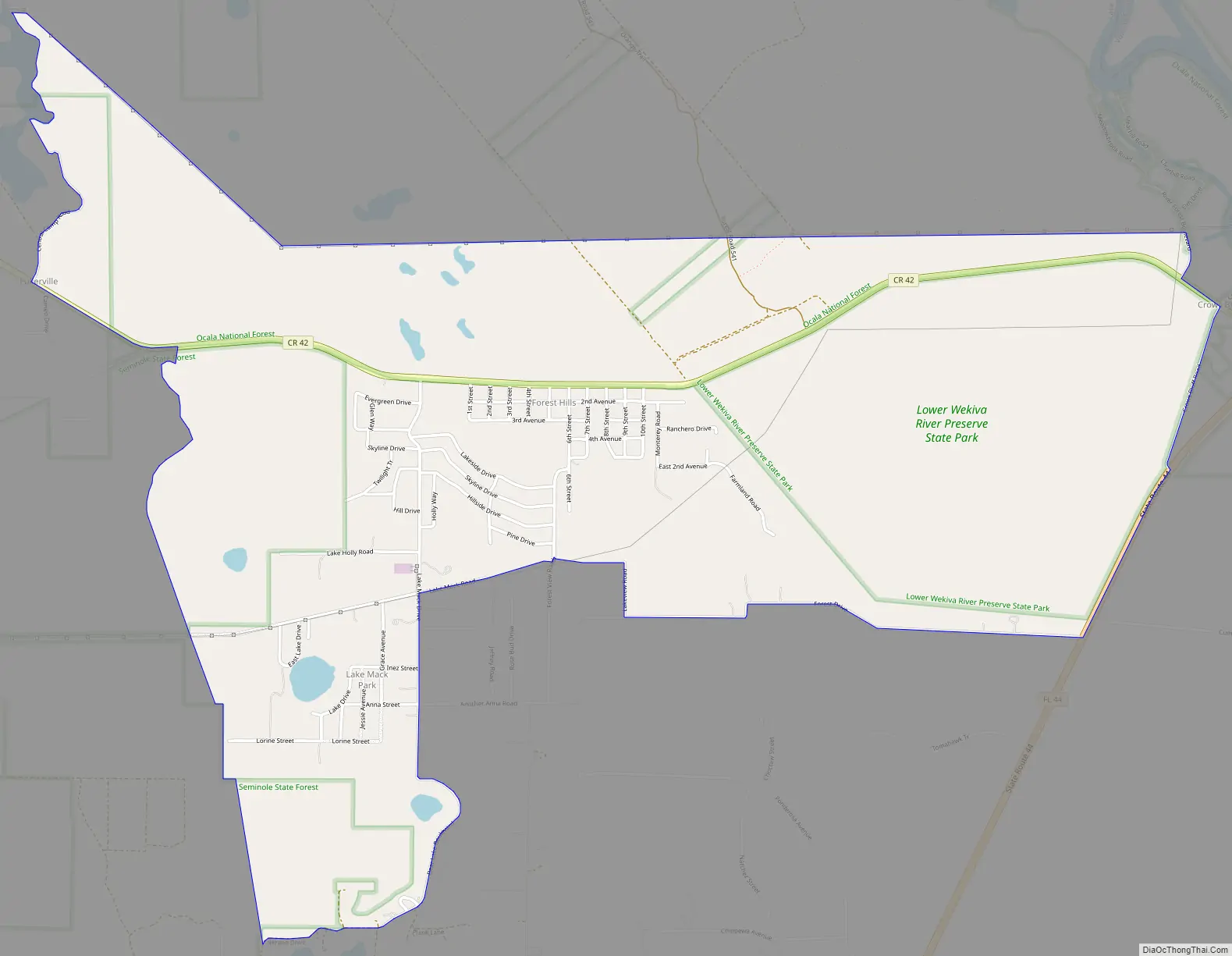
Lake Mack-Forest Hills Road Map
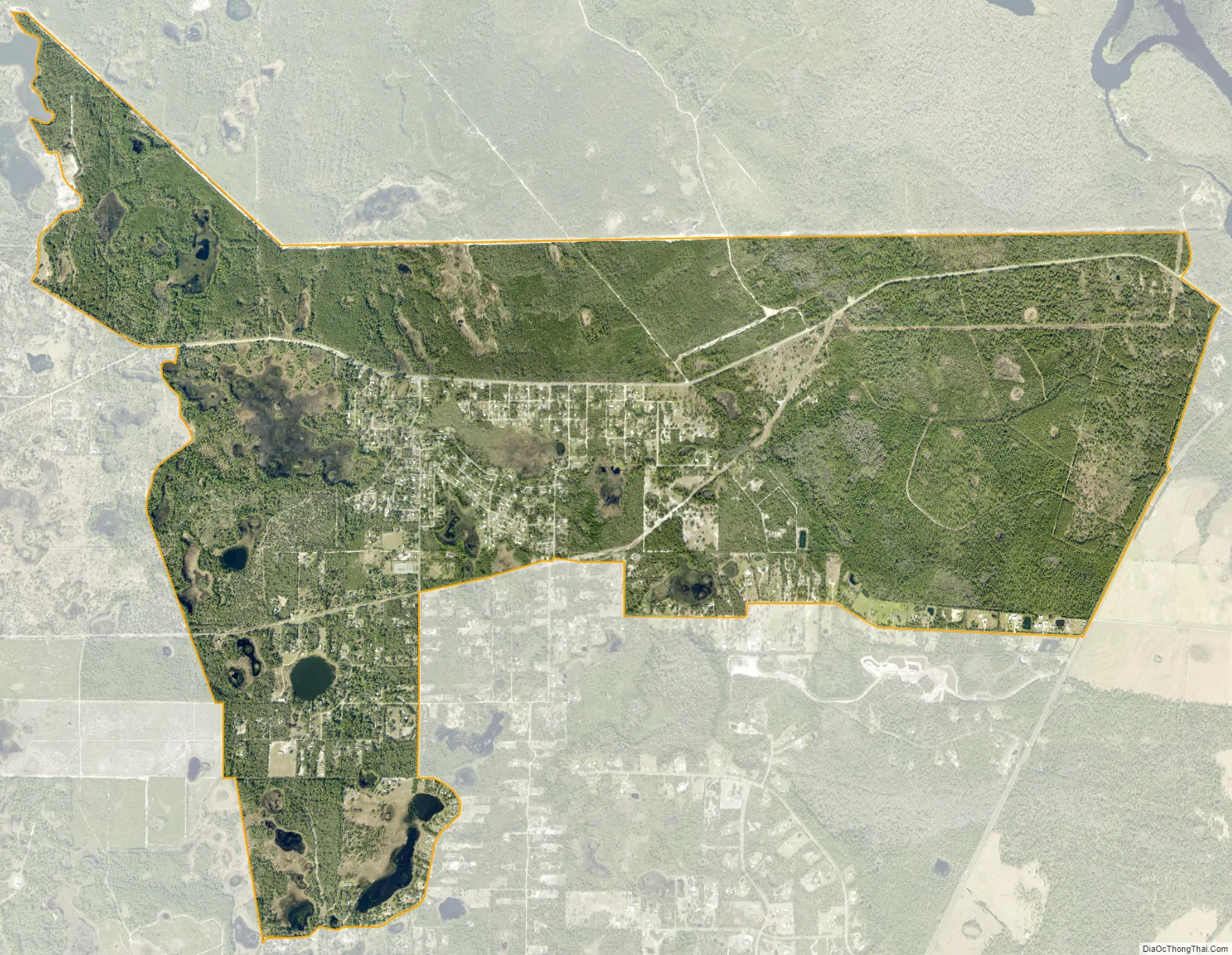
Lake Mack-Forest Hills city Satellite Map
Geography
Lake Mack-Forest Hills is located in northeastern Lake County. The unincorporated community of Forest Hills is in the center of the CDP, surrounding a small lake of the same name. Lake Mack Park is a smaller unincorporated community in the southwest part of the CDP, surrounding Lake Mack. The CDP is 8 miles (13 km) west of the city of DeLand.
According to the United States Census Bureau, the CDP has a total area of 5.2 square miles (13.4 km), of which 4.8 square miles (12.5 km) are land and 0.35 square miles (0.9 km), or 6.36%, are water.
See also
Map of Florida State and its subdivision:- Alachua
- Baker
- Bay
- Bradford
- Brevard
- Broward
- Calhoun
- Charlotte
- Citrus
- Clay
- Collier
- Columbia
- Desoto
- Dixie
- Duval
- Escambia
- Flagler
- Franklin
- Gadsden
- Gilchrist
- Glades
- Gulf
- Hamilton
- Hardee
- Hendry
- Hernando
- Highlands
- Hillsborough
- Holmes
- Indian River
- Jackson
- Jefferson
- Lafayette
- Lake
- Lee
- Leon
- Levy
- Liberty
- Madison
- Manatee
- Marion
- Martin
- Miami-Dade
- Monroe
- Nassau
- Okaloosa
- Okeechobee
- Orange
- Osceola
- Palm Beach
- Pasco
- Pinellas
- Polk
- Putnam
- Saint Johns
- Saint Lucie
- Santa Rosa
- Sarasota
- Seminole
- Sumter
- Suwannee
- Taylor
- Union
- Volusia
- Wakulla
- Walton
- Washington
- Alabama
- Alaska
- Arizona
- Arkansas
- California
- Colorado
- Connecticut
- Delaware
- District of Columbia
- Florida
- Georgia
- Hawaii
- Idaho
- Illinois
- Indiana
- Iowa
- Kansas
- Kentucky
- Louisiana
- Maine
- Maryland
- Massachusetts
- Michigan
- Minnesota
- Mississippi
- Missouri
- Montana
- Nebraska
- Nevada
- New Hampshire
- New Jersey
- New Mexico
- New York
- North Carolina
- North Dakota
- Ohio
- Oklahoma
- Oregon
- Pennsylvania
- Rhode Island
- South Carolina
- South Dakota
- Tennessee
- Texas
- Utah
- Vermont
- Virginia
- Washington
- West Virginia
- Wisconsin
- Wyoming


