Lake Magdalene is a census-designated place (CDP) in Hillsborough County, Florida, United States. The population was 28,509 at the 2010 census.
| Name: | Lake Magdalene CDP |
|---|---|
| LSAD Code: | 57 |
| LSAD Description: | CDP (suffix) |
| State: | Florida |
| County: | Hillsborough County |
| Elevation: | 46 ft (14 m) |
| Total Area: | 11.61 sq mi (30.07 km²) |
| Land Area: | 10.20 sq mi (26.42 km²) |
| Water Area: | 1.41 sq mi (3.65 km²) |
| Total Population: | 30,742 |
| Population Density: | 3,013.63/sq mi (1,163.55/km²) |
| ZIP code: | 33612, 33613 & 33618 |
| Area code: | 813 |
| FIPS code: | 1238350 |
| GNISfeature ID: | 1867163 |
Online Interactive Map
Click on ![]() to view map in "full screen" mode.
to view map in "full screen" mode.
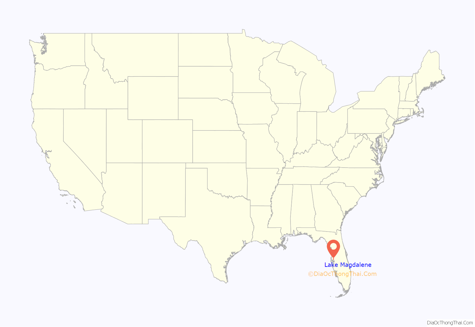
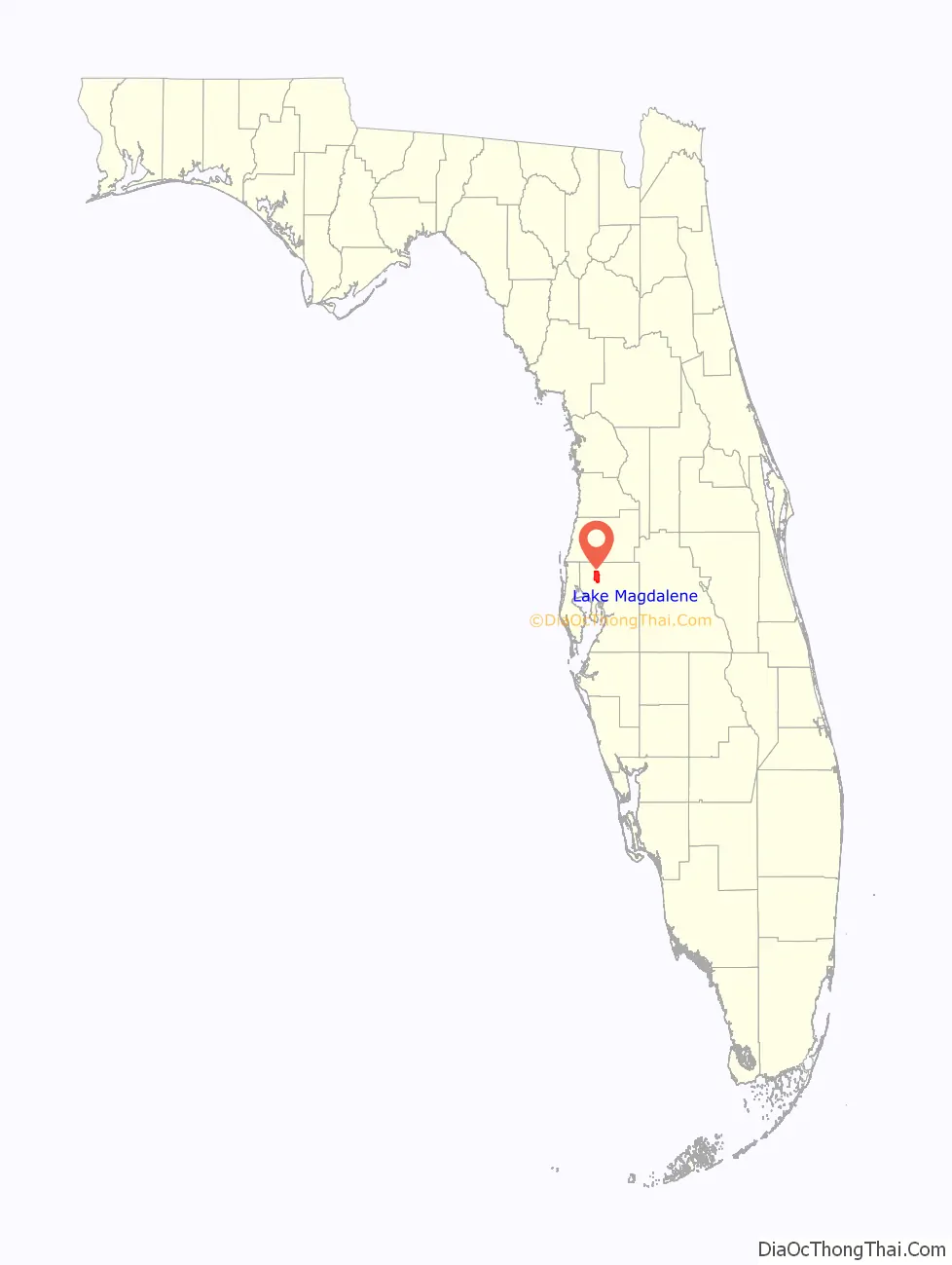
Lake Magdalene location map. Where is Lake Magdalene CDP?
History
As a rural community northwest of Tampa, this area of Hillsborough County had welcomed enough residents to receive its first post office in 1888, followed by a scattering of schools and churches—most notably the United Brethren Church (now Lake Magdalene United Methodist), started in 1895 by Reverend Isaac W. Bearss, whose family line still maintains several acres of citrus groves in the region, butted up against the busy east-west, North Tampa corridor that bears the family name. The rustic qualities of Lake Magdalene remained until the 1990s when residential construction in Tampa pushed northward. By 1990 almost 16,000 people lived in Lake Magdalene, and according to the 2000 census, its population had nearly doubled to 28,755.
Lake Magdalene is surrounded by, and takes its name from, a 206-acre (0.83 km) freshwater lake. The lake’s name may come from the moniker of a Native American woman, Magdalena, who interpreted the language for a Spanish expedition into Florida in 1549, or the name may have resulted from the 1882 marriage in the community of John Parrish and Mary Magdalene Yates, daughter of Jonah Yates, first mayor of Plant City.
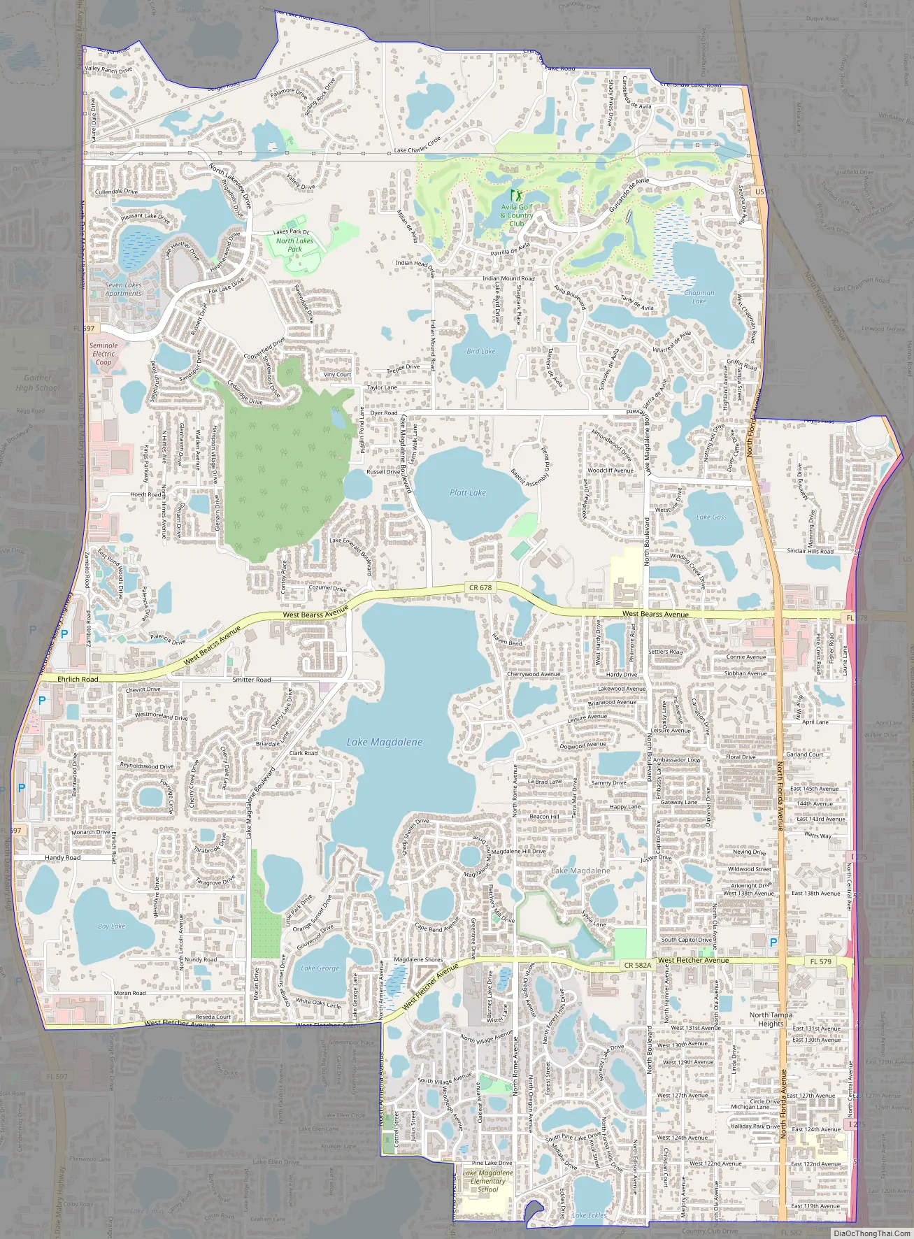
Lake Magdalene Road Map
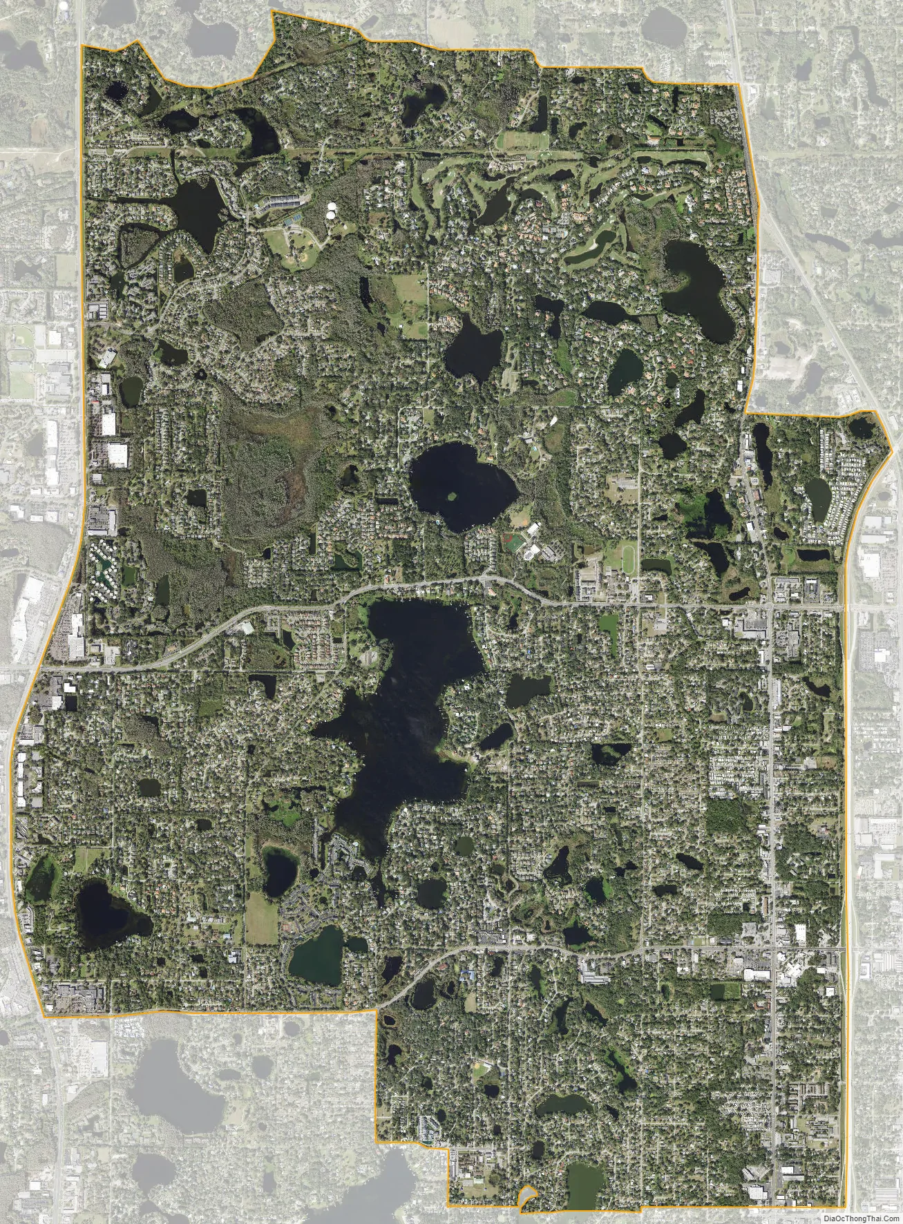
Lake Magdalene city Satellite Map
Geography
Lake Magdalene is located in northwestern Hillsborough County at 28°4′53″N 82°28′41″W / 28.08139°N 82.47806°W / 28.08139; -82.47806 (28.081294, -82.477945). It is bordered to the north by Lutz, to the east by the University neighborhood, to the south by the city of Tampa, to the southwest by Carrollwood, and to the west by Northdale. Interstate 275 forms the eastern edge of the CDP, and the Dale Mabry Highway (Florida State Road 597) forms the western edge.
According to the United States Census Bureau, the community has a total area of 11.6 square miles (30.1 km), of which 10.2 square miles (26.5 km) are land and 1.4 square miles (3.6 km), or 12.11%, are water. There are at least 11 named lakes in the CDP, the largest of which is Lake Magdalene near the center of the community.
ZIP codes that serve Lake Magdalene are 33612, 33613 and 33618.
See also
Map of Florida State and its subdivision:- Alachua
- Baker
- Bay
- Bradford
- Brevard
- Broward
- Calhoun
- Charlotte
- Citrus
- Clay
- Collier
- Columbia
- Desoto
- Dixie
- Duval
- Escambia
- Flagler
- Franklin
- Gadsden
- Gilchrist
- Glades
- Gulf
- Hamilton
- Hardee
- Hendry
- Hernando
- Highlands
- Hillsborough
- Holmes
- Indian River
- Jackson
- Jefferson
- Lafayette
- Lake
- Lee
- Leon
- Levy
- Liberty
- Madison
- Manatee
- Marion
- Martin
- Miami-Dade
- Monroe
- Nassau
- Okaloosa
- Okeechobee
- Orange
- Osceola
- Palm Beach
- Pasco
- Pinellas
- Polk
- Putnam
- Saint Johns
- Saint Lucie
- Santa Rosa
- Sarasota
- Seminole
- Sumter
- Suwannee
- Taylor
- Union
- Volusia
- Wakulla
- Walton
- Washington
- Alabama
- Alaska
- Arizona
- Arkansas
- California
- Colorado
- Connecticut
- Delaware
- District of Columbia
- Florida
- Georgia
- Hawaii
- Idaho
- Illinois
- Indiana
- Iowa
- Kansas
- Kentucky
- Louisiana
- Maine
- Maryland
- Massachusetts
- Michigan
- Minnesota
- Mississippi
- Missouri
- Montana
- Nebraska
- Nevada
- New Hampshire
- New Jersey
- New Mexico
- New York
- North Carolina
- North Dakota
- Ohio
- Oklahoma
- Oregon
- Pennsylvania
- Rhode Island
- South Carolina
- South Dakota
- Tennessee
- Texas
- Utah
- Vermont
- Virginia
- Washington
- West Virginia
- Wisconsin
- Wyoming


