Laurel Hill is a city in Okaloosa County, Florida, United States. The population was 537 at the 2010 census. It is part of the Fort Walton Beach–Crestview–Destin Metropolitan Statistical Area.
| Name: | Laurel Hill city |
|---|---|
| LSAD Code: | 25 |
| LSAD Description: | city (suffix) |
| State: | Florida |
| County: | Okaloosa County |
| Elevation: | 282 ft (86 m) |
| Total Area: | 4.27 sq mi (11.05 km²) |
| Land Area: | 4.21 sq mi (10.89 km²) |
| Water Area: | 0.06 sq mi (0.16 km²) |
| Total Population: | 584 |
| Population Density: | 138.85/sq mi (53.61/km²) |
| ZIP code: | 32567 |
| Area code: | 850 |
| FIPS code: | 1239650 |
| GNISfeature ID: | 0285397 |
Online Interactive Map
Click on ![]() to view map in "full screen" mode.
to view map in "full screen" mode.
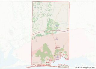
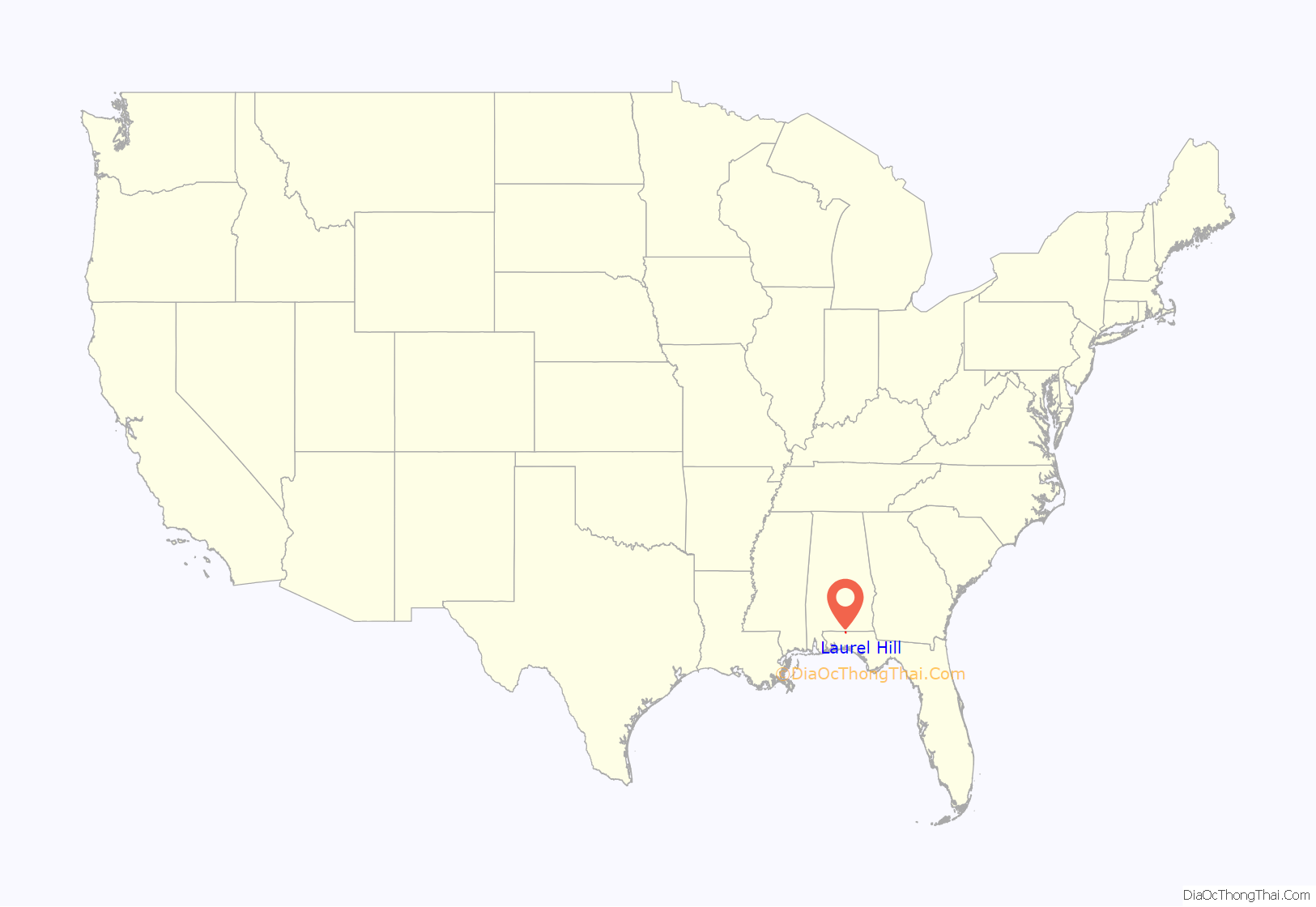
Laurel Hill location map. Where is Laurel Hill city?

History
The area which is now Laurel Hill was one of the first post American annexation English-speaking settlements in Florida. There had been settlements by English-speaking loyalists in Florida during the American Revolution. Settlers were documented establishing a community, originally known as Almirante, soon after Florida’s acquisition by the United States in 1821. In the 1880s, railroad access to north-west Florida opened up a booming lumber industry, with the Yellow River Railroad reaching the Almirante (Laurel Hill) area by 1892. In 1895 Almirante, then just a small logging and farming community, was platted and renamed Laurel Hill, the name purportedly inspired by a large laurel tree which grew in the center of the community. Growing rapidly, the community was incorporated by the Florida Legislature in 1905.
Although in 1915 Laurel Hill was the largest community in newly created Okaloosa County, the town lost out becoming the Okaloosa county seat to the more centrally located town of Crestview. Laurel Hill’s economic fortunes went into a decline after World War I, a waning intensified by the Florida land speculation collapse of the 1920s which resulted in the closing of Laurel Hill’s only bank. In order to install infrastructure improvements and to re-stimulate the community, Laurel Hill was reincorporated in 1953.
Once served by the Louisville & Nashville Railroad, which purchased the Yellow River Railroad in 1906, the line was abandoned and lifted in the 1980s.
- First held in 1992, the Laurel Hill Hobo Festival is an annual event scheduled for the first Saturday in October.
- The team name for the Laurel Hill School is the Hoboes, allegedly the only school in the US with this team name.
Churches
- South Ebenezer Baptist Church
- Ebenezer Baptist Church
- Laurel Hill Presbyterian Church
- Laurel Hill First Baptist Church
- Mt Zion Baptist Church
Schools
- Okaloosa Comprehensive Head Start
- Laurel Hill School
Laurel Hill (FL) School sign
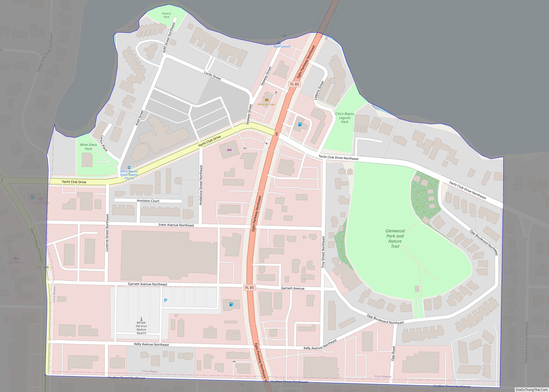
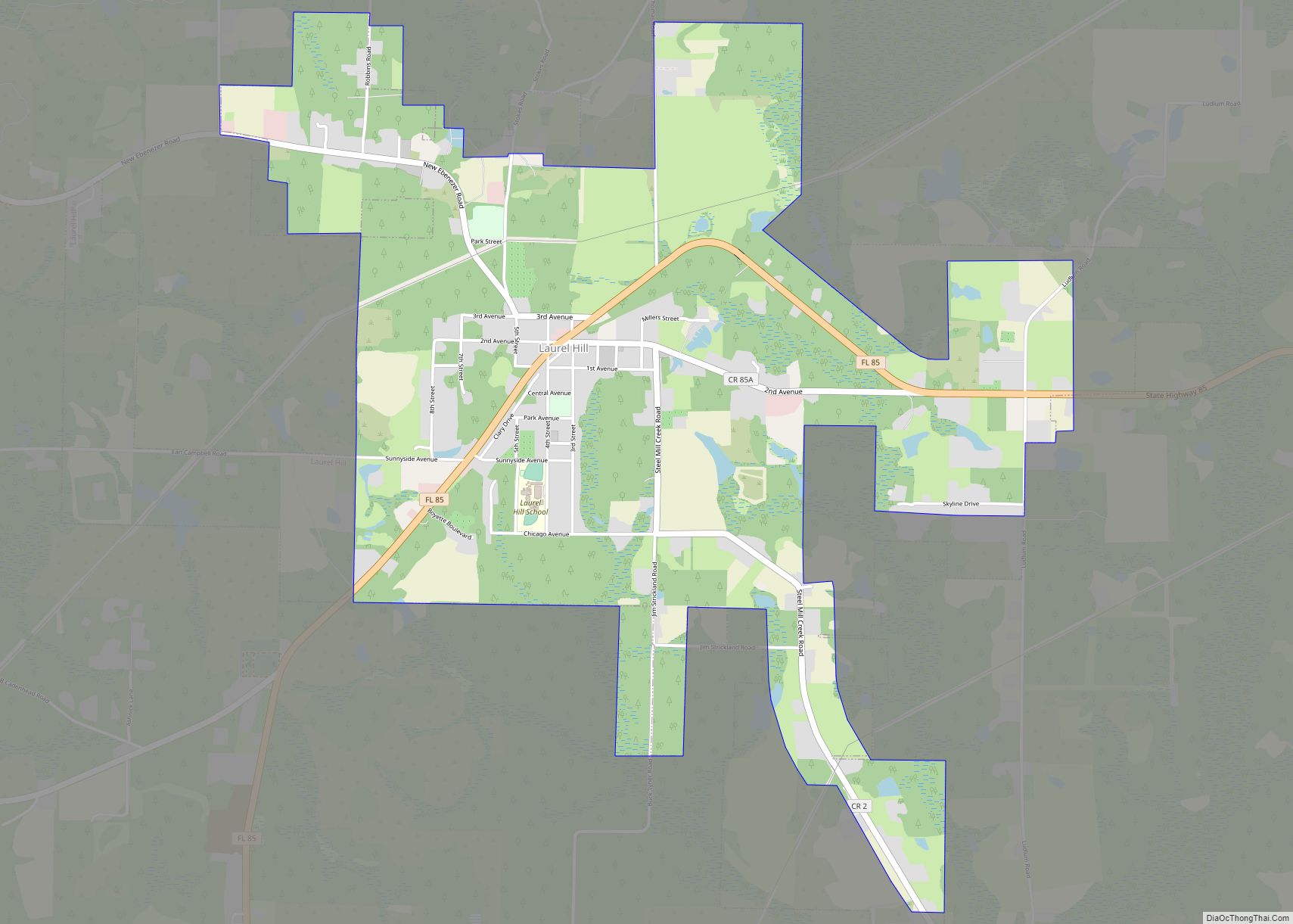
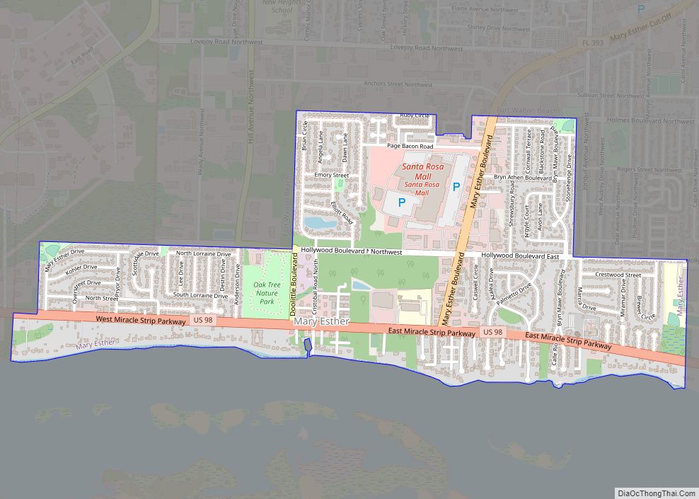
Laurel Hill Road Map

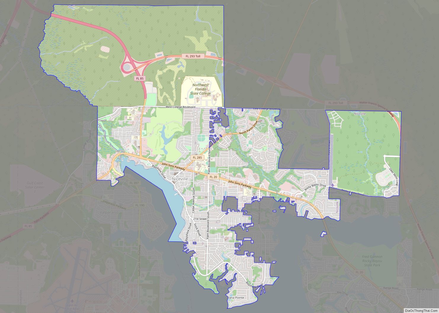
Laurel Hill city Satellite Map

Geography
Laurel Hill is located at 30°57′55″N 86°27′33″W / 30.965369°N 86.459149°W / 30.965369; -86.459149 (30.965369, –86.459149).
According to the United States Census Bureau, the city has a total area of 3.1 square miles (8.0 km), all land.
See also
Map of Florida State and its subdivision:- Alachua
- Baker
- Bay
- Bradford
- Brevard
- Broward
- Calhoun
- Charlotte
- Citrus
- Clay
- Collier
- Columbia
- Desoto
- Dixie
- Duval
- Escambia
- Flagler
- Franklin
- Gadsden
- Gilchrist
- Glades
- Gulf
- Hamilton
- Hardee
- Hendry
- Hernando
- Highlands
- Hillsborough
- Holmes
- Indian River
- Jackson
- Jefferson
- Lafayette
- Lake
- Lee
- Leon
- Levy
- Liberty
- Madison
- Manatee
- Marion
- Martin
- Miami-Dade
- Monroe
- Nassau
- Okaloosa
- Okeechobee
- Orange
- Osceola
- Palm Beach
- Pasco
- Pinellas
- Polk
- Putnam
- Saint Johns
- Saint Lucie
- Santa Rosa
- Sarasota
- Seminole
- Sumter
- Suwannee
- Taylor
- Union
- Volusia
- Wakulla
- Walton
- Washington
- Alabama
- Alaska
- Arizona
- Arkansas
- California
- Colorado
- Connecticut
- Delaware
- District of Columbia
- Florida
- Georgia
- Hawaii
- Idaho
- Illinois
- Indiana
- Iowa
- Kansas
- Kentucky
- Louisiana
- Maine
- Maryland
- Massachusetts
- Michigan
- Minnesota
- Mississippi
- Missouri
- Montana
- Nebraska
- Nevada
- New Hampshire
- New Jersey
- New Mexico
- New York
- North Carolina
- North Dakota
- Ohio
- Oklahoma
- Oregon
- Pennsylvania
- Rhode Island
- South Carolina
- South Dakota
- Tennessee
- Texas
- Utah
- Vermont
- Virginia
- Washington
- West Virginia
- Wisconsin
- Wyoming