Lealman, known as East Lealman until 2010, is a census-designated place (CDP) in Pinellas County, Florida, United States. The population was 19,879 at the 2010 census. Prior to 2010, Lealman was part of a larger CDP named West and East Lealman.
Community Redevelopment Area In 2015, the Pinellas County Board of County Commissioners created the Lealman Community Redevelopment Area (CRA), the first redevelopment area in unincorporated Pinellas County.
| Name: | Lealman CDP |
|---|---|
| LSAD Code: | 57 |
| LSAD Description: | CDP (suffix) |
| State: | Florida |
| County: | Pinellas County |
| Elevation: | 49 ft (15 m) |
| Total Area: | 4.09 sq mi (10.59 km²) |
| Land Area: | 4.02 sq mi (10.42 km²) |
| Water Area: | 0.07 sq mi (0.17 km²) |
| Total Population: | 21,189 |
| Population Density: | 5,268.27/sq mi (2,033.91/km²) |
| ZIP code: | 33714 |
| Area code: | 727 |
| FIPS code: | 1239775 |
| GNISfeature ID: | 1853302 |
Online Interactive Map
Click on ![]() to view map in "full screen" mode.
to view map in "full screen" mode.
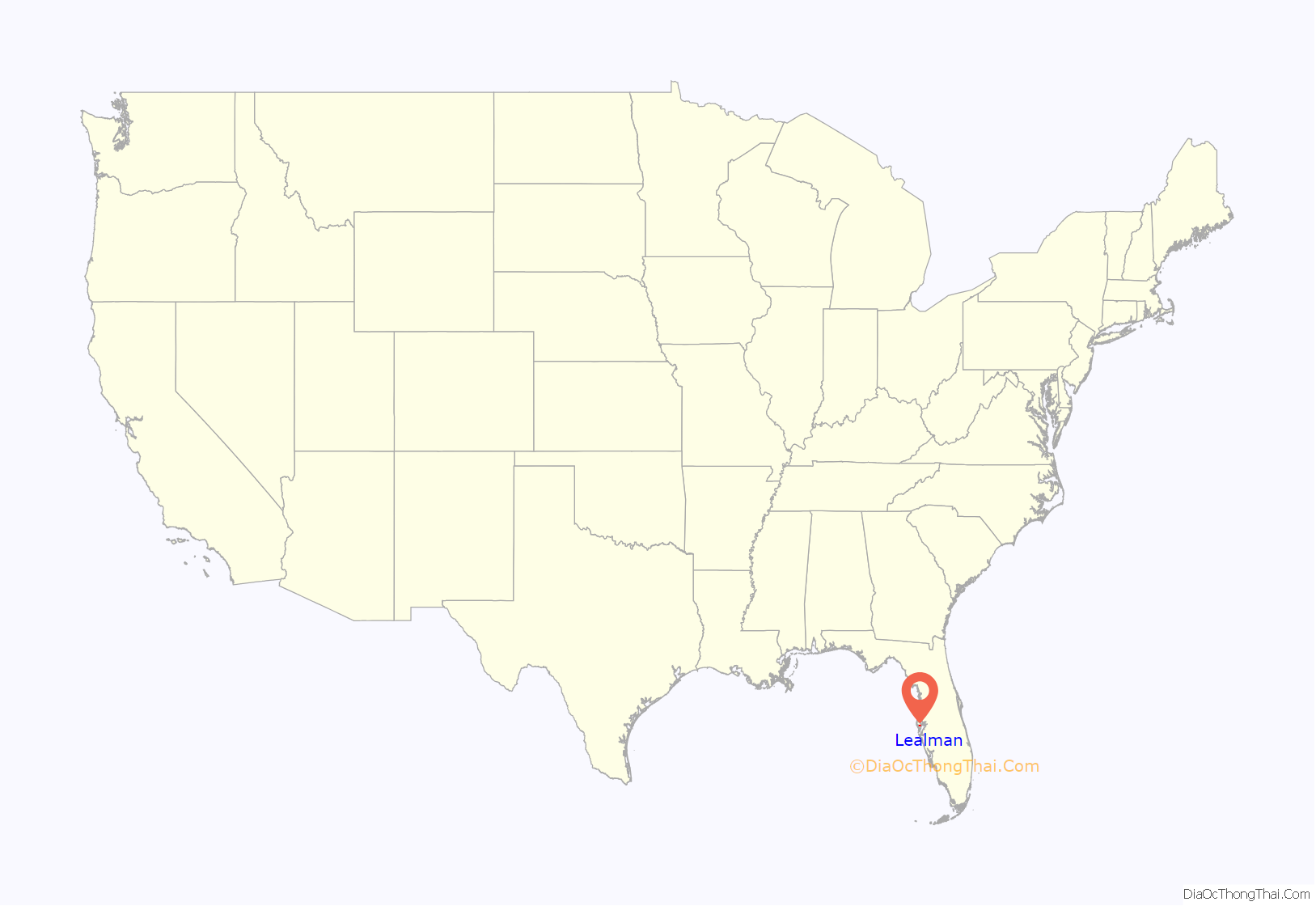
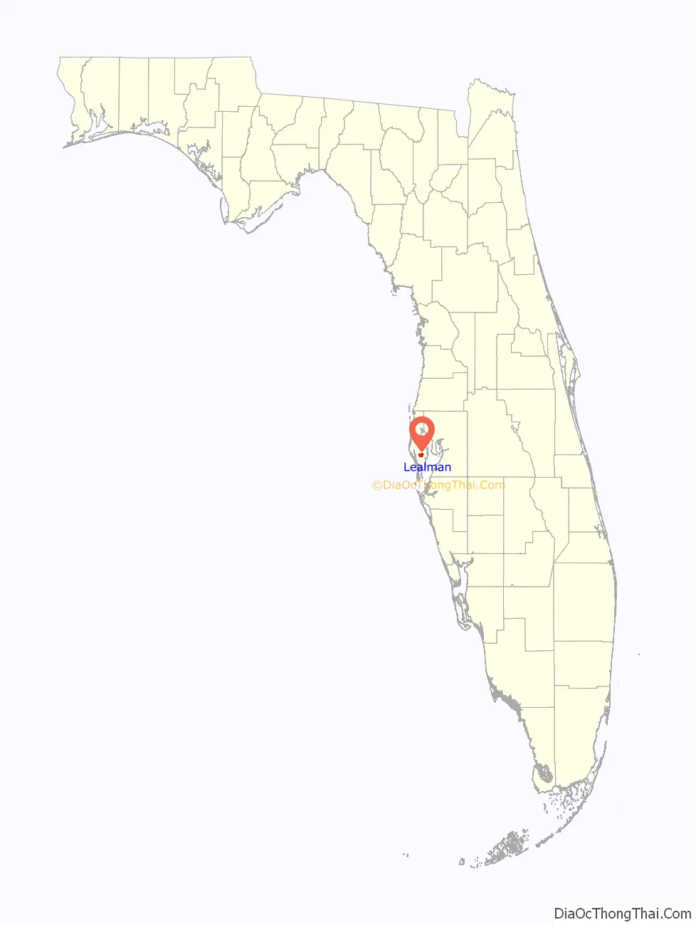
Lealman location map. Where is Lealman CDP?
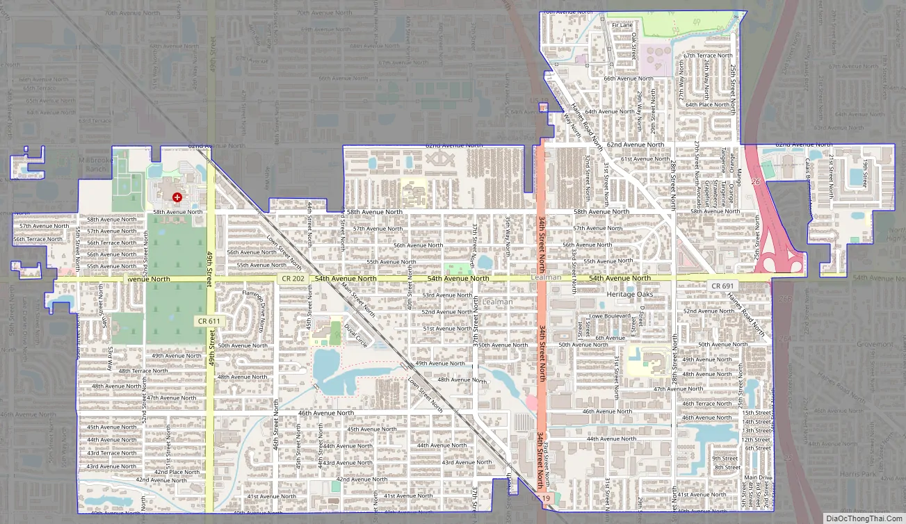
Lealman Road Map
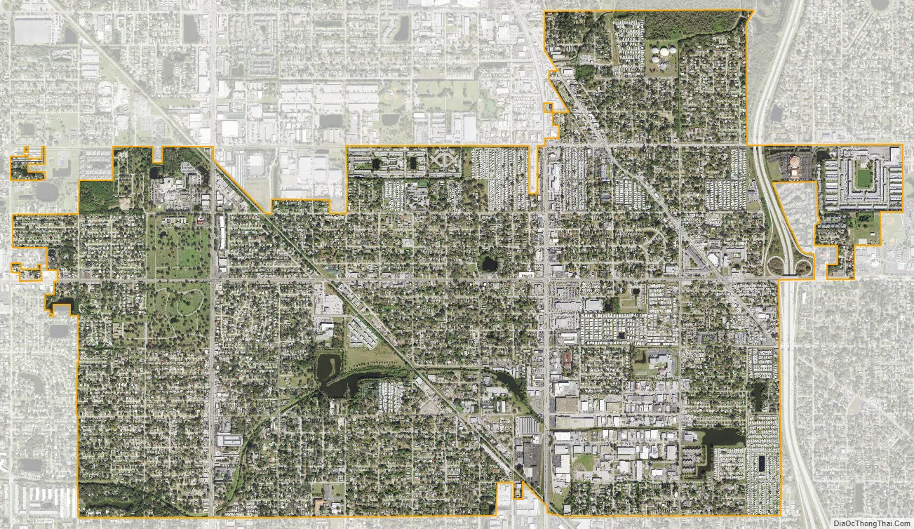
Lealman city Satellite Map
Geography
Lealman is located at 27°49′10″N 82°41′4″W / 27.81944°N 82.68444°W / 27.81944; -82.68444 (27.8197, -82.6846). The community is bordered by the city of Pinellas Park to the north, St. Petersburg to the east and south, and by the town of West Lealman to the west. The elevation is 49 feet (15 m) above sea level.
According to the United States Census Bureau, the CDP has a total area of 4.1 square miles (10.5 km), of which 4.0 square miles (10.4 km) is land, and 0.04 square miles (0.1 km) (1.63%) is water.
See also
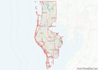
Map of Florida State and its subdivision:- Alachua
- Baker
- Bay
- Bradford
- Brevard
- Broward
- Calhoun
- Charlotte
- Citrus
- Clay
- Collier
- Columbia
- Desoto
- Dixie
- Duval
- Escambia
- Flagler
- Franklin
- Gadsden
- Gilchrist
- Glades
- Gulf
- Hamilton
- Hardee
- Hendry
- Hernando
- Highlands
- Hillsborough
- Holmes
- Indian River
- Jackson
- Jefferson
- Lafayette
- Lake
- Lee
- Leon
- Levy
- Liberty
- Madison
- Manatee
- Marion
- Martin
- Miami-Dade
- Monroe
- Nassau
- Okaloosa
- Okeechobee
- Orange
- Osceola
- Palm Beach
- Pasco
- Pinellas
- Polk
- Putnam
- Saint Johns
- Saint Lucie
- Santa Rosa
- Sarasota
- Seminole
- Sumter
- Suwannee
- Taylor
- Union
- Volusia
- Wakulla
- Walton
- Washington
- Alabama
- Alaska
- Arizona
- Arkansas
- California
- Colorado
- Connecticut
- Delaware
- District of Columbia
- Florida
- Georgia
- Hawaii
- Idaho
- Illinois
- Indiana
- Iowa
- Kansas
- Kentucky
- Louisiana
- Maine
- Maryland
- Massachusetts
- Michigan
- Minnesota
- Mississippi
- Missouri
- Montana
- Nebraska
- Nevada
- New Hampshire
- New Jersey
- New Mexico
- New York
- North Carolina
- North Dakota
- Ohio
- Oklahoma
- Oregon
- Pennsylvania
- Rhode Island
- South Carolina
- South Dakota
- Tennessee
- Texas
- Utah
- Vermont
- Virginia
- Washington
- West Virginia
- Wisconsin
- Wyoming