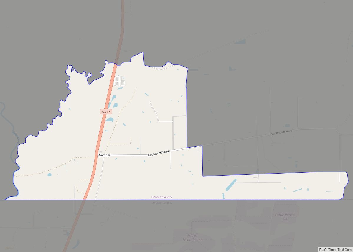
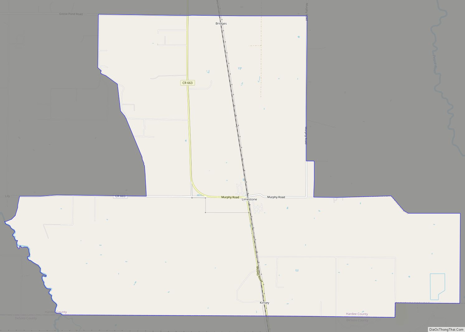
Limestone is an unincorporated community and census-designated place in Hardee County, Florida, United States. Its population was 157 as of the 2020 census.
| Name: | Limestone CDP |
|---|---|
| LSAD Code: | 57 |
| LSAD Description: | CDP (suffix) |
| State: | Florida |
| County: | Hardee County |
| Elevation: | 59 ft (18 m) |
| Total Area: | 23.76 sq mi (61.55 km²) |
| Land Area: | 23.76 sq mi (61.55 km²) |
| Water Area: | 0.00 sq mi (0.00 km²) |
| Total Population: | 157 |
| Population Density: | 6.61/sq mi (2.55/km²) |
| ZIP code: | 33865 |
| Area code: | 863 |
| FIPS code: | 1240525 |
| GNISfeature ID: | 285531 |
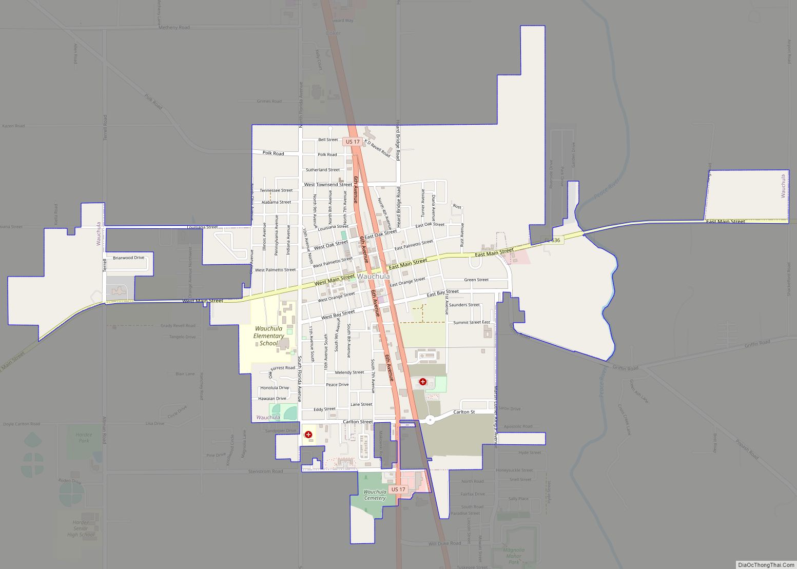
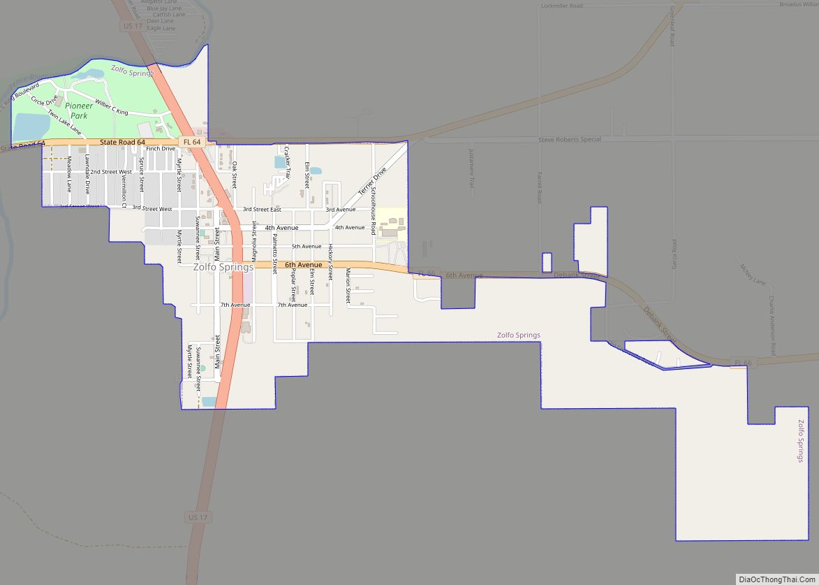
Online Interactive Map
Click on ![]() to view map in "full screen" mode.
to view map in "full screen" mode.
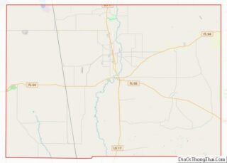
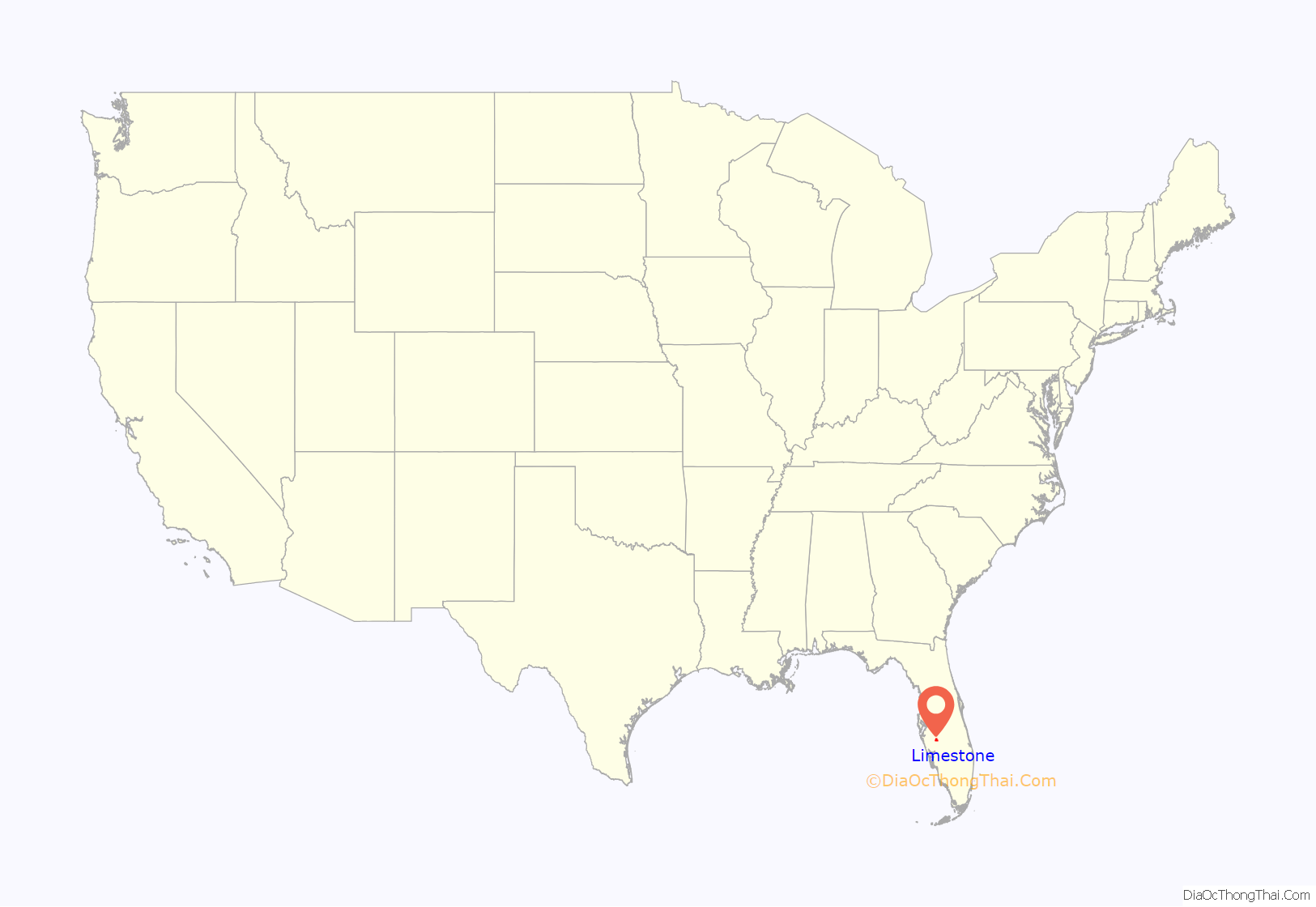
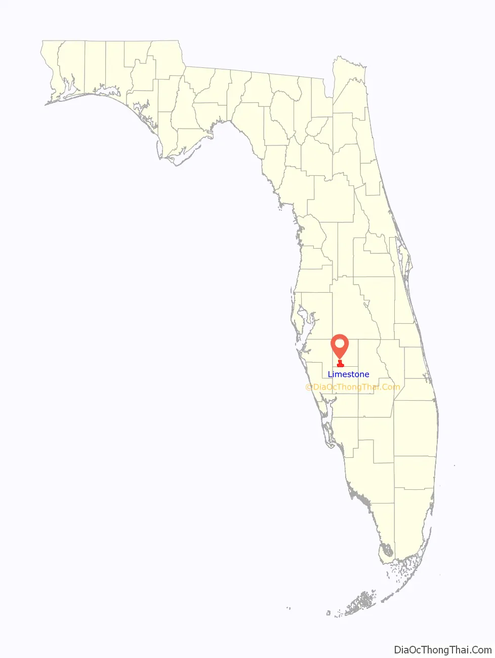
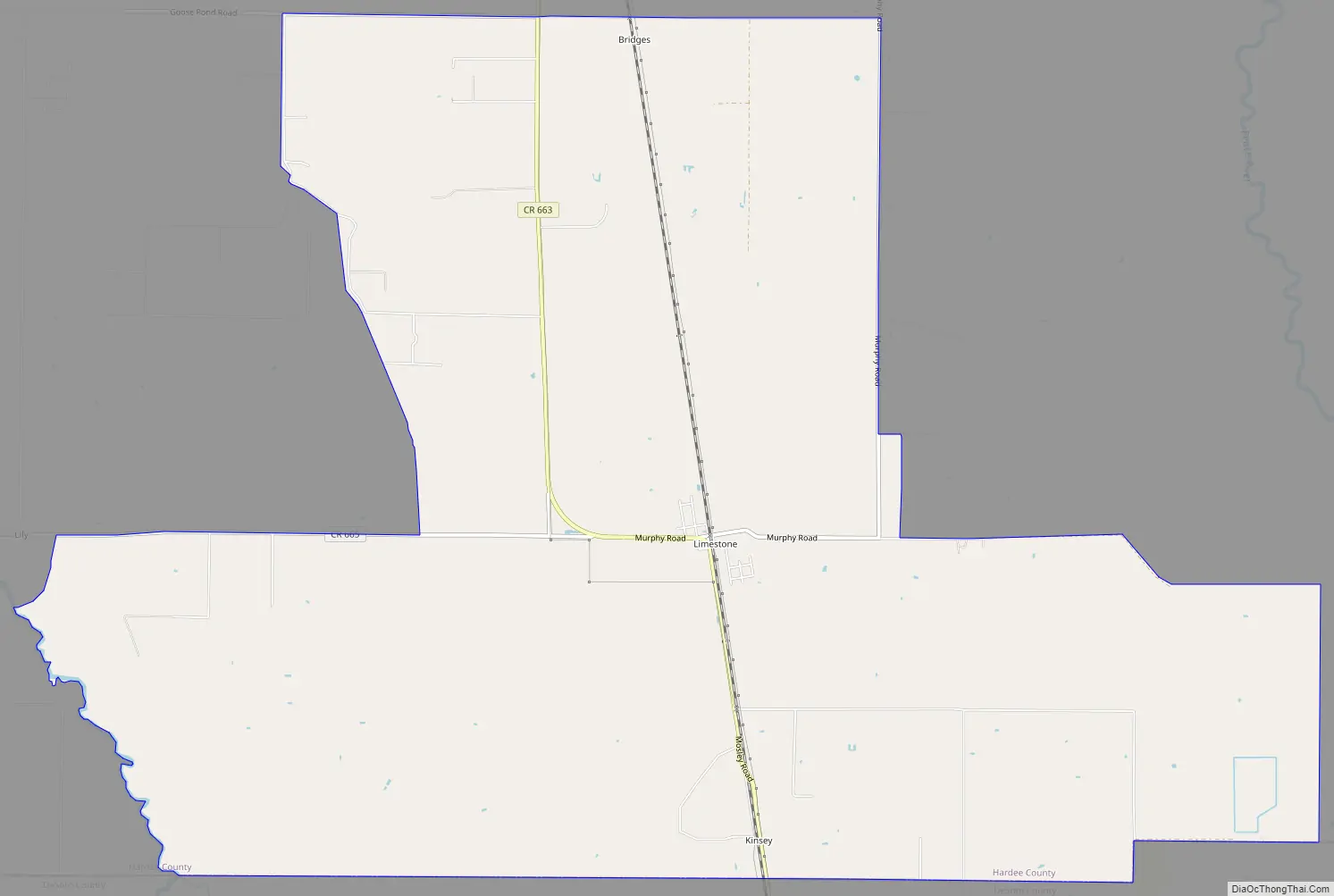
Limestone location map. Where is Limestone CDP?
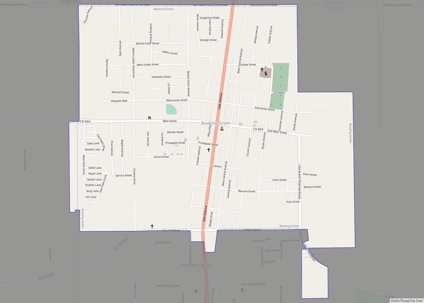
Limestone Road Map
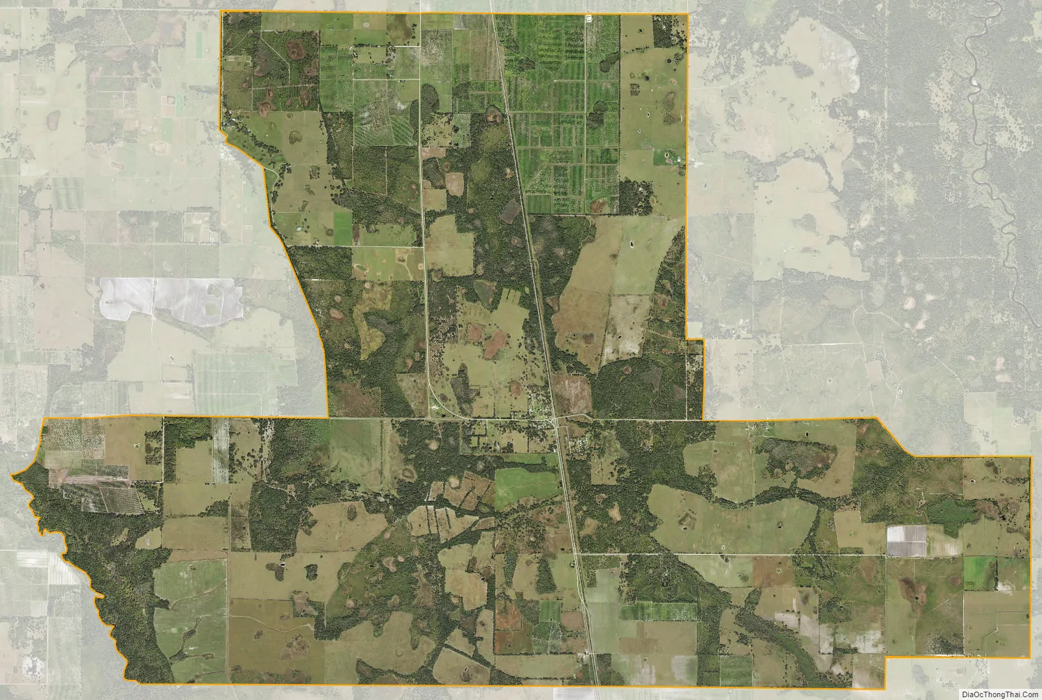
Limestone city Satellite Map
Geography
Limestone is in southwestern Hardee County and is bordered to the south by Desoto County. It is 15 miles (24 km) southwest of Zolfo Springs and 12 miles (19 km) northwest of Arcadia.
According to the U.S. Census Bureau, the CDP has an area of 23.764 square miles (61.55 km), all of it land.
See also
Map of Florida State and its subdivision:- Alachua
- Baker
- Bay
- Bradford
- Brevard
- Broward
- Calhoun
- Charlotte
- Citrus
- Clay
- Collier
- Columbia
- Desoto
- Dixie
- Duval
- Escambia
- Flagler
- Franklin
- Gadsden
- Gilchrist
- Glades
- Gulf
- Hamilton
- Hardee
- Hendry
- Hernando
- Highlands
- Hillsborough
- Holmes
- Indian River
- Jackson
- Jefferson
- Lafayette
- Lake
- Lee
- Leon
- Levy
- Liberty
- Madison
- Manatee
- Marion
- Martin
- Miami-Dade
- Monroe
- Nassau
- Okaloosa
- Okeechobee
- Orange
- Osceola
- Palm Beach
- Pasco
- Pinellas
- Polk
- Putnam
- Saint Johns
- Saint Lucie
- Santa Rosa
- Sarasota
- Seminole
- Sumter
- Suwannee
- Taylor
- Union
- Volusia
- Wakulla
- Walton
- Washington
- Alabama
- Alaska
- Arizona
- Arkansas
- California
- Colorado
- Connecticut
- Delaware
- District of Columbia
- Florida
- Georgia
- Hawaii
- Idaho
- Illinois
- Indiana
- Iowa
- Kansas
- Kentucky
- Louisiana
- Maine
- Maryland
- Massachusetts
- Michigan
- Minnesota
- Mississippi
- Missouri
- Montana
- Nebraska
- Nevada
- New Hampshire
- New Jersey
- New Mexico
- New York
- North Carolina
- North Dakota
- Ohio
- Oklahoma
- Oregon
- Pennsylvania
- Rhode Island
- South Carolina
- South Dakota
- Tennessee
- Texas
- Utah
- Vermont
- Virginia
- Washington
- West Virginia
- Wisconsin
- Wyoming