Madeira Beach (/məˈdɛərə/ mə-DAIR-ə) is a city in Pinellas County, Florida, United States, bordered on the west by the Gulf of Mexico, and on the east by St. Petersburg. As of the 2020 census, the population was 3,895. Madeira Beach is known to be a quaint beach town that attracts affluent, preppy college students during the spring season. The entertainment district of John’s Pass is located on the Intracoastal Waterway. The city is often referred to by locals as Mad Beach. It is named after the Portuguese island of Madeira.
| Name: | Madeira Beach city |
|---|---|
| LSAD Code: | 25 |
| LSAD Description: | city (suffix) |
| State: | Florida |
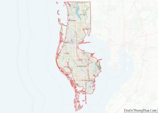
| County: | Pinellas County |
| Elevation: | 3 ft (1 m) |
| Total Area: | 3.19 sq mi (8.27 km²) |
| Land Area: | 0.98 sq mi (2.54 km²) |
| Water Area: | 2.21 sq mi (5.72 km²) |
| Total Population: | 3,895 |
| Population Density: | 3,966.40/sq mi (1,531.69/km²) |
| ZIP code: | 33708, 33738 |
| Area code: | 727 |
| FIPS code: | 1242400 |
| GNISfeature ID: | 0286267 |
| Website: | www.madeirabeachfl.gov |
Online Interactive Map
Click on ![]() to view map in "full screen" mode.
to view map in "full screen" mode.
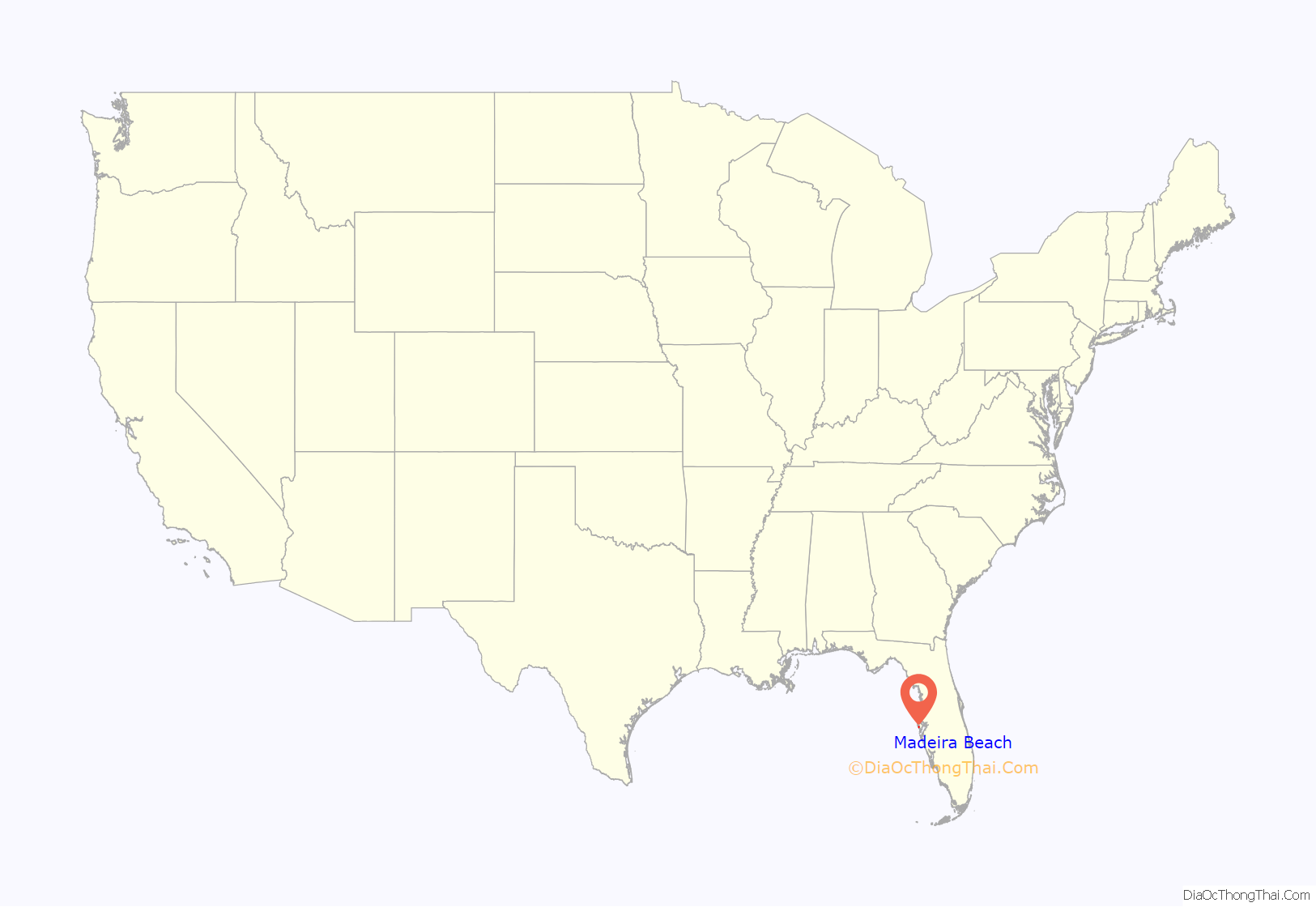
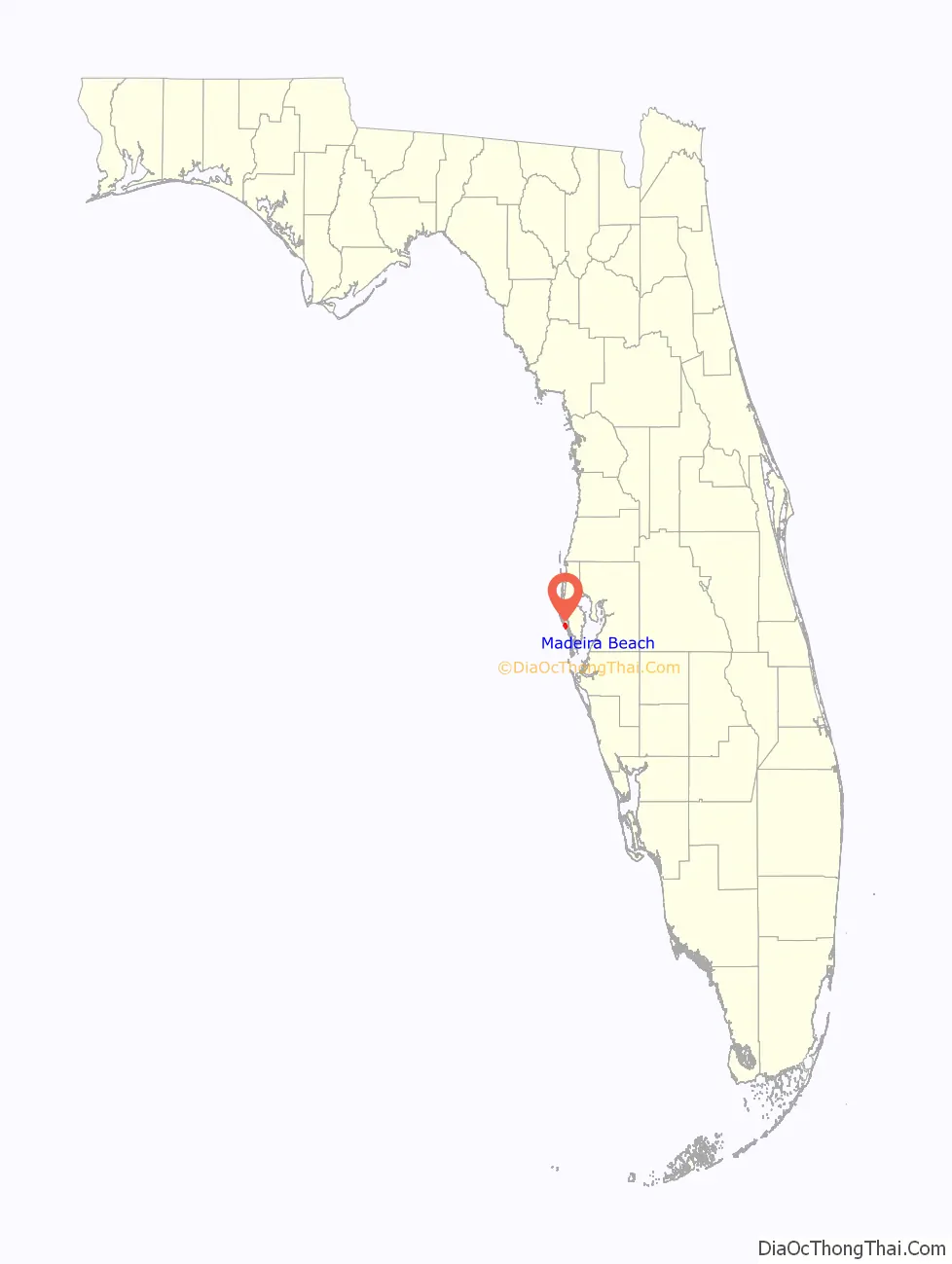
Madeira Beach location map. Where is Madeira Beach city?
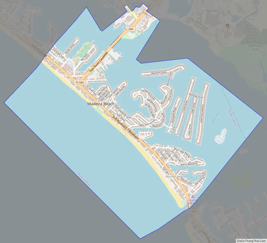
Madeira Beach Road Map
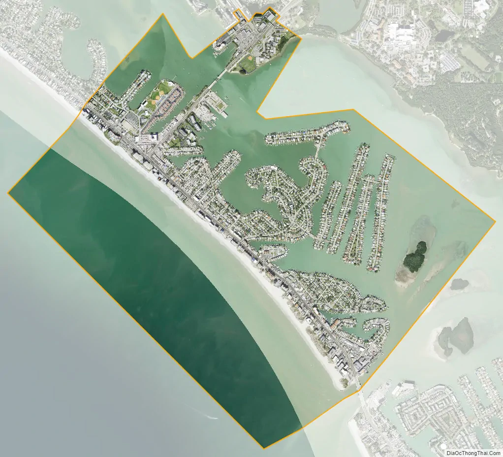
Madeira Beach city Satellite Map
Geography
Madeira Beach is located at 27°47′45″N 82°47′26″W / 27.795853°N 82.790623°W / 27.795853; -82.790623.
According to the United States Census Bureau, the city has a total area of 3.3 square miles (8.5 km), of which 1.0 square mile (2.6 km) is land, and 2.2 square miles (5.7 km) (68.50%) are water. The city is located on a barrier island between the Gulf of Mexico to the southwest, and Boca Ciega Bay to the northeast. One bridge, the Tom Stuart Causeway, connects Madeira Beach to the mainland, in the unincorporated community of Bay Pines. To the northwest of Madeira Beach is the town of Redington Beach, and to the southeast, across the inlet of John’s Pass, is the city of Treasure Island.
See also
Map of Florida State and its subdivision:- Alachua
- Baker
- Bay
- Bradford
- Brevard
- Broward
- Calhoun
- Charlotte
- Citrus
- Clay
- Collier
- Columbia
- Desoto
- Dixie
- Duval
- Escambia
- Flagler
- Franklin
- Gadsden
- Gilchrist
- Glades
- Gulf
- Hamilton
- Hardee
- Hendry
- Hernando
- Highlands
- Hillsborough
- Holmes
- Indian River
- Jackson
- Jefferson
- Lafayette
- Lake
- Lee
- Leon
- Levy
- Liberty
- Madison
- Manatee
- Marion
- Martin
- Miami-Dade
- Monroe
- Nassau
- Okaloosa
- Okeechobee
- Orange
- Osceola
- Palm Beach
- Pasco
- Pinellas
- Polk
- Putnam
- Saint Johns
- Saint Lucie
- Santa Rosa
- Sarasota
- Seminole
- Sumter
- Suwannee
- Taylor
- Union
- Volusia
- Wakulla
- Walton
- Washington
- Alabama
- Alaska
- Arizona
- Arkansas
- California
- Colorado
- Connecticut
- Delaware
- District of Columbia
- Florida
- Georgia
- Hawaii
- Idaho
- Illinois
- Indiana
- Iowa
- Kansas
- Kentucky
- Louisiana
- Maine
- Maryland
- Massachusetts
- Michigan
- Minnesota
- Mississippi
- Missouri
- Montana
- Nebraska
- Nevada
- New Hampshire
- New Jersey
- New Mexico
- New York
- North Carolina
- North Dakota
- Ohio
- Oklahoma
- Oregon
- Pennsylvania
- Rhode Island
- South Carolina
- South Dakota
- Tennessee
- Texas
- Utah
- Vermont
- Virginia
- Washington
- West Virginia
- Wisconsin
- Wyoming