Treasure Island is a city in Pinellas County, Florida, United States. It is situated on a barrier island in the Gulf of Mexico.
As of the 2020 census, the city population was 6,584.
| Name: | Treasure Island city |
|---|---|
| LSAD Code: | 25 |
| LSAD Description: | city (suffix) |
| State: | Florida |
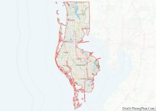
| County: | Pinellas County |
| Elevation: | 3 ft (1 m) |
| Land Area: | 1.55 sq mi (4.00 km²) |
| Water Area: | 3.85 sq mi (9.98 km²) |
| Population Density: | 4,258.73/sq mi (1,644.50/km²) |
| ZIP code: | 33706, 33740 |
| Area code: | 727 |
| FIPS code: | 1272325 |
| GNISfeature ID: | 0292415 |
| Website: | www.mytreasureisland.org |
Online Interactive Map
Click on ![]() to view map in "full screen" mode.
to view map in "full screen" mode.
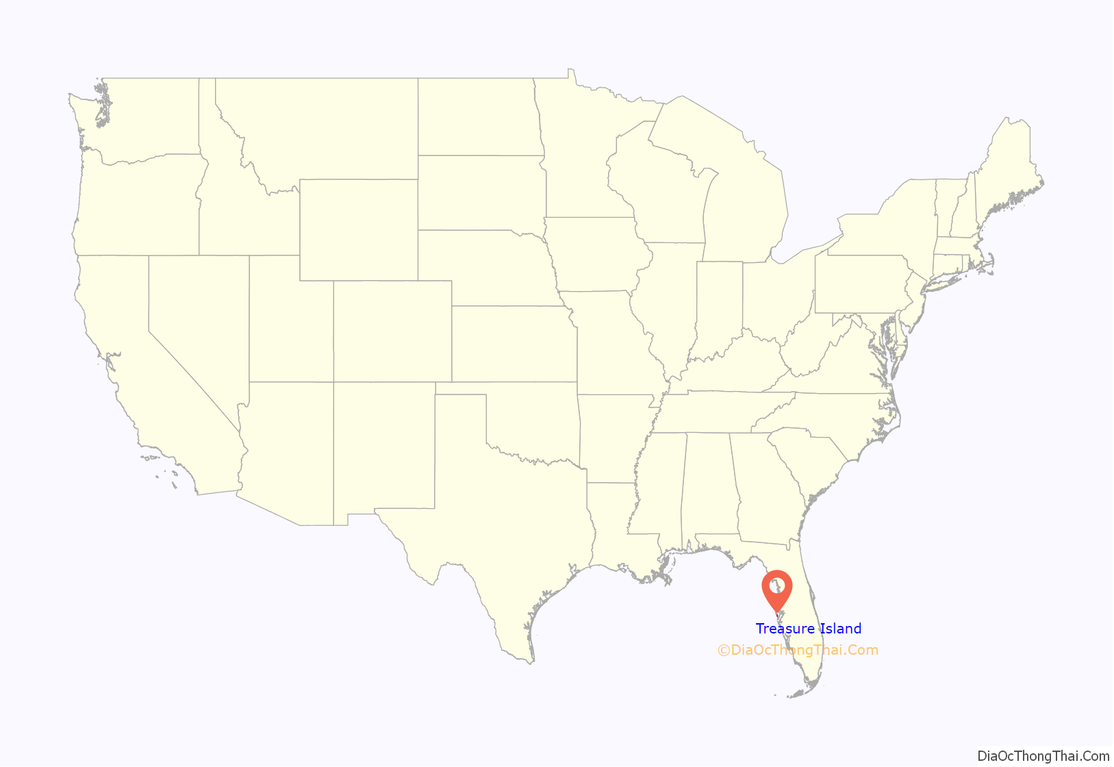
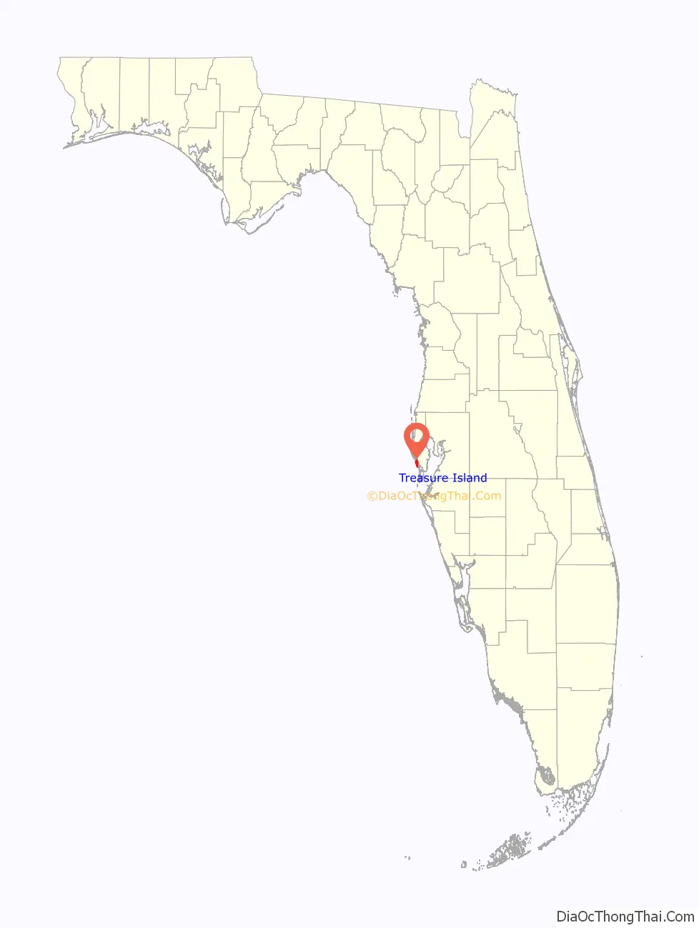
Treasure Island location map. Where is Treasure Island city?
History
The area of Treasure Island was originally settled in small communities by the Tocobaga around 300 CE. The Timucua traded with other Native American tribes in the area until the arrival of Pánfilo de Narváez in 1528. De Narváez decimated the indigenous people before leaving the area in search of gold.
Treasure Island got its name early in the 20th century, after several property owners attempted to boost sales of the properties being developed on the island by first burying and then pretending to discover a couple of wooden chests on the beach around 1915. After claiming the chests were filled with treasure, the news of the discovery quickly spread and people began calling the island Treasure Island.
With an elevation of only three feet, the Great Gale of 1848 carved out John’s Pass on the island’s north end and split off two smaller islands, called the Isle of Palms and Isle of Capri.
Treasure Island saw a surge in residential and hotel construction following World War II through the 1950s. The real estate used in these ventures often consisted of fill from dredged material; that is, artificial extensions of the land were created, which were usually designed for convenient access to navigable waterways.
Treasure Island today has a thriving bar and restaurant scene in its downtown.
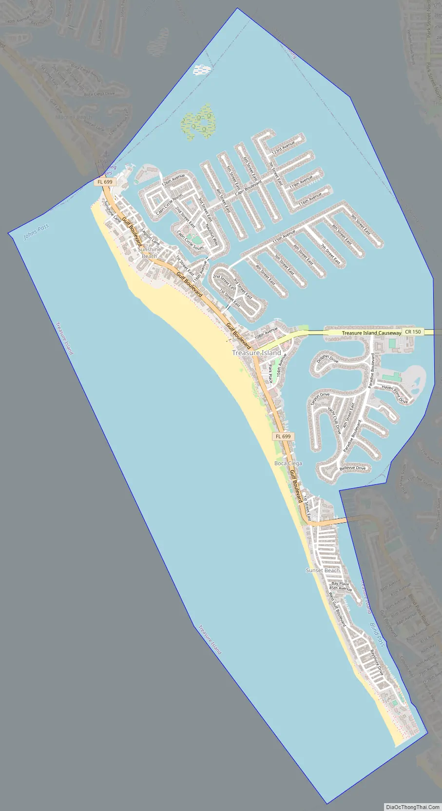
Treasure Island Road Map
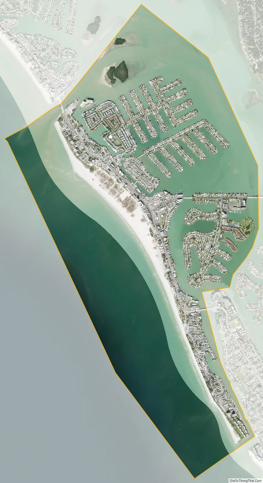
Treasure Island city Satellite Map
Geography
According to the U.S. Census Bureau, the city has a total area of 5.3 square miles (13.8 km), of which 1.6 square miles (4.1 km) is land and 3.7 square miles (9.7 km) (70.11%) is water.
See also
Map of Florida State and its subdivision:- Alachua
- Baker
- Bay
- Bradford
- Brevard
- Broward
- Calhoun
- Charlotte
- Citrus
- Clay
- Collier
- Columbia
- Desoto
- Dixie
- Duval
- Escambia
- Flagler
- Franklin
- Gadsden
- Gilchrist
- Glades
- Gulf
- Hamilton
- Hardee
- Hendry
- Hernando
- Highlands
- Hillsborough
- Holmes
- Indian River
- Jackson
- Jefferson
- Lafayette
- Lake
- Lee
- Leon
- Levy
- Liberty
- Madison
- Manatee
- Marion
- Martin
- Miami-Dade
- Monroe
- Nassau
- Okaloosa
- Okeechobee
- Orange
- Osceola
- Palm Beach
- Pasco
- Pinellas
- Polk
- Putnam
- Saint Johns
- Saint Lucie
- Santa Rosa
- Sarasota
- Seminole
- Sumter
- Suwannee
- Taylor
- Union
- Volusia
- Wakulla
- Walton
- Washington
- Alabama
- Alaska
- Arizona
- Arkansas
- California
- Colorado
- Connecticut
- Delaware
- District of Columbia
- Florida
- Georgia
- Hawaii
- Idaho
- Illinois
- Indiana
- Iowa
- Kansas
- Kentucky
- Louisiana
- Maine
- Maryland
- Massachusetts
- Michigan
- Minnesota
- Mississippi
- Missouri
- Montana
- Nebraska
- Nevada
- New Hampshire
- New Jersey
- New Mexico
- New York
- North Carolina
- North Dakota
- Ohio
- Oklahoma
- Oregon
- Pennsylvania
- Rhode Island
- South Carolina
- South Dakota
- Tennessee
- Texas
- Utah
- Vermont
- Virginia
- Washington
- West Virginia
- Wisconsin
- Wyoming