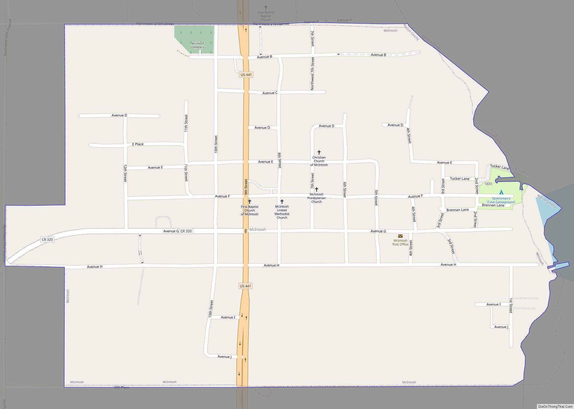
McIntosh is a town in Marion County, Florida, United States. As of the 2020 census, the town population was 463. It is part of the Ocala Metropolitan Statistical Area.
| Name: | McIntosh town |
|---|---|
| LSAD Code: | 43 |
| LSAD Description: | town (suffix) |
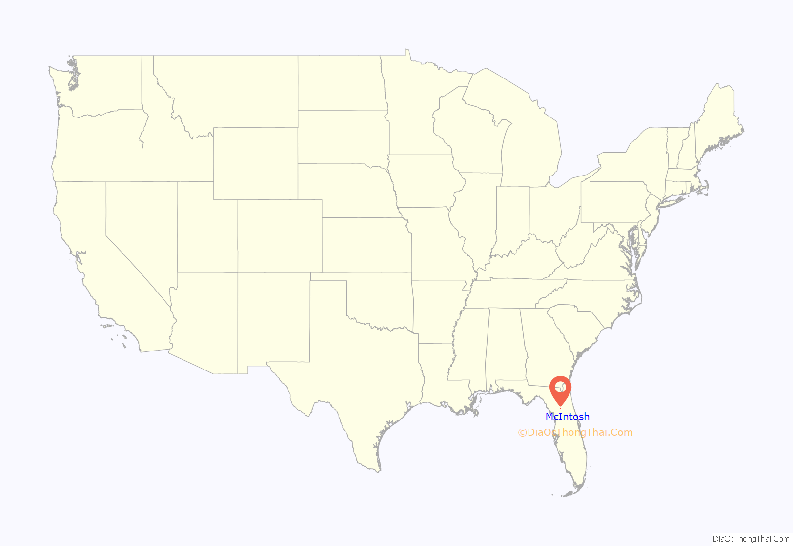
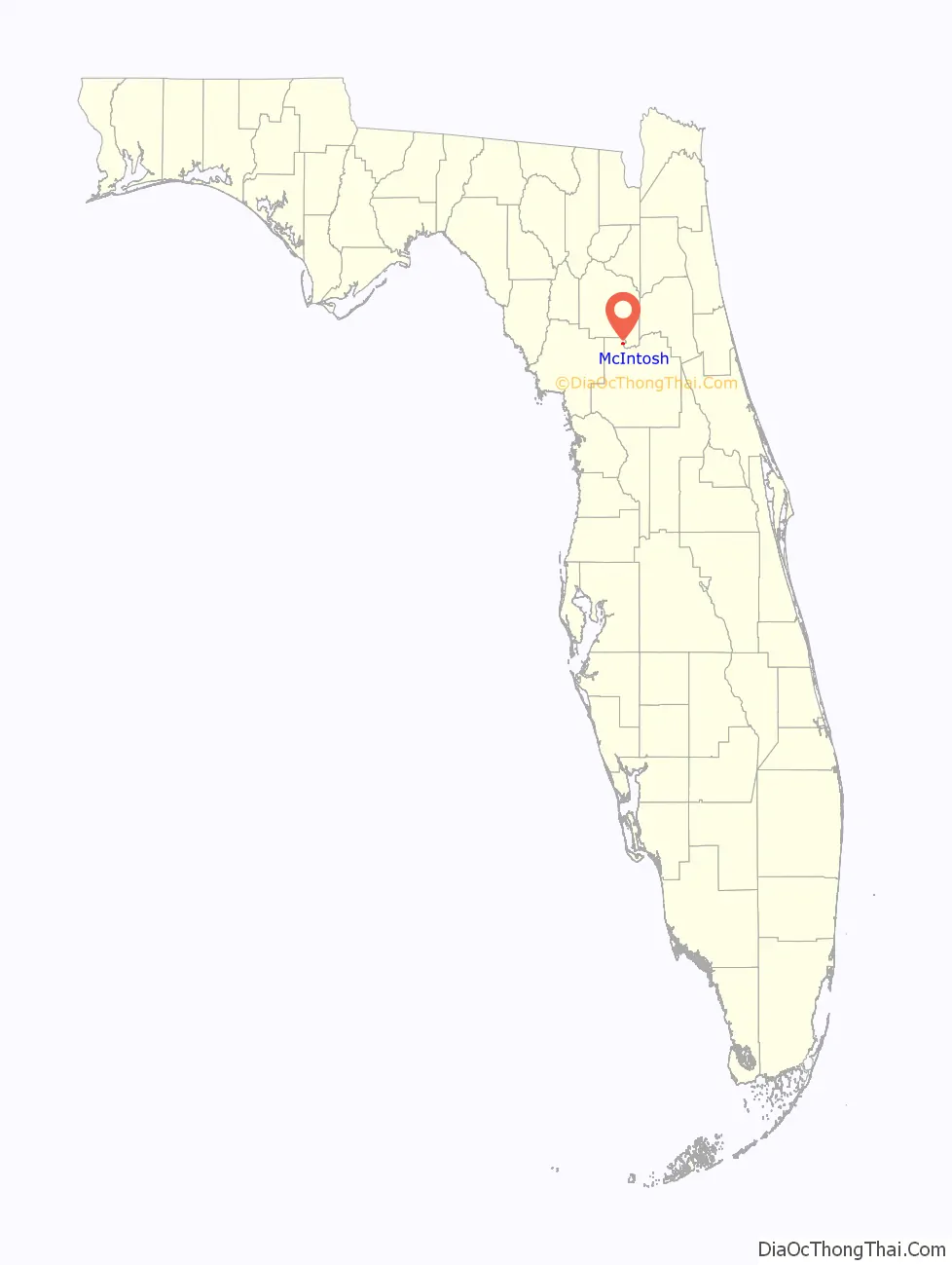
| State: | Florida |
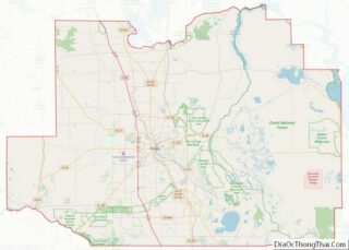
| County: | Marion County |
| Elevation: | 108 ft (33 m) |
| Total Area: | 0.71 sq mi (1.84 km²) |
| Land Area: | 0.71 sq mi (1.84 km²) |
| Water Area: | 0.00 sq mi (0.00 km²) |
| Total Population: | 463 |
| Population Density: | 651.20/sq mi (251.38/km²) |
| ZIP code: | 32664 |
| Area code: | 352 |
| FIPS code: | 1242150 |
| GNISfeature ID: | 0286619 |
| Website: | www.townofmcintosh.org |
Online Interactive Map
Click on ![]() to view map in "full screen" mode.
to view map in "full screen" mode.
McIntosh location map. Where is McIntosh town?
History
McIntosh was platted in 1885 and named in honor of Col. John C. McIntosh, an early settler. A post office has been in operation at McIntosh since 1887.
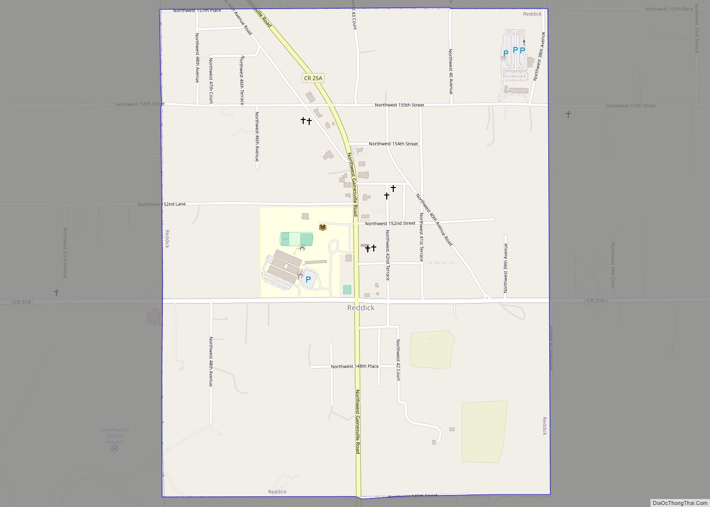
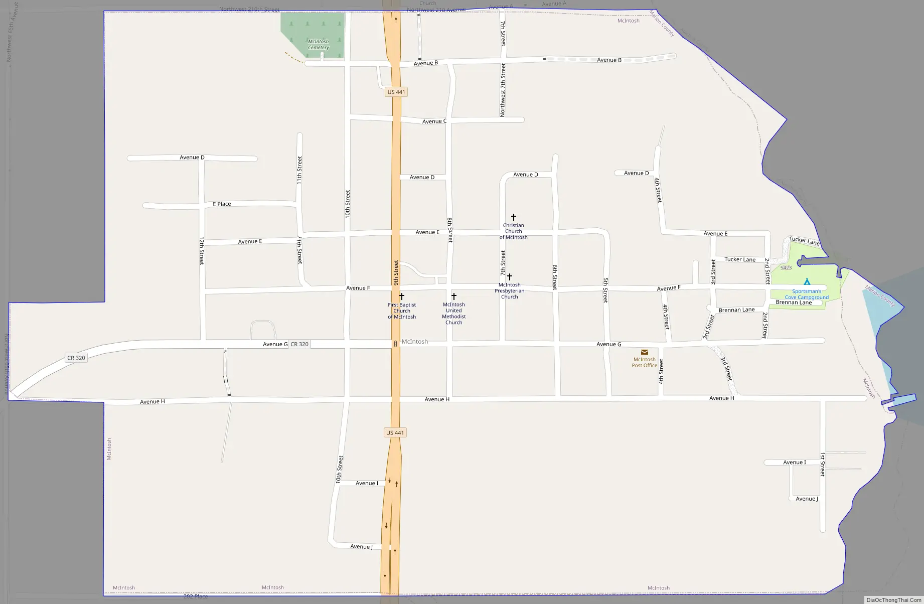
McIntosh Road Map
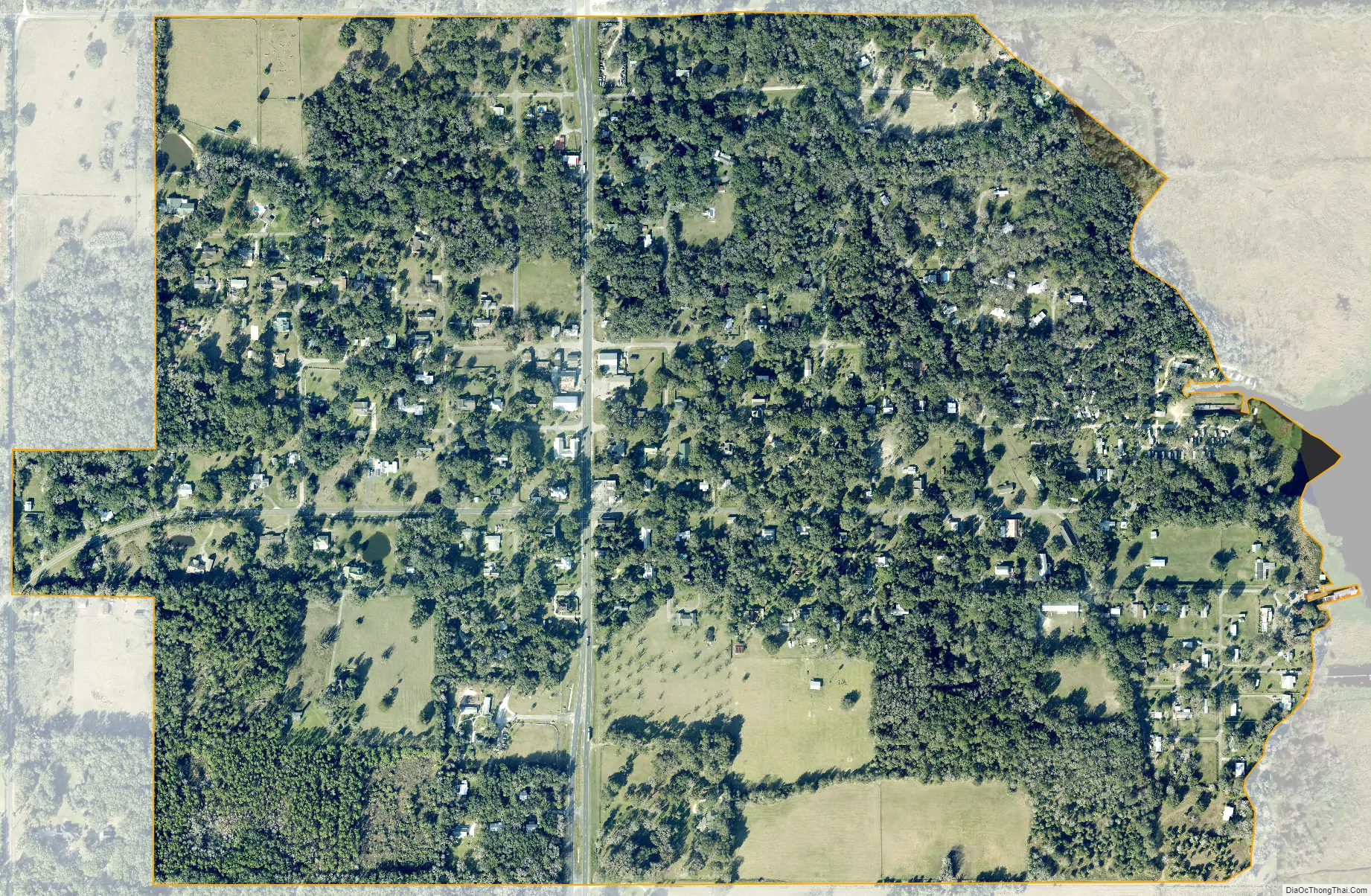
McIntosh city Satellite Map
Geography
McIntosh is located in northern Marion County at 29°26′58″N 82°13′14″W / 29.449322°N 82.220668°W / 29.449322; -82.220668. It is bordered to the east by Orange Lake in Alachua County.
U.S. Route 441 passes through the town, leading south 19 miles (31 km) to Ocala, the county seat, and northwest 17 miles (27 km) to Gainesville.
According to the United States Census Bureau, McIntosh has a total area of 0.7 square miles (1.8 km), all land.
See also
Map of Florida State and its subdivision:- Alachua
- Baker
- Bay
- Bradford
- Brevard
- Broward
- Calhoun
- Charlotte
- Citrus
- Clay
- Collier
- Columbia
- Desoto
- Dixie
- Duval
- Escambia
- Flagler
- Franklin
- Gadsden
- Gilchrist
- Glades
- Gulf
- Hamilton
- Hardee
- Hendry
- Hernando
- Highlands
- Hillsborough
- Holmes
- Indian River
- Jackson
- Jefferson
- Lafayette
- Lake
- Lee
- Leon
- Levy
- Liberty
- Madison
- Manatee
- Marion
- Martin
- Miami-Dade
- Monroe
- Nassau
- Okaloosa
- Okeechobee
- Orange
- Osceola
- Palm Beach
- Pasco
- Pinellas
- Polk
- Putnam
- Saint Johns
- Saint Lucie
- Santa Rosa
- Sarasota
- Seminole
- Sumter
- Suwannee
- Taylor
- Union
- Volusia
- Wakulla
- Walton
- Washington
- Alabama
- Alaska
- Arizona
- Arkansas
- California
- Colorado
- Connecticut
- Delaware
- District of Columbia
- Florida
- Georgia
- Hawaii
- Idaho
- Illinois
- Indiana
- Iowa
- Kansas
- Kentucky
- Louisiana
- Maine
- Maryland
- Massachusetts
- Michigan
- Minnesota
- Mississippi
- Missouri
- Montana
- Nebraska
- Nevada
- New Hampshire
- New Jersey
- New Mexico
- New York
- North Carolina
- North Dakota
- Ohio
- Oklahoma
- Oregon
- Pennsylvania
- Rhode Island
- South Carolina
- South Dakota
- Tennessee
- Texas
- Utah
- Vermont
- Virginia
- Washington
- West Virginia
- Wisconsin
- Wyoming