Minneola is a city in Lake County, Florida, United States. The population was 9,403 at the 2010 census. As of 2019, the population recorded by the U.S. Census Bureau is 12,595. It is part of the Orlando–Kissimmee–Sanford Metropolitan Statistical Area. The Minneola tangelo is named after the city.
| Name: | Minneola city |
|---|---|
| LSAD Code: | 25 |
| LSAD Description: | city (suffix) |
| State: | Florida |
| County: | Lake County |
| Elevation: | 151 ft (46 m) |
| Total Area: | 11.47 sq mi (29.70 km²) |
| Land Area: | 11.13 sq mi (28.83 km²) |
| Water Area: | 2,020 sq mi (0.86 km²) |
| Total Population: | 13,843 |
| Population Density: | 1,243.42/sq mi (480.09/km²) |
| ZIP code: | 34715 |
| Area code: | 352 |
| FIPS code: | 1245900 |
| GNISfeature ID: | 2404273 |
| Website: | www.minneola.us |
Online Interactive Map
Click on ![]() to view map in "full screen" mode.
to view map in "full screen" mode.
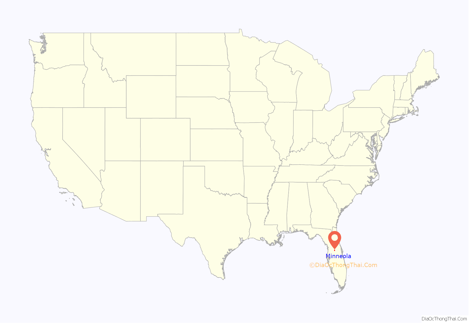
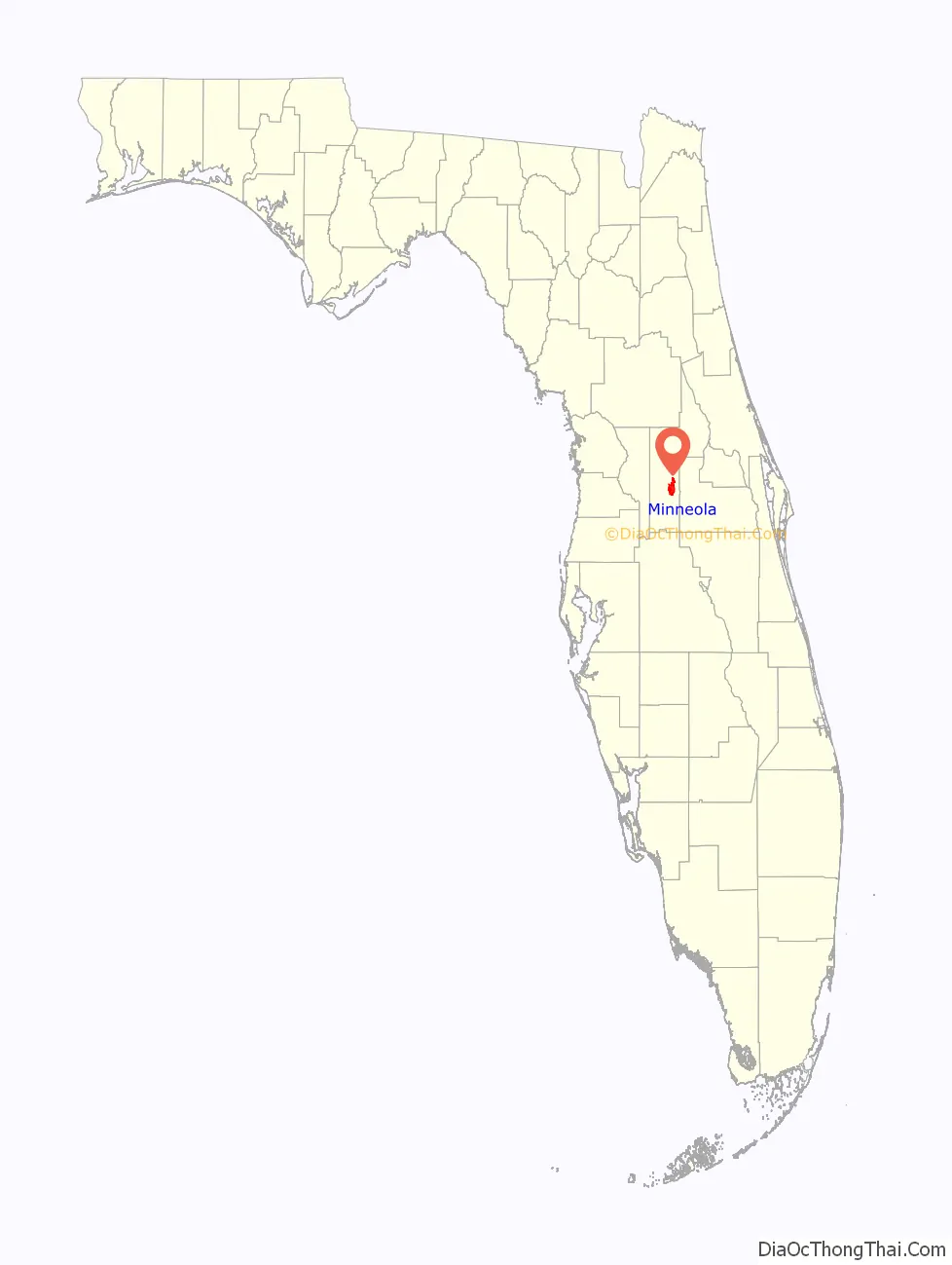
Minneola location map. Where is Minneola city?
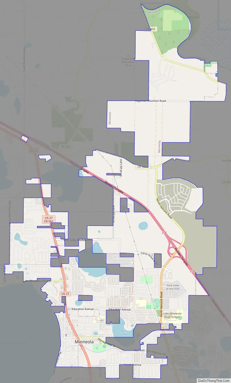
Minneola Road Map
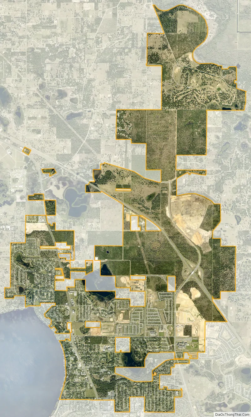
Minneola city Satellite Map
Geography
Minneola is located at 28°34′41″N 81°44′49″W / 28.578027°N 81.746885°W / 28.578027; -81.746885.
According to the United States Census Bureau, the city has a total area of 10.71 square miles (28.4 km), of which 10.34 square miles (26.8 km) is land and 0.37 square miles (0.96 km) (5.26%) is water.
See also
Map of Florida State and its subdivision:- Alachua
- Baker
- Bay
- Bradford
- Brevard
- Broward
- Calhoun
- Charlotte
- Citrus
- Clay
- Collier
- Columbia
- Desoto
- Dixie
- Duval
- Escambia
- Flagler
- Franklin
- Gadsden
- Gilchrist
- Glades
- Gulf
- Hamilton
- Hardee
- Hendry
- Hernando
- Highlands
- Hillsborough
- Holmes
- Indian River
- Jackson
- Jefferson
- Lafayette
- Lake
- Lee
- Leon
- Levy
- Liberty
- Madison
- Manatee
- Marion
- Martin
- Miami-Dade
- Monroe
- Nassau
- Okaloosa
- Okeechobee
- Orange
- Osceola
- Palm Beach
- Pasco
- Pinellas
- Polk
- Putnam
- Saint Johns
- Saint Lucie
- Santa Rosa
- Sarasota
- Seminole
- Sumter
- Suwannee
- Taylor
- Union
- Volusia
- Wakulla
- Walton
- Washington
- Alabama
- Alaska
- Arizona
- Arkansas
- California
- Colorado
- Connecticut
- Delaware
- District of Columbia
- Florida
- Georgia
- Hawaii
- Idaho
- Illinois
- Indiana
- Iowa
- Kansas
- Kentucky
- Louisiana
- Maine
- Maryland
- Massachusetts
- Michigan
- Minnesota
- Mississippi
- Missouri
- Montana
- Nebraska
- Nevada
- New Hampshire
- New Jersey
- New Mexico
- New York
- North Carolina
- North Dakota
- Ohio
- Oklahoma
- Oregon
- Pennsylvania
- Rhode Island
- South Carolina
- South Dakota
- Tennessee
- Texas
- Utah
- Vermont
- Virginia
- Washington
- West Virginia
- Wisconsin
- Wyoming


