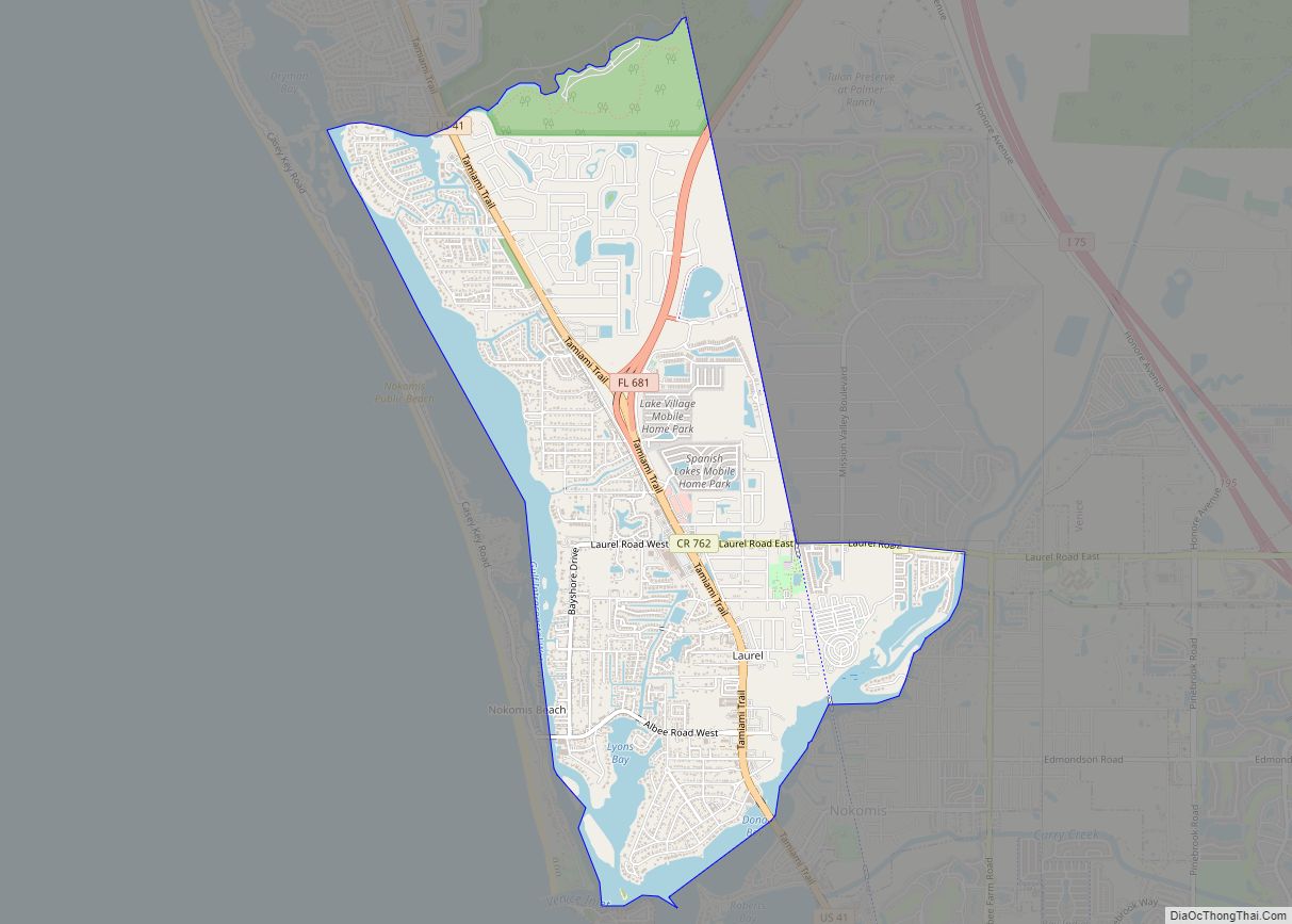
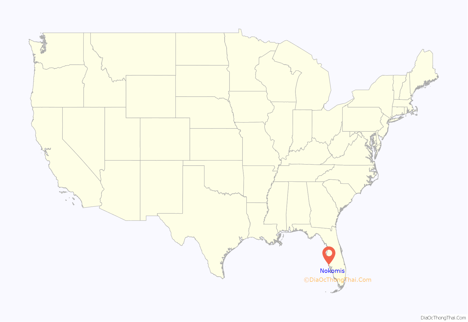
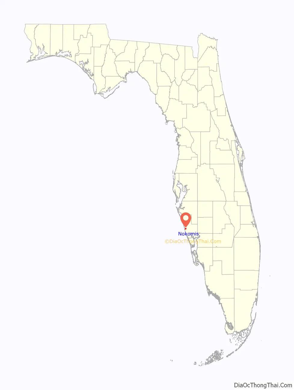
Nokomis is an unincorporated town in Sarasota County and a census-designated place (CDP) along the Gulf Coast of Florida, United States, located south of Osprey and just north of Venice. The town has access to the coast through Nokomis Public Beach and Casey Key. The town’s population was 3,167 at the 2010 census. It is part of the Bradenton–Sarasota–Venice Metropolitan Statistical Area.
| Name: | Nokomis CDP |
|---|---|
| LSAD Code: | 57 |
| LSAD Description: | CDP (suffix) |
| State: | Florida |
| County: | Sarasota County |
| Elevation: | 10 ft (3 m) |
| Total Area: | 2.29 sq mi (5.94 km²) |
| Land Area: | 1.95 sq mi (5.05 km²) |
| Water Area: | 0.34 sq mi (0.89 km²) |
| Total Population: | 3,217 |
| Population Density: | 1,650.59/sq mi (637.42/km²) |
| Area code: | 941 |
| FIPS code: | 1248875 |
| GNISfeature ID: | 0287754 |
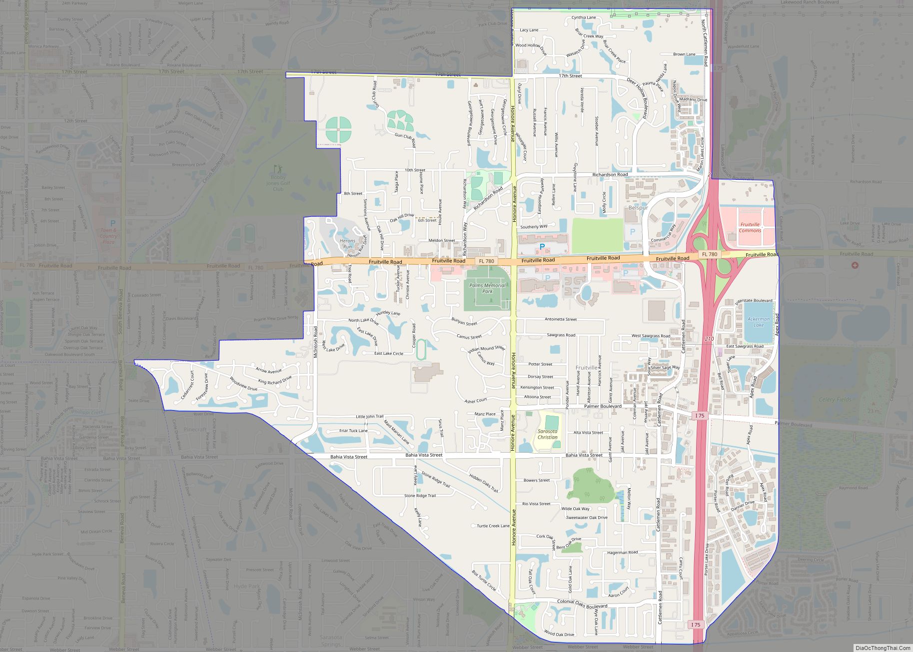
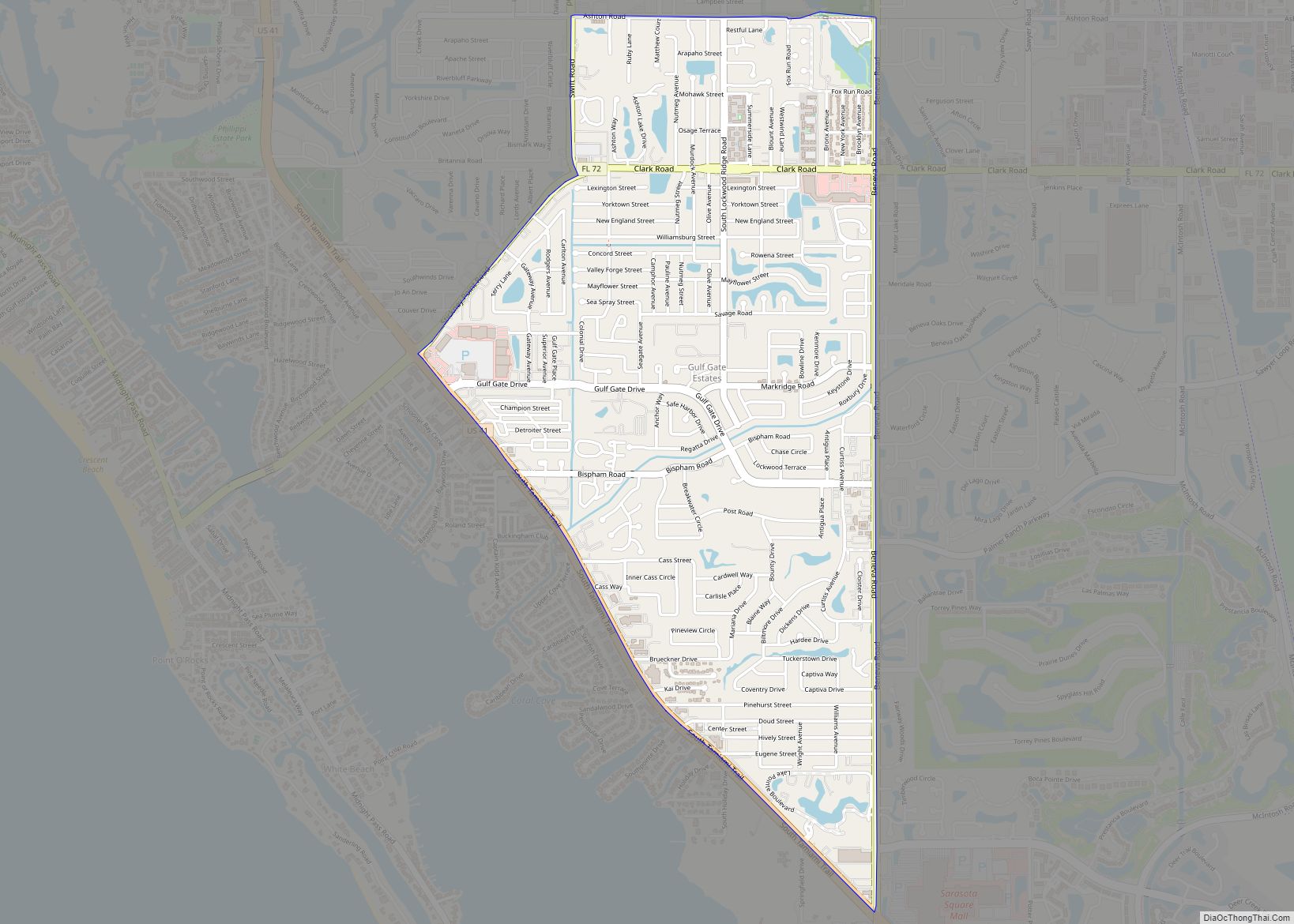
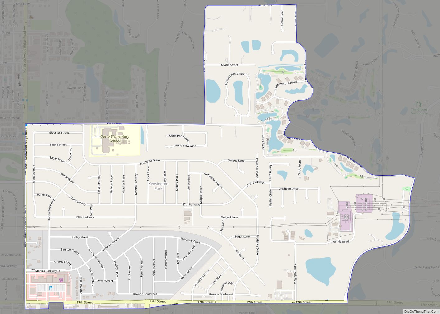
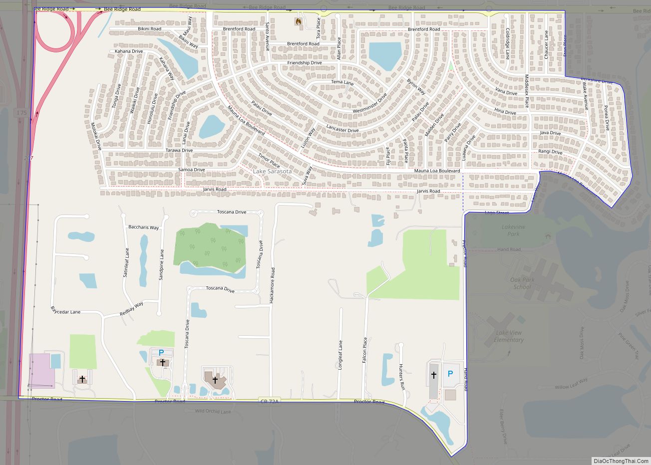
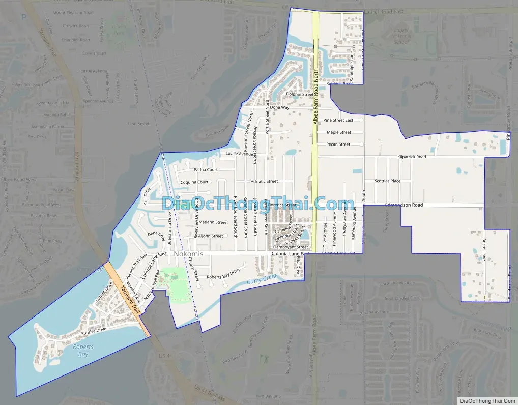
Online Interactive Map
Click on ![]() to view map in "full screen" mode.
to view map in "full screen" mode.
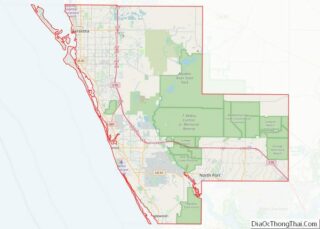
Nokomis location map. Where is Nokomis CDP?
History
In 1917, Alfred F. Wrede established the first post office with the name of Nokomis southwest of the original Venice post office. The same year, orthopedic surgeon Dr. Fred Albee purchased 112 acres from the Sarasota-Venice Company. With Ellis W. Nash, Albee created the Nokomis subdivision by subdividing the property into 130 lots, with streets radiating from two inner avenue circles and the new asphalt highway, which eventually became U.S. 41. On U.S. 41, Albee and investors built the Pollyanna Inn, a 35-room hotel.
The Florida guide, compiled in the late 1930s and first published in 1939, listed Nokomis’s population as 79 and described it as “a suburb of Venice, […] separated from that town by Shackett Creek…”
Nokomis Road Map
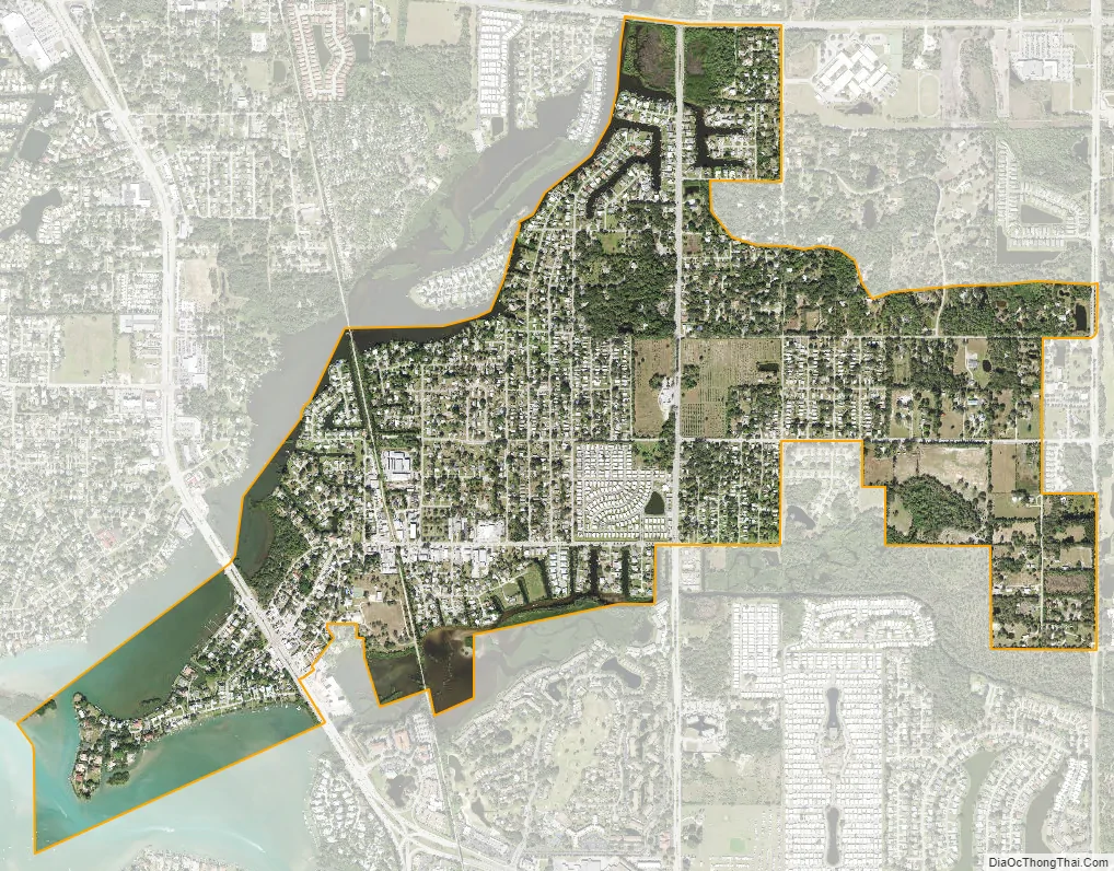
Nokomis city Satellite Map
Geography
According to the United States Census Bureau, the Nokomis Census Designated Place (CDP) has a total area of 1.9 square miles (5.0 km), of which 1.6 square miles (4.2 km) is land and 0.31 square miles (0.8 km), or 15.65%, is water.
Nokomis includes approximately 2.5 miles of the Legacy Trail, including a water crossing at the Shakett Creek (Dona Bay) bridge.
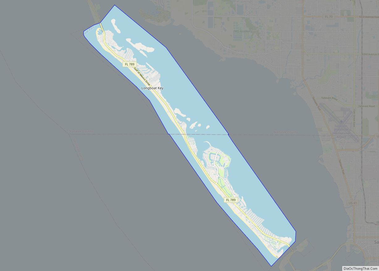
Casey Key is a barrier island to the northwest of the CDP along the Gulf of Mexico, where there are luxurious beachfront houses lining the key. Casey Key is not part of any CDP.
See also
Map of Florida State and its subdivision:- Alachua
- Baker
- Bay
- Bradford
- Brevard
- Broward
- Calhoun
- Charlotte
- Citrus
- Clay
- Collier
- Columbia
- Desoto
- Dixie
- Duval
- Escambia
- Flagler
- Franklin
- Gadsden
- Gilchrist
- Glades
- Gulf
- Hamilton
- Hardee
- Hendry
- Hernando
- Highlands
- Hillsborough
- Holmes
- Indian River
- Jackson
- Jefferson
- Lafayette
- Lake
- Lee
- Leon
- Levy
- Liberty
- Madison
- Manatee
- Marion
- Martin
- Miami-Dade
- Monroe
- Nassau
- Okaloosa
- Okeechobee
- Orange
- Osceola
- Palm Beach
- Pasco
- Pinellas
- Polk
- Putnam
- Saint Johns
- Saint Lucie
- Santa Rosa
- Sarasota
- Seminole
- Sumter
- Suwannee
- Taylor
- Union
- Volusia
- Wakulla
- Walton
- Washington
- Alabama
- Alaska
- Arizona
- Arkansas
- California
- Colorado
- Connecticut
- Delaware
- District of Columbia
- Florida
- Georgia
- Hawaii
- Idaho
- Illinois
- Indiana
- Iowa
- Kansas
- Kentucky
- Louisiana
- Maine
- Maryland
- Massachusetts
- Michigan
- Minnesota
- Mississippi
- Missouri
- Montana
- Nebraska
- Nevada
- New Hampshire
- New Jersey
- New Mexico
- New York
- North Carolina
- North Dakota
- Ohio
- Oklahoma
- Oregon
- Pennsylvania
- Rhode Island
- South Carolina
- South Dakota
- Tennessee
- Texas
- Utah
- Vermont
- Virginia
- Washington
- West Virginia
- Wisconsin
- Wyoming