Ojus is a census-designated place and formerly incorporated town in Miami-Dade County, Florida, United States. The population was 19,673 at the 2020 census, up from 18,036 in 2010.
| Name: | Ojus CDP |
|---|---|
| LSAD Code: | 57 |
| LSAD Description: | CDP (suffix) |
| State: | Florida |
| County: | Miami-Dade County |
| Elevation: | 10 ft (3 m) |
| Total Area: | 3.16 sq mi (8.18 km²) |
| Land Area: | 2.65 sq mi (6.86 km²) |
| Water Area: | 0.51 sq mi (1.32 km²) |
| Total Population: | 19,673 |
| Population Density: | 7,426.58/sq mi (2,867.48/km²) |
| ZIP code: | 33163 (Ojus) 33160 (North Miami Beach) 33179 (Miami) 33180 (Miami) |
| Area code: | 305 |
| FIPS code: | 1251125 |
| GNISfeature ID: | 0288066 |
Online Interactive Map
Click on ![]() to view map in "full screen" mode.
to view map in "full screen" mode.
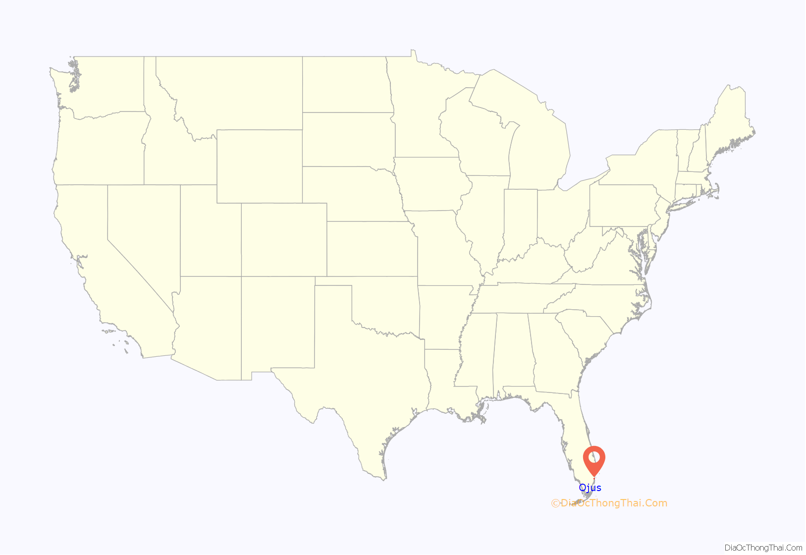
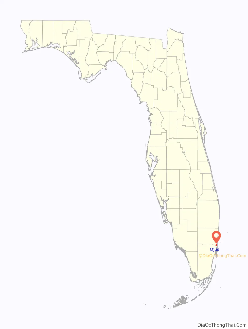
Ojus location map. Where is Ojus CDP?
History
People have been living in the Ojus area for thousands of years. Paleo-Indians have been documented in south Florida dating back to over 13,000 years ago. Archaeologists have uncovered ancient sites at Arch Creek and along the Oleta River. According to archaeologist Robert Carr, although the largest Tequesta settlement was located at the mouth of the Miami River, by 750 BCE approximately 100 Native Americans routinely inhabited the local area which was just a one-hour canoe trip north of the main settlement. The Oleta River, which cuts through Ojus, was one of the Tequesta’s primary “roadways” for millennia. Subsequent people, to include Seminoles, European explorers, and early settlers, would also use the Oleta River to traverse from Miami to the New River in Ft. Lauderdale.
During the late nineteenth century, settlers established farms along the Oleta River. These settlers grew peas, beans, sugar cane, and tomatoes. Seminoles set up a trading post near present-day Greynolds Park to conduct business with the Ojus settlers. In 1897, Albert Fitch named the area “Ojus” after the Seminole word for “plenty” or “lots of”. After the turn of the century, rock was discovered in the area that was ideal for road building. Many of the neighborhood lakes were created during the early part of the twentieth century to support the construction of the area’s infrastructure.
State representative Graham W. King lived in Ojus.
Two landmarks were created in the early part of the twentieth century, but only one survives. In 1925, Carl Fischer constructed the Fulford–Miami Speedway in the present-day Sky Lake neighborhood. The wooden race track was then billed as the world’s fastest. It was unfortunately destroyed by the devastating 1926 hurricane. One of the region’s most notable features, Greynolds Park, was established in 1936 as part of President Franklin Roosevelt’s Civilian Conservation Corps (CCC) “New Deal” programs. The park was named after Mr. A.O. Greynolds, owner of the Ojus Rock Company, who donated 110 acres (45 ha) of his property in exchange for naming the park after him. Over the years, the park has expanded to include a golf course and a boathouse, and even hosted popular musical acts during the 1960s such as the Grateful Dead. Greynolds Park was declared a historic site in 1983.
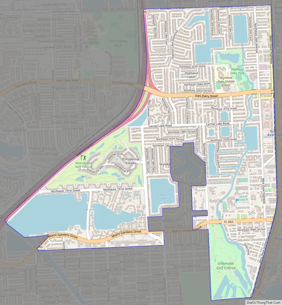
Ojus Road Map
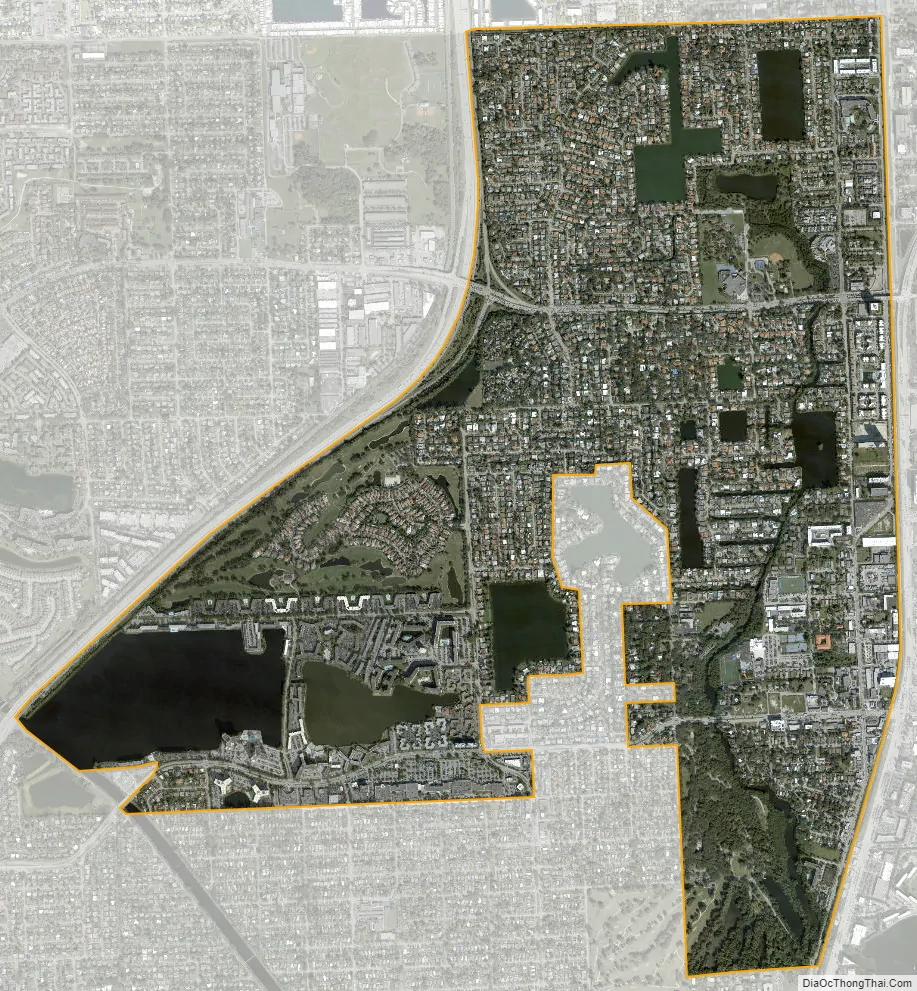
Ojus city Satellite Map
Geography
Ojus is located in northeastern Miami-Dade County at 25°57′24″N 80°9′29″W / 25.95667°N 80.15806°W / 25.95667; -80.15806 (25.956720, -80.157917), 15 miles (24 km) north-northeast of downtown Miami. Its northern boundary is the Broward County line. Ojus is bordered in Miami-Dade County by Aventura to the east, North Miami Beach to the south, and Ives Estates to the west, while neighboring Broward County communities are Pembroke Park to the northwest and Hallandale Beach to the north.
Interstate 95 forms the western border of the community and provides access via Exit 16 (Ives Dairy Road). U.S. Route 1 (Biscayne Boulevard) runs parallel to the eastern border, just inside the Aventura city limits.
According to the United States Census Bureau, the Ojus CDP has a total area of 3.16 square miles (8.2 km), of which 2.65 square miles (6.9 km) are land and 0.51 square miles (1.3 km), or 16.14%, are water. The Oleta River drains the east side of the community. Elevation ranges from 0 to 12 feet (0.0 to 3.7 m) above sea level.
It is in the Eastern Standard Time Zone.
Surrounding areas
See also
Map of Florida State and its subdivision:- Alachua
- Baker
- Bay
- Bradford
- Brevard
- Broward
- Calhoun
- Charlotte
- Citrus
- Clay
- Collier
- Columbia
- Desoto
- Dixie
- Duval
- Escambia
- Flagler
- Franklin
- Gadsden
- Gilchrist
- Glades
- Gulf
- Hamilton
- Hardee
- Hendry
- Hernando
- Highlands
- Hillsborough
- Holmes
- Indian River
- Jackson
- Jefferson
- Lafayette
- Lake
- Lee
- Leon
- Levy
- Liberty
- Madison
- Manatee
- Marion
- Martin
- Miami-Dade
- Monroe
- Nassau
- Okaloosa
- Okeechobee
- Orange
- Osceola
- Palm Beach
- Pasco
- Pinellas
- Polk
- Putnam
- Saint Johns
- Saint Lucie
- Santa Rosa
- Sarasota
- Seminole
- Sumter
- Suwannee
- Taylor
- Union
- Volusia
- Wakulla
- Walton
- Washington
- Alabama
- Alaska
- Arizona
- Arkansas
- California
- Colorado
- Connecticut
- Delaware
- District of Columbia
- Florida
- Georgia
- Hawaii
- Idaho
- Illinois
- Indiana
- Iowa
- Kansas
- Kentucky
- Louisiana
- Maine
- Maryland
- Massachusetts
- Michigan
- Minnesota
- Mississippi
- Missouri
- Montana
- Nebraska
- Nevada
- New Hampshire
- New Jersey
- New Mexico
- New York
- North Carolina
- North Dakota
- Ohio
- Oklahoma
- Oregon
- Pennsylvania
- Rhode Island
- South Carolina
- South Dakota
- Tennessee
- Texas
- Utah
- Vermont
- Virginia
- Washington
- West Virginia
- Wisconsin
- Wyoming


