Palm City is an unincorporated area and census-designated place (CDP) in Martin County, Florida, United States. The population was 25,883 at the 2020 census. It is part of the Port St. Lucie Metropolitan Statistical Area.
| Name: | Palm City CDP |
|---|---|
| LSAD Code: | 57 |
| LSAD Description: | CDP (suffix) |
| State: | Florida |
| County: | Martin County |
| Elevation: | 7 ft (2 m) |
| Total Area: | 16.38 sq mi (42.43 km²) |
| Land Area: | 13.86 sq mi (35.90 km²) |
| Water Area: | 2.52 sq mi (6.53 km²) |
| Total Population: | 25,883 |
| Population Density: | 1,867.46/sq mi (721.02/km²) |
| ZIP code: | 34990-34991 |
| Area code: | 772 |
| FIPS code: | 1254175 |
| GNISfeature ID: | 0288396 |
Online Interactive Map
Click on ![]() to view map in "full screen" mode.
to view map in "full screen" mode.
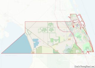
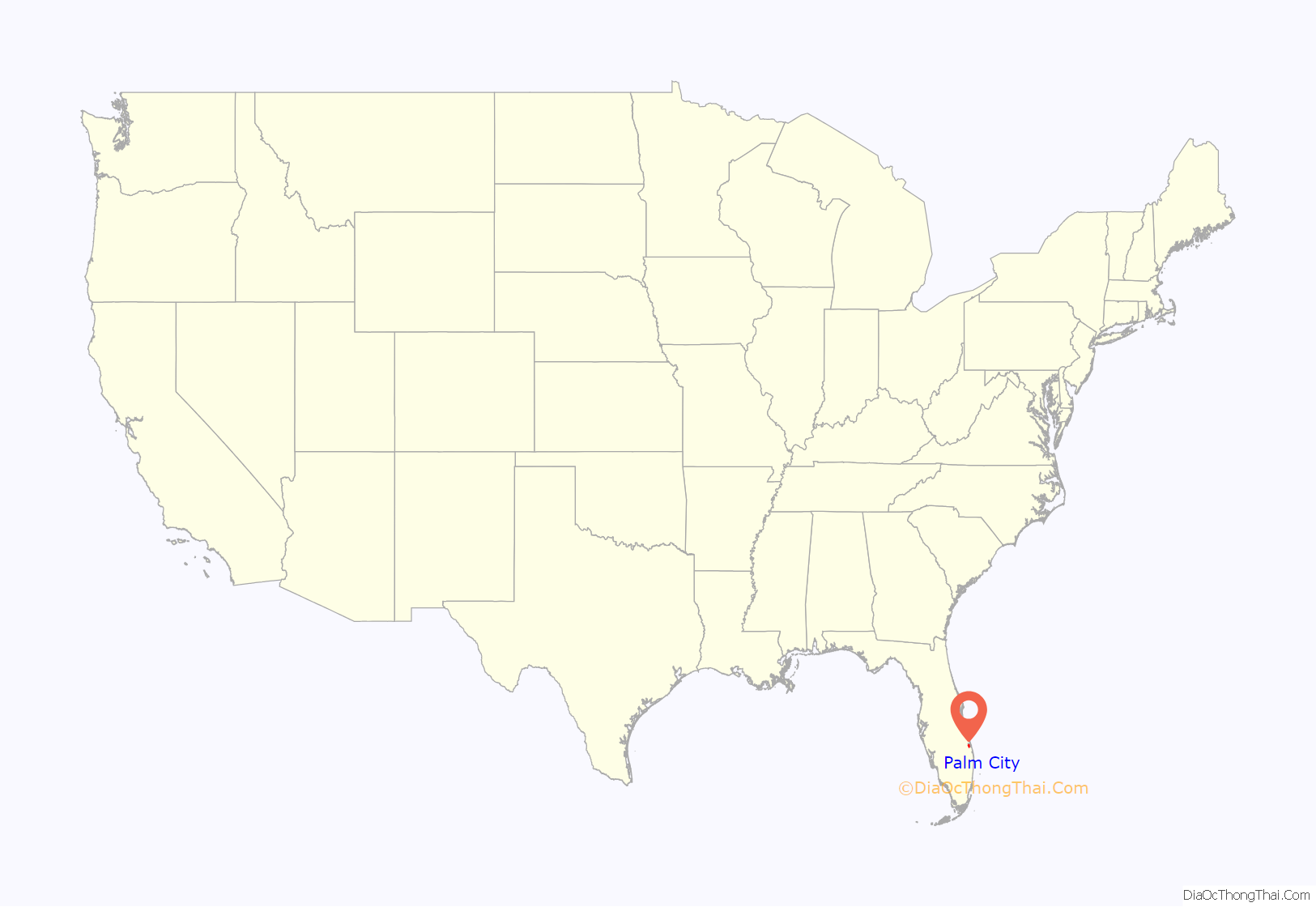
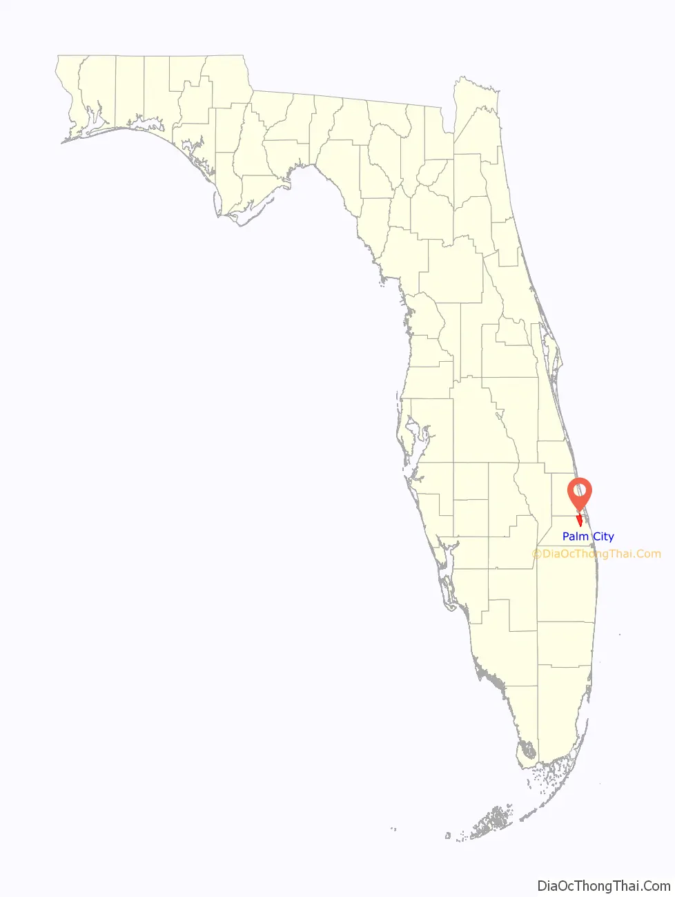
Palm City location map. Where is Palm City CDP?
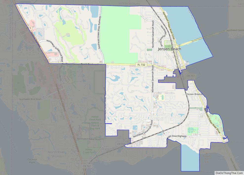
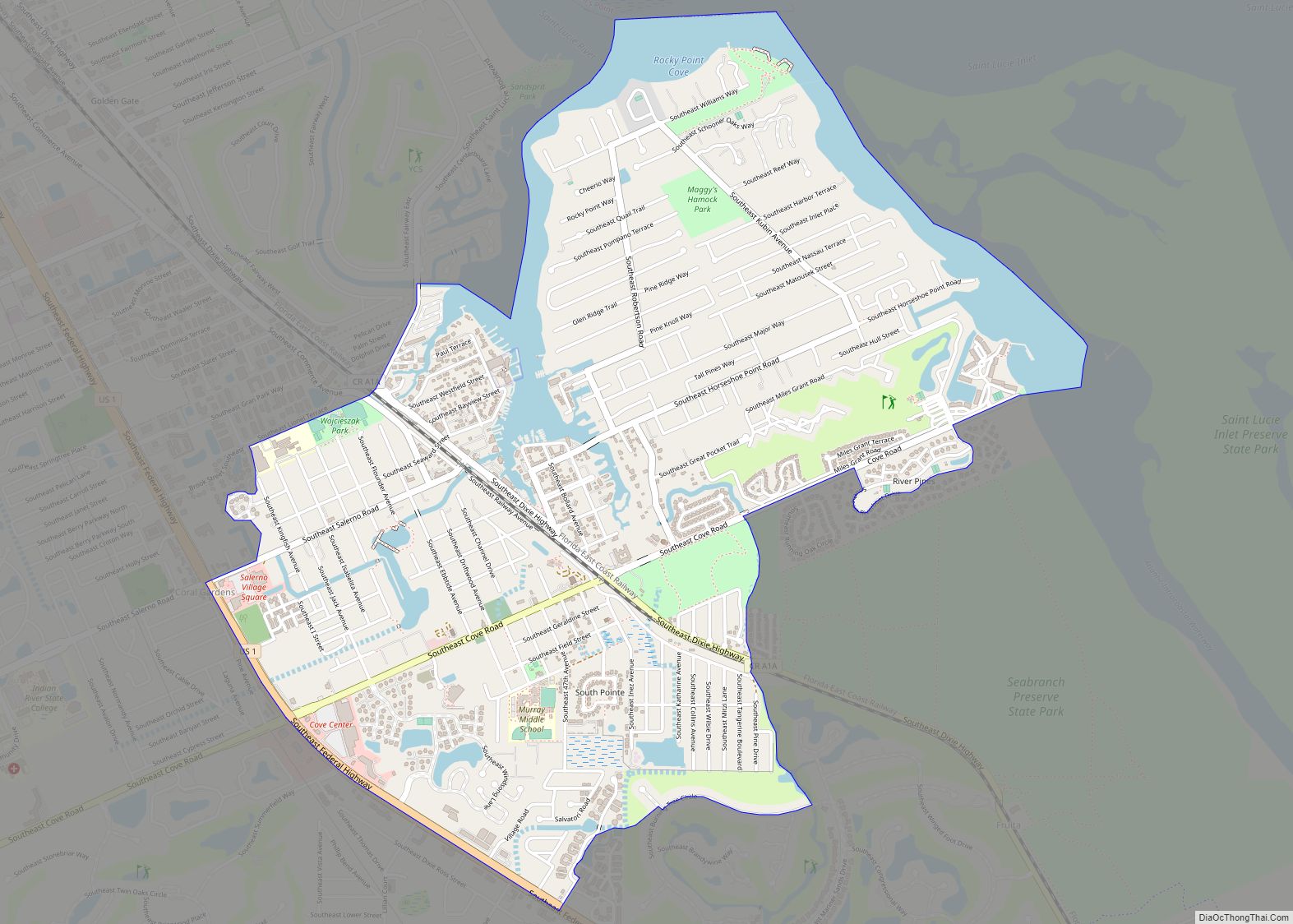
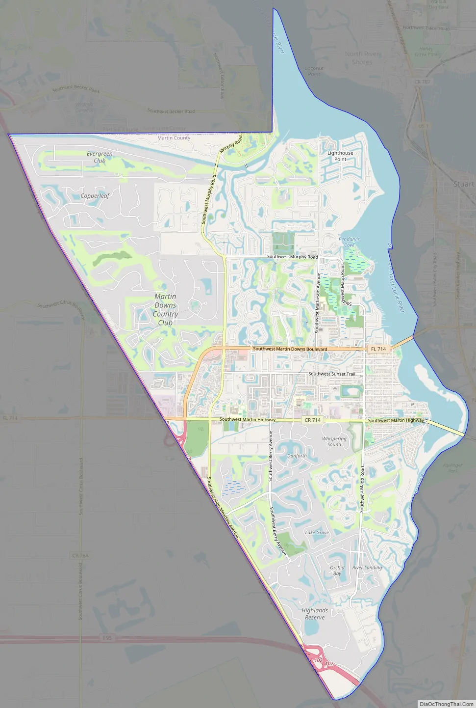
Palm City Road Map
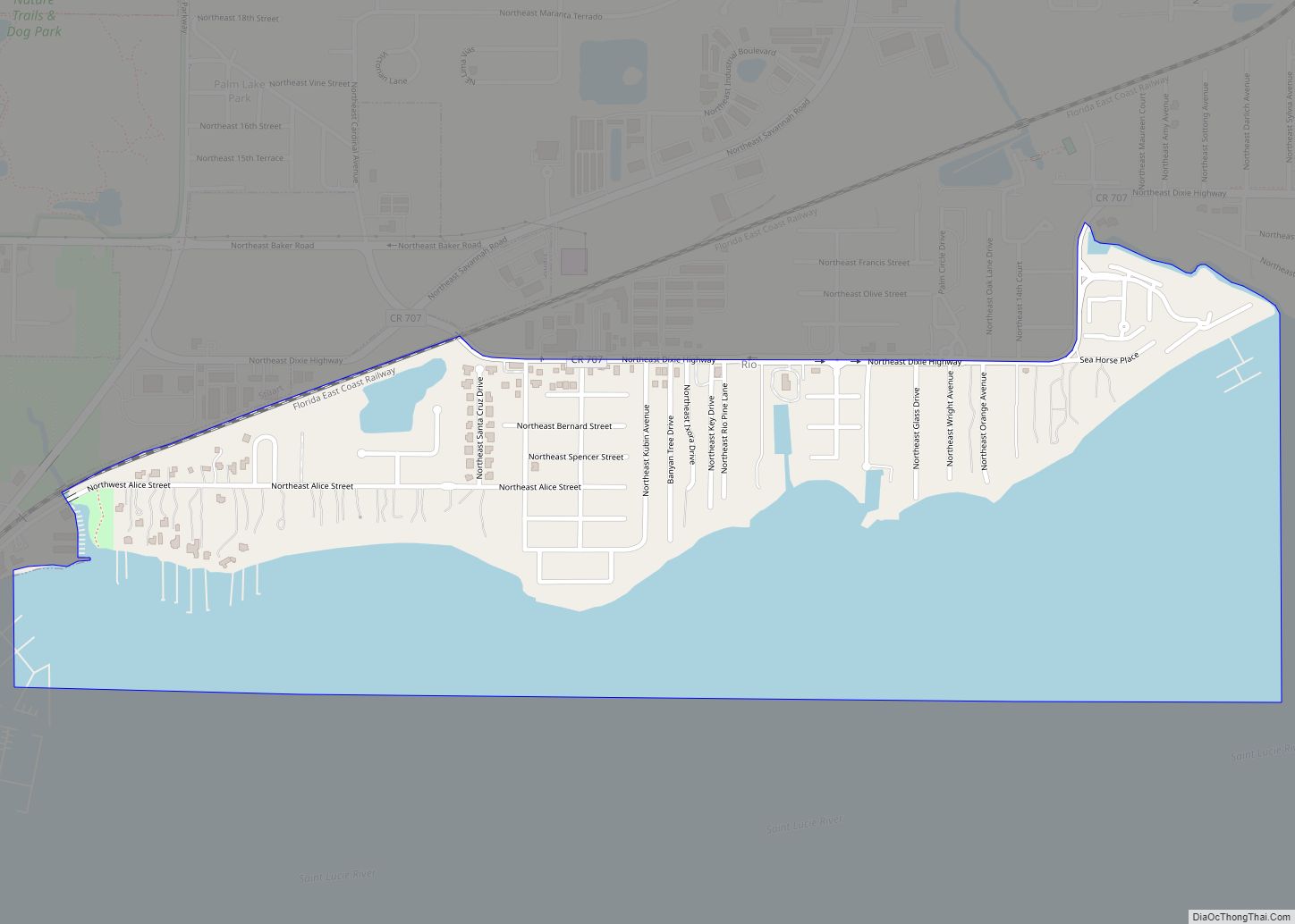
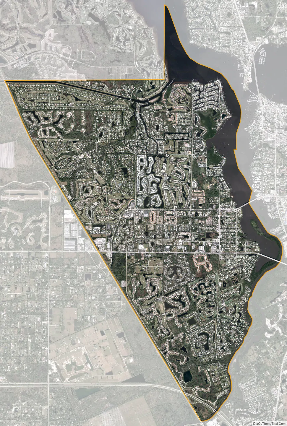
Palm City city Satellite Map
Geography
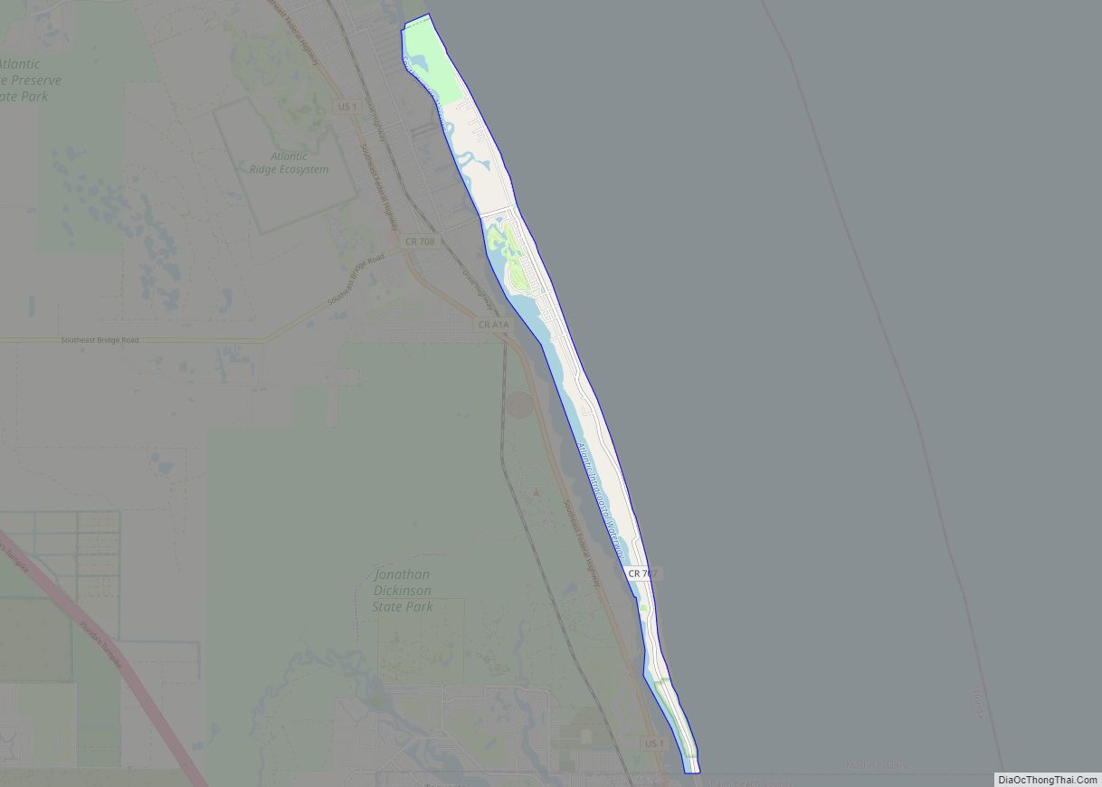
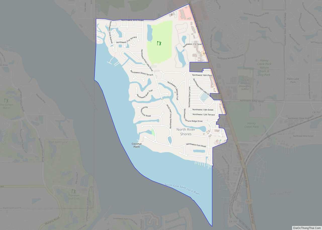
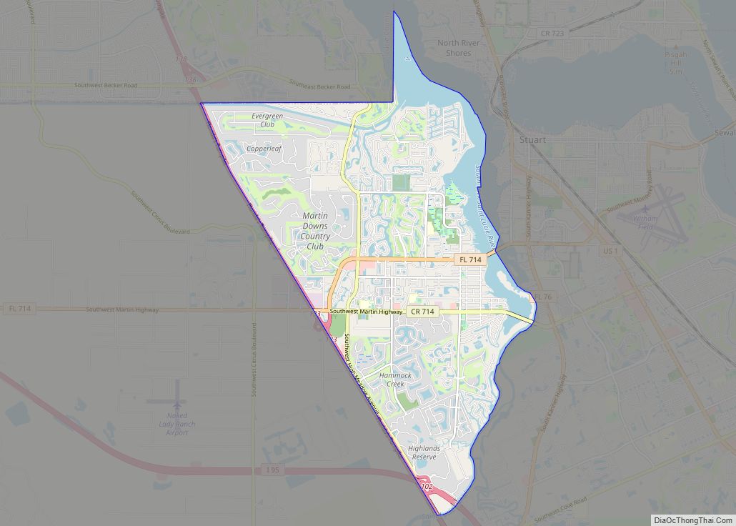
Palm City is in northeast Martin County and it bordered by North River Shores to the northeast, Stuart, the county seat, to the east, the South Fork of the St. Lucie River to the southeast, Florida’s Turnpike to the west and Port St. Lucie in St. Lucie County to the north. According to the United States Census Bureau, the Palm City CDP has a total area of 16.4 square miles (42 km), of which 13.9 square miles (36 km) are land and 2.5 square miles (6.5 km), or 15.39%, are water. Palm City is located 100 miles (160 km) north of Miami.
Neighborhoods
- Bay Pointe
- Canoe Creek
- Carmel
- Charter Club
- Cobblestone Country Club
- Copperleaf
- Canopy Creek
- Crane Creek
- Cypress Lake
- Danforth
- Evergreen Golf Club
- Four Rivers
- Fox Run
- Grenada
- Hammock Creek Estates
- Hammock Creek Preserve
- Hammock Creek Sanctuary
- Harbour Pointe
- Harbour Ridge
- Hidden Bay
- Highlands Reserve
- Hunters Creek
- Islesworth
- Lake Grove
- Lake Village, formerly The Crossings
- La Mariposa
- Lighthouse Point
- Martin Downs Country Club
- Monarch Country Club
- Murano
- Naked Lady Ranch Airport
- Oakbrooke Estates
- Oak Ridge
- Old Palm City
- Orchid Bay
- Palm City Farms
- Palm Cove Golf & Yacht Club
- Palm Isles
- Palm Pointe
- Parkside
- Pelican Cove
- Pine Ridge
- Pipers Landing
- River Landing
- Riverbend
- Rustic Hills
- Seagate Harbor
- Sawgrass Villas
- St. Lucie Shores
- Stratford Downs
- Stuart West
- Sunset Trace
- The Meadows
- Tiburon
- Westwood County Estates
- Whispering Sound
- Windstone
- Woodside
See also
Map of Florida State and its subdivision:- Alachua
- Baker
- Bay
- Bradford
- Brevard
- Broward
- Calhoun
- Charlotte
- Citrus
- Clay
- Collier
- Columbia
- Desoto
- Dixie
- Duval
- Escambia
- Flagler
- Franklin
- Gadsden
- Gilchrist
- Glades
- Gulf
- Hamilton
- Hardee
- Hendry
- Hernando
- Highlands
- Hillsborough
- Holmes
- Indian River
- Jackson
- Jefferson
- Lafayette
- Lake
- Lee
- Leon
- Levy
- Liberty
- Madison
- Manatee
- Marion
- Martin
- Miami-Dade
- Monroe
- Nassau
- Okaloosa
- Okeechobee
- Orange
- Osceola
- Palm Beach
- Pasco
- Pinellas
- Polk
- Putnam
- Saint Johns
- Saint Lucie
- Santa Rosa
- Sarasota
- Seminole
- Sumter
- Suwannee
- Taylor
- Union
- Volusia
- Wakulla
- Walton
- Washington
- Alabama
- Alaska
- Arizona
- Arkansas
- California
- Colorado
- Connecticut
- Delaware
- District of Columbia
- Florida
- Georgia
- Hawaii
- Idaho
- Illinois
- Indiana
- Iowa
- Kansas
- Kentucky
- Louisiana
- Maine
- Maryland
- Massachusetts
- Michigan
- Minnesota
- Mississippi
- Missouri
- Montana
- Nebraska
- Nevada
- New Hampshire
- New Jersey
- New Mexico
- New York
- North Carolina
- North Dakota
- Ohio
- Oklahoma
- Oregon
- Pennsylvania
- Rhode Island
- South Carolina
- South Dakota
- Tennessee
- Texas
- Utah
- Vermont
- Virginia
- Washington
- West Virginia
- Wisconsin
- Wyoming