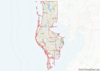
Palm Harbor is a census-designated place and unincorporated community in Pinellas County, Florida, United States. As of the 2016 American Community Survey, the CDP had a population of 60,236.
| Name: | Palm Harbor CDP |
|---|---|
| LSAD Code: | 57 |
| LSAD Description: | CDP (suffix) |
| State: | Florida |
| County: | Pinellas County |
| Elevation: | 49 ft (15 m) |
| Total Area: | 28.10 sq mi (72.79 km²) |
| Land Area: | 17.36 sq mi (44.96 km²) |
| Water Area: | 10.74 sq mi (27.83 km²) |
| Total Population: | 61,366 |
| Population Density: | 3,535.11/sq mi (1,364.90/km²) |
| ZIP code: | 34682-34685 |
| Area code: | 727 |
| FIPS code: | 1254350 |
| GNISfeature ID: | 0288399 |
Online Interactive Map
Click on ![]() to view map in "full screen" mode.
to view map in "full screen" mode.
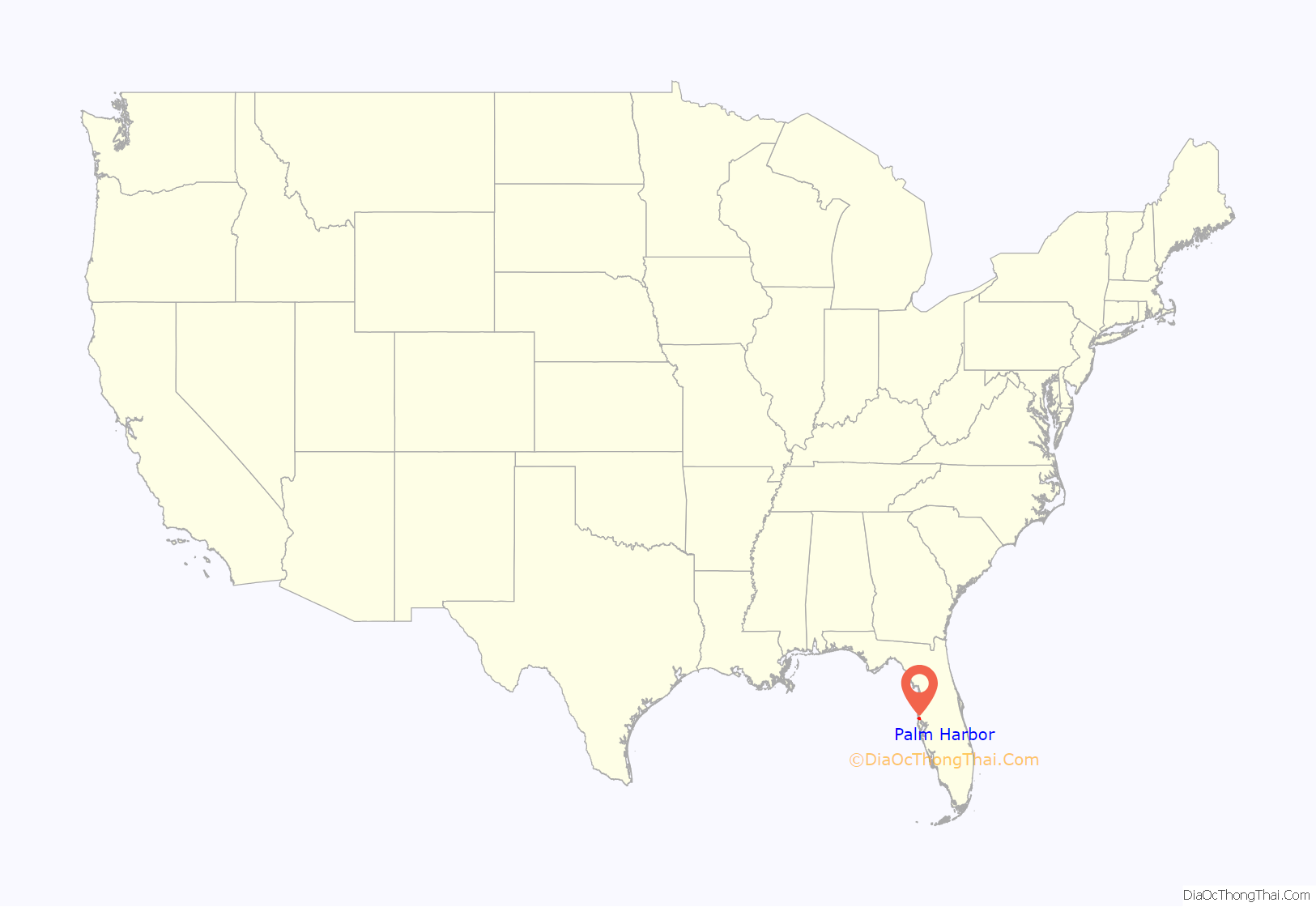
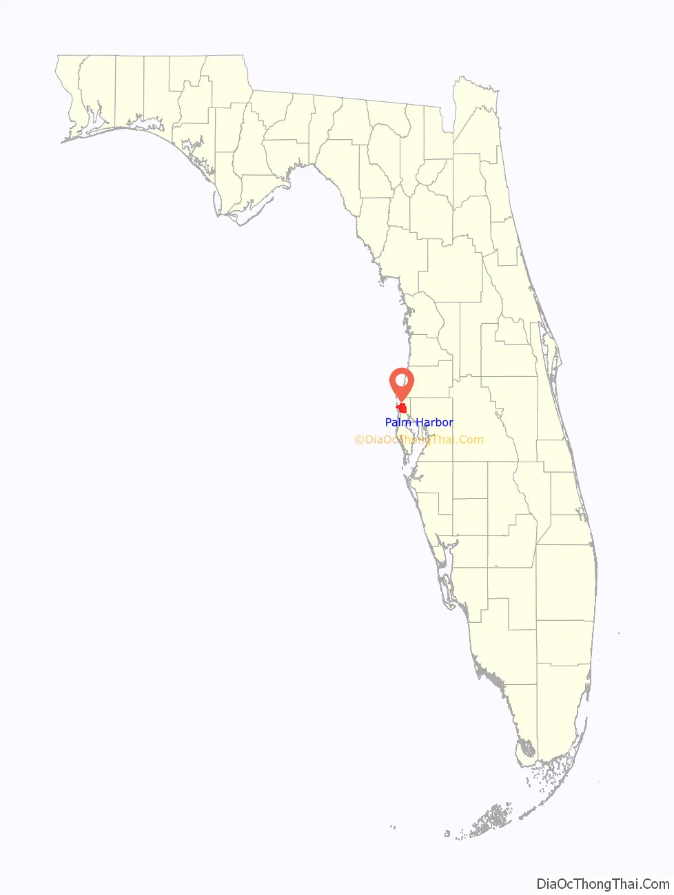
Palm Harbor location map. Where is Palm Harbor CDP?
History
The area that is now Palm Harbor was largely uninhabited until settlers began arriving in the 1860s. The area became known as “Curlew”, with the Curlew Pioneer Cemetery, established in 1869, and the Curlew Methodist Church. A post office named “Bay St. Joseph” opened in 1878. In 1881, Henry B. Plant opened the San Marino Hotel in what later became Palm Harbor in 1885. The Gulf View Hotel also opened around that time. The Sutherland Improvement Company acquired land in the Curlew/Bay St. Joseph area and developed it into the settlement of Sutherland. In 1888 the Sutherland Post Office opened. The Orange Belt Railway reached Sutherland in 1890.
The name was changed to Palm Harbor in 1925. Sutherland boasted two beautiful hotels, the larger one becoming Southern College in 1902. It sat high on the bluff overlooking Sutherland Bayou and the Gulf of Mexico. Sutherland was thought to be named after the Duke of Sutherland, who visited these parts after landing at Tarpon Springs in 1887. Local pioneers dismiss this coincidence, pointing out that the name Sutherland is a shortening of Southern Land and Development Company, the group which originally platted the community in 1888.
Palm Harbor was once home to the Florida State Headquarters of the Ku Klux Klan when Donald Kersey, who was not a member of the Klan, allowed the organization to use his 13 acre property just north of Tampa Road on US-19 beginning in 1977. Kersey allowed the KKK to use his land when a portion of it was rezoned from commercial to residential which cost him a substantial amount of money. The KKK told Kersey that they needed to go underground to not gain any attention from authorities but that his land would be a great place to try to recruit people into the organization. Kersey stated that he told the zoning commission that he would make them pay for their zoning decisions which ended up bringing the Klan to the small unincorporated town. The land was sold in 2006 with a large strip mall built on it with a subdivision behind that structure. While Kersey got his revenge on the zoning committee with his actions, the locals did resist since the building was burned down on four occasions and the Palm Harbor Chamber of Commerce passed a resolution condemning the group and the actions of Mr. Kersey. Once his actions were known to locals, his house was set ablaze when someone tried to burn the KKK buildings down on the property. Although the land was sold in 2006, the KKK activity began to wane in the 1990s according to several locals who lived in the town during that time. No remnants of this exist in the present day town and many locals wish to keep it that way.
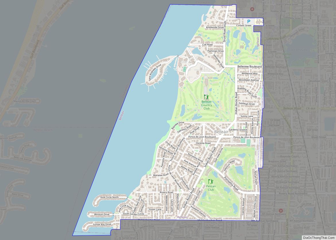
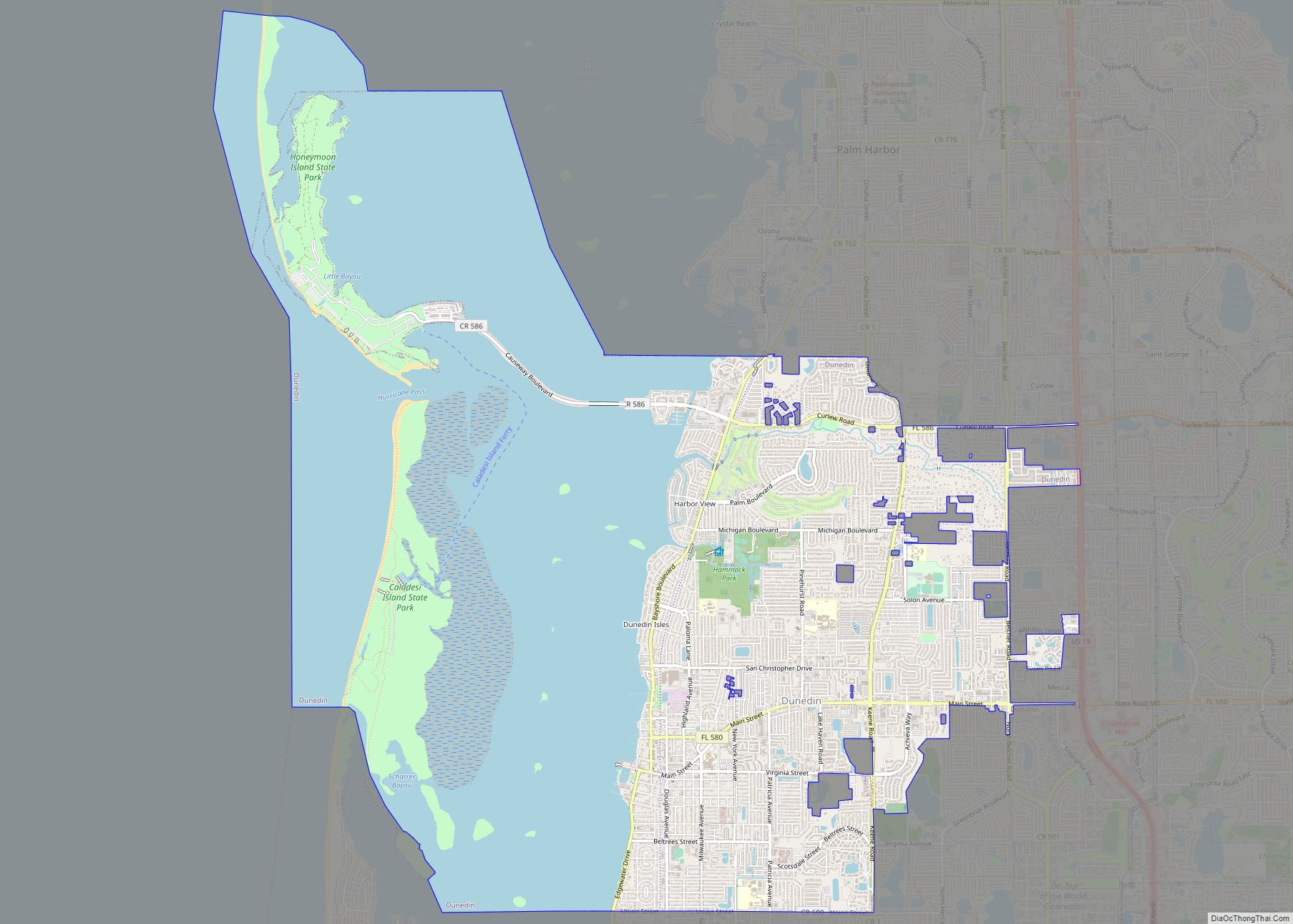
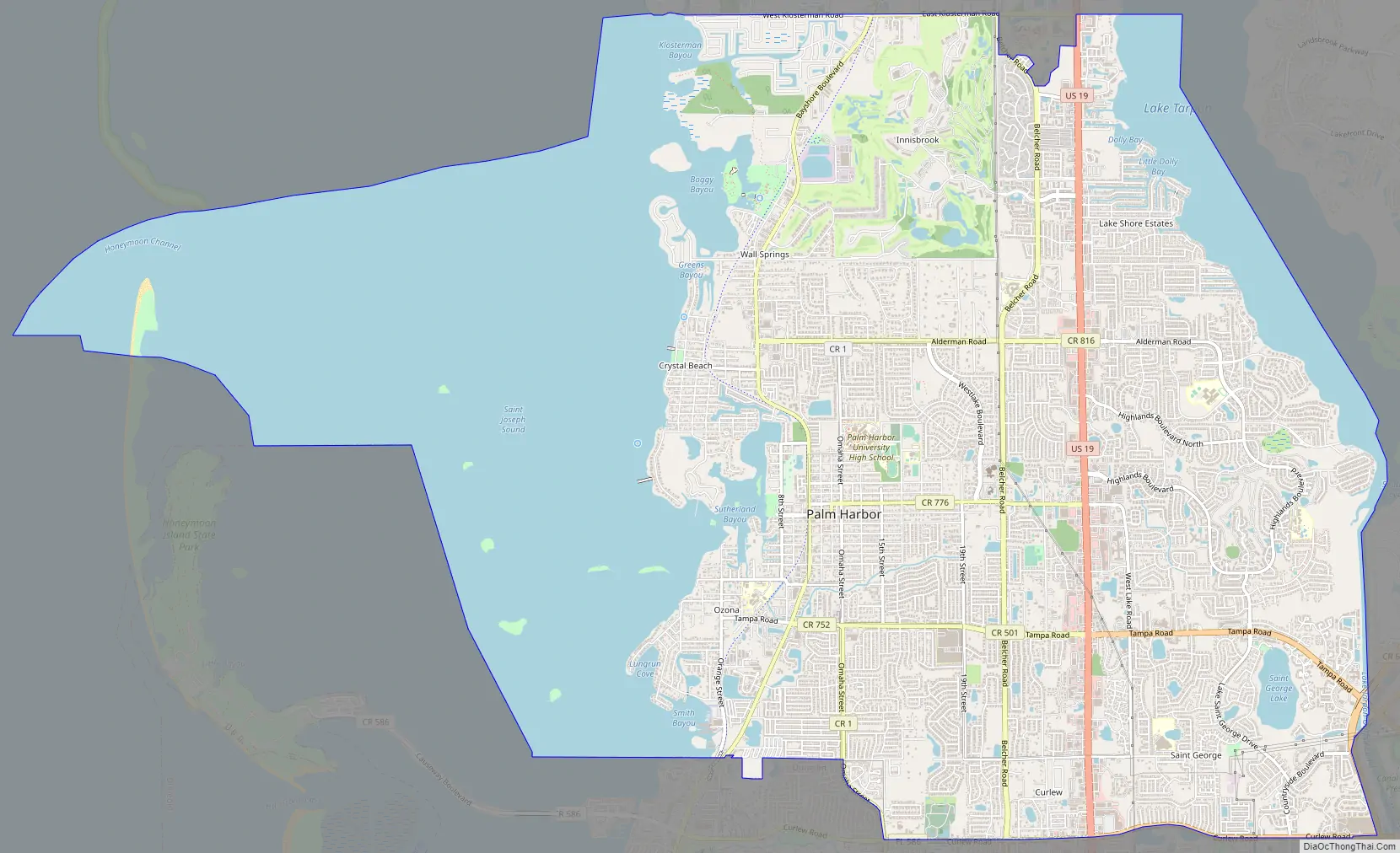
Palm Harbor Road Map
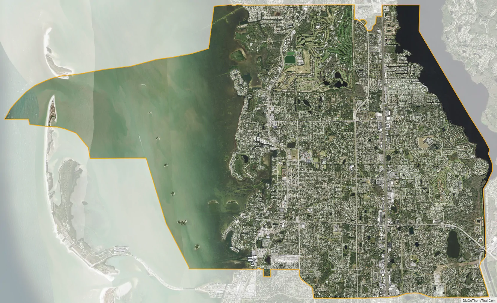
Palm Harbor city Satellite Map
Geography
Palm Harbor is located at 28°5′2″N 82°45′14″W / 28.08389°N 82.75389°W / 28.08389; -82.75389 (28.083926, -82.753947).
According to the United States Census Bureau, the CDP has a total area of 26.6 square miles (68.9 km), of which 17.4 square miles (45.0 km) is land, and 9.2 square miles (23.9 km) (34.67%) is water.
Palm Harbor has a unique “hilly” geography which is uncommon in Florida.
See also
Map of Florida State and its subdivision:- Alachua
- Baker
- Bay
- Bradford
- Brevard
- Broward
- Calhoun
- Charlotte
- Citrus
- Clay
- Collier
- Columbia
- Desoto
- Dixie
- Duval
- Escambia
- Flagler
- Franklin
- Gadsden
- Gilchrist
- Glades
- Gulf
- Hamilton
- Hardee
- Hendry
- Hernando
- Highlands
- Hillsborough
- Holmes
- Indian River
- Jackson
- Jefferson
- Lafayette
- Lake
- Lee
- Leon
- Levy
- Liberty
- Madison
- Manatee
- Marion
- Martin
- Miami-Dade
- Monroe
- Nassau
- Okaloosa
- Okeechobee
- Orange
- Osceola
- Palm Beach
- Pasco
- Pinellas
- Polk
- Putnam
- Saint Johns
- Saint Lucie
- Santa Rosa
- Sarasota
- Seminole
- Sumter
- Suwannee
- Taylor
- Union
- Volusia
- Wakulla
- Walton
- Washington
- Alabama
- Alaska
- Arizona
- Arkansas
- California
- Colorado
- Connecticut
- Delaware
- District of Columbia
- Florida
- Georgia
- Hawaii
- Idaho
- Illinois
- Indiana
- Iowa
- Kansas
- Kentucky
- Louisiana
- Maine
- Maryland
- Massachusetts
- Michigan
- Minnesota
- Mississippi
- Missouri
- Montana
- Nebraska
- Nevada
- New Hampshire
- New Jersey
- New Mexico
- New York
- North Carolina
- North Dakota
- Ohio
- Oklahoma
- Oregon
- Pennsylvania
- Rhode Island
- South Carolina
- South Dakota
- Tennessee
- Texas
- Utah
- Vermont
- Virginia
- Washington
- West Virginia
- Wisconsin
- Wyoming