Richmond West is a census-designated place (CDP) in Miami-Dade County, Florida, United States. The population was 35,884 at the 2020 census, up from 31,973 at the 2010 census.
| Name: | Richmond West CDP |
|---|---|
| LSAD Code: | 57 |
| LSAD Description: | CDP (suffix) |
| State: | Florida |
| County: | Miami-Dade County |
| Elevation: | 7 ft (2 m) |
| Total Area: | 4.28 sq mi (11.09 km²) |
| Land Area: | 4.17 sq mi (10.80 km²) |
| Water Area: | 0.11 sq mi (0.29 km²) |
| Total Population: | 35,884 |
| Population Density: | 8,601.15/sq mi (3,321.09/km²) |
| FIPS code: | 1260230 |
| GNISfeature ID: | 1853280 |
Online Interactive Map
Click on ![]() to view map in "full screen" mode.
to view map in "full screen" mode.
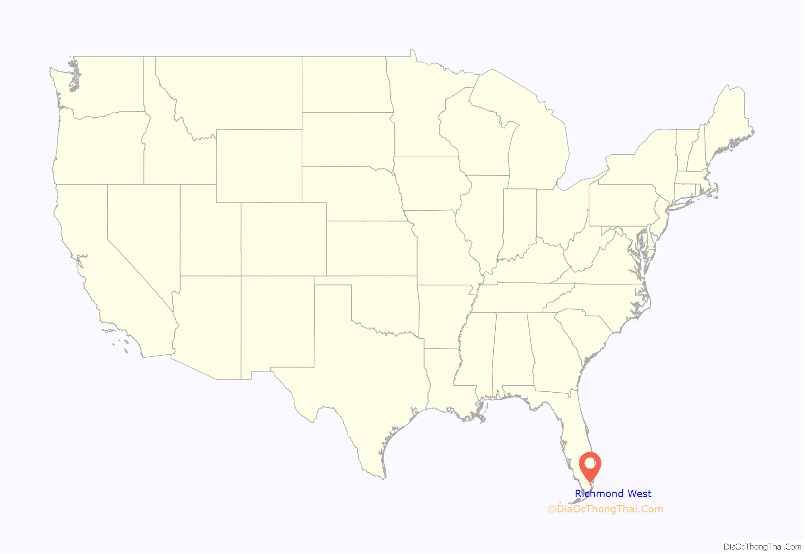
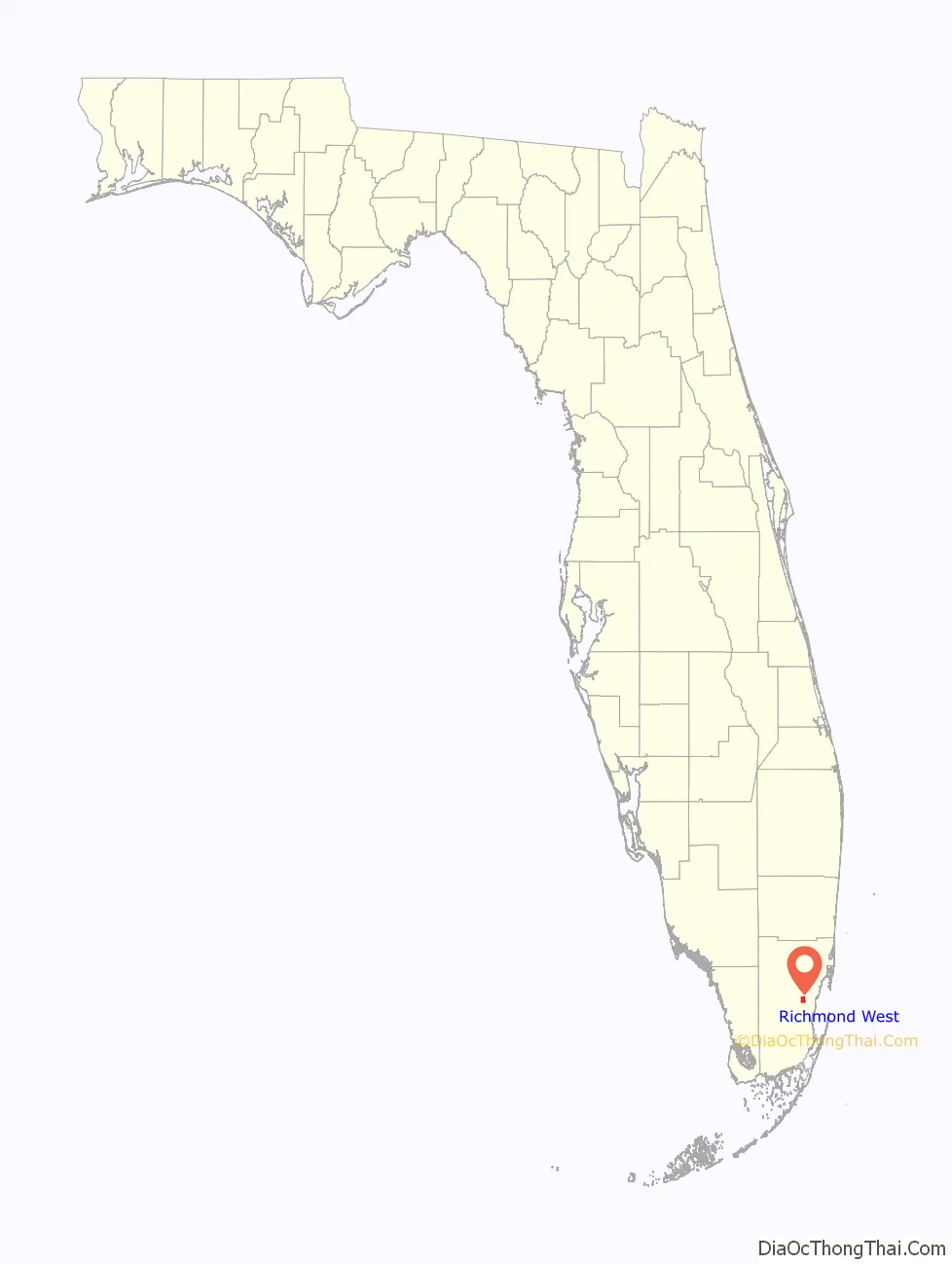
Richmond West location map. Where is Richmond West CDP?
History
Richmond West has its origins as an early 1900s settlement named Eureka. In 1907, the one-room Eureka Schoolhouse was built at the corner of S.W. 147th Avenue (Naranja Road) and S.W. 184th Street (Eureka Drive). It closed in 1916 when it and six other area one-room schoolhouses were consolidated into the Redland Farm Life School four miles to the south. In 1927, the Seaboard Air Line Railway arrived, building a depot in the settlement, by then known as Richmond. Although the depot has long since been demolished, the railroad line, now owned by Seaboard’s successor CSX, remains.
The 1945 Homestead hurricane caused an estimated $50,000,000-worth of damage, impacting the area. Nearly half of the financial loss happened at the neighboring Richmond Naval Air Station, where winds ignited a fire at three hangars, destroying 25 blimps, 366 planes and 150 automobiles.
The area remained mostly agricultural until the mid-1980s when several sub-developments and the Dadeland Mobile Home Park were built south of S.W. 152nd Street (Coral Reef Drive). In August 1992, Hurricane Andrew destroyed the mobile home park and devastated the surrounding area. Many of the homes and businesses in the area were completely destroyed. In subsequent years, the area was gradually rebuilt, and development proceeded southward to the community’s southern border at Eureka Drive.
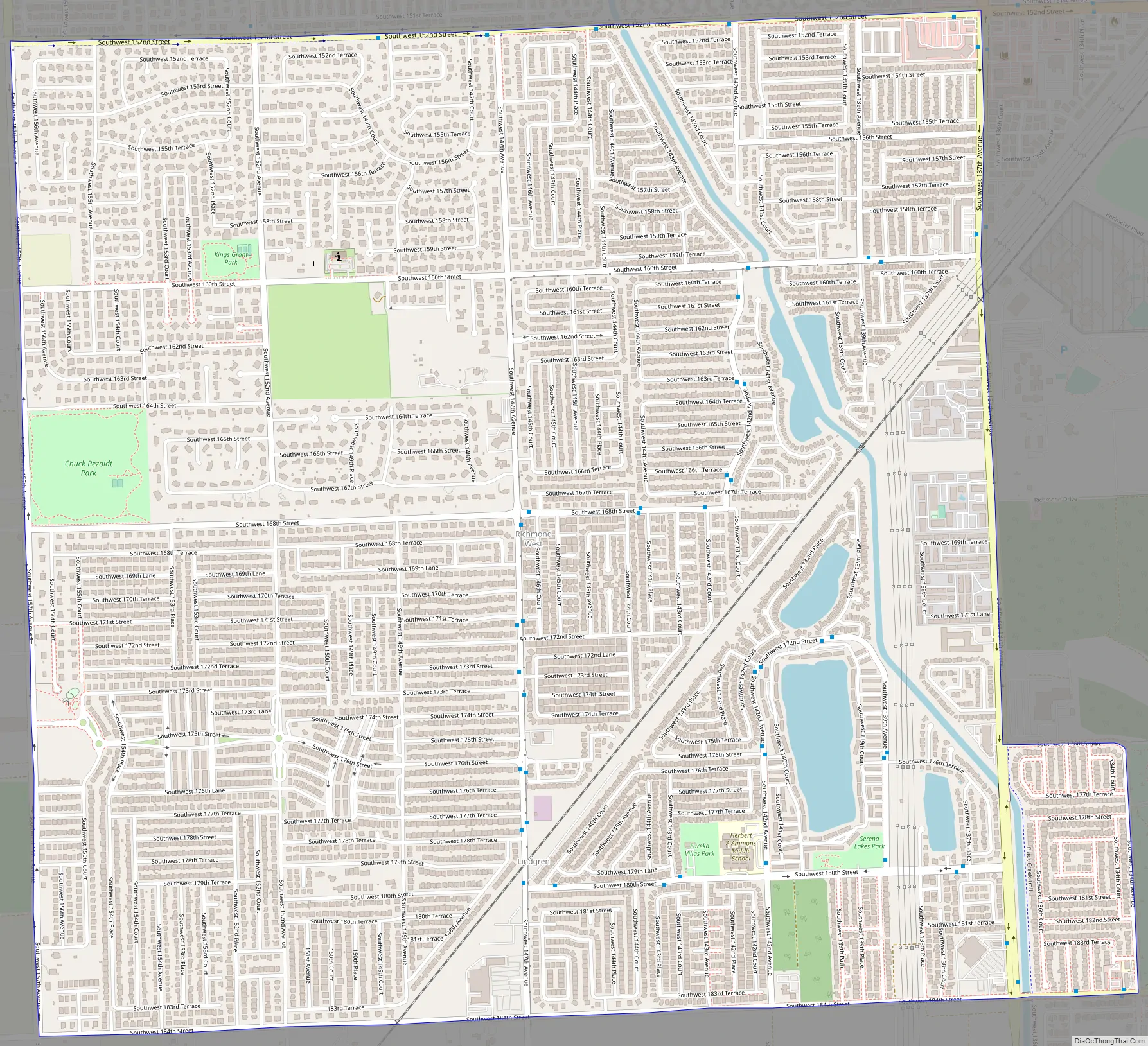
Richmond West Road Map
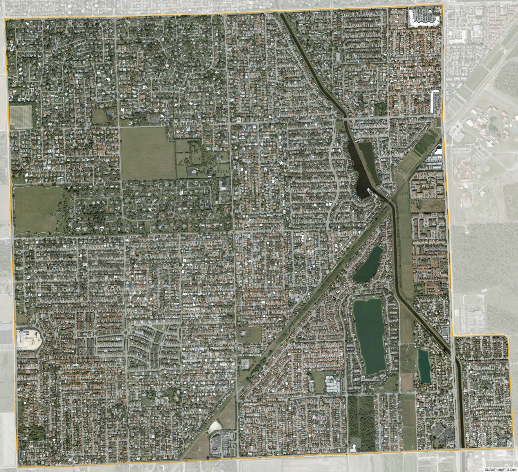
Richmond West city Satellite Map
Geography
Richmond West is located 21 miles (34 km) southwest of downtown Miami at 25°36′37″N 80°25′40″W / 25.610164°N 80.427836°W / 25.610164; -80.427836. It is bordered to the north by Country Walk, and Zoo Miami is in part of the square mile to the east.
According to the United States Census Bureau, the CDP has a total area of 4.3 square miles (11 km), of which 4.2 square miles (11 km) are land and 0.1 square miles (0.26 km), or 2.59%, are water.
See also
Map of Florida State and its subdivision:- Alachua
- Baker
- Bay
- Bradford
- Brevard
- Broward
- Calhoun
- Charlotte
- Citrus
- Clay
- Collier
- Columbia
- Desoto
- Dixie
- Duval
- Escambia
- Flagler
- Franklin
- Gadsden
- Gilchrist
- Glades
- Gulf
- Hamilton
- Hardee
- Hendry
- Hernando
- Highlands
- Hillsborough
- Holmes
- Indian River
- Jackson
- Jefferson
- Lafayette
- Lake
- Lee
- Leon
- Levy
- Liberty
- Madison
- Manatee
- Marion
- Martin
- Miami-Dade
- Monroe
- Nassau
- Okaloosa
- Okeechobee
- Orange
- Osceola
- Palm Beach
- Pasco
- Pinellas
- Polk
- Putnam
- Saint Johns
- Saint Lucie
- Santa Rosa
- Sarasota
- Seminole
- Sumter
- Suwannee
- Taylor
- Union
- Volusia
- Wakulla
- Walton
- Washington
- Alabama
- Alaska
- Arizona
- Arkansas
- California
- Colorado
- Connecticut
- Delaware
- District of Columbia
- Florida
- Georgia
- Hawaii
- Idaho
- Illinois
- Indiana
- Iowa
- Kansas
- Kentucky
- Louisiana
- Maine
- Maryland
- Massachusetts
- Michigan
- Minnesota
- Mississippi
- Missouri
- Montana
- Nebraska
- Nevada
- New Hampshire
- New Jersey
- New Mexico
- New York
- North Carolina
- North Dakota
- Ohio
- Oklahoma
- Oregon
- Pennsylvania
- Rhode Island
- South Carolina
- South Dakota
- Tennessee
- Texas
- Utah
- Vermont
- Virginia
- Washington
- West Virginia
- Wisconsin
- Wyoming


