Riviera Beach is a city in Palm Beach County, Florida, United States, which was incorporated September 29, 1922. Due to the location of its eastern boundary, it is also the easternmost municipality in the Miami metropolitan area, which was home to an estimated 6,012,331 people in 2015. In the 2020 U.S. Census, the total population of Riviera Beach residents was 37,604 people.
Riviera Beach is predominantly an African-American city and it is on the list of U.S. cities with African American majority populations. It is home to the Port of Palm Beach and a United States Coast Guard station, and has its own marina. Riviera Beach is home to Blue Heron Bridge, one of the country’s top-rated beach dive sites. In 2015, Riviera Beach renamed part of Old Dixie Highway that runs inside the city limits as President Barack Obama Highway. The city is also home to Rapids Water Park, a water park attraction for both tourists and residents.
| Name: | Riviera Beach city |
|---|---|
| LSAD Code: | 25 |
| LSAD Description: | city (suffix) |
| State: | Florida |
| County: | Palm Beach County |
| Elevation: | 16 ft (5 m) |
| Total Area: | 9.66 sq mi (25.01 km²) |
| Land Area: | 8.28 sq mi (21.44 km²) |
| Water Area: | 1.38 sq mi (3.57 km²) |
| Total Population: | 37,604 |
| Population Density: | 3,900/sq mi (1,500/km²) |
| ZIP code: | 33403, 33404, 33407, 33410, 33418 |
| Area code: | 561 |
| FIPS code: | 1260975 |
| GNISfeature ID: | 2404626 |
Online Interactive Map
Click on ![]() to view map in "full screen" mode.
to view map in "full screen" mode.
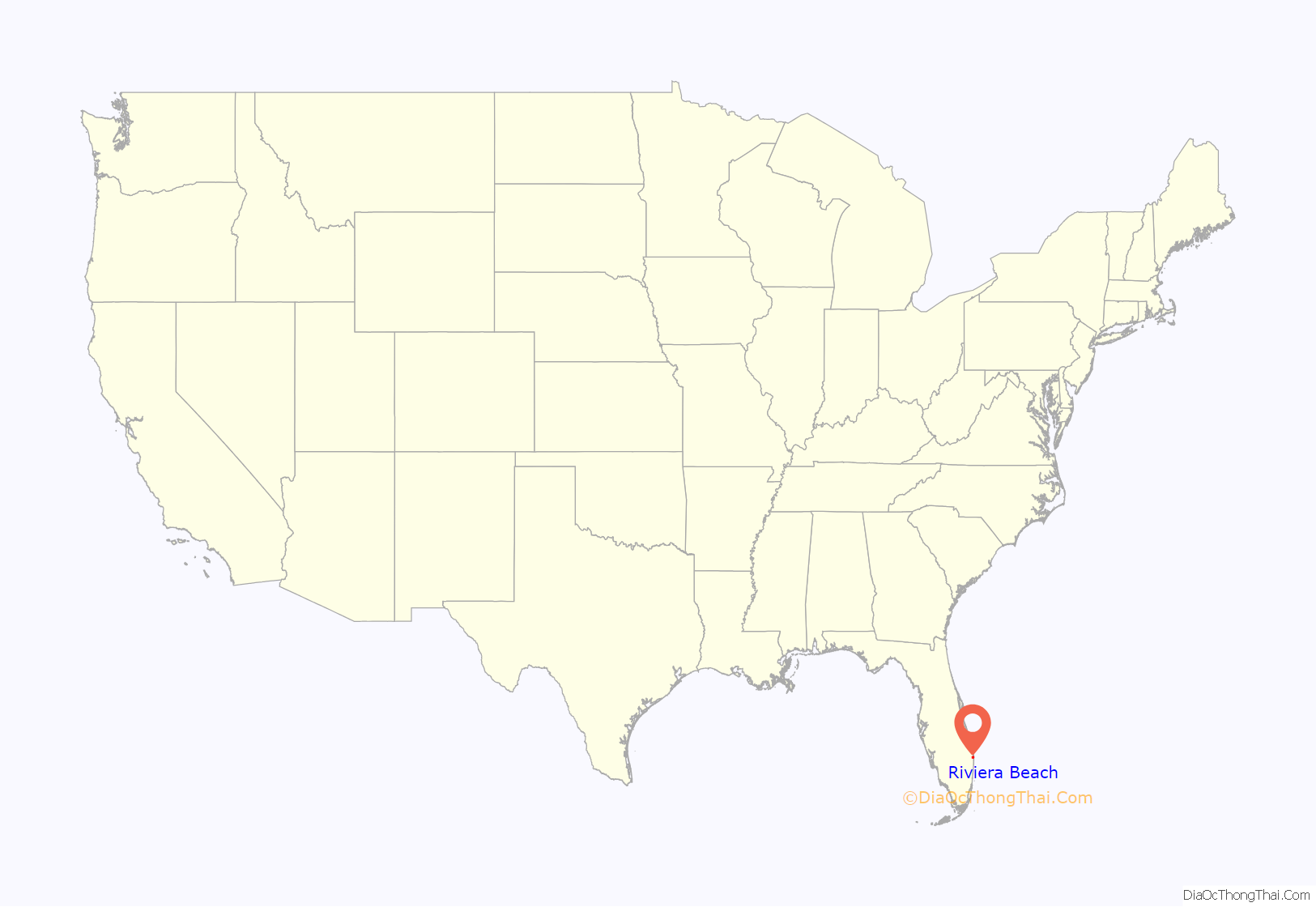
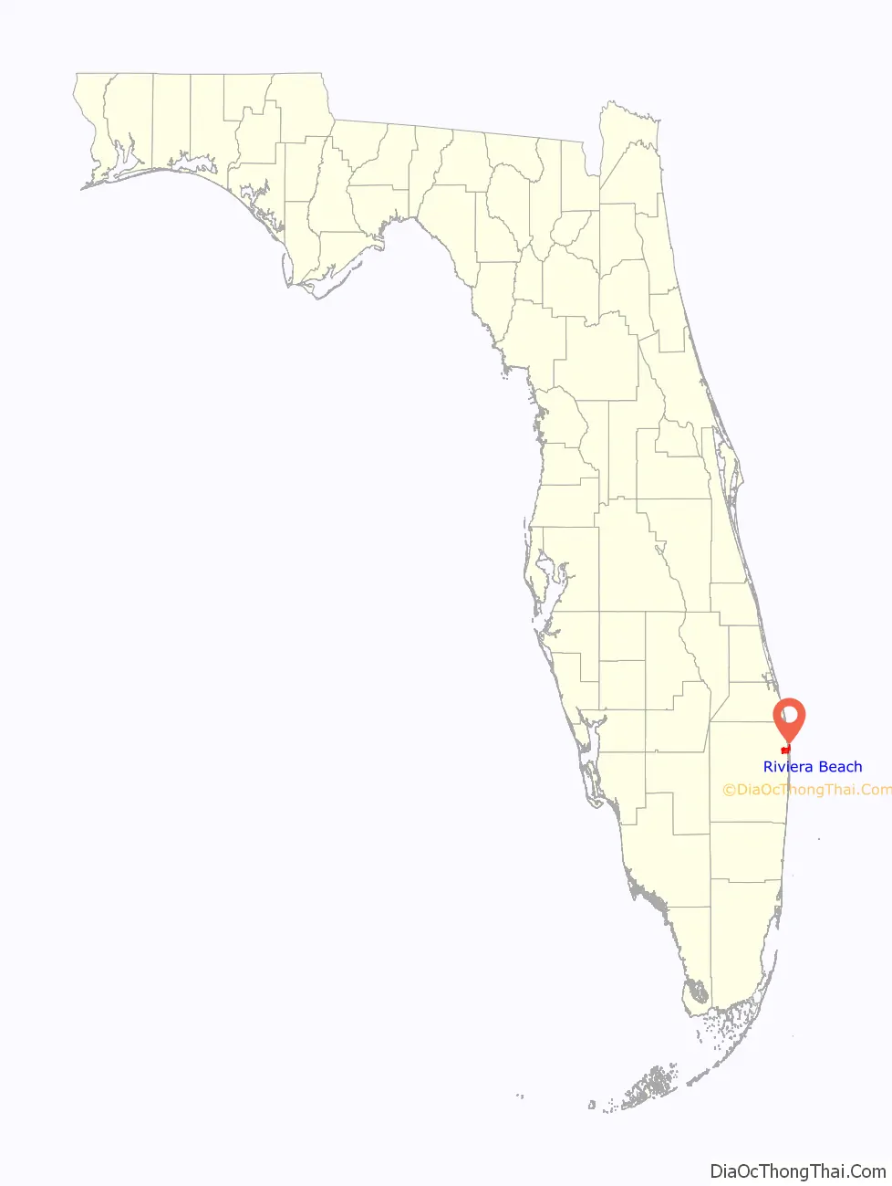
Riviera Beach location map. Where is Riviera Beach city?
History
Riviera Beach was originally called Oak Lawn, but the settlement was renamed Riviera in 1893. It wasn’t until 1941 that “Beach” was added, though it was incorporated in 1922 as only the “Town of Riviera”. In 1959, it converted from a “town” status to the present-day “City of Riviera Beach”. For the first half of the 20th century, its nickname was “Conch Town”, after the many Conch people (Bahamians and Bahamian Americans) who resided in the city. The city was named after the French Riviera.
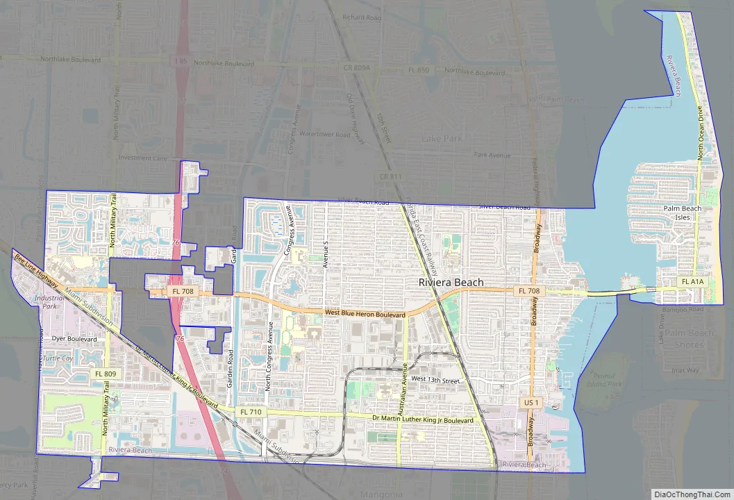
Riviera Beach Road Map
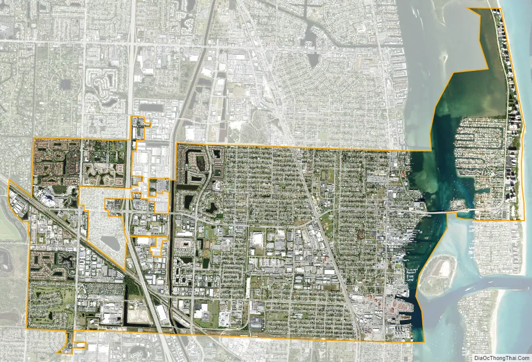
Riviera Beach city Satellite Map
Geography
According to the United States Census Bureau, the city has a total area of 9.8 square miles (25 km), of which 8.3 square miles (21 km) is land and 1.5 square miles (3.9 km) (15.33%) is water. The eastern part of the city includes most of Singer Island, a peninsula on the Atlantic coast of Palm Beach County, Florida, which is separated from the mainland portion of the city by Lake Worth’s Lake Worth Lagoon.
See also
Map of Florida State and its subdivision:- Alachua
- Baker
- Bay
- Bradford
- Brevard
- Broward
- Calhoun
- Charlotte
- Citrus
- Clay
- Collier
- Columbia
- Desoto
- Dixie
- Duval
- Escambia
- Flagler
- Franklin
- Gadsden
- Gilchrist
- Glades
- Gulf
- Hamilton
- Hardee
- Hendry
- Hernando
- Highlands
- Hillsborough
- Holmes
- Indian River
- Jackson
- Jefferson
- Lafayette
- Lake
- Lee
- Leon
- Levy
- Liberty
- Madison
- Manatee
- Marion
- Martin
- Miami-Dade
- Monroe
- Nassau
- Okaloosa
- Okeechobee
- Orange
- Osceola
- Palm Beach
- Pasco
- Pinellas
- Polk
- Putnam
- Saint Johns
- Saint Lucie
- Santa Rosa
- Sarasota
- Seminole
- Sumter
- Suwannee
- Taylor
- Union
- Volusia
- Wakulla
- Walton
- Washington
- Alabama
- Alaska
- Arizona
- Arkansas
- California
- Colorado
- Connecticut
- Delaware
- District of Columbia
- Florida
- Georgia
- Hawaii
- Idaho
- Illinois
- Indiana
- Iowa
- Kansas
- Kentucky
- Louisiana
- Maine
- Maryland
- Massachusetts
- Michigan
- Minnesota
- Mississippi
- Missouri
- Montana
- Nebraska
- Nevada
- New Hampshire
- New Jersey
- New Mexico
- New York
- North Carolina
- North Dakota
- Ohio
- Oklahoma
- Oregon
- Pennsylvania
- Rhode Island
- South Carolina
- South Dakota
- Tennessee
- Texas
- Utah
- Vermont
- Virginia
- Washington
- West Virginia
- Wisconsin
- Wyoming


