Siesta Key is a barrier island off the southwest coast of the U.S. state of Florida, located between Roberts Bay and the Gulf of Mexico. A portion of it lies within the city boundary of Sarasota, but the majority of the key is a census-designated place (CDP) in Sarasota County. Siesta Key is part of the Bradenton–Sarasota–Venice Metropolitan Statistical Area.
| Name: | Siesta Key CDP |
|---|---|
| LSAD Code: | 57 |
| LSAD Description: | CDP (suffix) |
| State: | Florida |
| County: | Sarasota County |
| Elevation: | 3 ft (1 m) |
| Total Area: | 3.46 sq mi (8.97 km²) |
| Land Area: | 2.34 sq mi (6.07 km²) |
| Water Area: | 1.12 sq mi (2.90 km²) |
| Total Population: | 5,454 |
| Population Density: | 2,326.79/sq mi (898.23/km²) |
| ZIP code: | 34242 |
| Area code: | 941 |
| FIPS code: | 1266000 |
| GNISfeature ID: | 1802950 |
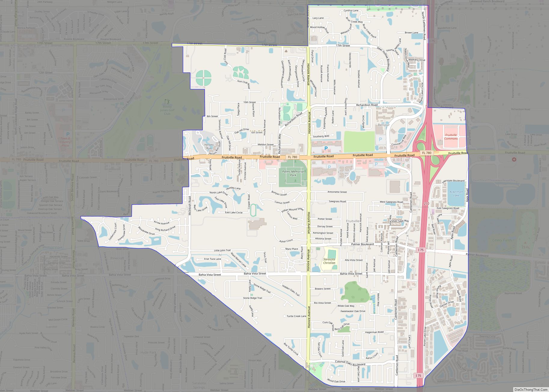
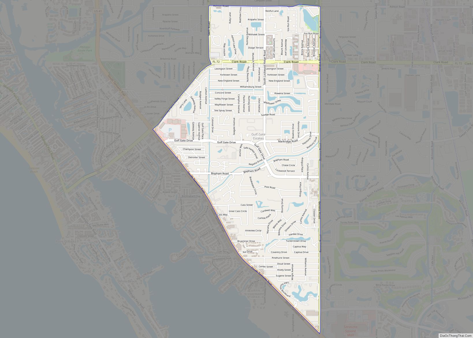
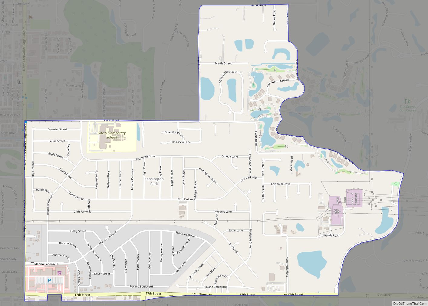
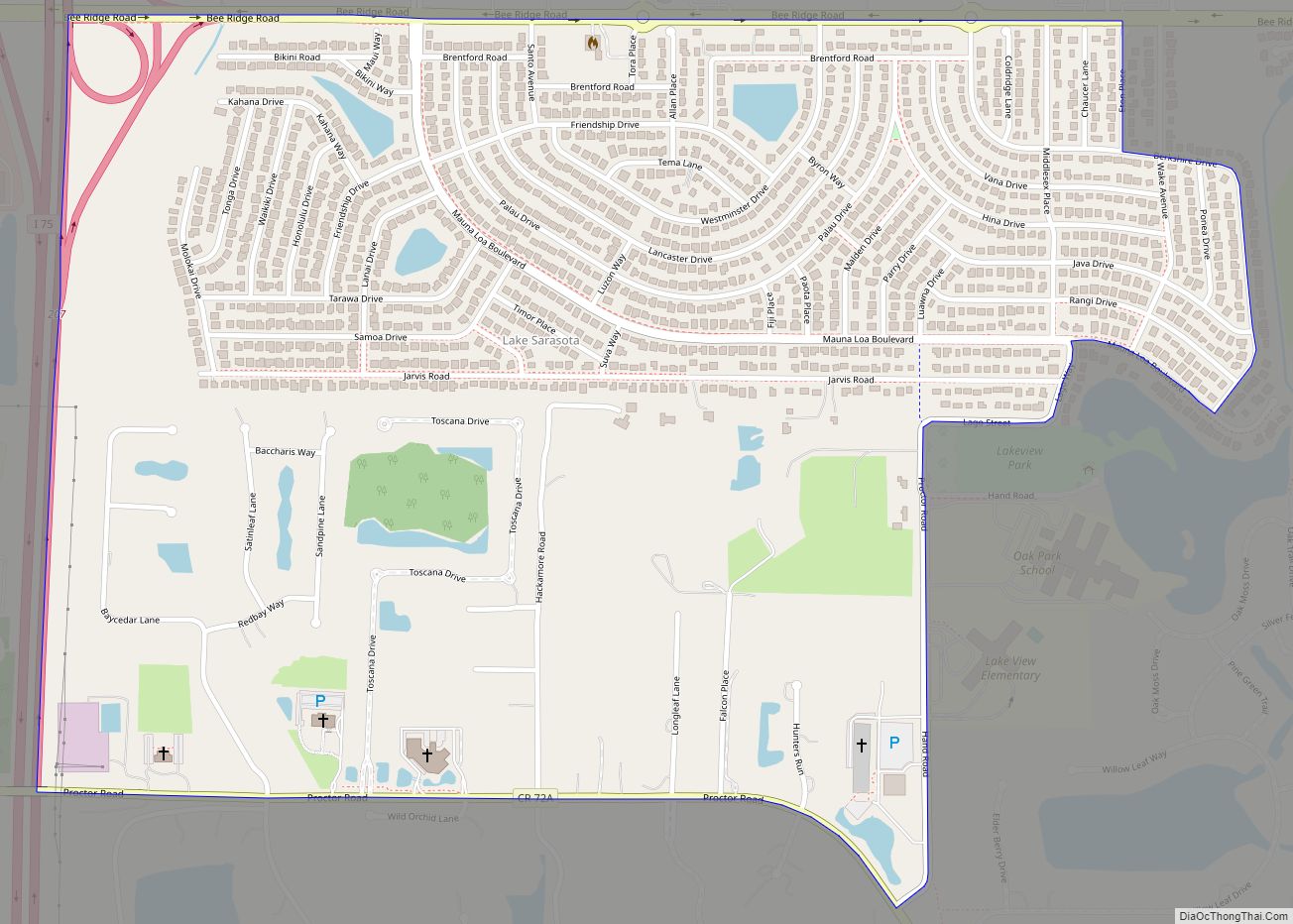
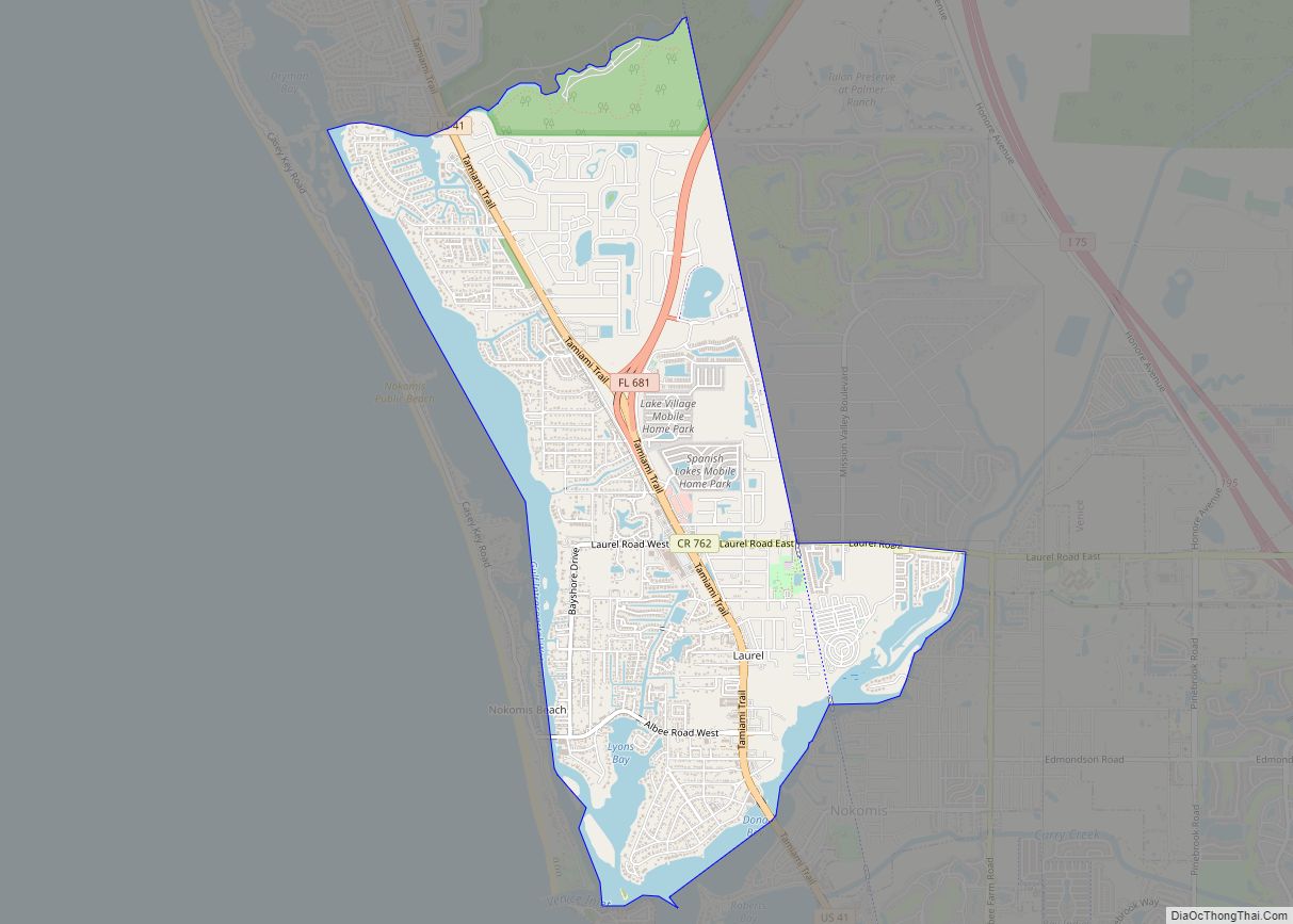
Online Interactive Map
Click on ![]() to view map in "full screen" mode.
to view map in "full screen" mode.
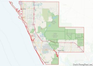
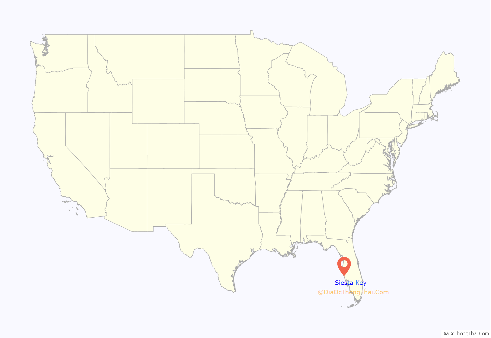
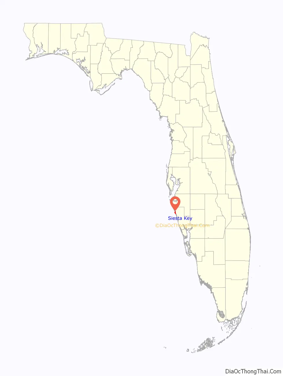
Siesta Key location map. Where is Siesta Key CDP?
History
From the 19th century to the early 20th century, Siesta Key was known by a variety of names, including “Little Sarasota Key” and “Sarasota Key”. The first attempts to develop the key were by the Siesta Land Company in 1907 consisting of Harry Higel, Captain Louis Roberts, and E. M. Arbogast. The company platted the northern end of the key as “Siesta on the Gulf” as well as dredged bayous and built docks.
The only access to Siesta Key was by boat or ferry until the first bridge connecting it to the mainland was completed in 1917. The bridge was later replaced in 1927 along with an addition of a second bridge located on the southern end of the key. The entire key was officially recognized as “Siesta Key” by 1952.
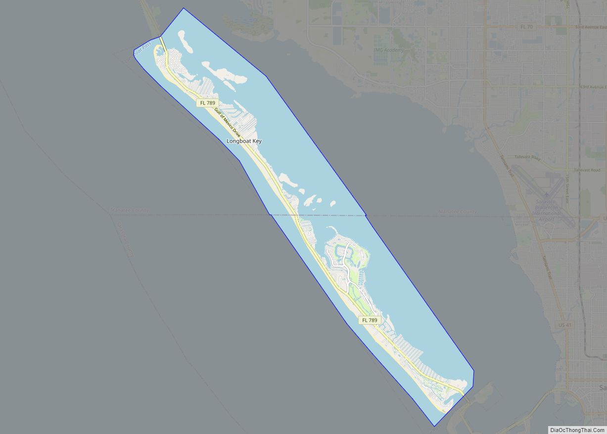
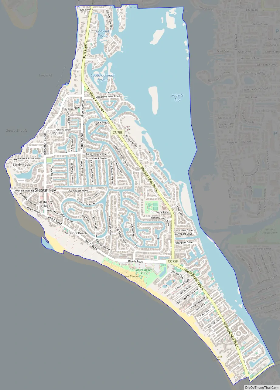
Siesta Key Road Map
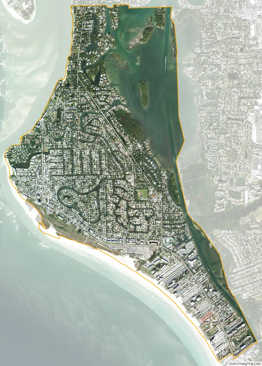
Siesta Key city Satellite Map
Geography
According to the United States Census Bureau, the CDP has a total area of 3.5 square miles (9.0 km), of which 2.4 square miles (6.1 km) is land and 1.1 square miles (2.9 km), or 32.08%, is water.
Siesta Key is made up of four main districts: Siesta Beach, Crescent Beach, Turtle Beach, and Siesta Key Village. It contains a suburban residential area located on the Siesta Key barrier island on the West coast of Florida, just west of the town of Sarasota. The community on Siesta Key consists of single family homes, condominiums, retail shops and art galleries.
Beaches
Beaches on Siesta Key include Siesta Beach, Crescent Beach, and Turtle Beach. Siesta Beach was named #1 in the U.S. and #11 in the world in the 2020 TripAdvisor Travelers’ Choice™ awards.
See also
Map of Florida State and its subdivision:- Alachua
- Baker
- Bay
- Bradford
- Brevard
- Broward
- Calhoun
- Charlotte
- Citrus
- Clay
- Collier
- Columbia
- Desoto
- Dixie
- Duval
- Escambia
- Flagler
- Franklin
- Gadsden
- Gilchrist
- Glades
- Gulf
- Hamilton
- Hardee
- Hendry
- Hernando
- Highlands
- Hillsborough
- Holmes
- Indian River
- Jackson
- Jefferson
- Lafayette
- Lake
- Lee
- Leon
- Levy
- Liberty
- Madison
- Manatee
- Marion
- Martin
- Miami-Dade
- Monroe
- Nassau
- Okaloosa
- Okeechobee
- Orange
- Osceola
- Palm Beach
- Pasco
- Pinellas
- Polk
- Putnam
- Saint Johns
- Saint Lucie
- Santa Rosa
- Sarasota
- Seminole
- Sumter
- Suwannee
- Taylor
- Union
- Volusia
- Wakulla
- Walton
- Washington
- Alabama
- Alaska
- Arizona
- Arkansas
- California
- Colorado
- Connecticut
- Delaware
- District of Columbia
- Florida
- Georgia
- Hawaii
- Idaho
- Illinois
- Indiana
- Iowa
- Kansas
- Kentucky
- Louisiana
- Maine
- Maryland
- Massachusetts
- Michigan
- Minnesota
- Mississippi
- Missouri
- Montana
- Nebraska
- Nevada
- New Hampshire
- New Jersey
- New Mexico
- New York
- North Carolina
- North Dakota
- Ohio
- Oklahoma
- Oregon
- Pennsylvania
- Rhode Island
- South Carolina
- South Dakota
- Tennessee
- Texas
- Utah
- Vermont
- Virginia
- Washington
- West Virginia
- Wisconsin
- Wyoming