Southgate is a census-designated place (CDP) in Sarasota County, Florida, United States. The population was 7,173 at the 2010 census. It is part of the Bradenton–Sarasota–Venice Metropolitan Statistical Area.
| Name: | Southgate CDP |
|---|---|
| LSAD Code: | 57 |
| LSAD Description: | CDP (suffix) |
| State: | Florida |
| County: | Sarasota County |
| Elevation: | 0 ft (0 m) |
| Total Area: | 1.74 sq mi (4.50 km²) |
| Land Area: | 1.68 sq mi (4.34 km²) |
| Water Area: | 0.06 sq mi (0.16 km²) |
| Total Population: | 6,287 |
| Population Density: | 3,748.96/sq mi (1,447.83/km²) |
| ZIP code: | 34239 |
| Area code: | 941 |
| FIPS code: | 1267425 |
| GNISfeature ID: | 1867207 |
Online Interactive Map
Click on ![]() to view map in "full screen" mode.
to view map in "full screen" mode.
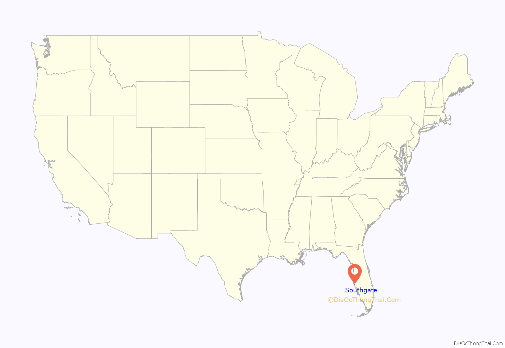
Southgate location map. Where is Southgate CDP?
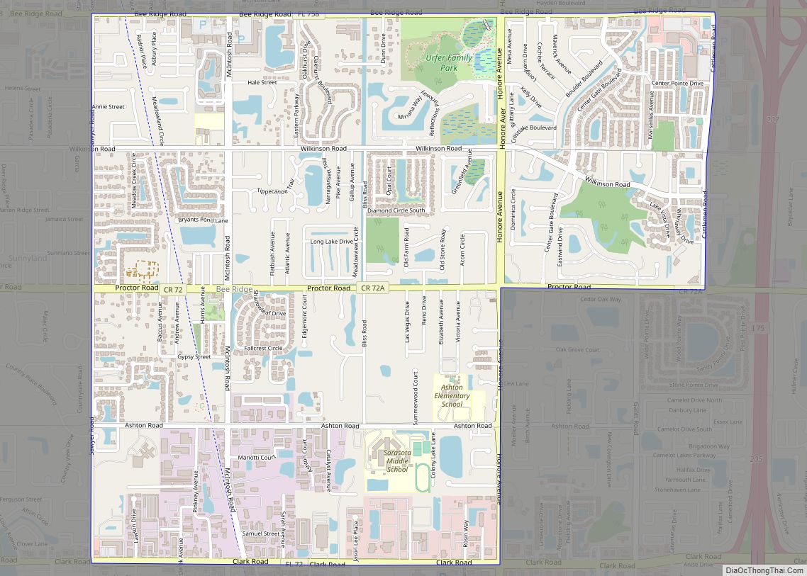
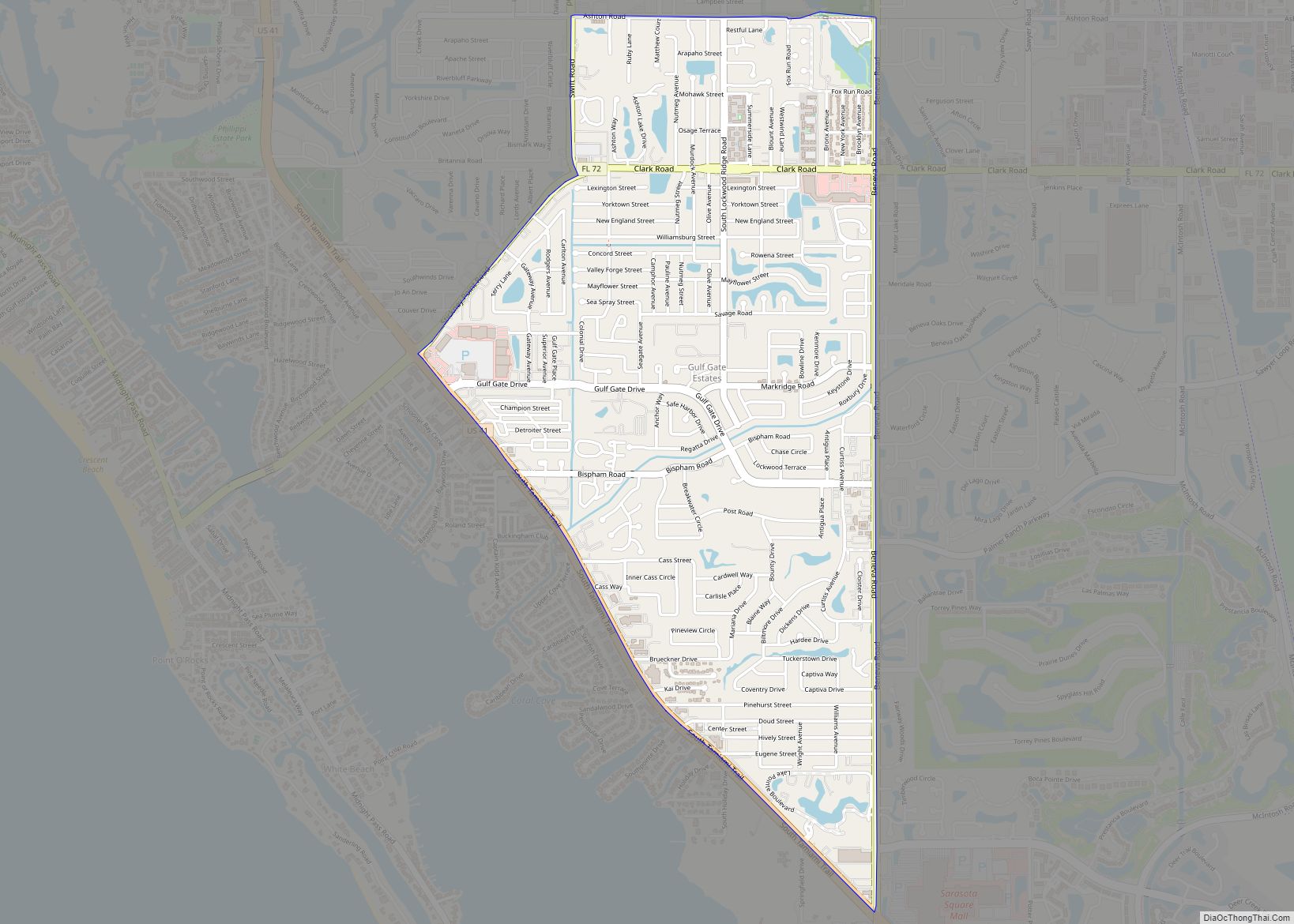
Southgate Road Map
Southgate city Satellite Map
Geography
Southgate is located at 27°18′32″N 82°30′38″W / 27.30889°N 82.51056°W / 27.30889; -82.51056 (27.308974, -82.510577).
According to the United States Census Bureau, the CDP has a total area of 2.1 square miles (5.4 km), of which 2.0 square miles (5.2 km) is land and 0.077 square miles (0.2 km), or 3.58%, is water.
Southgate is an older suburb of Sarasota, built in the early 1960s. Many homes in Southgate feature more “retro” styling, and almost all are one story. The neighborhood is well kept-up, however, and is quickly becoming a place where more wealthy families reside. Property values in Southgate have skyrocketed in the last few years, and its close proximity to downtown Sarasota, beaches, and shopping makes it a very desirable place to live.
See also
Map of Florida State and its subdivision:- Alachua
- Baker
- Bay
- Bradford
- Brevard
- Broward
- Calhoun
- Charlotte
- Citrus
- Clay
- Collier
- Columbia
- Desoto
- Dixie
- Duval
- Escambia
- Flagler
- Franklin
- Gadsden
- Gilchrist
- Glades
- Gulf
- Hamilton
- Hardee
- Hendry
- Hernando
- Highlands
- Hillsborough
- Holmes
- Indian River
- Jackson
- Jefferson
- Lafayette
- Lake
- Lee
- Leon
- Levy
- Liberty
- Madison
- Manatee
- Marion
- Martin
- Miami-Dade
- Monroe
- Nassau
- Okaloosa
- Okeechobee
- Orange
- Osceola
- Palm Beach
- Pasco
- Pinellas
- Polk
- Putnam
- Saint Johns
- Saint Lucie
- Santa Rosa
- Sarasota
- Seminole
- Sumter
- Suwannee
- Taylor
- Union
- Volusia
- Wakulla
- Walton
- Washington
- Alabama
- Alaska
- Arizona
- Arkansas
- California
- Colorado
- Connecticut
- Delaware
- District of Columbia
- Florida
- Georgia
- Hawaii
- Idaho
- Illinois
- Indiana
- Iowa
- Kansas
- Kentucky
- Louisiana
- Maine
- Maryland
- Massachusetts
- Michigan
- Minnesota
- Mississippi
- Missouri
- Montana
- Nebraska
- Nevada
- New Hampshire
- New Jersey
- New Mexico
- New York
- North Carolina
- North Dakota
- Ohio
- Oklahoma
- Oregon
- Pennsylvania
- Rhode Island
- South Carolina
- South Dakota
- Tennessee
- Texas
- Utah
- Vermont
- Virginia
- Washington
- West Virginia
- Wisconsin
- Wyoming
