Springfield is a city in Bay County, Florida, United States, east of Panama City. The population was 8,903 at the 2010 census. It is part of the Panama City–Lynn Haven–Panama City Beach Metropolitan Statistical Area. Springfield was incorporated on February 12, 1935.
Unlike much of Bay County, Springfield has been mostly left out of the recent real estate boom, possibly due to the large and odoriferous chemical plant and paper mill on the city’s waterfront.
| Name: | Springfield city |
|---|---|
| LSAD Code: | 25 |
| LSAD Description: | city (suffix) |
| State: | Florida |
| County: | Bay County |
| Incorporated: | 1935 |
| Elevation: | 26 ft (8 m) |
| Total Area: | 4.30 sq mi (11.13 km²) |
| Land Area: | 4.18 sq mi (10.82 km²) |
| Water Area: | 0.12 sq mi (0.31 km²) |
| Total Population: | 8,075 |
| Population Density: | 1,932.74/sq mi (746.28/km²) |
| FIPS code: | 1268275 |
| GNISfeature ID: | 0291570 |
| Website: | springfield.fl.gov |
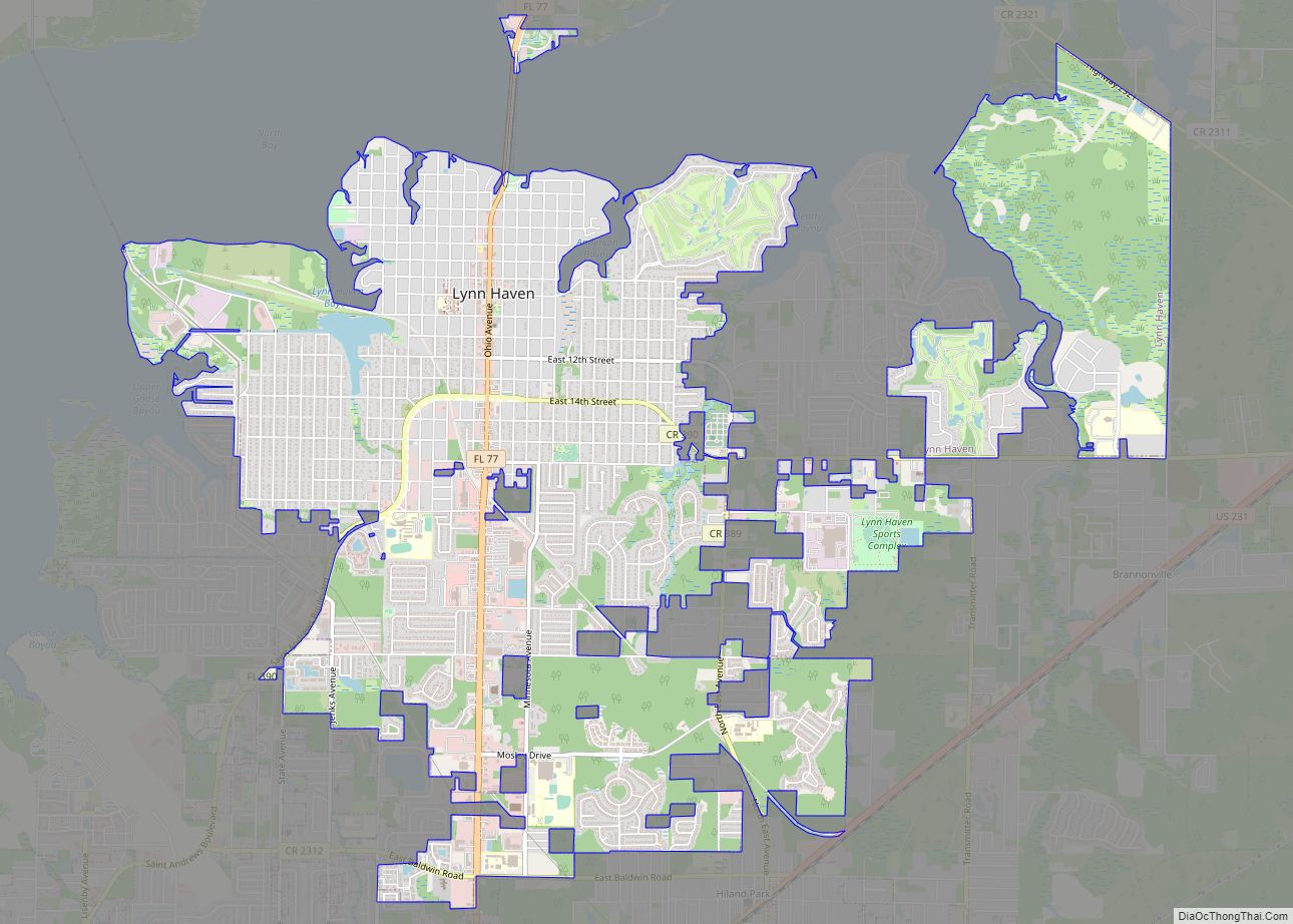
Online Interactive Map
Click on ![]() to view map in "full screen" mode.
to view map in "full screen" mode.
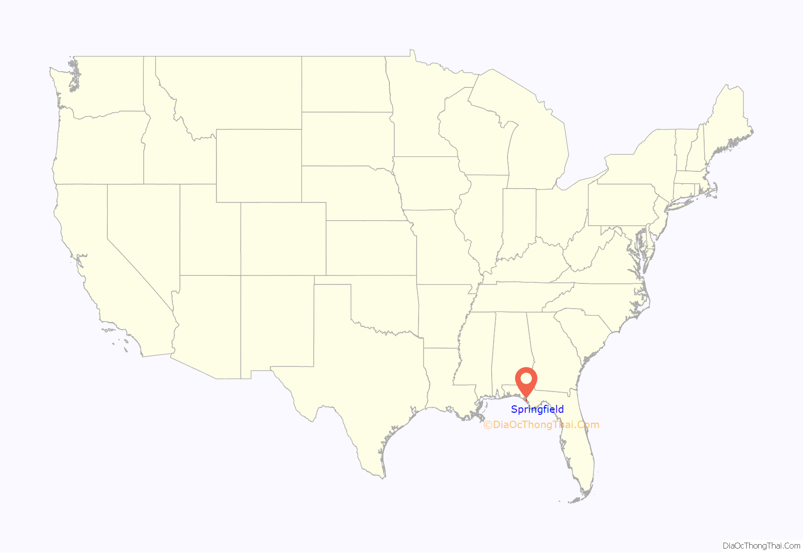
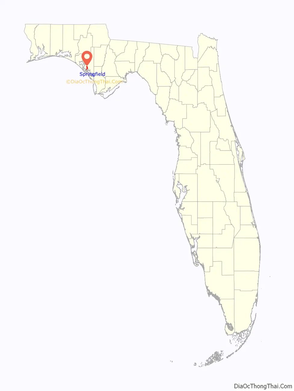
Springfield location map. Where is Springfield city?
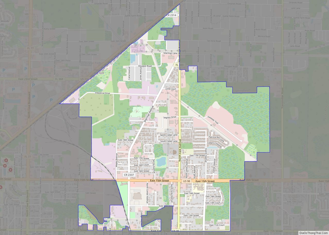
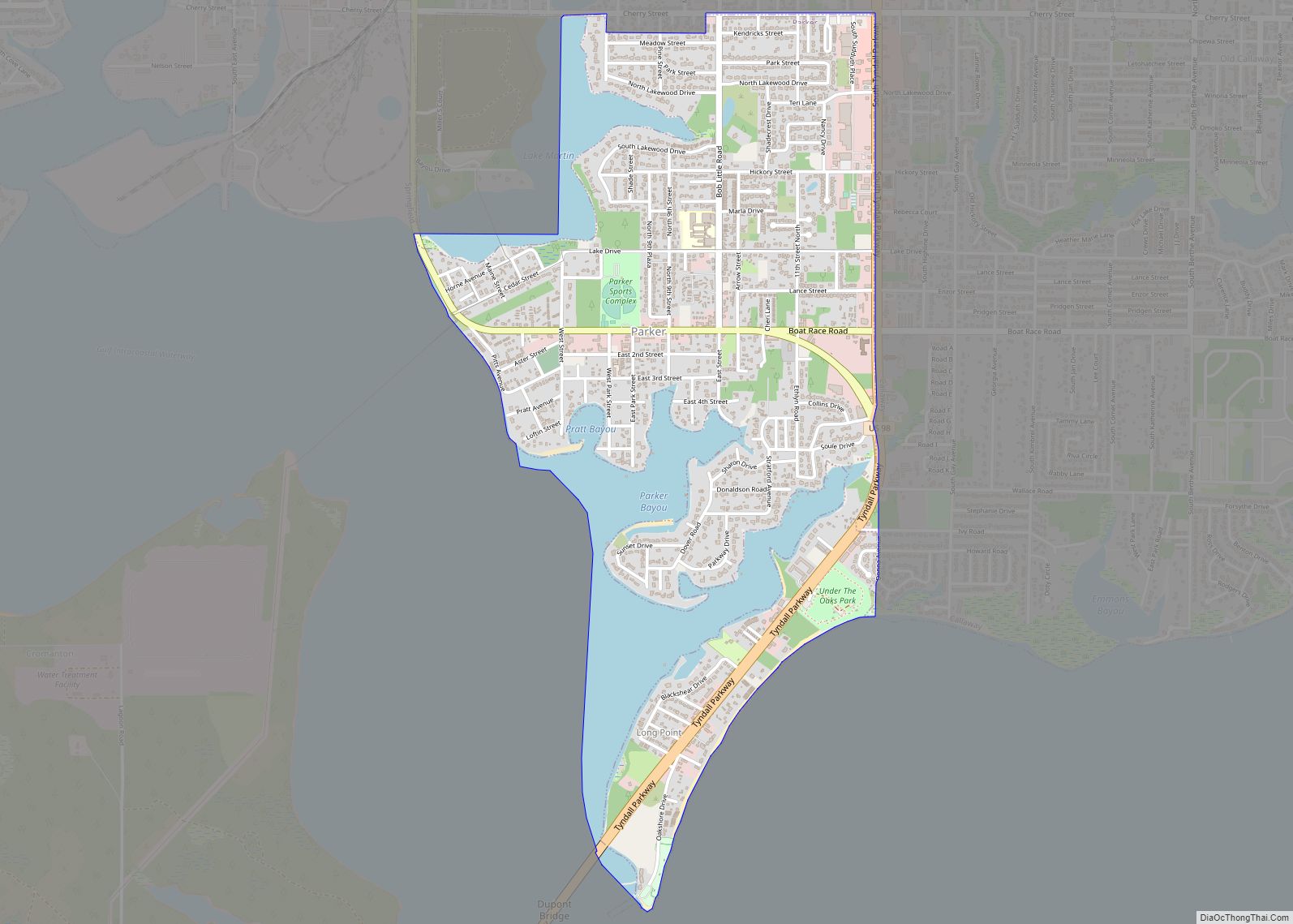
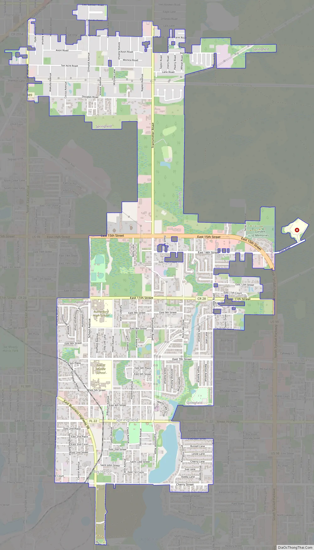
Springfield Road Map
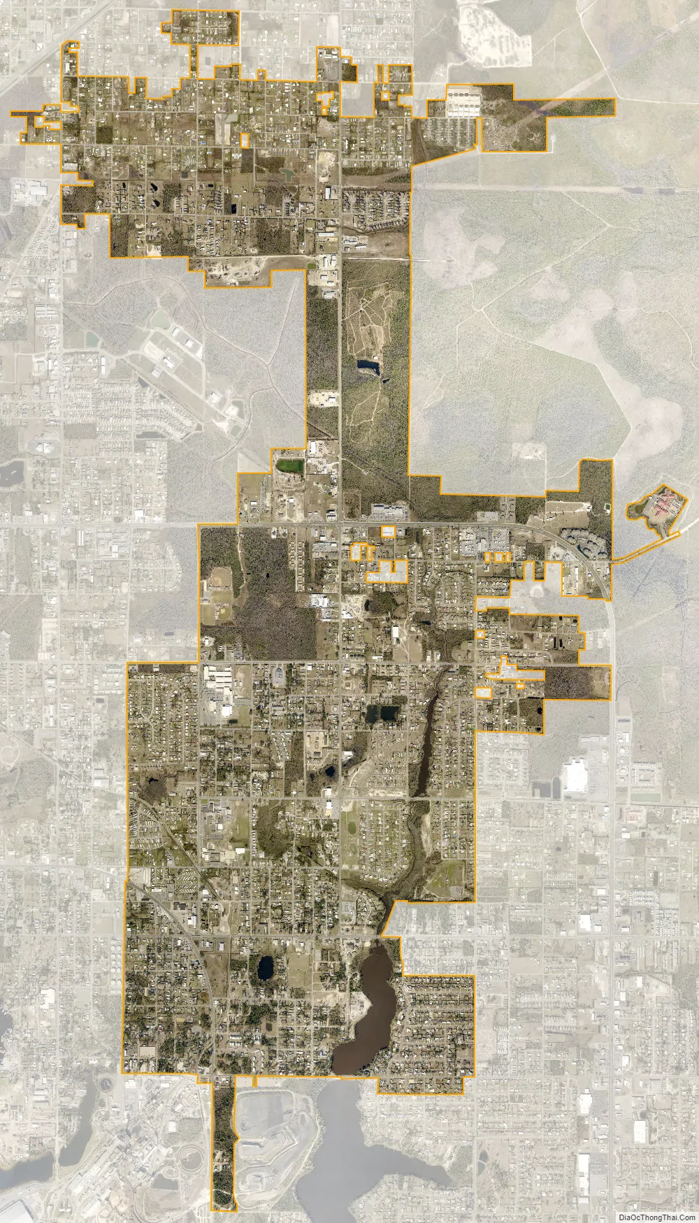
Springfield city Satellite Map
Geography
Springfield is located at 30°9′56″N 85°36′38″W / 30.16556°N 85.61056°W / 30.16556; -85.61056 (30.165451, –85.610525).
According to the United States Census Bureau, the city has a total area of 4.6 square miles (11.8 km), of which 4.3 square miles (11.2 km) is land and 0.23 square miles (0.6 km) (4.88%) is water.
See also
Map of Florida State and its subdivision:- Alachua
- Baker
- Bay
- Bradford
- Brevard
- Broward
- Calhoun
- Charlotte
- Citrus
- Clay
- Collier
- Columbia
- Desoto
- Dixie
- Duval
- Escambia
- Flagler
- Franklin
- Gadsden
- Gilchrist
- Glades
- Gulf
- Hamilton
- Hardee
- Hendry
- Hernando
- Highlands
- Hillsborough
- Holmes
- Indian River
- Jackson
- Jefferson
- Lafayette
- Lake
- Lee
- Leon
- Levy
- Liberty
- Madison
- Manatee
- Marion
- Martin
- Miami-Dade
- Monroe
- Nassau
- Okaloosa
- Okeechobee
- Orange
- Osceola
- Palm Beach
- Pasco
- Pinellas
- Polk
- Putnam
- Saint Johns
- Saint Lucie
- Santa Rosa
- Sarasota
- Seminole
- Sumter
- Suwannee
- Taylor
- Union
- Volusia
- Wakulla
- Walton
- Washington
- Alabama
- Alaska
- Arizona
- Arkansas
- California
- Colorado
- Connecticut
- Delaware
- District of Columbia
- Florida
- Georgia
- Hawaii
- Idaho
- Illinois
- Indiana
- Iowa
- Kansas
- Kentucky
- Louisiana
- Maine
- Maryland
- Massachusetts
- Michigan
- Minnesota
- Mississippi
- Missouri
- Montana
- Nebraska
- Nevada
- New Hampshire
- New Jersey
- New Mexico
- New York
- North Carolina
- North Dakota
- Ohio
- Oklahoma
- Oregon
- Pennsylvania
- Rhode Island
- South Carolina
- South Dakota
- Tennessee
- Texas
- Utah
- Vermont
- Virginia
- Washington
- West Virginia
- Wisconsin
- Wyoming