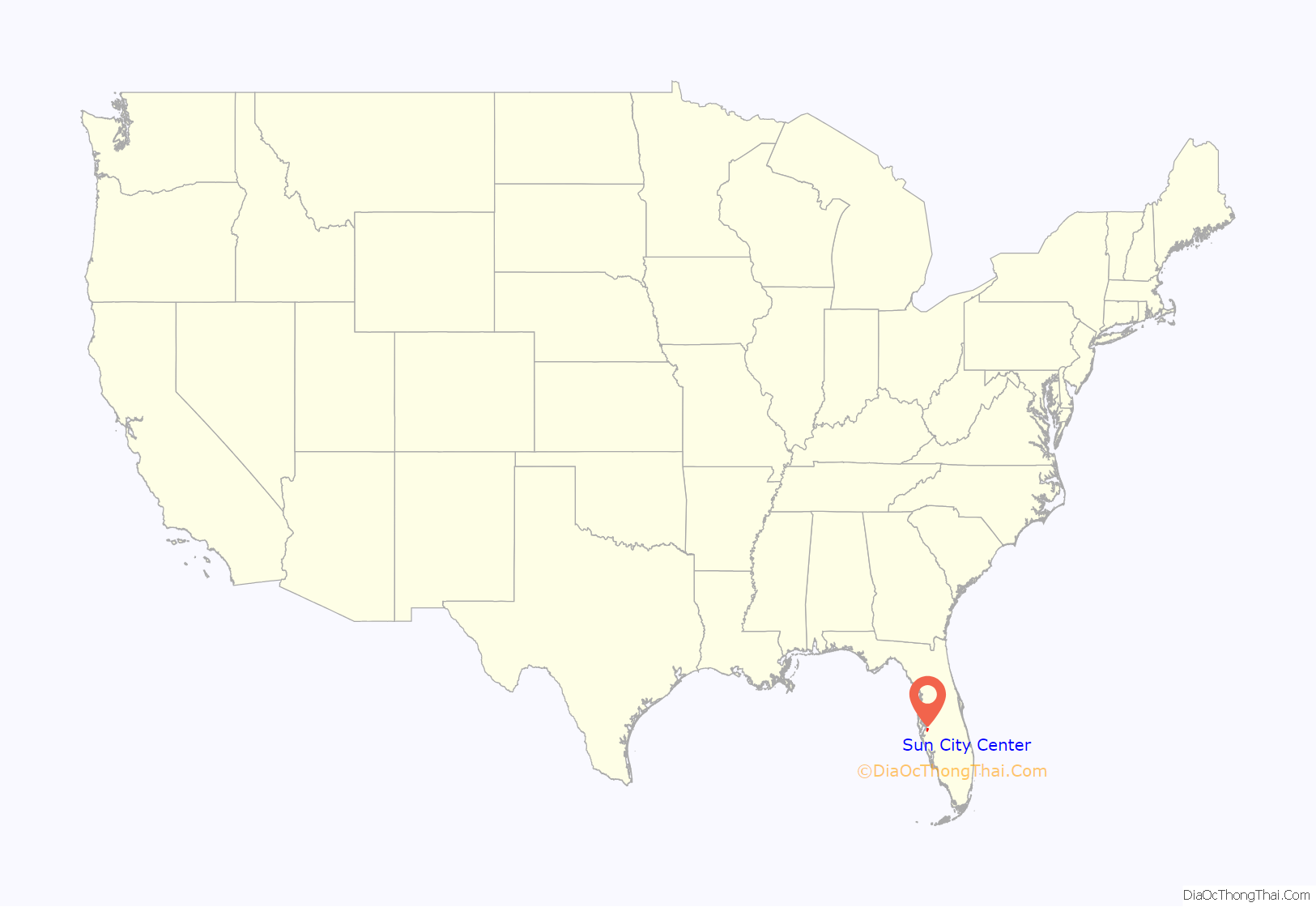
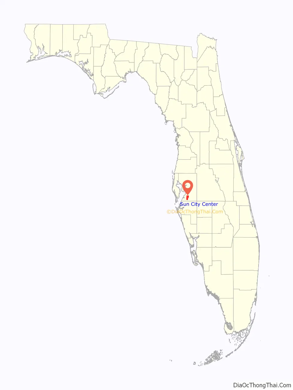
Sun City Center is an unincorporated census-designated place (CDP) in southern Hillsborough County, Florida, United States. It is located south of Tampa and north of Sarasota on I-75. As of the 2020 census, the population was 30,952. The ZIP Code serving the community is 33573.
| Name: | Sun City Center CDP |
|---|---|
| LSAD Code: | 57 |
| LSAD Description: | CDP (suffix) |
| State: | Florida |
| County: | Hillsborough County |
| Founded: | 1961 |
| Elevation: | 49 ft (15 m) |
| Total Area: | 16.61 sq mi (43.01 km²) |
| Land Area: | 15.76 sq mi (40.82 km²) |
| Water Area: | 0.85 sq mi (2.19 km²) |
| Total Population: | 30,952 |
| Population Density: | 1,964.08/sq mi (758.35/km²) |
| Area code: | 813 |
| FIPS code: | 1269250 |
| GNISfeature ID: | 1853255 |
| Website: | www.suncitycenter.org |
Online Interactive Map
Click on ![]() to view map in "full screen" mode.
to view map in "full screen" mode.
Sun City Center location map. Where is Sun City Center CDP?
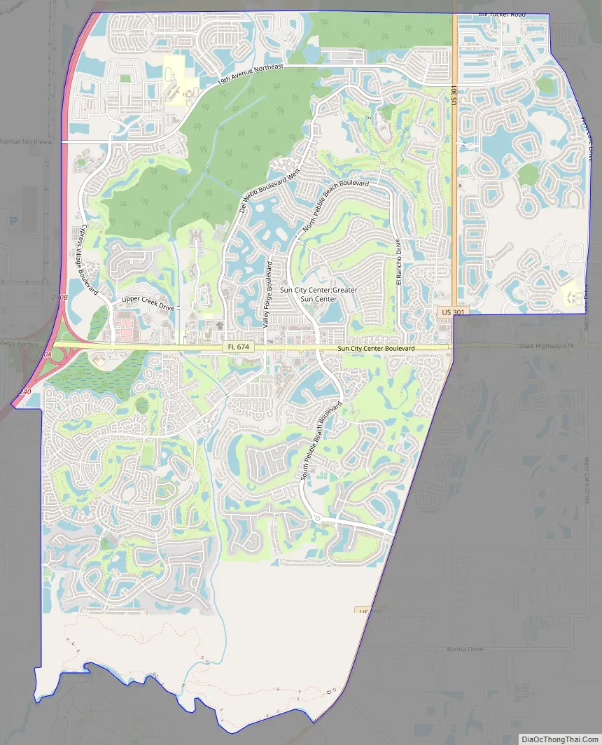
Sun City Center Road Map
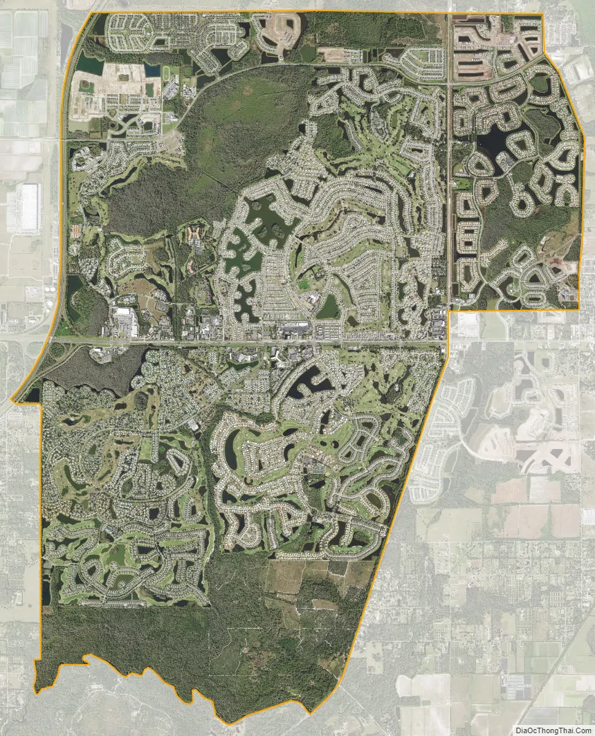
Sun City Center city Satellite Map
Geography
Sun City Center is located in southern Hillsborough County at 27°42′48″N 82°21′35″W / 27.71333°N 82.35972°W / 27.71333; -82.35972 (27.713353, -82.359659). It is bordered to the northwest by Apollo Beach, to the northeast by Balm, to the east by Wimauma, and to the west by Ruskin. Interstate 75 forms the northwestern edge of the CDP, with access from Exit 240, Sun City Center Boulevard (State Road 674). U.S. Route 301 forms the eastern edge of the CDP, and the southern edge follows the Little Manatee River. Tampa is 24 miles (39 km) to the north, and Bradenton is 21 miles (34 km) to the southwest via I-75, or 25 miles (40 km) via US-301.
According to the United States Census Bureau, Sun City Center has a total area of 16.6 square miles (43.0 km), of which 15.8 square miles (40.8 km) are land and 0.85 square miles (2.2 km), or 5.20%, are water.
See also
Map of Florida State and its subdivision:- Alachua
- Baker
- Bay
- Bradford
- Brevard
- Broward
- Calhoun
- Charlotte
- Citrus
- Clay
- Collier
- Columbia
- Desoto
- Dixie
- Duval
- Escambia
- Flagler
- Franklin
- Gadsden
- Gilchrist
- Glades
- Gulf
- Hamilton
- Hardee
- Hendry
- Hernando
- Highlands
- Hillsborough
- Holmes
- Indian River
- Jackson
- Jefferson
- Lafayette
- Lake
- Lee
- Leon
- Levy
- Liberty
- Madison
- Manatee
- Marion
- Martin
- Miami-Dade
- Monroe
- Nassau
- Okaloosa
- Okeechobee
- Orange
- Osceola
- Palm Beach
- Pasco
- Pinellas
- Polk
- Putnam
- Saint Johns
- Saint Lucie
- Santa Rosa
- Sarasota
- Seminole
- Sumter
- Suwannee
- Taylor
- Union
- Volusia
- Wakulla
- Walton
- Washington
- Alabama
- Alaska
- Arizona
- Arkansas
- California
- Colorado
- Connecticut
- Delaware
- District of Columbia
- Florida
- Georgia
- Hawaii
- Idaho
- Illinois
- Indiana
- Iowa
- Kansas
- Kentucky
- Louisiana
- Maine
- Maryland
- Massachusetts
- Michigan
- Minnesota
- Mississippi
- Missouri
- Montana
- Nebraska
- Nevada
- New Hampshire
- New Jersey
- New Mexico
- New York
- North Carolina
- North Dakota
- Ohio
- Oklahoma
- Oregon
- Pennsylvania
- Rhode Island
- South Carolina
- South Dakota
- Tennessee
- Texas
- Utah
- Vermont
- Virginia
- Washington
- West Virginia
- Wisconsin
- Wyoming


