Vamo is a census-designated place (CDP) in Sarasota County, Florida, United States. The population was 4,727 at the 2010 census. It is part of the Bradenton–Sarasota–Venice Metropolitan Statistical Area.
| Name: | Vamo CDP |
|---|---|
| LSAD Code: | 57 |
| LSAD Description: | CDP (suffix) |
| State: | Florida |
| County: | Sarasota County |
| Elevation: | 13 ft (4 m) |
| Total Area: | 1.10 sq mi (2.84 km²) |
| Land Area: | 0.78 sq mi (2.02 km²) |
| Water Area: | 0.32 sq mi (0.83 km²) |
| Total Population: | 2,822 |
| Population Density: | 3,622.59/sq mi (1,398.17/km²) |
| FIPS code: | 1273725 |
| GNISfeature ID: | 0292728 |
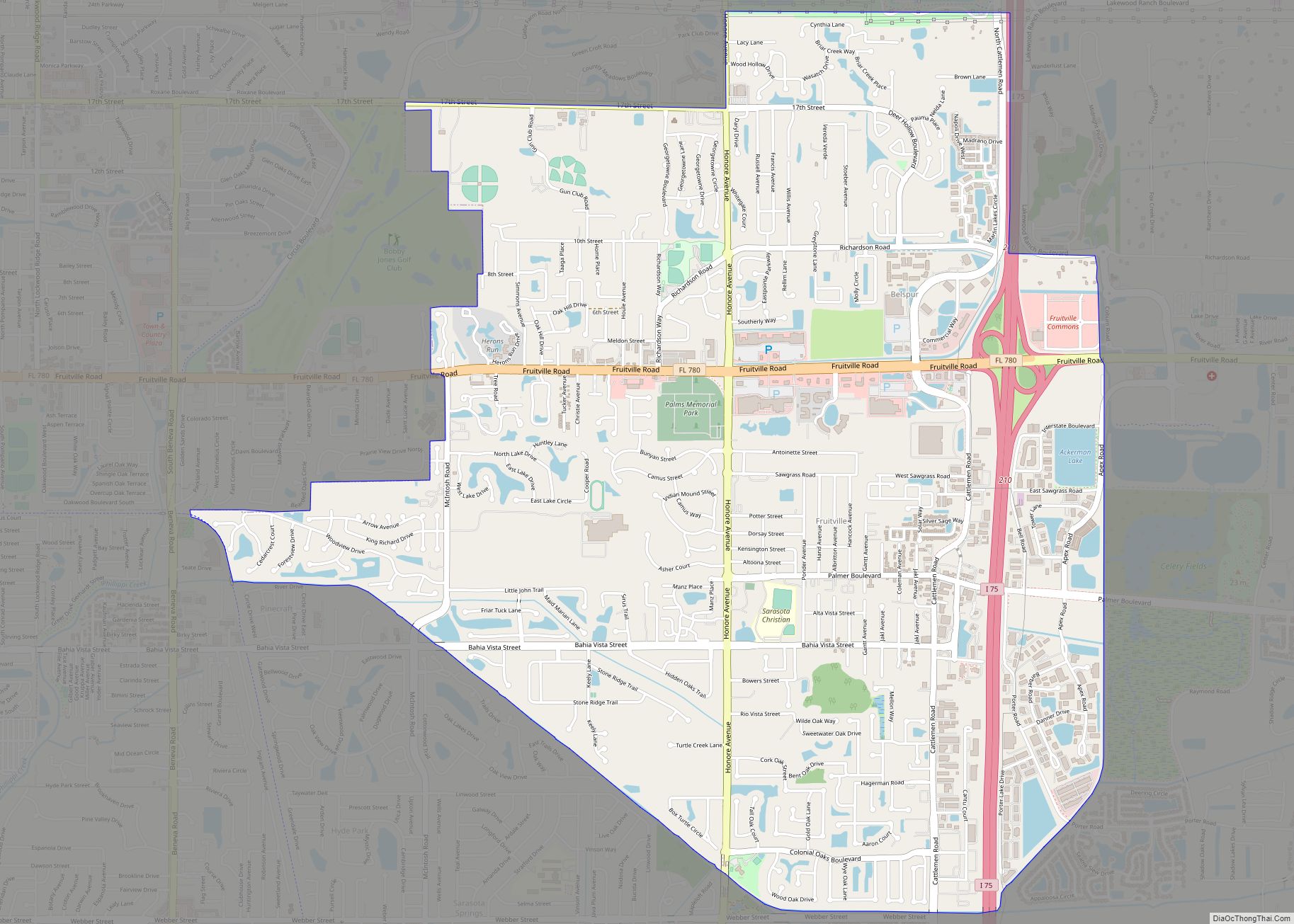
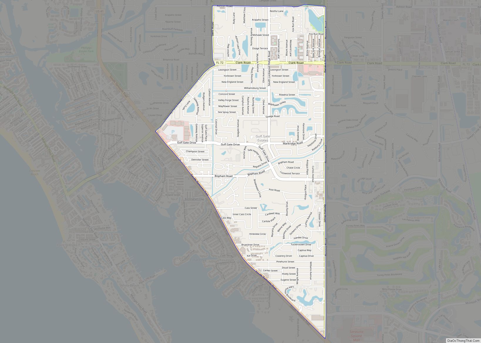
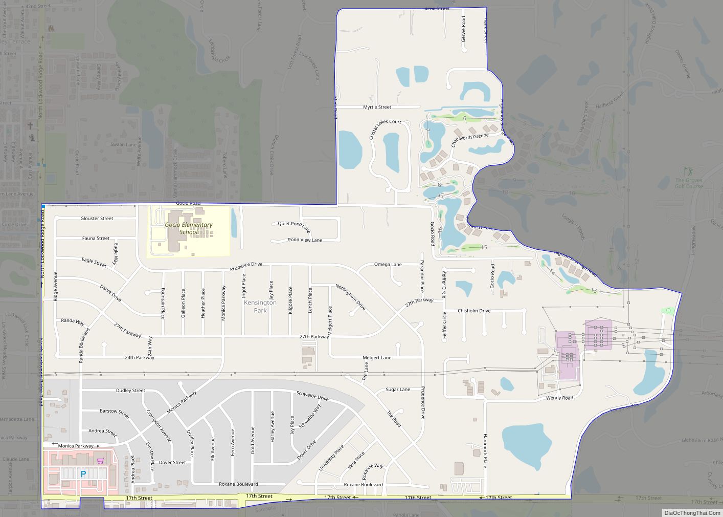
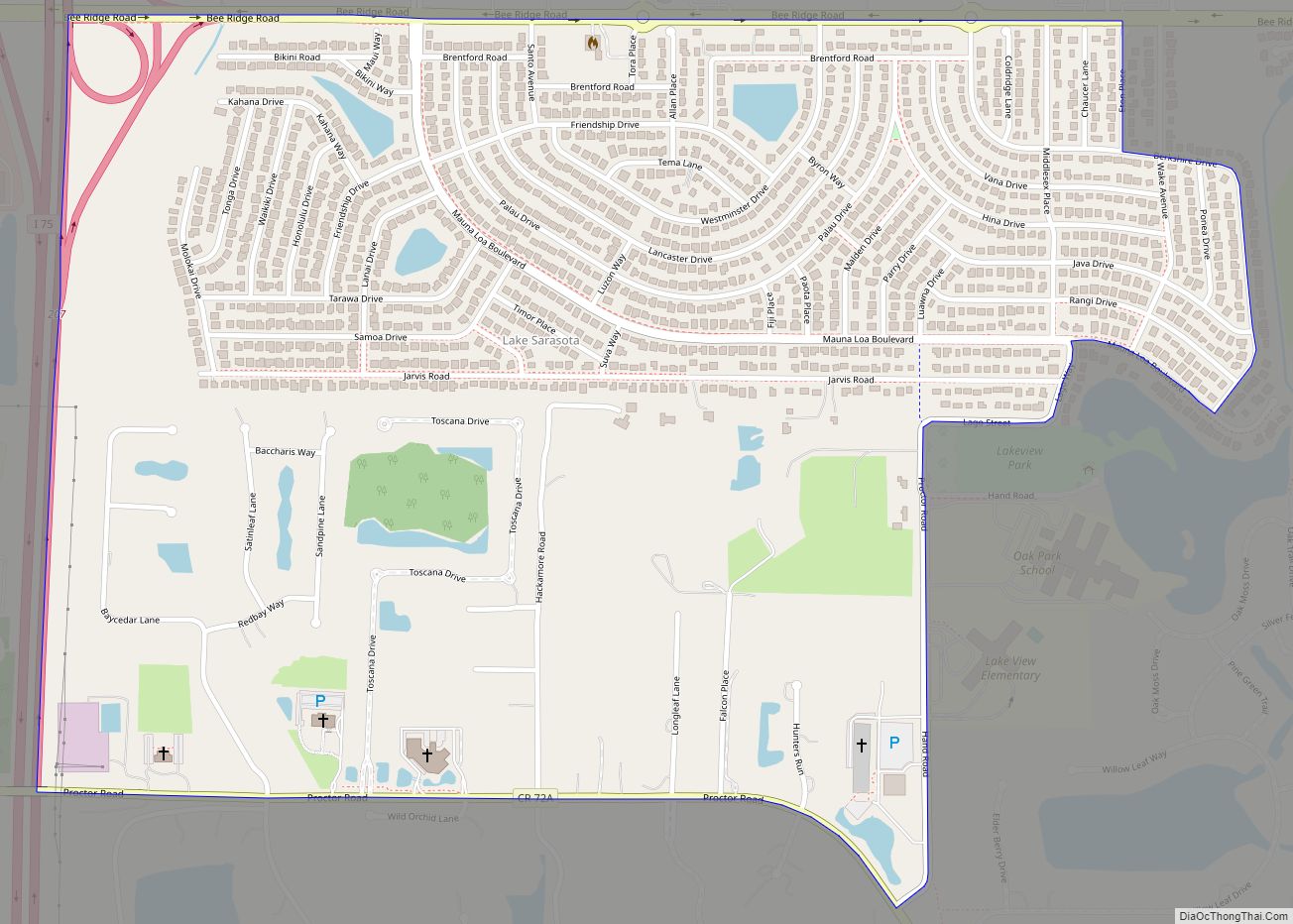
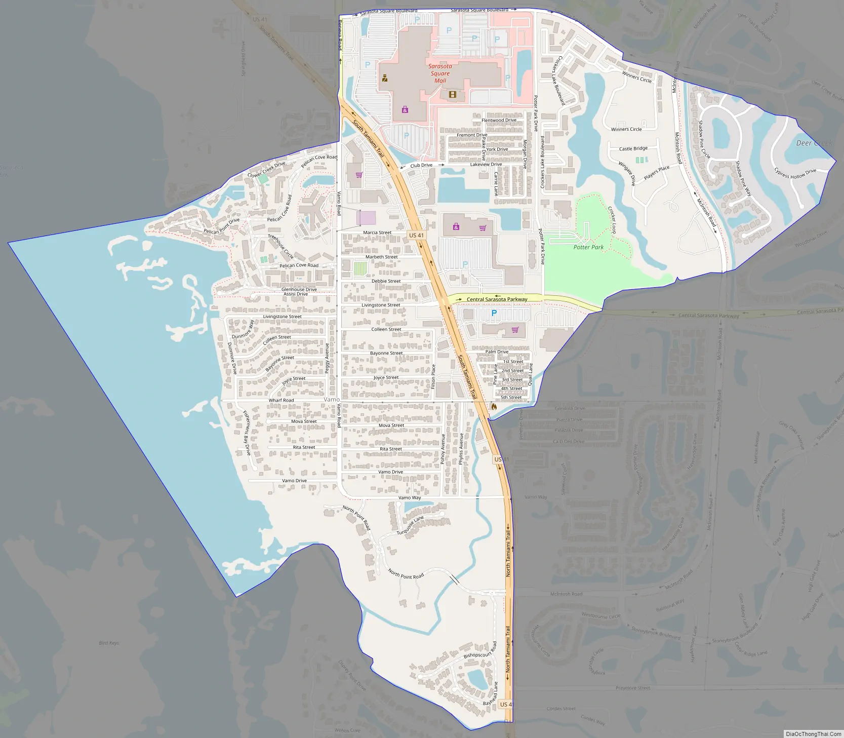
Online Interactive Map
Click on ![]() to view map in "full screen" mode.
to view map in "full screen" mode.
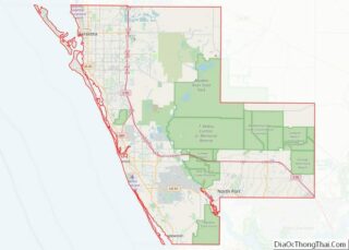
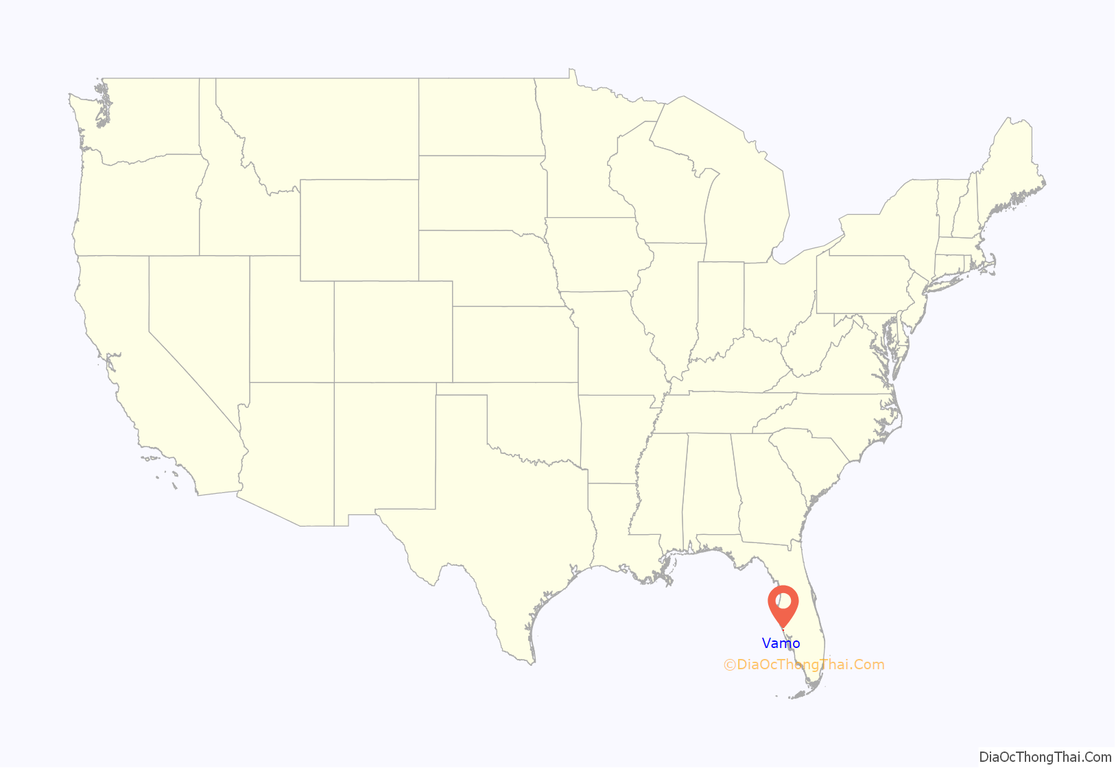
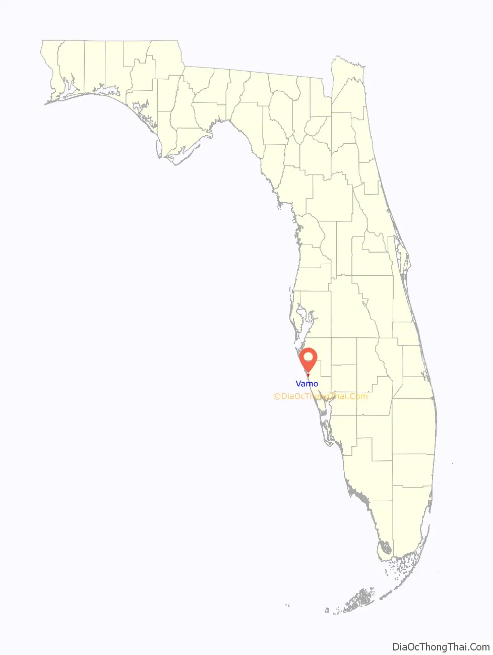
Vamo location map. Where is Vamo CDP?
History
Vamo was founded by the Webb family in 1928. They established the first home in the neighborhood on the Sarasota Bay Inlet off what is now known as Vamo Drive. This area is famous for its historic Spanish style homes. The name “Vamo” originated from the home states of Mr. and Mrs. Webb: Mrs. Webb was born in Virginia (VA), and Mr. Webb was born in Missouri (MO). There is also a street in the neighborhood named Mova Street.
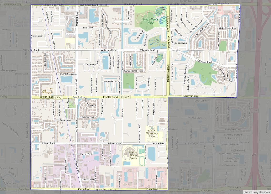
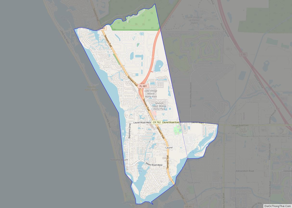
Vamo Road Map
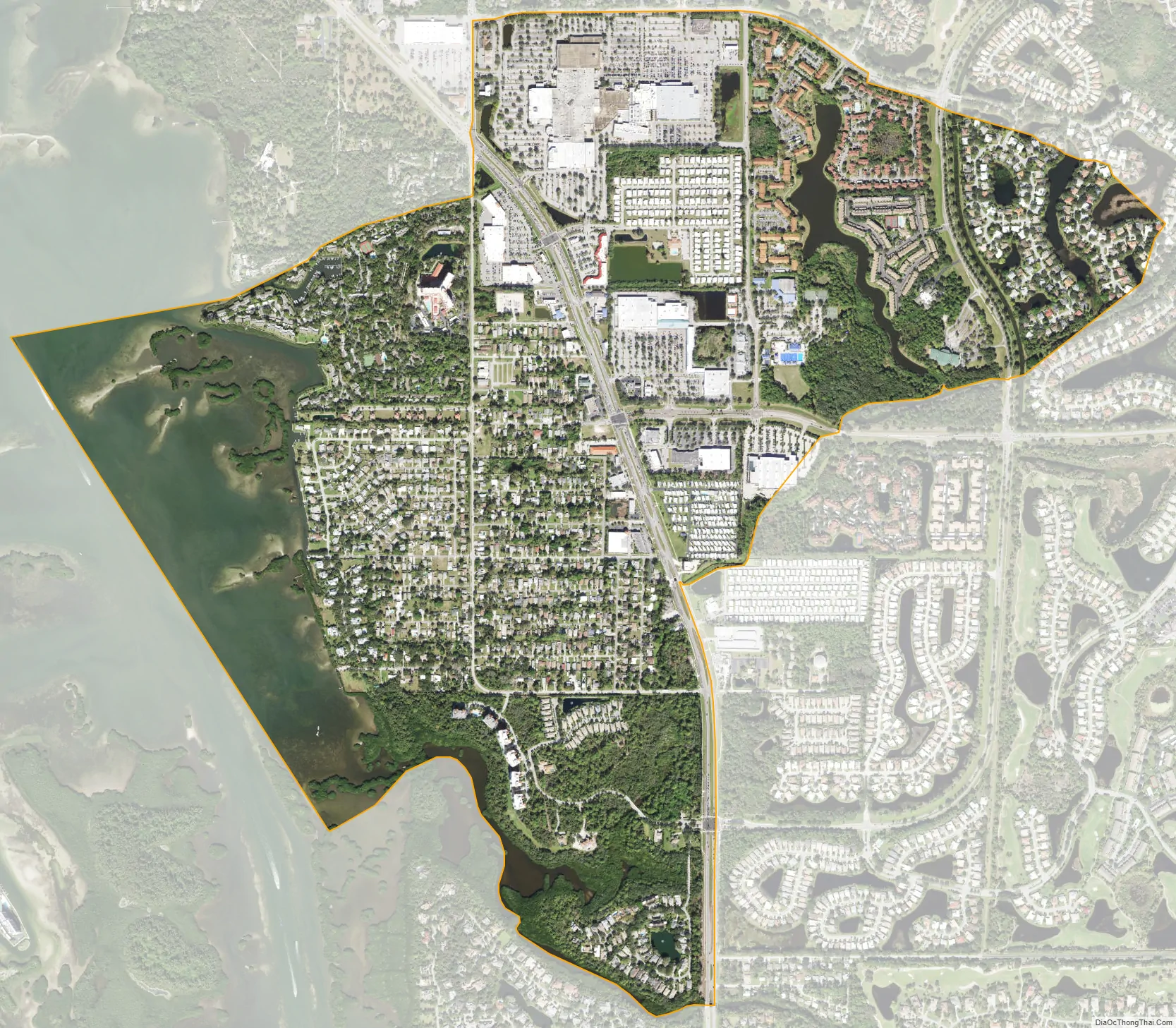
Vamo city Satellite Map
Geography
Vamo is located at 27°13′34″N 82°29′44″W / 27.22611°N 82.49556°W / 27.22611; -82.49556 (27.225978, -82.495568).
According to the United States Census Bureau, the CDP has a total area of 1.9 square miles (4.9 km), of which 1.5 square miles (3.8 km) is land and 0.39 square miles (1.0 km), or 21.09%, is water.
See also
Map of Florida State and its subdivision:- Alachua
- Baker
- Bay
- Bradford
- Brevard
- Broward
- Calhoun
- Charlotte
- Citrus
- Clay
- Collier
- Columbia
- Desoto
- Dixie
- Duval
- Escambia
- Flagler
- Franklin
- Gadsden
- Gilchrist
- Glades
- Gulf
- Hamilton
- Hardee
- Hendry
- Hernando
- Highlands
- Hillsborough
- Holmes
- Indian River
- Jackson
- Jefferson
- Lafayette
- Lake
- Lee
- Leon
- Levy
- Liberty
- Madison
- Manatee
- Marion
- Martin
- Miami-Dade
- Monroe
- Nassau
- Okaloosa
- Okeechobee
- Orange
- Osceola
- Palm Beach
- Pasco
- Pinellas
- Polk
- Putnam
- Saint Johns
- Saint Lucie
- Santa Rosa
- Sarasota
- Seminole
- Sumter
- Suwannee
- Taylor
- Union
- Volusia
- Wakulla
- Walton
- Washington
- Alabama
- Alaska
- Arizona
- Arkansas
- California
- Colorado
- Connecticut
- Delaware
- District of Columbia
- Florida
- Georgia
- Hawaii
- Idaho
- Illinois
- Indiana
- Iowa
- Kansas
- Kentucky
- Louisiana
- Maine
- Maryland
- Massachusetts
- Michigan
- Minnesota
- Mississippi
- Missouri
- Montana
- Nebraska
- Nevada
- New Hampshire
- New Jersey
- New Mexico
- New York
- North Carolina
- North Dakota
- Ohio
- Oklahoma
- Oregon
- Pennsylvania
- Rhode Island
- South Carolina
- South Dakota
- Tennessee
- Texas
- Utah
- Vermont
- Virginia
- Washington
- West Virginia
- Wisconsin
- Wyoming