Wimauma is an unincorporated census-designated place in Hillsborough County, Florida, United States. The population was 6,373 at the 2010 census, up from 4,246 at the 2000 census.
| Name: | Wimauma CDP |
|---|---|
| LSAD Code: | 57 |
| LSAD Description: | CDP (suffix) |
| State: | Florida |
| County: | Hillsborough County |
| Incorporated: | 1925 (but no longer active) |
| Elevation: | 102 ft (31 m) |
| Total Area: | 25.28 sq mi (65.47 km²) |
| Land Area: | 25.03 sq mi (64.83 km²) |
| Water Area: | 0.25 sq mi (0.64 km²) |
| Total Population: | 9,467 |
| Population Density: | 378.21/sq mi (146.03/km²) |
| ZIP code: | 33598 |
| Area code: | 813 |
| FIPS code: | 1278025 |
| GNISfeature ID: | 0293391 |
Online Interactive Map
Click on ![]() to view map in "full screen" mode.
to view map in "full screen" mode.
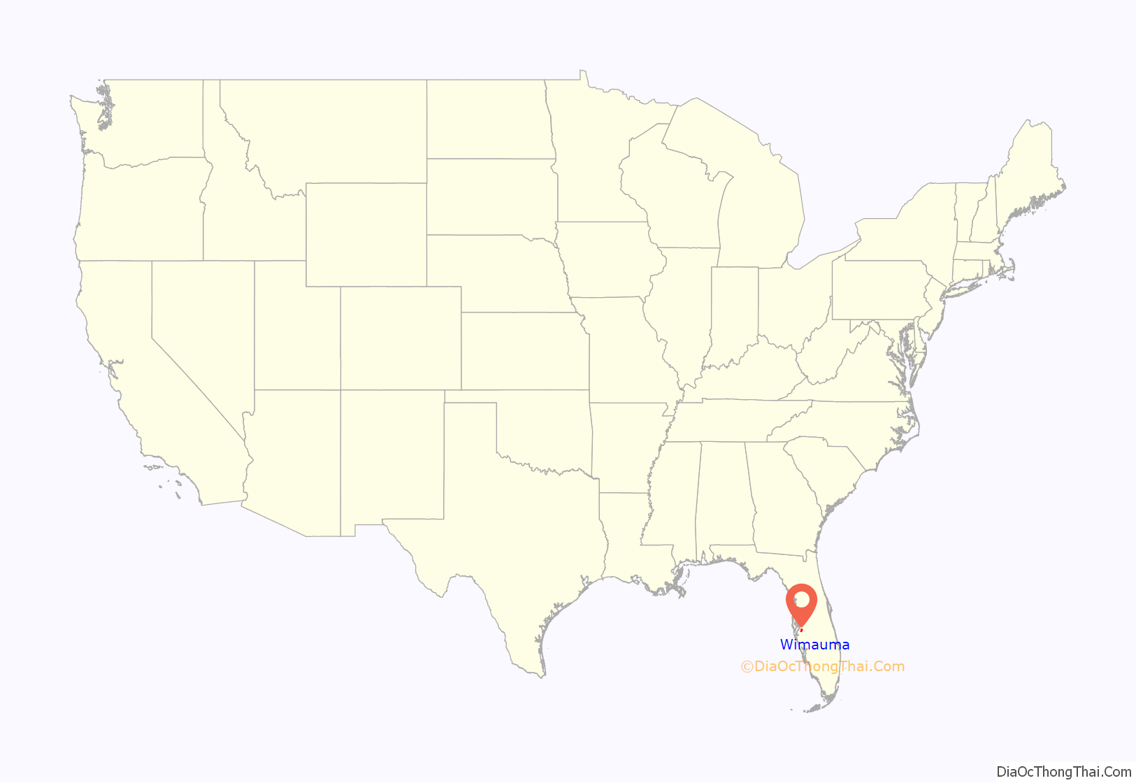
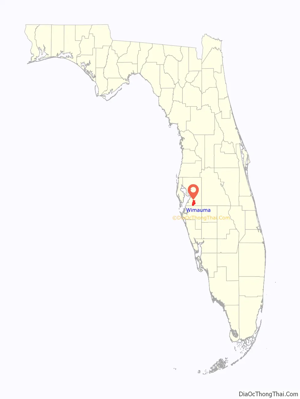
Wimauma location map. Where is Wimauma CDP?
History
Wimauma was founded by Captain C.H. Davis in 1902. Davis named the town using the first few letters of the names of his daughters Will, Maude, and Mary. Wimauma was located on a 55-mile (89 km) railroad route that was built south from Durant to Manatee County and into Sarasota, with construction starting in 1895. It was incorporated in 1902 as the United States & West Indies Railroad and Steamship Company. It became the Florida West Shore Railway on May 9, 1903 and then merged into the Seaboard Air Line Railroad in 1909. In 1902, Capt. Davis helped to build the railroad connecting Turkey Creek and Bradenton. He decided to found a town at the halfway point, opening a post office there on October 24, 1902. The town had the railroad tracks as the eastern boundary and was centered on Lake Tiger, now called Lake Wimauma. A railroad depot was constructed in 1903. The town was officially incorporated in 1925 as the county’s fourth municipality, but the city government ceased to function some time in the 1930s. In 1993, this fact was rediscovered, but it was concluded that the incorporation was no longer valid after about 60 years without a city government. The railroad depot in Wimauma served as a passenger stop until 1968. The railroad tracks were removed in 1984, and the station had been razed years before this removal.
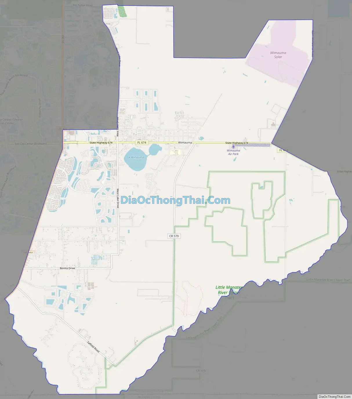
Wimauma Road Map
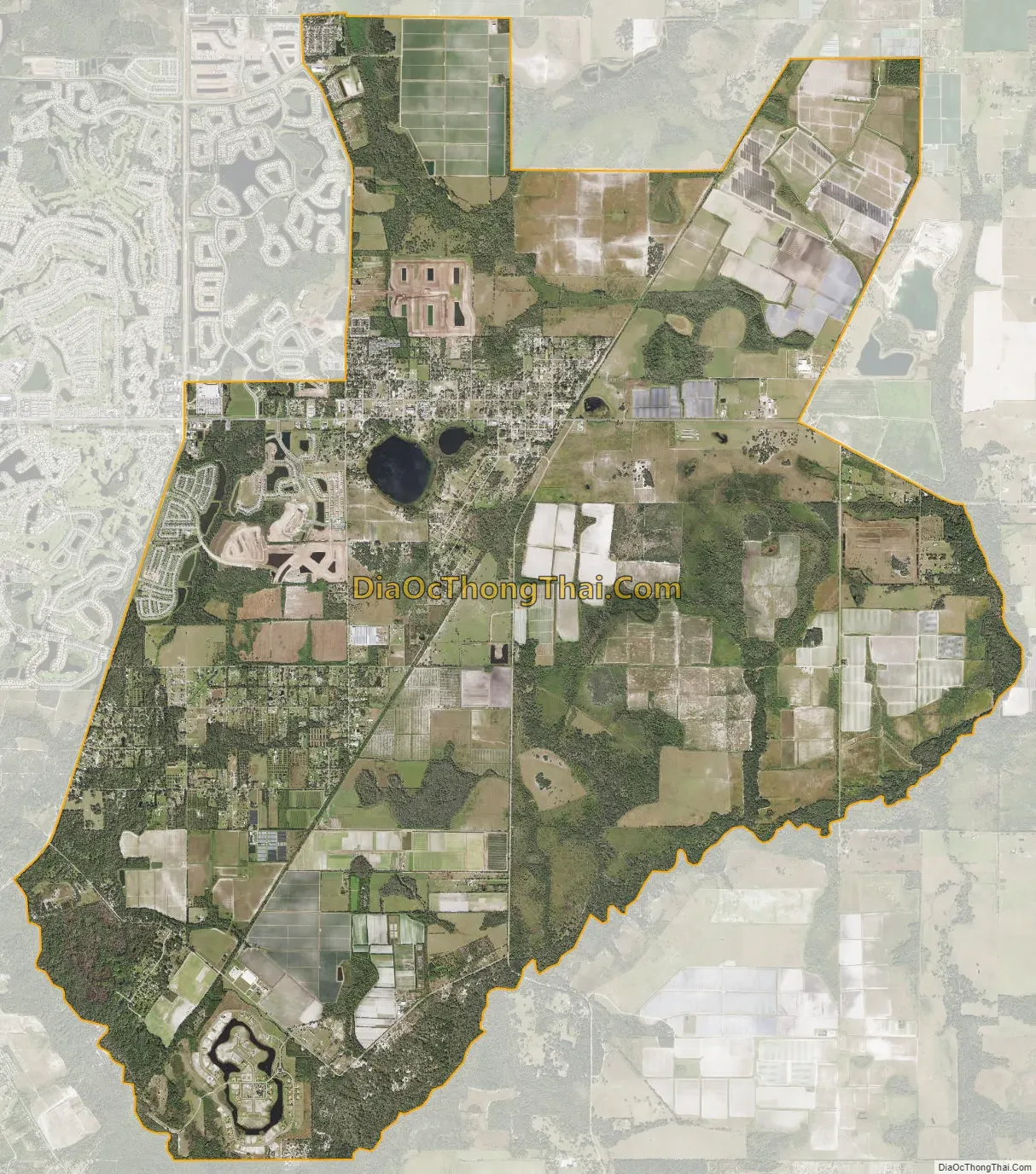
Wimauma city Satellite Map
Geography
Wimauma is bordered to the north by Balm, to the west by Sun City Center, and to the south by Manatee County. U.S. Route 301 forms part of the western border of the community, leading north 19 miles (31 km) to the Brandon–Tampa area and southwest 24 miles (39 km) to Bradenton. Florida State Road 674 runs through the center of Wimauma, leading east 9 miles (14 km) to Fort Lonesome and west through Sun City Center 9 miles to Ruskin.
According to the United States Census Bureau, the Wimauma CDP has a total area of 25.3 square miles (65.5 km), of which 25.0 square miles (64.8 km) land and 0.2 square miles (0.6 km), or 0.99%, are water.
See also
Map of Florida State and its subdivision:- Alachua
- Baker
- Bay
- Bradford
- Brevard
- Broward
- Calhoun
- Charlotte
- Citrus
- Clay
- Collier
- Columbia
- Desoto
- Dixie
- Duval
- Escambia
- Flagler
- Franklin
- Gadsden
- Gilchrist
- Glades
- Gulf
- Hamilton
- Hardee
- Hendry
- Hernando
- Highlands
- Hillsborough
- Holmes
- Indian River
- Jackson
- Jefferson
- Lafayette
- Lake
- Lee
- Leon
- Levy
- Liberty
- Madison
- Manatee
- Marion
- Martin
- Miami-Dade
- Monroe
- Nassau
- Okaloosa
- Okeechobee
- Orange
- Osceola
- Palm Beach
- Pasco
- Pinellas
- Polk
- Putnam
- Saint Johns
- Saint Lucie
- Santa Rosa
- Sarasota
- Seminole
- Sumter
- Suwannee
- Taylor
- Union
- Volusia
- Wakulla
- Walton
- Washington
- Alabama
- Alaska
- Arizona
- Arkansas
- California
- Colorado
- Connecticut
- Delaware
- District of Columbia
- Florida
- Georgia
- Hawaii
- Idaho
- Illinois
- Indiana
- Iowa
- Kansas
- Kentucky
- Louisiana
- Maine
- Maryland
- Massachusetts
- Michigan
- Minnesota
- Mississippi
- Missouri
- Montana
- Nebraska
- Nevada
- New Hampshire
- New Jersey
- New Mexico
- New York
- North Carolina
- North Dakota
- Ohio
- Oklahoma
- Oregon
- Pennsylvania
- Rhode Island
- South Carolina
- South Dakota
- Tennessee
- Texas
- Utah
- Vermont
- Virginia
- Washington
- West Virginia
- Wisconsin
- Wyoming


