Terrytown is an unincorporated community and census-designated place (CDP) in Jefferson Parish, Louisiana, United States. It is on the “Westbank” (to the south) of the Mississippi River. It is a suburb within the New Orleans–Metairie–Kenner metropolitan statistical area. The population was 23,319 at the 2010 census, and 25,278 in 2020.
Terrytown was opened to a media tour on March 5, 1960, showcasing the newest of concepts in home construction at the time, with the original homes having all plumbing in one wall. The community was opened to the public and considered founded on March 6, 1960, by subdivision developer Paul Kapelow, who named the town after his first daughter, Terry Kapelow. Terrytown includes Oakwood Center, a major shopping mall in the New Orleans metropolitan area.
| Name: | Terrytown CDP |
|---|---|
| LSAD Code: | 57 |
| LSAD Description: | CDP (suffix) |
| State: | Louisiana |
| County: | Jefferson Parish |
| Total Area: | 3.70 sq mi (9.57 km²) |
| Land Area: | 3.66 sq mi (9.49 km²) |
| Water Area: | 0.03 sq mi (0.08 km²) |
| Total Population: | 25,278 |
| Population Density: | 6,899.02/sq mi (2,663.80/km²) |
| ZIP code: | 70056 |
| Area code: | 504 |
| FIPS code: | 2275180 |
| GNISfeature ID: | 539830 |
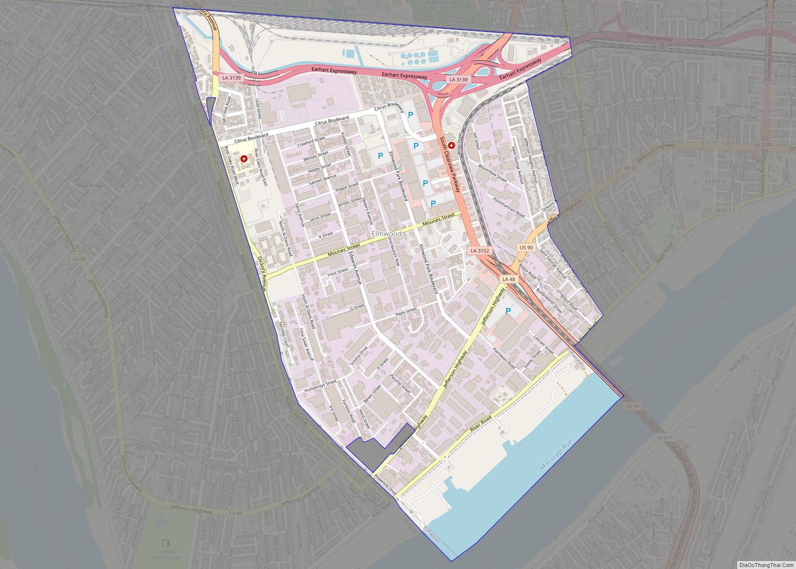
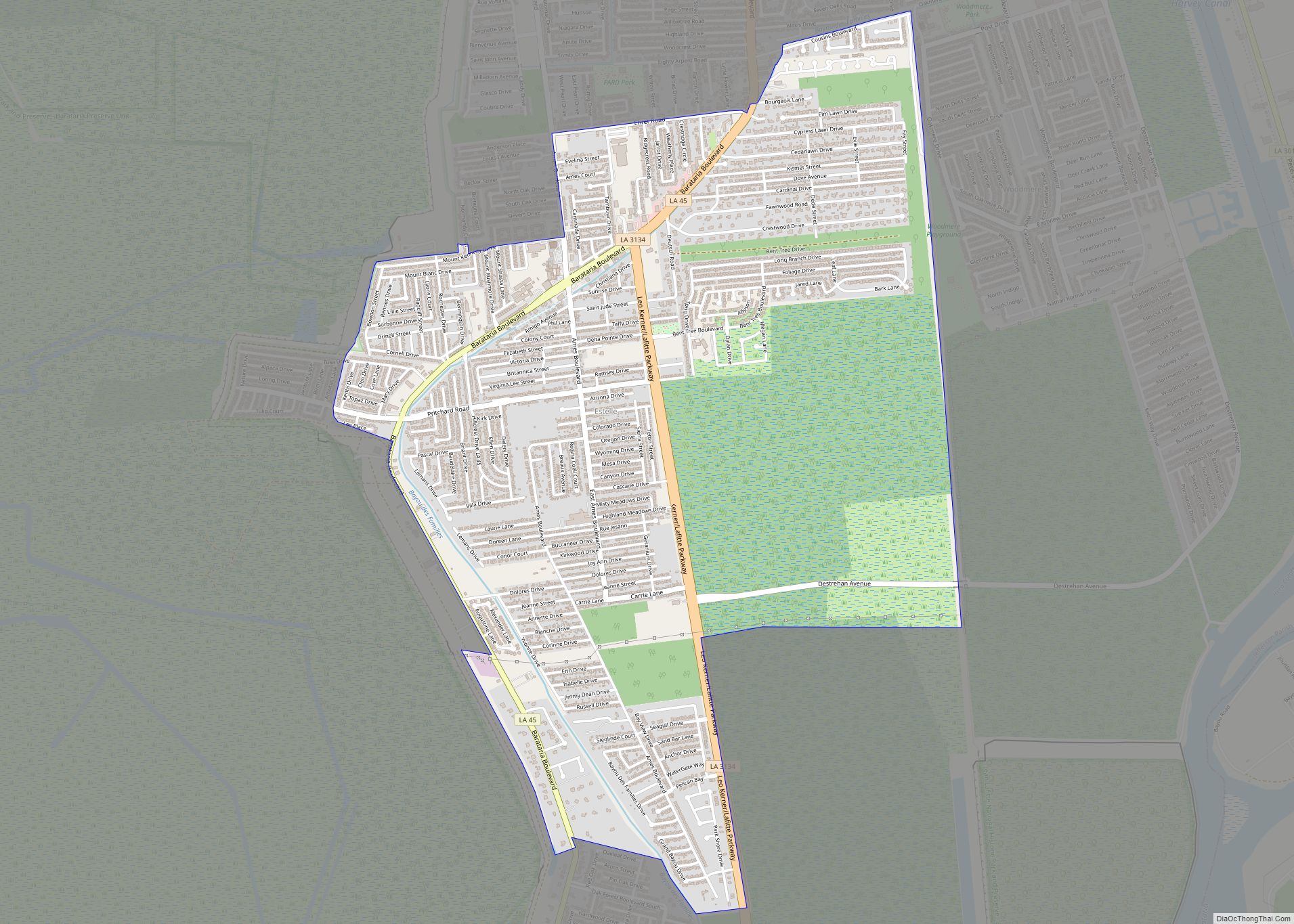
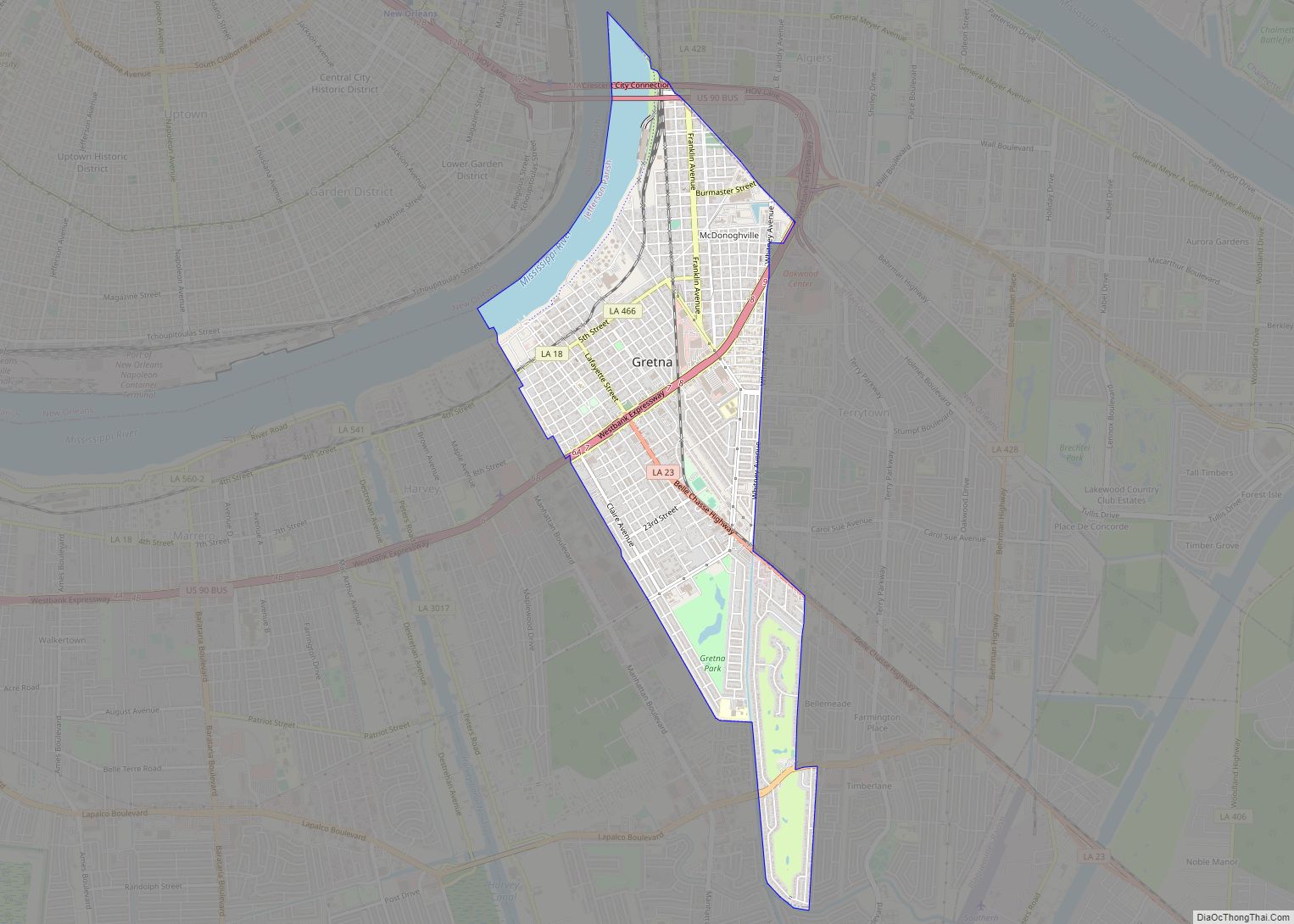
Online Interactive Map
Click on ![]() to view map in "full screen" mode.
to view map in "full screen" mode.
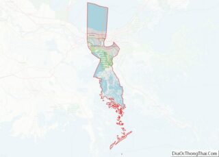
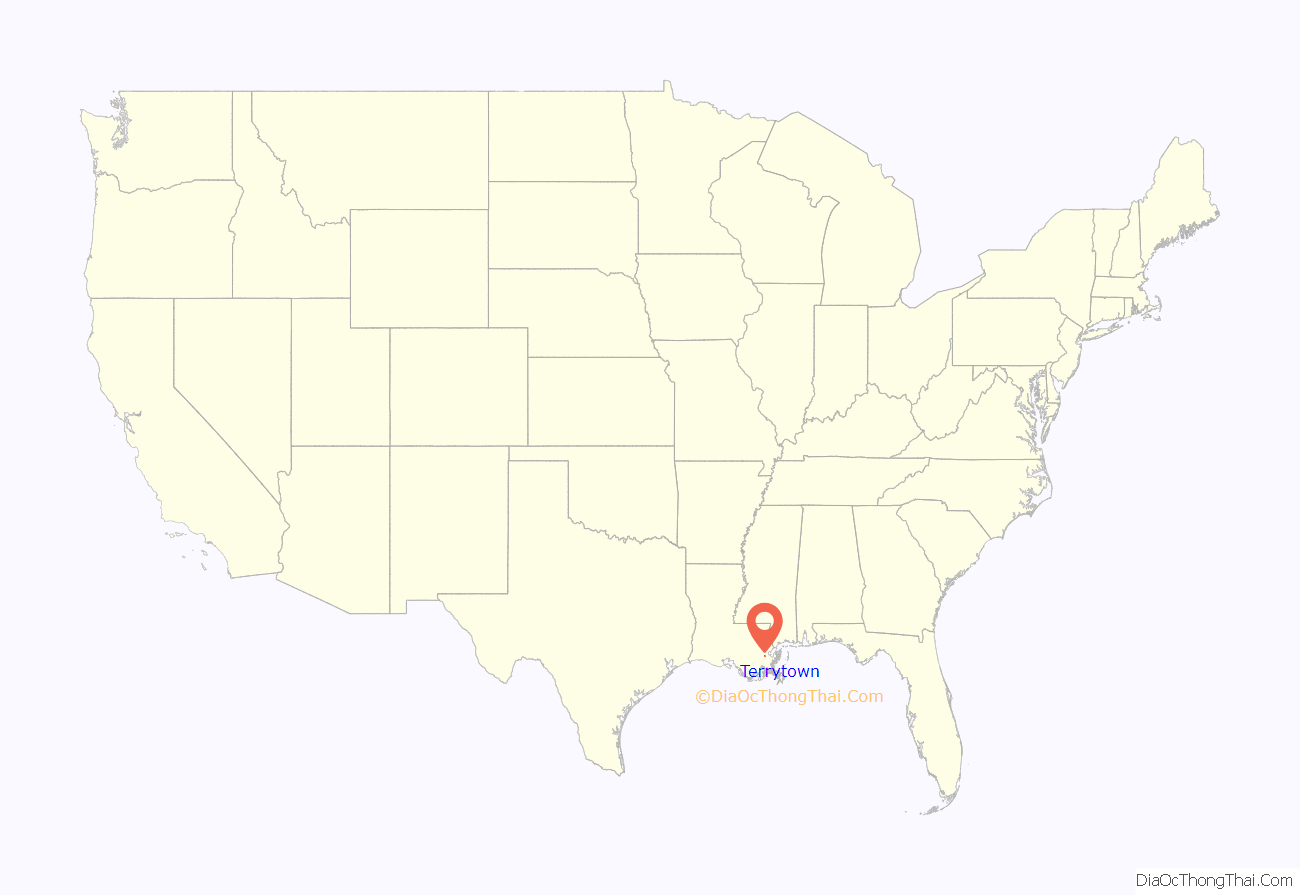
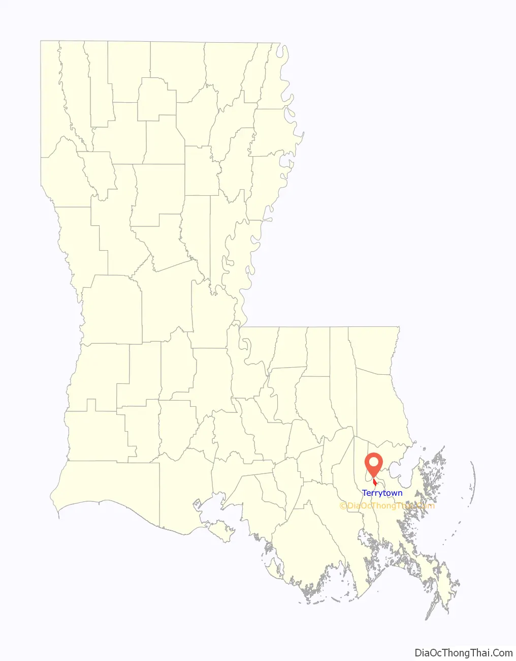
Terrytown location map. Where is Terrytown CDP?
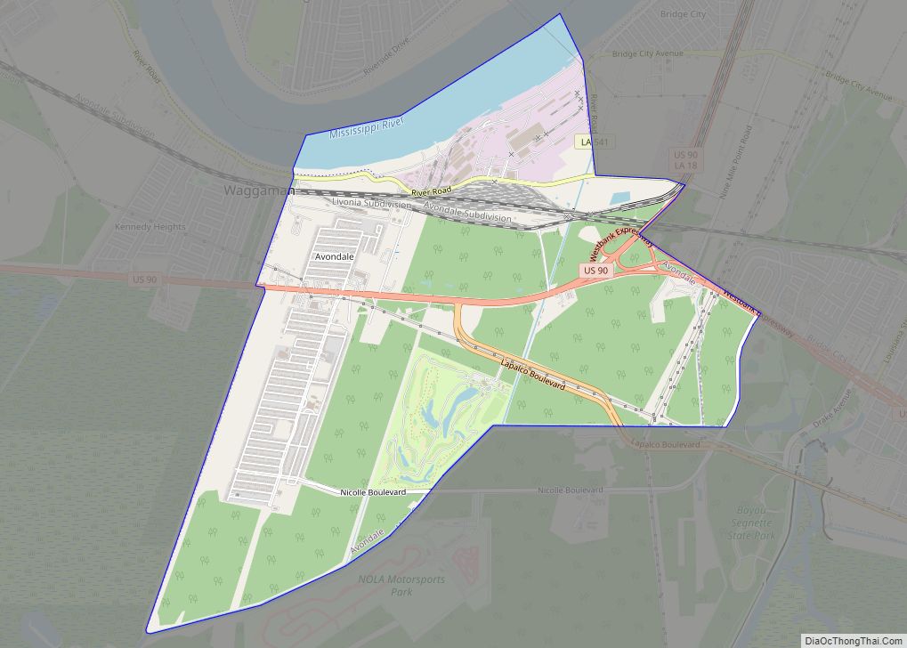
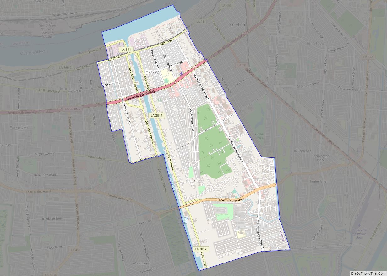
Terrytown Road Map

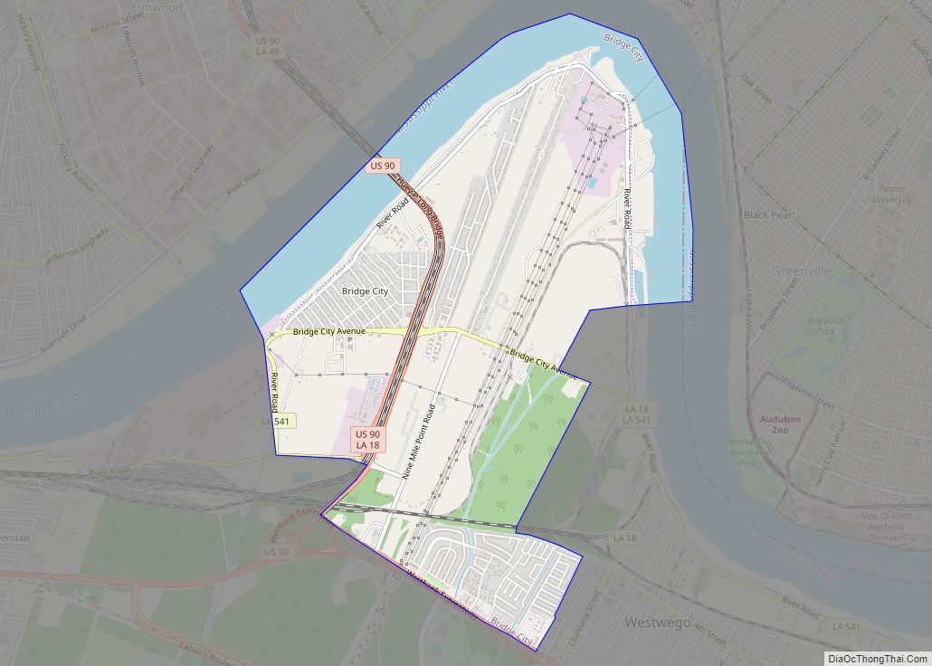
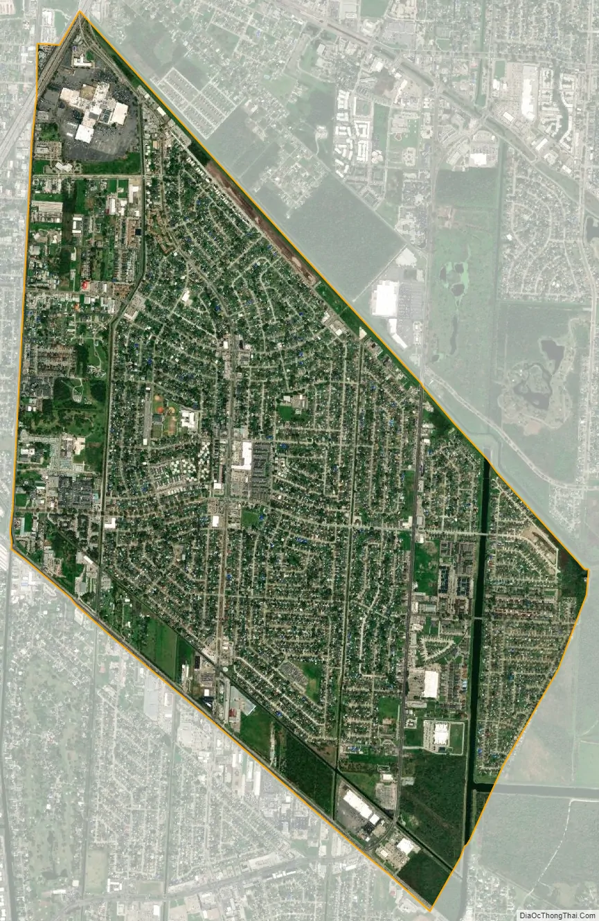
Terrytown city Satellite Map
Geography
Terrytown is located on the eastern edge of Jefferson Parish at 29°54′8″N 90°1′46″W / 29.90222°N 90.02944°W / 29.90222; -90.02944 (29.902356, -90.029475). It is bordered to the northeast by New Orleans in Orleans Parish, to the west by Gretna, to the south by Timberlane, and to the southeast by Belle Chasse in Plaquemines Parish. According to the United States Census Bureau, the Terrytown CDP has a total area of 3.72 square miles (9.64 km), of which 3.68 square miles (9.52 km) are land and 0.05 square miles (0.12 km), or 1.24%, are water.
Louisiana Highway 23 (Belle Chasse Highway) forms the southwest border of Terrytown, and Highway 428 (Behrman Highway) runs through the eastern part of the community. The two main intersecting streets in Terrytown are Terry Parkway, running north and south, and Carol Sue Avenue (named for Paul Kapelow’s second daughter, Carol Sue Kapelow), running east and west.
See also
Map of Louisiana State and its subdivision:- Acadia
- Allen
- Ascension
- Assumption
- Avoyelles
- Beauregard
- Bienville
- Bossier
- Caddo
- Calcasieu
- Caldwell
- Cameron
- Catahoula
- Claiborne
- Concordia
- De Soto
- East Baton Rouge
- East Carroll
- East Feliciana
- Evangeline
- Franklin
- Grant
- Iberia
- Iberville
- Jackson
- Jefferson
- Jefferson Davis
- La Salle
- Lafayette
- Lafourche
- Lincoln
- Livingston
- Madison
- Morehouse
- Natchitoches
- Orleans
- Ouachita
- Plaquemines
- Pointe Coupee
- Rapides
- Red River
- Richland
- Sabine
- Saint Bernard
- Saint Charles
- Saint Helena
- Saint James
- Saint John the Baptist
- Saint Landry
- Saint Martin
- Saint Mary
- Saint Tammany
- Tangipahoa
- Tensas
- Terrebonne
- Union
- Vermilion
- Vernon
- Washington
- Webster
- West Baton Rouge
- West Carroll
- West Feliciana
- Winn
- Alabama
- Alaska
- Arizona
- Arkansas
- California
- Colorado
- Connecticut
- Delaware
- District of Columbia
- Florida
- Georgia
- Hawaii
- Idaho
- Illinois
- Indiana
- Iowa
- Kansas
- Kentucky
- Louisiana
- Maine
- Maryland
- Massachusetts
- Michigan
- Minnesota
- Mississippi
- Missouri
- Montana
- Nebraska
- Nevada
- New Hampshire
- New Jersey
- New Mexico
- New York
- North Carolina
- North Dakota
- Ohio
- Oklahoma
- Oregon
- Pennsylvania
- Rhode Island
- South Carolina
- South Dakota
- Tennessee
- Texas
- Utah
- Vermont
- Virginia
- Washington
- West Virginia
- Wisconsin
- Wyoming