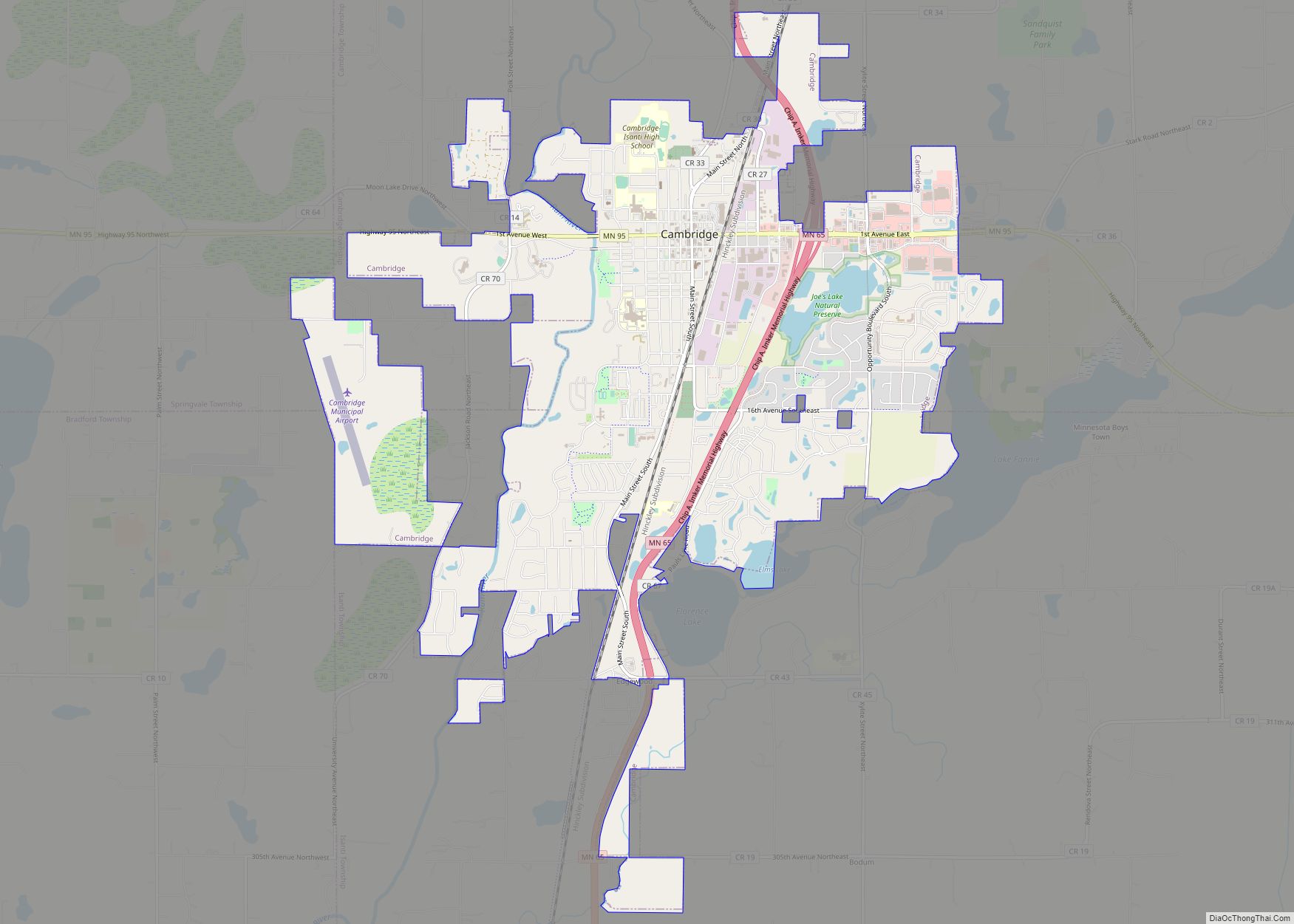
Cambridge is a city in Isanti County, Minnesota, United States, located at the junction of Minnesota State Highways 65 and 95. The population was 9,611 at the 2020 census. It is the county seat of Isanti County. It is located along the Rum River and BNSF’s Hinckley Subdivision. Cambridge is notable for having the highest percentage of Swedish Americans of any city in the United States with a population of over 5,000 people.
| Name: | Cambridge city |
|---|---|
| LSAD Code: | 25 |
| LSAD Description: | city (suffix) |
| State: | Minnesota |
| County: | Isanti County |
| Founded: | 1866 |
| Incorporated: | 1877 |
| Elevation: | 961 ft (293 m) |
| Total Area: | 7.77 sq mi (20.11 km²) |
| Land Area: | 7.48 sq mi (19.37 km²) |
| Water Area: | 0.29 sq mi (0.74 km²) |
| Total Population: | 9,611 |
| Population Density: | 1,284.89/sq mi (496.12/km²) |
| ZIP code: | 55008 |
| Area code: | 763 |
| FIPS code: | 2709370 |
| GNISfeature ID: | 0640789 |
| Website: | ci.cambridge.mn.us |
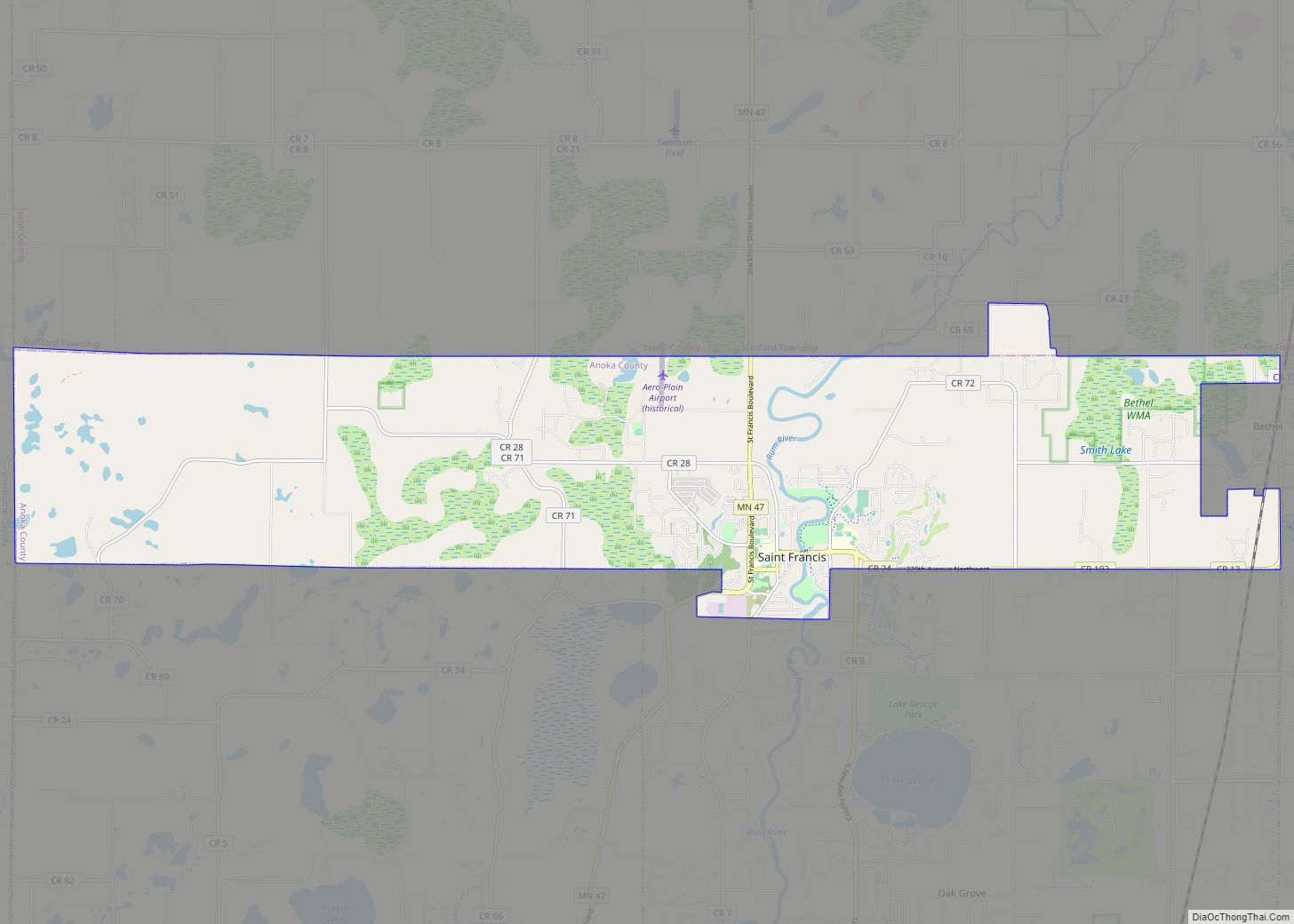
Online Interactive Map
Click on ![]() to view map in "full screen" mode.
to view map in "full screen" mode.
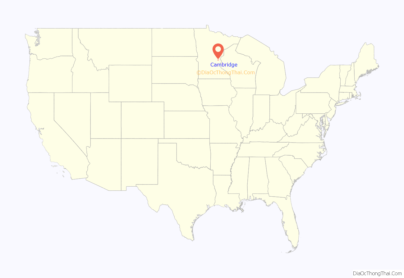
Cambridge location map. Where is Cambridge city?
History
The city of Cambridge was established in the late 19th century along the railroad from Minneapolis to Duluth. It was named by, and originally settled by, immigrants from New England. These were “Yankee” settlers, that is to say they were descended from the English Puritans who settled New England during the colonial era. The same population founded and named the town of Princeton nearby. Later on the surrounding area would be heavily populated with Swedish, and German, immigrants.
The city of Cambridge was incorporated in 1877.
In the early 20th century, Cambridge had a potato starch factory, a 1,301-barrel flour mill, a wool carding and spinning mill, an electric lighting plant, and local and long-distance telephone systems.
The Cambridge station served passenger trains until 1985.
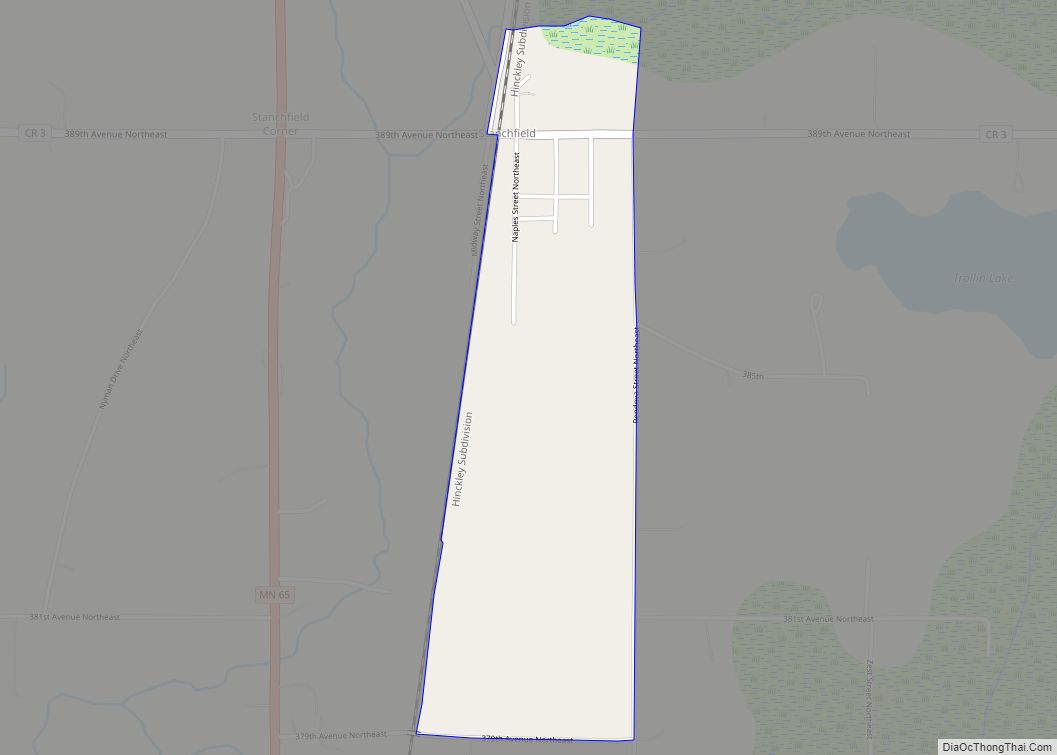
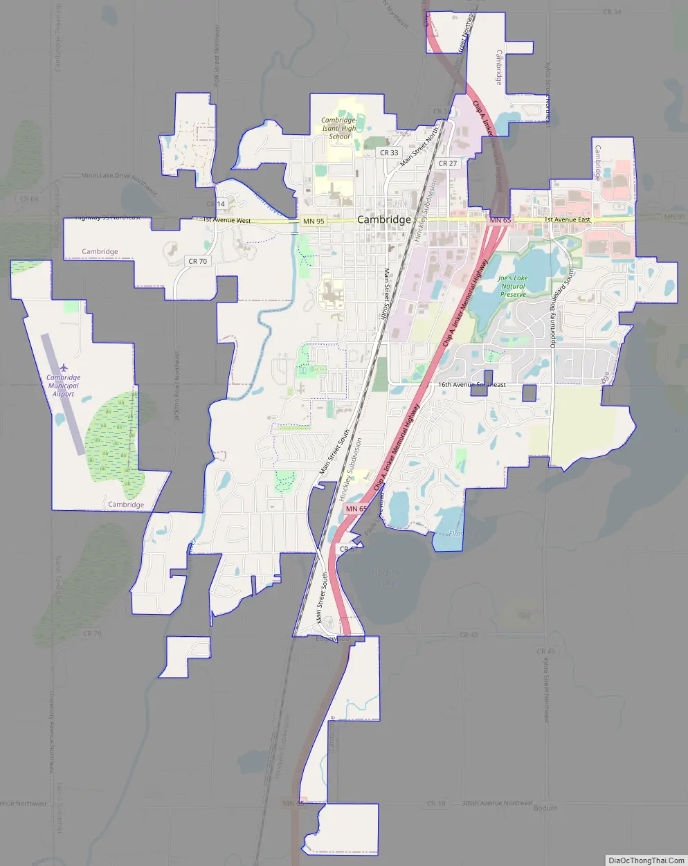
Cambridge Road Map
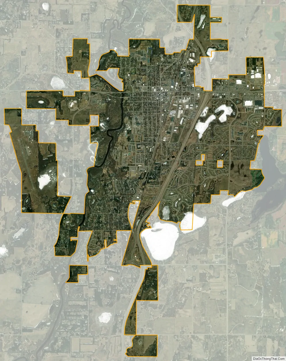
Cambridge city Satellite Map
Geography
According to the United States Census Bureau, the city has a total area of 7.68 square miles (19.89 km), of which 7.46 square miles (19.32 km) is land and 0.22 square miles (0.57 km) is water.
The Rum River flows north to south through the middle of Cambridge. Camping, canoeing, and fishing are popular attractions of the Rum River.
Major highways
The following routes are located within the city of Cambridge.
- Minnesota State Highway 65
- Minnesota State Highway 95
See also
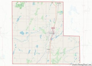
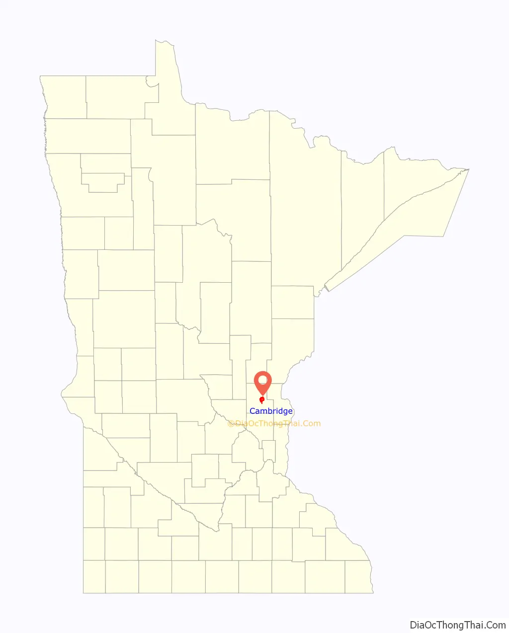
Map of Minnesota State and its subdivision:- Aitkin
- Anoka
- Becker
- Beltrami
- Benton
- Big Stone
- Blue Earth
- Brown
- Carlton
- Carver
- Cass
- Chippewa
- Chisago
- Clay
- Clearwater
- Cook
- Cottonwood
- Crow Wing
- Dakota
- Dodge
- Douglas
- Faribault
- Fillmore
- Freeborn
- Goodhue
- Grant
- Hennepin
- Houston
- Hubbard
- Isanti
- Itasca
- Jackson
- Kanabec
- Kandiyohi
- Kittson
- Koochiching
- Lac qui Parle
- Lake
- Lake of the Woods
- Lake Superior
- Le Sueur
- Lincoln
- Lyon
- Mahnomen
- Marshall
- Martin
- McLeod
- Meeker
- Mille Lacs
- Morrison
- Mower
- Murray
- Nicollet
- Nobles
- Norman
- Olmsted
- Otter Tail
- Pennington
- Pine
- Pipestone
- Polk
- Pope
- Ramsey
- Red Lake
- Redwood
- Renville
- Rice
- Rock
- Roseau
- Saint Louis
- Scott
- Sherburne
- Sibley
- Stearns
- Steele
- Stevens
- Swift
- Todd
- Traverse
- Wabasha
- Wadena
- Waseca
- Washington
- Watonwan
- Wilkin
- Winona
- Wright
- Yellow Medicine
- Alabama
- Alaska
- Arizona
- Arkansas
- California
- Colorado
- Connecticut
- Delaware
- District of Columbia
- Florida
- Georgia
- Hawaii
- Idaho
- Illinois
- Indiana
- Iowa
- Kansas
- Kentucky
- Louisiana
- Maine
- Maryland
- Massachusetts
- Michigan
- Minnesota
- Mississippi
- Missouri
- Montana
- Nebraska
- Nevada
- New Hampshire
- New Jersey
- New Mexico
- New York
- North Carolina
- North Dakota
- Ohio
- Oklahoma
- Oregon
- Pennsylvania
- Rhode Island
- South Carolina
- South Dakota
- Tennessee
- Texas
- Utah
- Vermont
- Virginia
- Washington
- West Virginia
- Wisconsin
- Wyoming