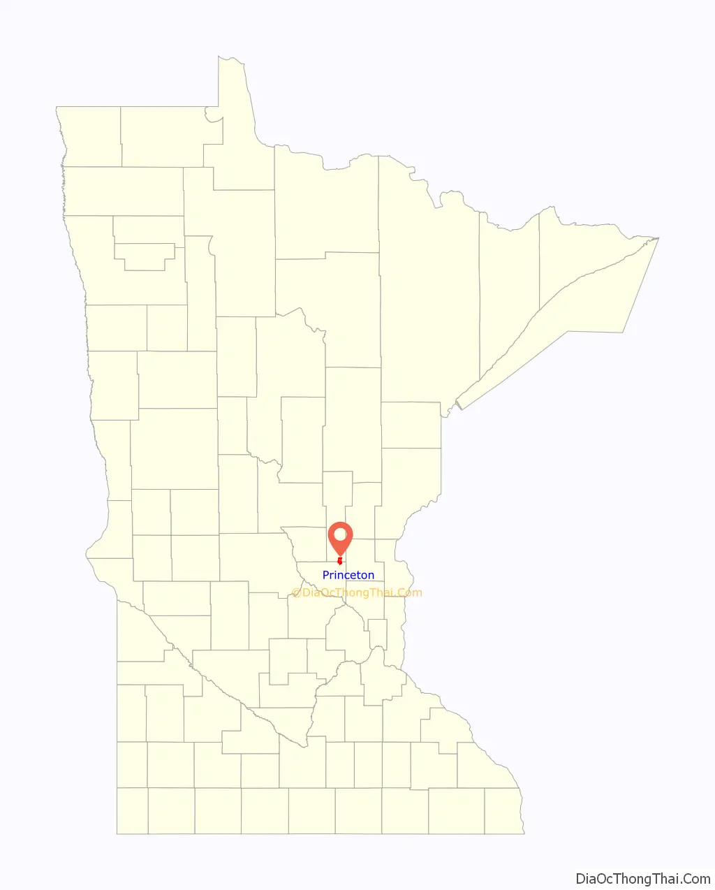
Princeton is a city in Mille Lacs and Sherburne counties in the U.S. state of Minnesota, at the junction of the Rum River and its West branch. It is 50 miles north of Minneapolis and 30 miles east of St. Cloud, at the intersection of Highways 169 and 95. The population was 4,819 at the 2020 census. A majority of its residents live in Mille Lacs County.
| Name: | Princeton city |
|---|---|
| LSAD Code: | 25 |
| LSAD Description: | city (suffix) |
| State: | Minnesota |
| County: | Mille Lacs County, Sherburne County |
| Elevation: | 981 ft (299 m) |
| Total Area: | 5.06 sq mi (13.10 km²) |
| Land Area: | 4.84 sq mi (12.53 km²) |
| Water Area: | 0.22 sq mi (0.57 km²) |
| Total Population: | 4,819 |
| Population Density: | 996.07/sq mi (384.56/km²) |
| ZIP code: | 55371 |
| Area code: | 763 |
| FIPS code: | 2752522 |
| GNISfeature ID: | 0649738 |
| Website: | princetonmn.org |
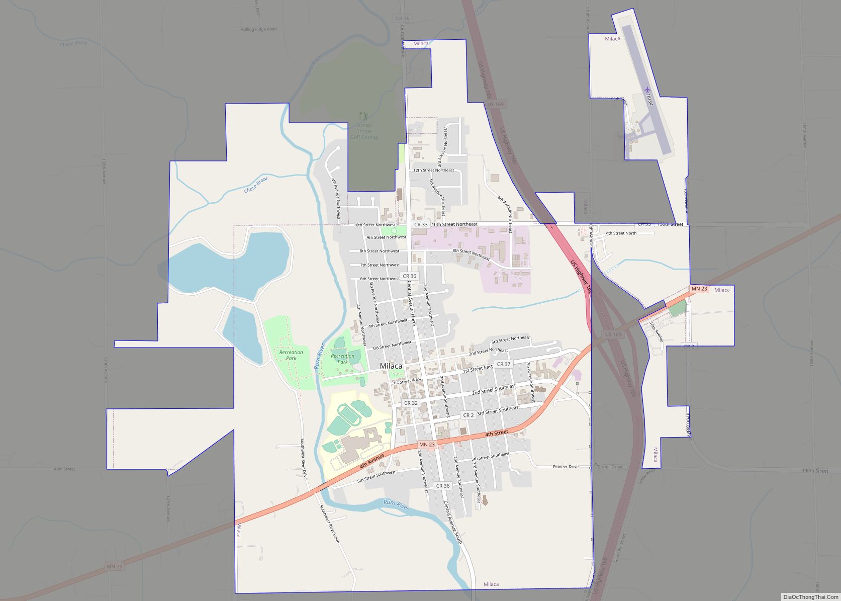
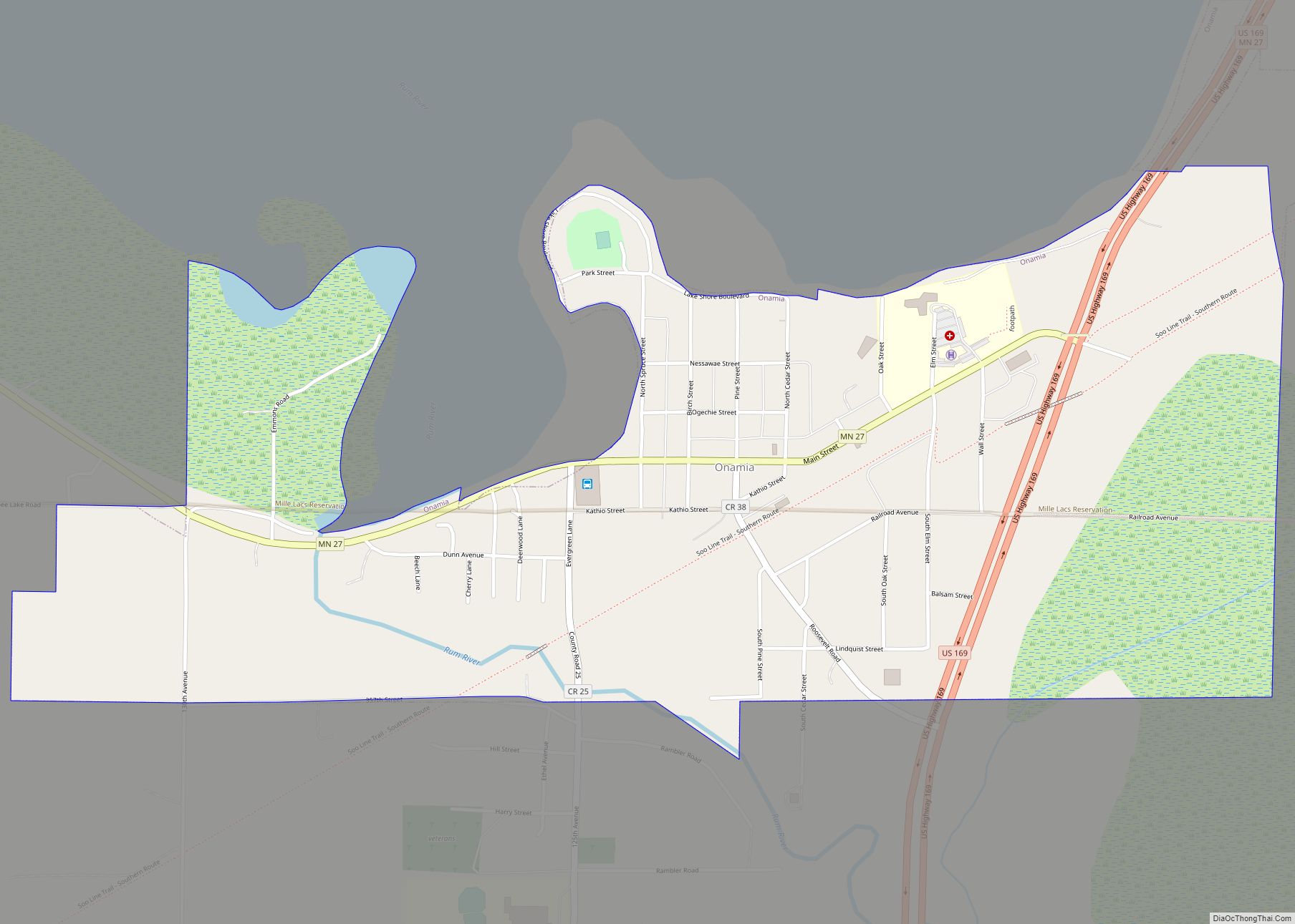
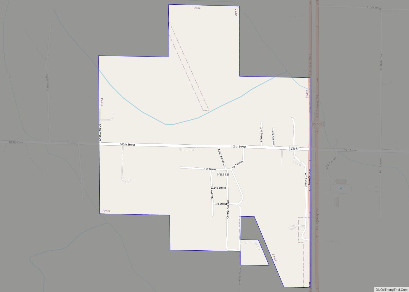
Online Interactive Map
Click on ![]() to view map in "full screen" mode.
to view map in "full screen" mode.
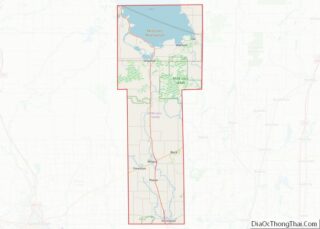
Princeton location map. Where is Princeton city?

History
In the winter of 1855 Samuel Ross, Jame W. Gillian, Dorilus Morrison, John S. Prince and Richard Chute platted the town of Princeton. The plat was officially recorded on April 19, 1856.
Lumbering
Princeton’s location near the junction of the Rum River and its West branch was critical to the town’s development. In 1847, Daniel Stanchfield led an expedition to explore the Rum River. The group discovered vast white pine forests upstream from Princeton’s future site along the Rum River, the West Branch Rum River, and their tributaries. Three sawmills were built in Princeton between 1856 and 1867. Lumbermen floated logs down the Rum River to the Princeton mills, though most of the logs passed through Princeton to mills in Minneapolis.
Brickmaking
Brick-making was another important industry in the Princeton area. The industry developed about two miles northeast of Princeton near beds of clay. A community known as Brickton formed in the location. From 1889 through the late 1920s several brickyards operated in Brickton, collectively producing as many as 20 million bricks per year. When the brick industry declined, Brickton ceased to exist. “Years after the last brick had been shipped from Brickton, specifications in contracts for construction of public buildings often stated that it should be of Princeton brick or of equally good quality.”
Other
Other important industries in Princeton’s early years included: wheat farming (before potatoes became primary), potato farming, starch production, dairy, and distilled spirits production, in which the town’s distillery continues to play a key role.
The Princeton Farmers Market has been a seasonal mainstay since 1988.
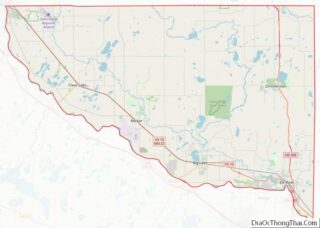
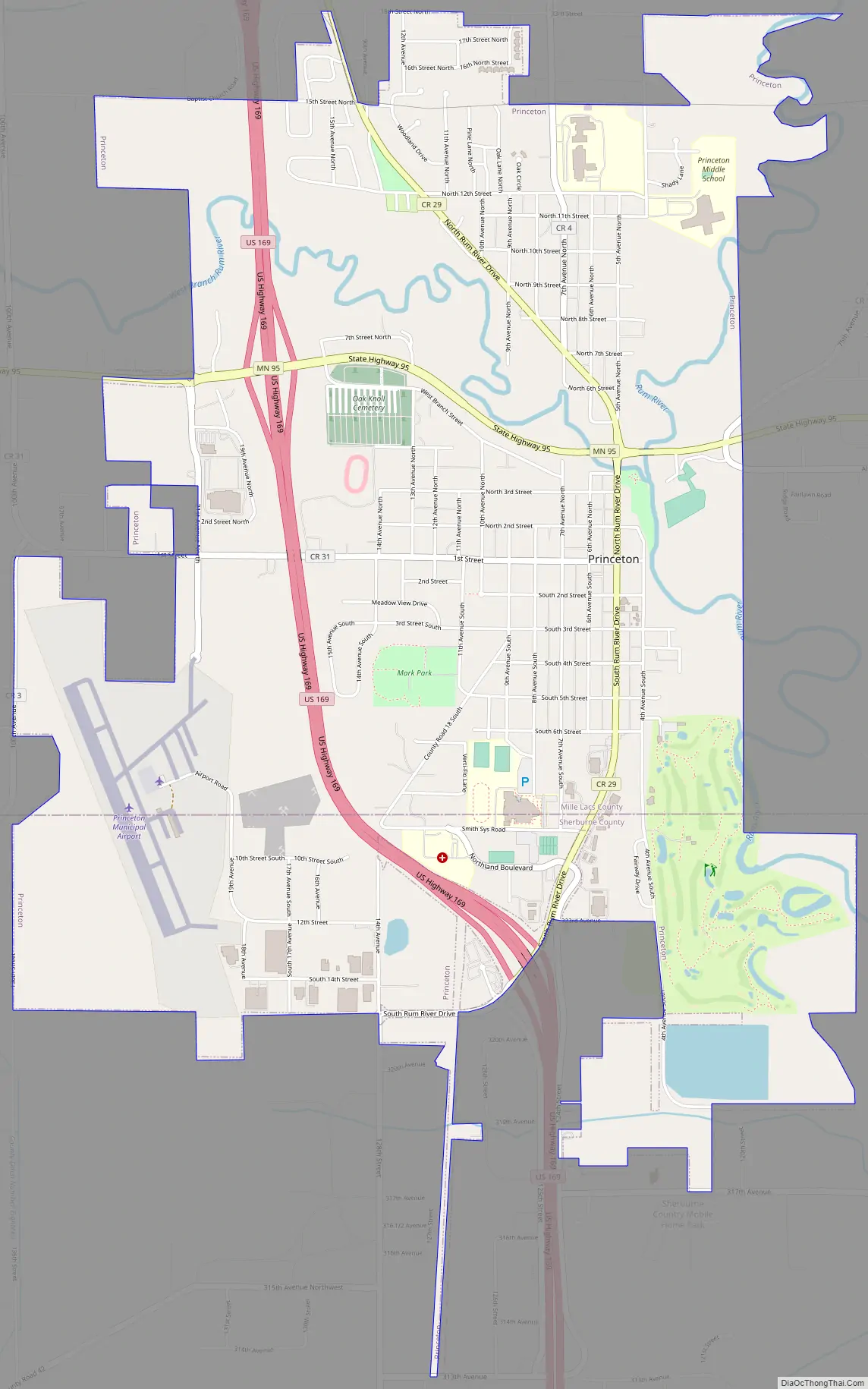
Princeton Road Map
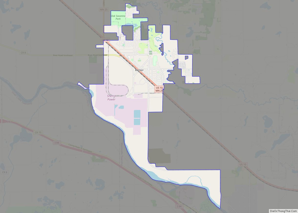
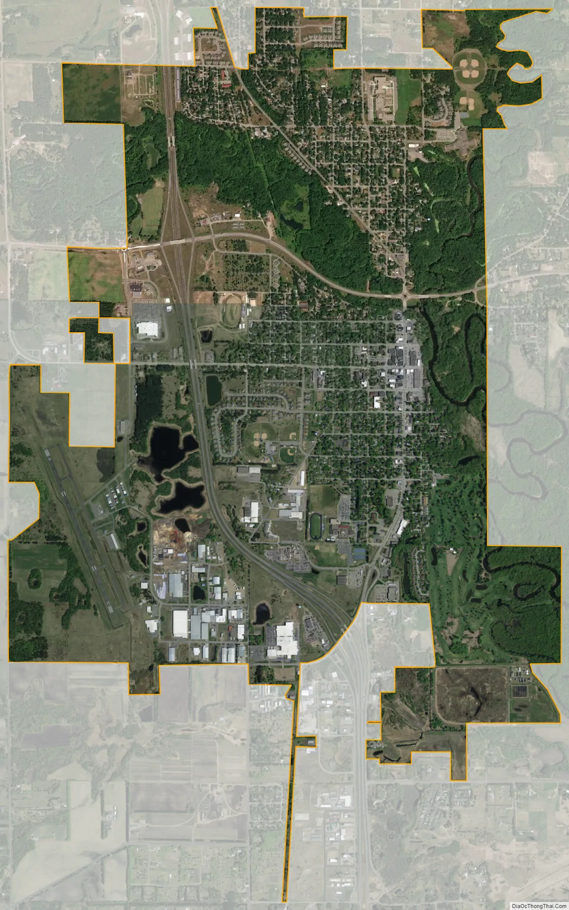
Princeton city Satellite Map
Geography
According to the United States Census Bureau, the city has a total area of 5.18 square miles (13.42 km); 4.96 square miles (12.85 km) is land and 0.22 square miles (0.57 km) is water.
See also
Map of Minnesota State and its subdivision:- Aitkin
- Anoka
- Becker
- Beltrami
- Benton
- Big Stone
- Blue Earth
- Brown
- Carlton
- Carver
- Cass
- Chippewa
- Chisago
- Clay
- Clearwater
- Cook
- Cottonwood
- Crow Wing
- Dakota
- Dodge
- Douglas
- Faribault
- Fillmore
- Freeborn
- Goodhue
- Grant
- Hennepin
- Houston
- Hubbard
- Isanti
- Itasca
- Jackson
- Kanabec
- Kandiyohi
- Kittson
- Koochiching
- Lac qui Parle
- Lake
- Lake of the Woods
- Lake Superior
- Le Sueur
- Lincoln
- Lyon
- Mahnomen
- Marshall
- Martin
- McLeod
- Meeker
- Mille Lacs
- Morrison
- Mower
- Murray
- Nicollet
- Nobles
- Norman
- Olmsted
- Otter Tail
- Pennington
- Pine
- Pipestone
- Polk
- Pope
- Ramsey
- Red Lake
- Redwood
- Renville
- Rice
- Rock
- Roseau
- Saint Louis
- Scott
- Sherburne
- Sibley
- Stearns
- Steele
- Stevens
- Swift
- Todd
- Traverse
- Wabasha
- Wadena
- Waseca
- Washington
- Watonwan
- Wilkin
- Winona
- Wright
- Yellow Medicine
- Alabama
- Alaska
- Arizona
- Arkansas
- California
- Colorado
- Connecticut
- Delaware
- District of Columbia
- Florida
- Georgia
- Hawaii
- Idaho
- Illinois
- Indiana
- Iowa
- Kansas
- Kentucky
- Louisiana
- Maine
- Maryland
- Massachusetts
- Michigan
- Minnesota
- Mississippi
- Missouri
- Montana
- Nebraska
- Nevada
- New Hampshire
- New Jersey
- New Mexico
- New York
- North Carolina
- North Dakota
- Ohio
- Oklahoma
- Oregon
- Pennsylvania
- Rhode Island
- South Carolina
- South Dakota
- Tennessee
- Texas
- Utah
- Vermont
- Virginia
- Washington
- West Virginia
- Wisconsin
- Wyoming