Coleharbor is a city in McLean County, North Dakota, United States. The population was 59 at the 2020 census. Coleharbor was founded in 1904.
| Name: | Coleharbor city |
|---|---|
| LSAD Code: | 25 |
| LSAD Description: | city (suffix) |
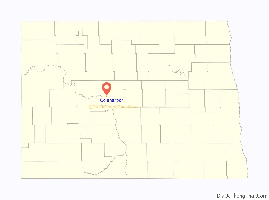
| State: | North Dakota |
| County: | McLean County |
| Founded: | 1904 |
| Elevation: | 1,906 ft (581 m) |
| Total Area: | 0.18 sq mi (0.47 km²) |
| Land Area: | 0.18 sq mi (0.47 km²) |
| Water Area: | 0.00 sq mi (0.00 km²) |
| Total Population: | 59 |
| Population Density: | 324.18/sq mi (124.88/km²) |
| ZIP code: | 58531 |
| Area code: | 701 |
| FIPS code: | 3815140 |
| GNISfeature ID: | 1028419 |
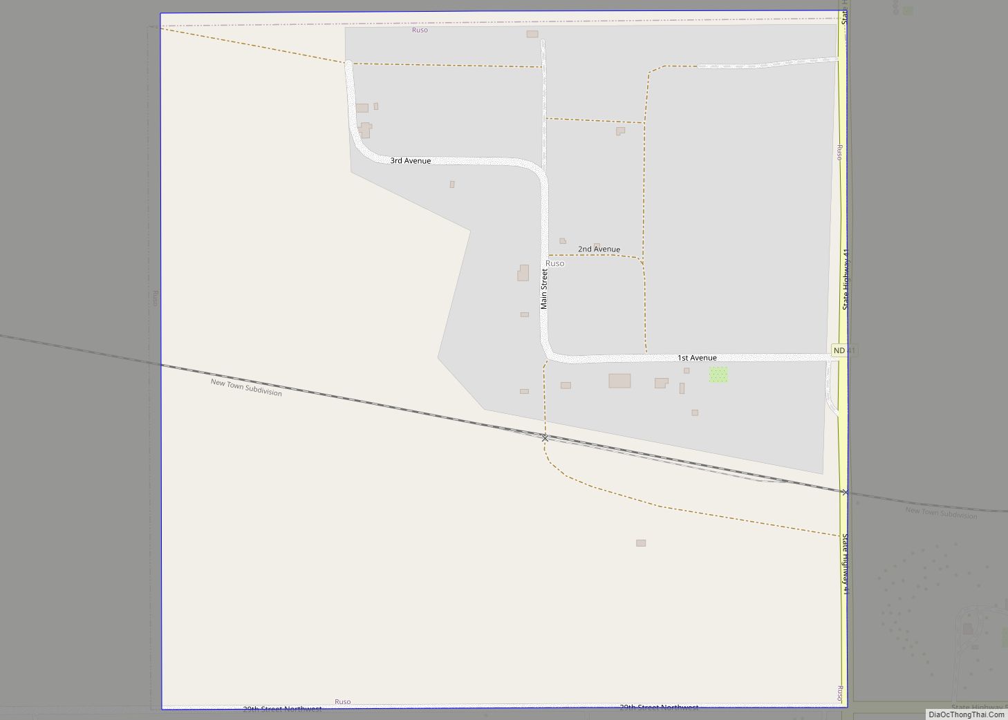
Online Interactive Map
Click on ![]() to view map in "full screen" mode.
to view map in "full screen" mode.
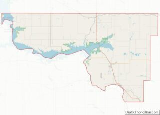
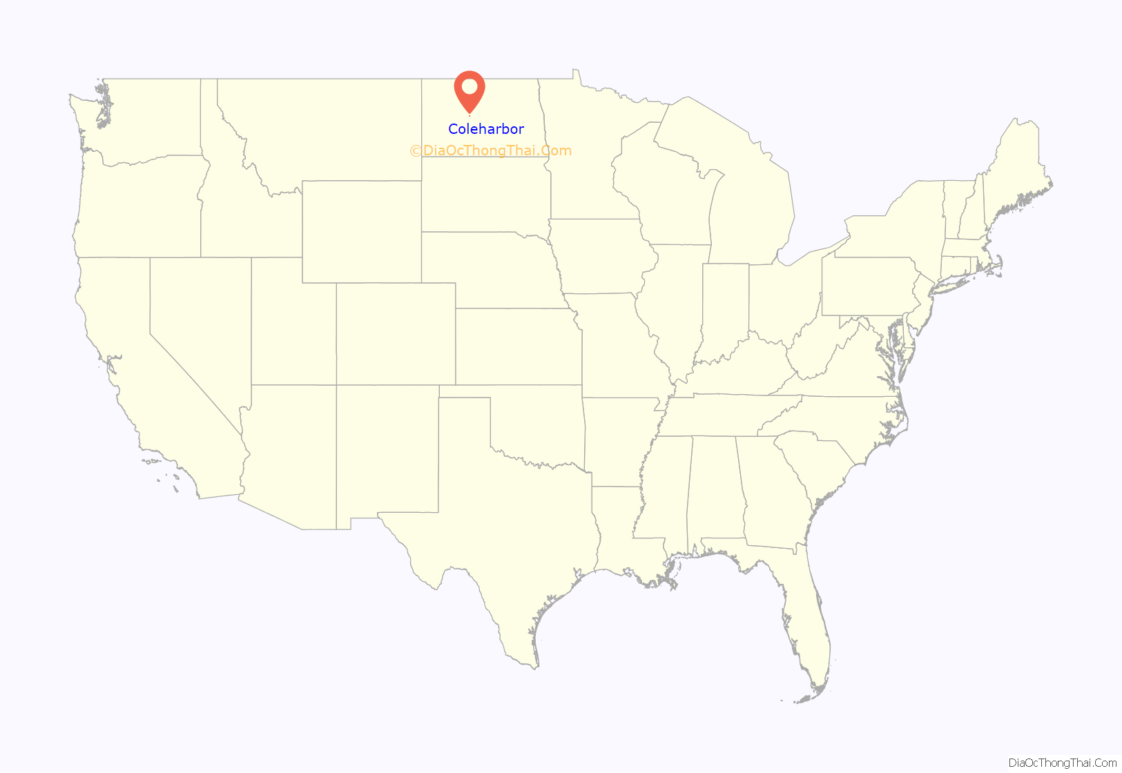
Coleharbor location map. Where is Coleharbor city?
History
Coleharbor was laid out in 1904 when the railroad was extended to that point. The name combines that of a Soo Railroad official (W. A. Cole) and a reference to an older site on the Missouri River a few miles to the southwest (Coal Harbor). In July 2006, three storms converged above the town, unleashing a derecho that resulted in significant damage around town, even blowing down part of the former school building (made of brick), while leaving the nearby grain elevator intact.
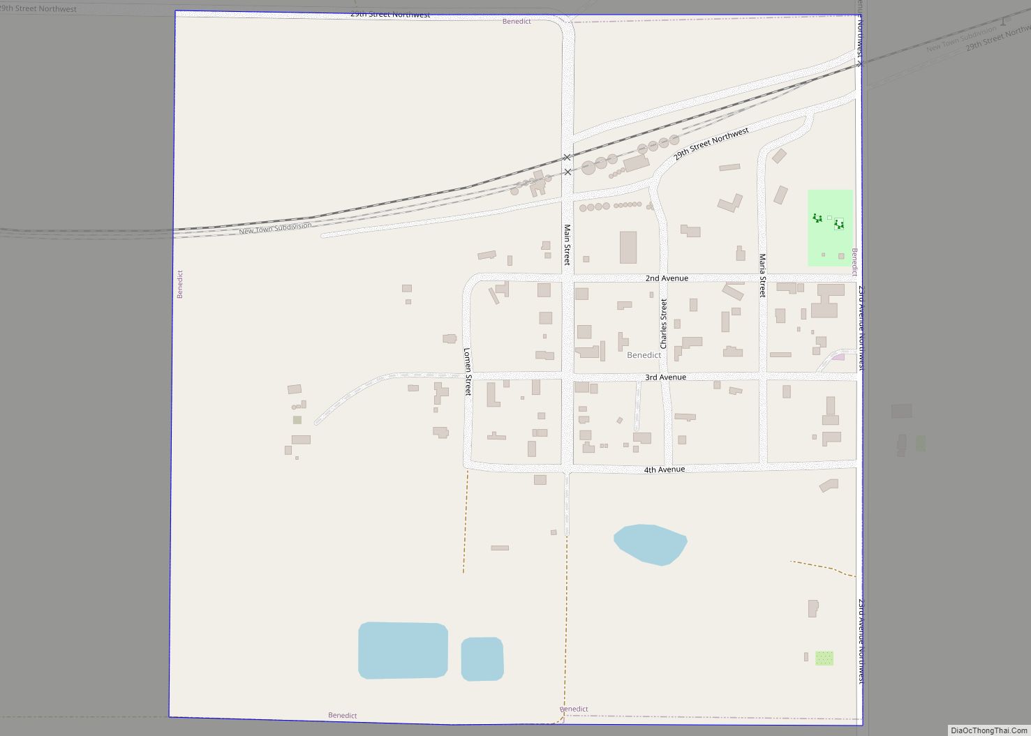
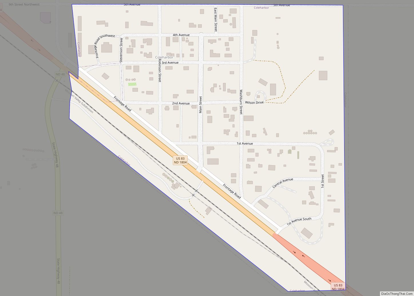
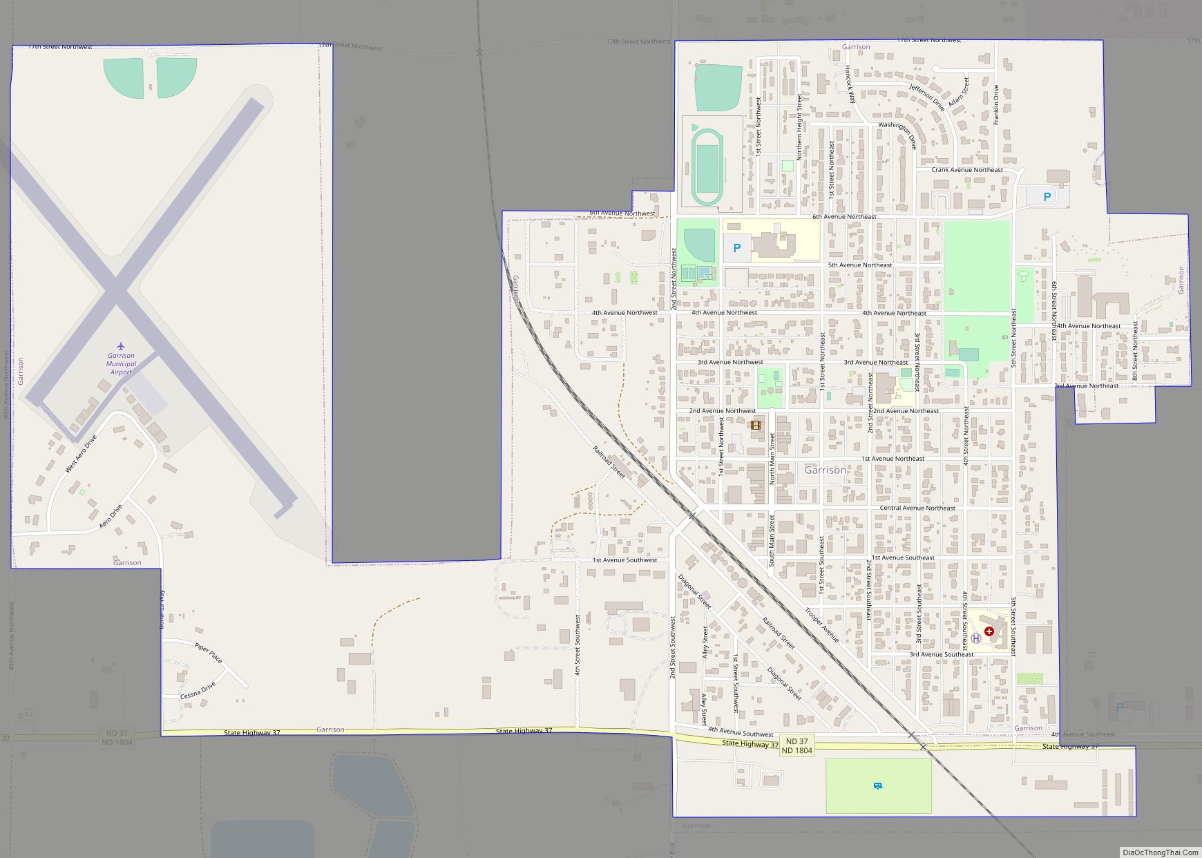
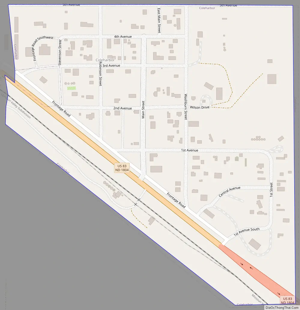
Coleharbor Road Map
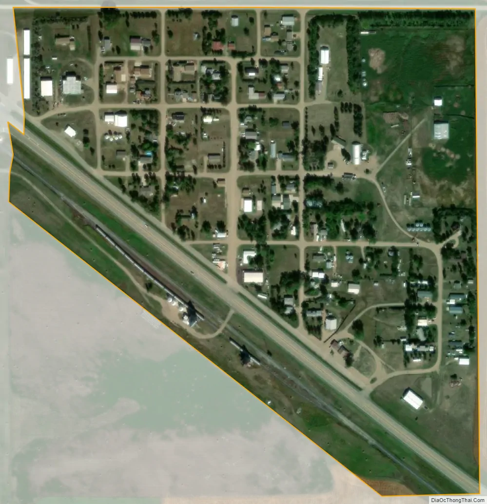
Coleharbor city Satellite Map
Geography
Coleharbor is located at 47°32′33″N 101°13′23″W / 47.54250°N 101.22306°W / 47.54250; -101.22306 (47.542416, -101.223145).
According to the United States Census Bureau, the city has a total area of 0.19 square miles (0.49 km), all land.
See also
Map of North Dakota State and its subdivision:- Adams
- Barnes
- Benson
- Billings
- Bottineau
- Bowman
- Burke
- Burleigh
- Cass
- Cavalier
- Dickey
- Divide
- Dunn
- Eddy
- Emmons
- Foster
- Golden Valley
- Grand Forks
- Grant
- Griggs
- Hettinger
- Kidder
- Lamoure
- Logan
- McHenry
- McIntosh
- McKenzie
- McLean
- Mercer
- Morton
- Mountrail
- Nelson
- Oliver
- Pembina
- Pierce
- Ramsey
- Ransom
- Renville
- Richland
- Rolette
- Sargent
- Sheridan
- Sioux
- Slope
- Stark
- Steele
- Stutsman
- Towner
- Traill
- Walsh
- Ward
- Wells
- Williams
- Alabama
- Alaska
- Arizona
- Arkansas
- California
- Colorado
- Connecticut
- Delaware
- District of Columbia
- Florida
- Georgia
- Hawaii
- Idaho
- Illinois
- Indiana
- Iowa
- Kansas
- Kentucky
- Louisiana
- Maine
- Maryland
- Massachusetts
- Michigan
- Minnesota
- Mississippi
- Missouri
- Montana
- Nebraska
- Nevada
- New Hampshire
- New Jersey
- New Mexico
- New York
- North Carolina
- North Dakota
- Ohio
- Oklahoma
- Oregon
- Pennsylvania
- Rhode Island
- South Carolina
- South Dakota
- Tennessee
- Texas
- Utah
- Vermont
- Virginia
- Washington
- West Virginia
- Wisconsin
- Wyoming