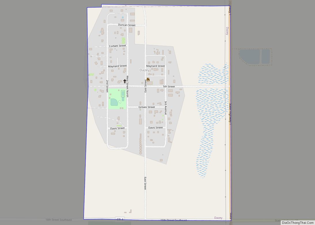
Dazey is a city in Barnes County, North Dakota, United States. The population was 78 at the 2020 census. Dazey was founded in 1883 after a local farmer, Charles Dazey, donated land to start a townsite.
| Name: | Dazey city |
|---|---|
| LSAD Code: | 25 |
| LSAD Description: | city (suffix) |
| State: | North Dakota |
| County: | Barnes County |
| Founded: | 1883 |
| Elevation: | 1,434 ft (437 m) |
| Total Area: | 0.38 sq mi (0.98 km²) |
| Land Area: | 0.38 sq mi (0.98 km²) |
| Water Area: | 0.00 sq mi (0.00 km²) |
| Total Population: | 78 |
| Population Density: | 205.80/sq mi (79.43/km²) |
| ZIP code: | 58429 |
| Area code: | 701 |
| FIPS code: | 3818340 |
| GNISfeature ID: | 1028623 |
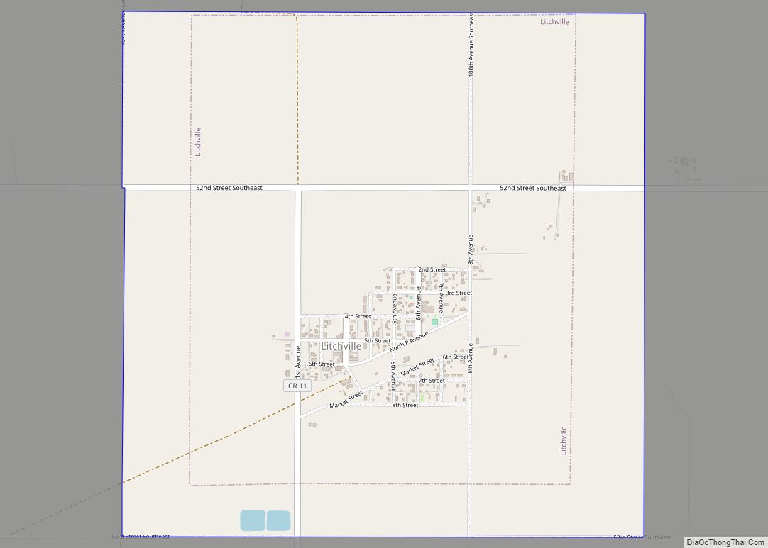
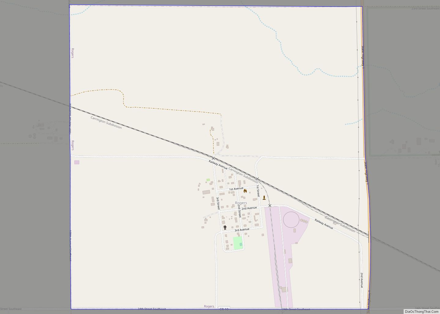
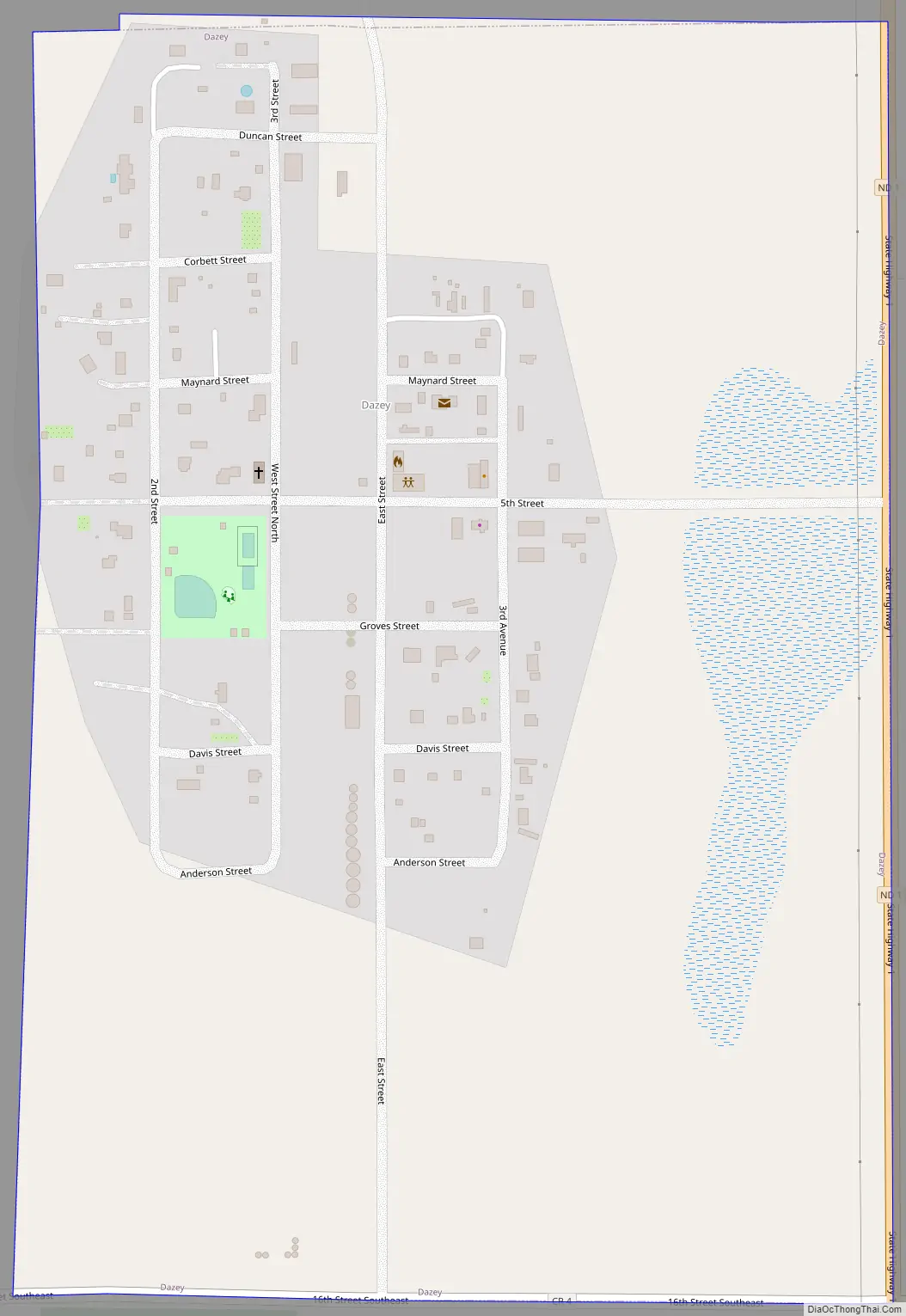
Online Interactive Map
Click on ![]() to view map in "full screen" mode.
to view map in "full screen" mode.
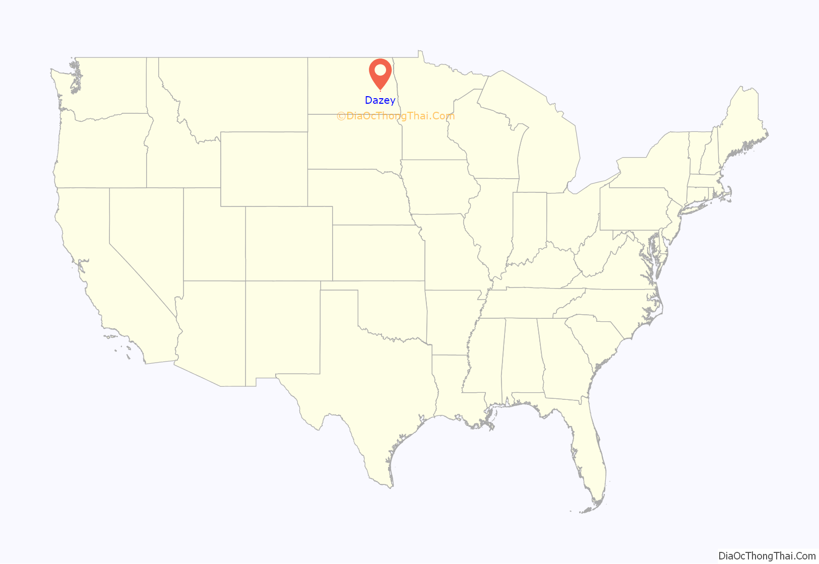
Dazey location map. Where is Dazey city?
History
Dazey was founded in 1883 and named for Charles Turner Dazey, who moved there from Illinois to run a bonanza farm in the early 1880s. Mr. Dazey donated the land to start the townsite. Mr. Dazey later moved back to Illinois where he became a successful playwright. It was incorporated as a village in 1904, and reached a peak population of 293 in 1920. It became a city in 1967, after the North Dakota Legislature enacted legislation that eliminated all existing incorporation titles for towns and villages in the state.
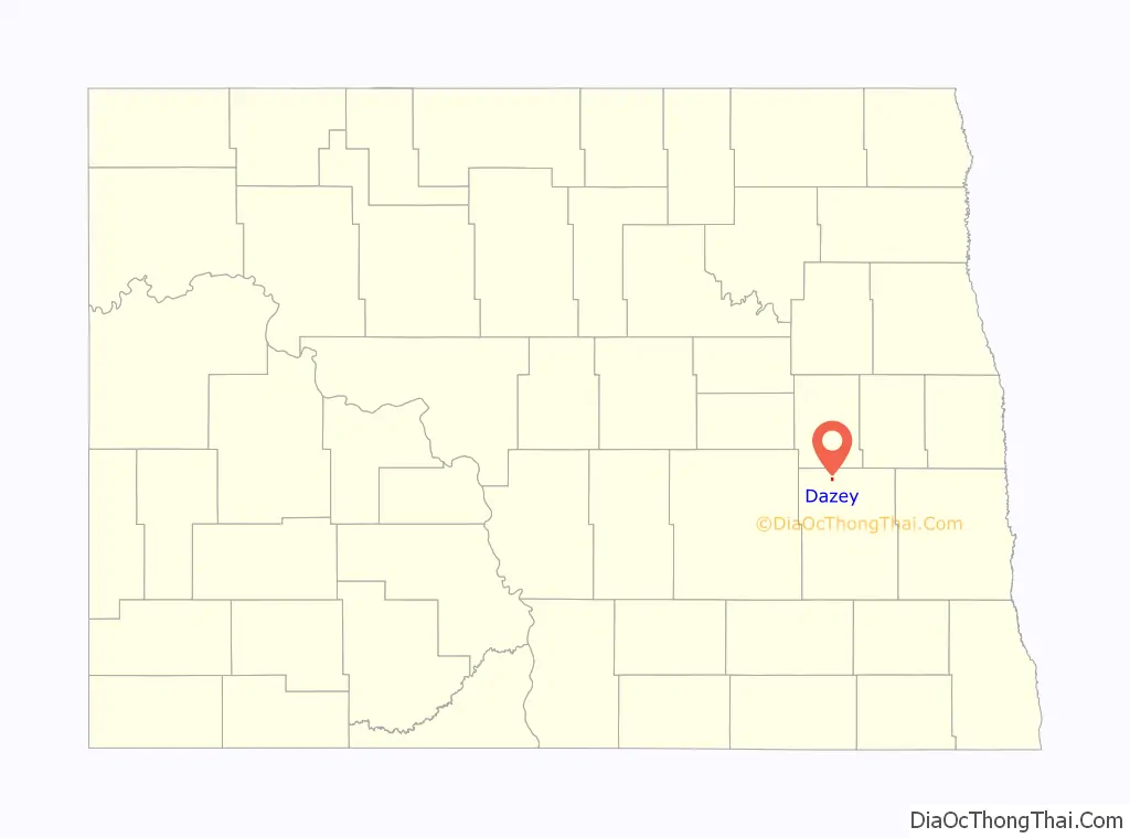
Dazey Road Map
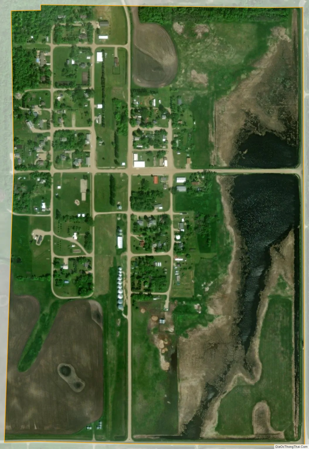
Dazey city Satellite Map
Geography
According to the United States Census Bureau, the city has a total area of 0.38 square miles (0.98 km), all land.
See also
Map of North Dakota State and its subdivision:- Adams
- Barnes
- Benson
- Billings
- Bottineau
- Bowman
- Burke
- Burleigh
- Cass
- Cavalier
- Dickey
- Divide
- Dunn
- Eddy
- Emmons
- Foster
- Golden Valley
- Grand Forks
- Grant
- Griggs
- Hettinger
- Kidder
- Lamoure
- Logan
- McHenry
- McIntosh
- McKenzie
- McLean
- Mercer
- Morton
- Mountrail
- Nelson
- Oliver
- Pembina
- Pierce
- Ramsey
- Ransom
- Renville
- Richland
- Rolette
- Sargent
- Sheridan
- Sioux
- Slope
- Stark
- Steele
- Stutsman
- Towner
- Traill
- Walsh
- Ward
- Wells
- Williams
- Alabama
- Alaska
- Arizona
- Arkansas
- California
- Colorado
- Connecticut
- Delaware
- District of Columbia
- Florida
- Georgia
- Hawaii
- Idaho
- Illinois
- Indiana
- Iowa
- Kansas
- Kentucky
- Louisiana
- Maine
- Maryland
- Massachusetts
- Michigan
- Minnesota
- Mississippi
- Missouri
- Montana
- Nebraska
- Nevada
- New Hampshire
- New Jersey
- New Mexico
- New York
- North Carolina
- North Dakota
- Ohio
- Oklahoma
- Oregon
- Pennsylvania
- Rhode Island
- South Carolina
- South Dakota
- Tennessee
- Texas
- Utah
- Vermont
- Virginia
- Washington
- West Virginia
- Wisconsin
- Wyoming