Denhoff (/ˈdɛnhɔːf/) is an unincorporated community and census-designated place in central Sheridan County, North Dakota, United States. The community was designated as part of the U.S. Census Bureau’s Participant Statistical Areas Program on March 31, 2010. It was not counted separately during the 2000 Census, but was included in the 2010 Census, where a population of 20 was reported.
It lies along North Dakota Highway 200, east of the city of McClusky, the county seat of Sheridan County. The post office no longer exists. There are no businesses left in town, and a church, as well as nine inhabited houses sheltering a population of 17. In 2009, a seed packaging plant began operations in Denhoff as well.
Historically, Denhoff functioned as a service town for the regional farming community, which began to decline after the 1960s. In the 1950s, its population reached its maximum of over 350 residents, and in addition to the post office and church, services consisted of a school, a gas station, and a bar. The expansion of corporately-managed large farms during the 1970s led to a major loss of population to unemployment in both Denhoff and the surrounding countryside, which in turn led to closure of most of the service operations and further loss of populace.
| Name: | Denhoff CDP |
|---|---|
| LSAD Code: | 57 |
| LSAD Description: | CDP (suffix) |
| State: | North Dakota |
| County: | Sheridan County |
| Elevation: | 2,031 ft (619 m) |
| Total Area: | 0.66 sq mi (1.70 km²) |
| Land Area: | 0.66 sq mi (1.70 km²) |
| Water Area: | 0.00 sq mi (0.00 km²) |
| Total Population: | 13 |
| Population Density: | 19.76/sq mi (7.63/km²) |
| ZIP code: | 58430 |
| Area code: | 701 |
| FIPS code: | 3819060 |
| GNISfeature ID: | 2584340 |
Online Interactive Map
Click on ![]() to view map in "full screen" mode.
to view map in "full screen" mode.
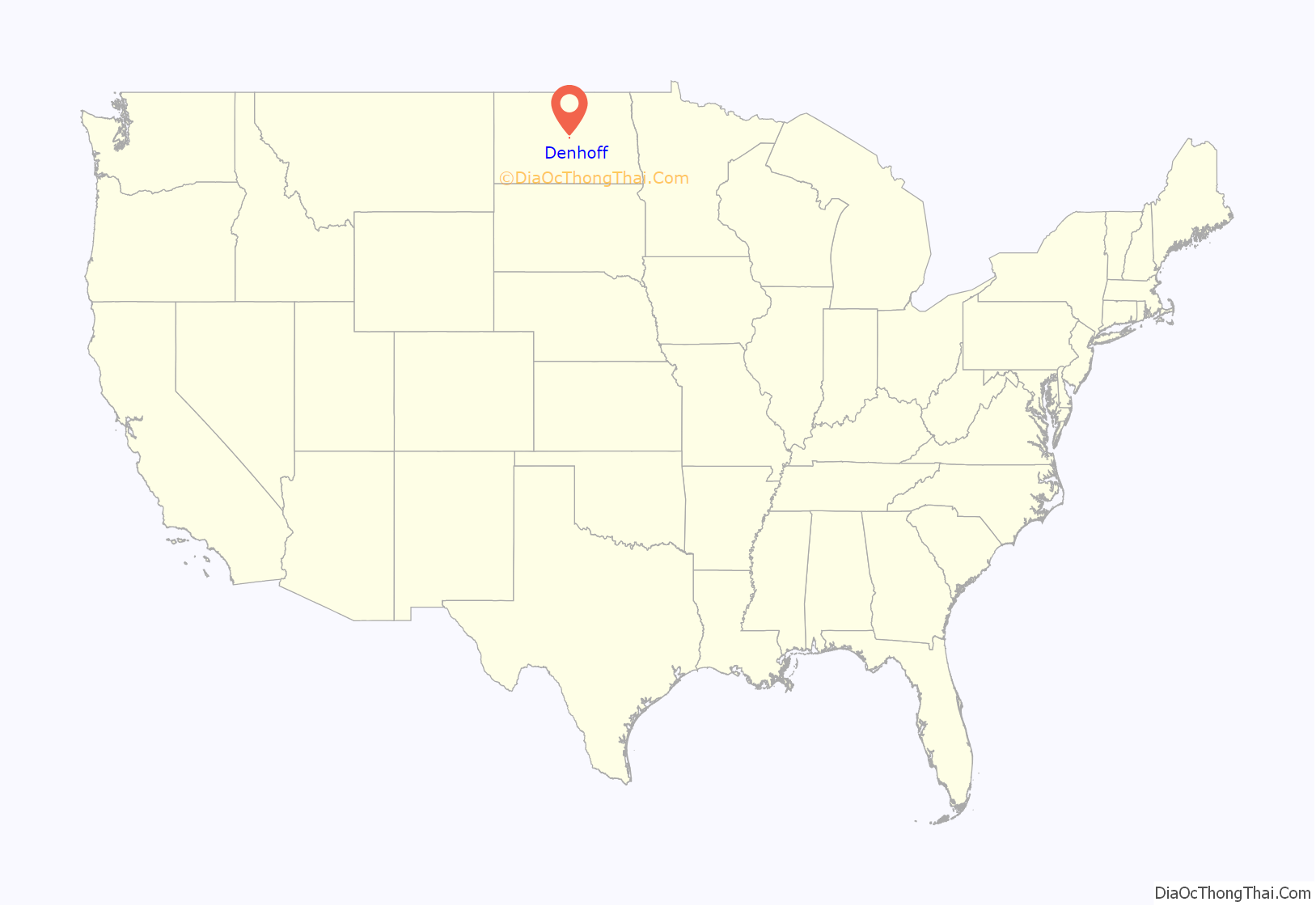
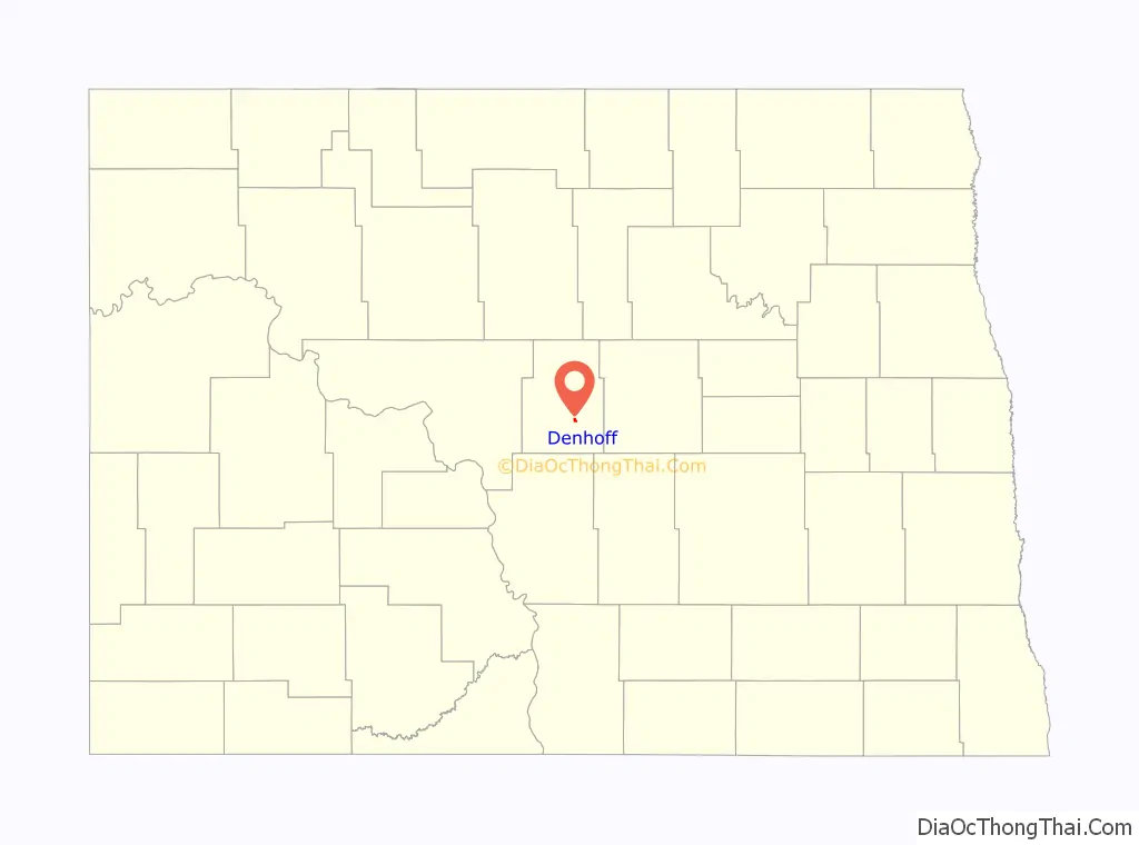
Denhoff location map. Where is Denhoff CDP?
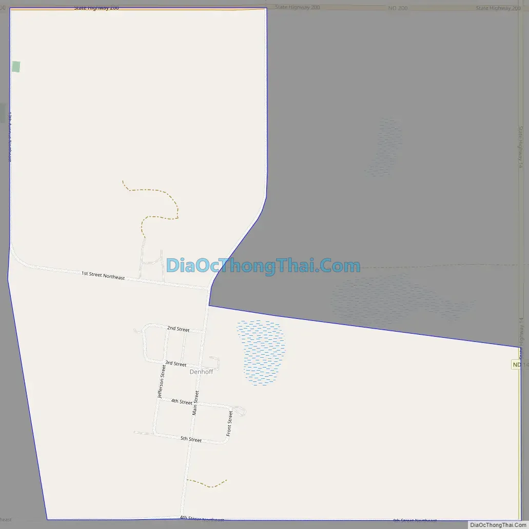
Denhoff Road Map
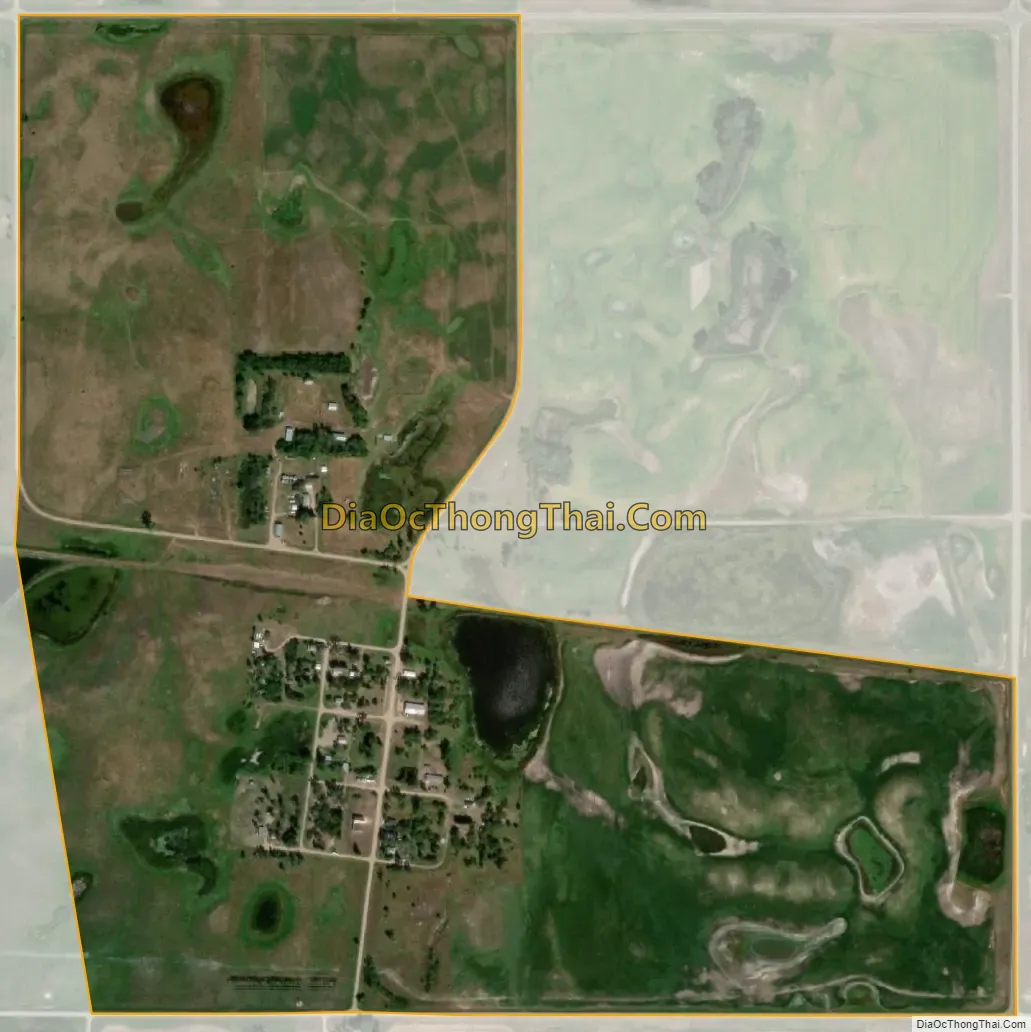
Denhoff city Satellite Map
See also
Map of North Dakota State and its subdivision:- Adams
- Barnes
- Benson
- Billings
- Bottineau
- Bowman
- Burke
- Burleigh
- Cass
- Cavalier
- Dickey
- Divide
- Dunn
- Eddy
- Emmons
- Foster
- Golden Valley
- Grand Forks
- Grant
- Griggs
- Hettinger
- Kidder
- Lamoure
- Logan
- McHenry
- McIntosh
- McKenzie
- McLean
- Mercer
- Morton
- Mountrail
- Nelson
- Oliver
- Pembina
- Pierce
- Ramsey
- Ransom
- Renville
- Richland
- Rolette
- Sargent
- Sheridan
- Sioux
- Slope
- Stark
- Steele
- Stutsman
- Towner
- Traill
- Walsh
- Ward
- Wells
- Williams
- Alabama
- Alaska
- Arizona
- Arkansas
- California
- Colorado
- Connecticut
- Delaware
- District of Columbia
- Florida
- Georgia
- Hawaii
- Idaho
- Illinois
- Indiana
- Iowa
- Kansas
- Kentucky
- Louisiana
- Maine
- Maryland
- Massachusetts
- Michigan
- Minnesota
- Mississippi
- Missouri
- Montana
- Nebraska
- Nevada
- New Hampshire
- New Jersey
- New Mexico
- New York
- North Carolina
- North Dakota
- Ohio
- Oklahoma
- Oregon
- Pennsylvania
- Rhode Island
- South Carolina
- South Dakota
- Tennessee
- Texas
- Utah
- Vermont
- Virginia
- Washington
- West Virginia
- Wisconsin
- Wyoming


