Max is a city in McLean County, North Dakota, United States. The population was 331 at the 2020 census. Max was founded in 1906.
| Name: | Max city |
|---|---|
| LSAD Code: | 25 |
| LSAD Description: | city (suffix) |
| State: | North Dakota |
| County: | McLean County |
| Elevation: | 2,093 ft (638 m) |
| Total Area: | 0.78 sq mi (2.02 km²) |
| Land Area: | 0.78 sq mi (2.02 km²) |
| Water Area: | 0.00 sq mi (0.00 km²) |
| Total Population: | 331 |
| Population Density: | 424.90/sq mi (163.99/km²) |
| ZIP code: | 58759 |
| Area code: | 701 |
| FIPS code: | 3851380 |
| GNISfeature ID: | 1030122 |
| Website: | maxnd.com |
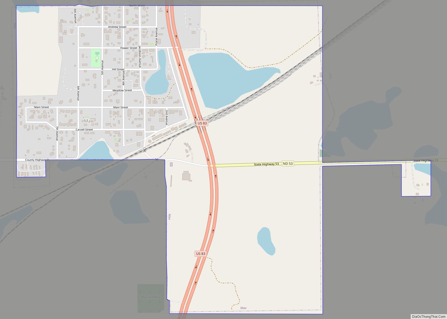
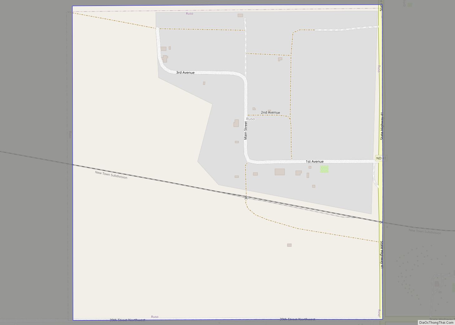
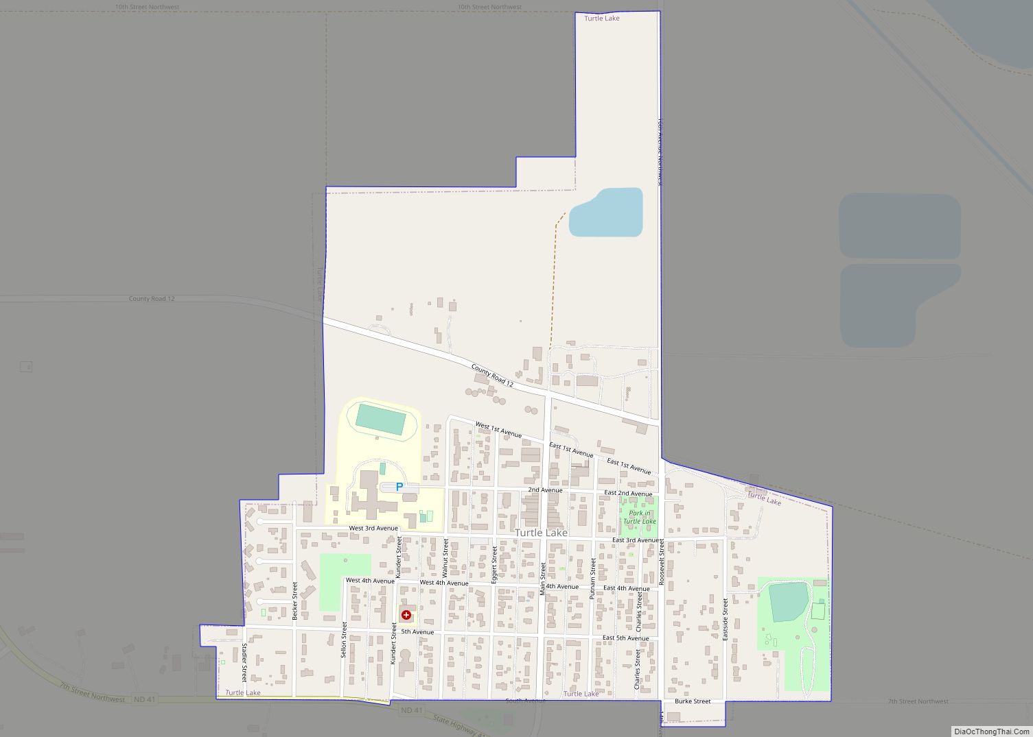
Online Interactive Map
Click on ![]() to view map in "full screen" mode.
to view map in "full screen" mode.
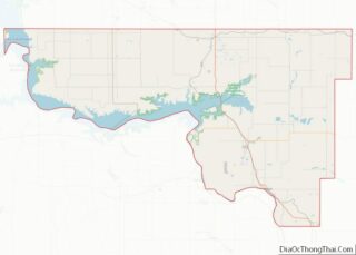
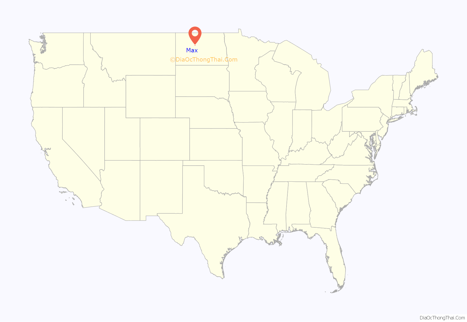
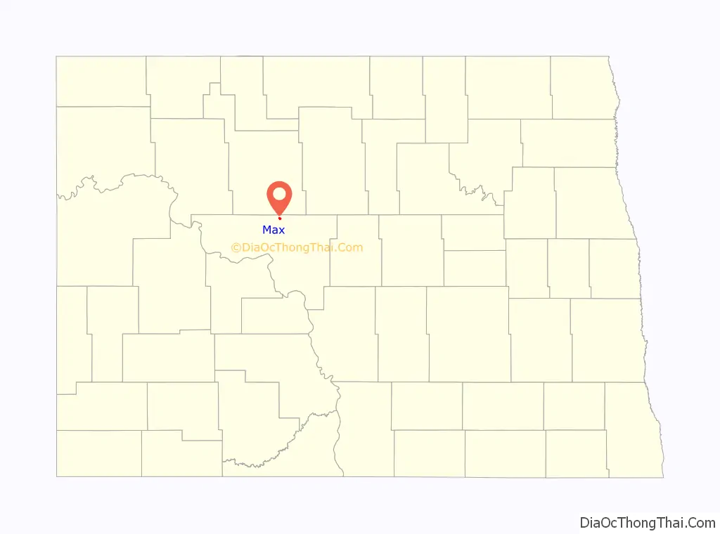
Max location map. Where is Max city?
History
Before 1906, rumors were circulating that the Soo Line would lay track close to Elbow Lake, north of Garrison, to obtain water for their steam engines. On this prospect, enterprising businessmen swiftly began staking claims in anticipation of purchasing prime real estate in a new town. A haphazard shack-building boom ensued on the surrounding ambling prairies. On August 8, 1906, a surveyor named J.G. Sheldrick filed a certificate to plat what would become the Max townsite on a grid.
The Soo Line came from the south and would have east and west branches at a junction to be named “Junction” or “Junction City”. However, people started calling it Max’s Post Office, after Max Freitag, eldest son of Paul Freitag. Paul Freitag was a local farmer and the first postmaster. Max asked people he met at the junction if they were coming to “his” post office to pick up their mail. The name, truncated to simply Max, stuck (in habit, if not officially). When the town was later moved two miles west to the present townsite, the name was changed officially to Max.
The Central Light and Power Company installed street lights in January 1918.
In 1947, Max decided to fully incorporate, with affairs managed by an elected mayor, and aldermanic council of four.
In the early 1950s, the town obtained a new telephone system, updated fire equipment, waterworks, water mains and a sewerage system.
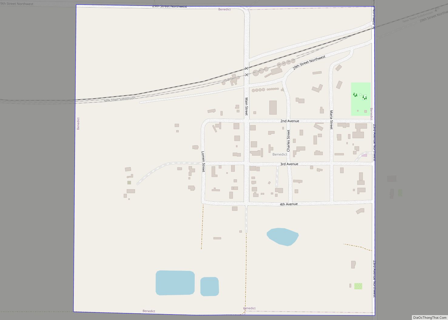
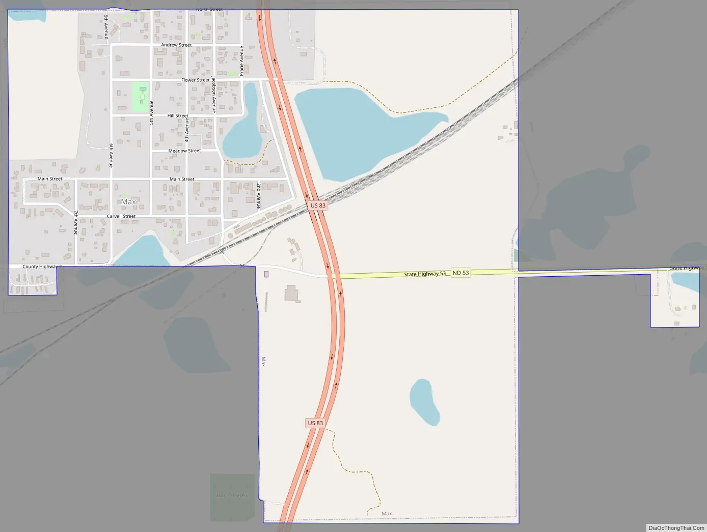
Max Road Map
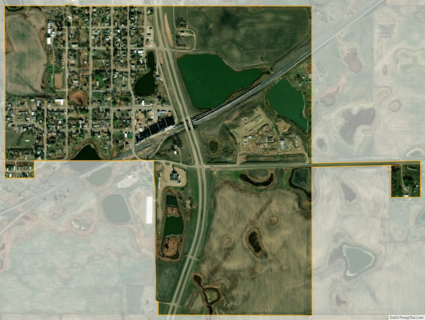
Max city Satellite Map
Geography
According to the United States Census Bureau, the city has a total area of 0.78 square miles (2.02 km), all land.
Climate
See also
Map of North Dakota State and its subdivision:- Adams
- Barnes
- Benson
- Billings
- Bottineau
- Bowman
- Burke
- Burleigh
- Cass
- Cavalier
- Dickey
- Divide
- Dunn
- Eddy
- Emmons
- Foster
- Golden Valley
- Grand Forks
- Grant
- Griggs
- Hettinger
- Kidder
- Lamoure
- Logan
- McHenry
- McIntosh
- McKenzie
- McLean
- Mercer
- Morton
- Mountrail
- Nelson
- Oliver
- Pembina
- Pierce
- Ramsey
- Ransom
- Renville
- Richland
- Rolette
- Sargent
- Sheridan
- Sioux
- Slope
- Stark
- Steele
- Stutsman
- Towner
- Traill
- Walsh
- Ward
- Wells
- Williams
- Alabama
- Alaska
- Arizona
- Arkansas
- California
- Colorado
- Connecticut
- Delaware
- District of Columbia
- Florida
- Georgia
- Hawaii
- Idaho
- Illinois
- Indiana
- Iowa
- Kansas
- Kentucky
- Louisiana
- Maine
- Maryland
- Massachusetts
- Michigan
- Minnesota
- Mississippi
- Missouri
- Montana
- Nebraska
- Nevada
- New Hampshire
- New Jersey
- New Mexico
- New York
- North Carolina
- North Dakota
- Ohio
- Oklahoma
- Oregon
- Pennsylvania
- Rhode Island
- South Carolina
- South Dakota
- Tennessee
- Texas
- Utah
- Vermont
- Virginia
- Washington
- West Virginia
- Wisconsin
- Wyoming