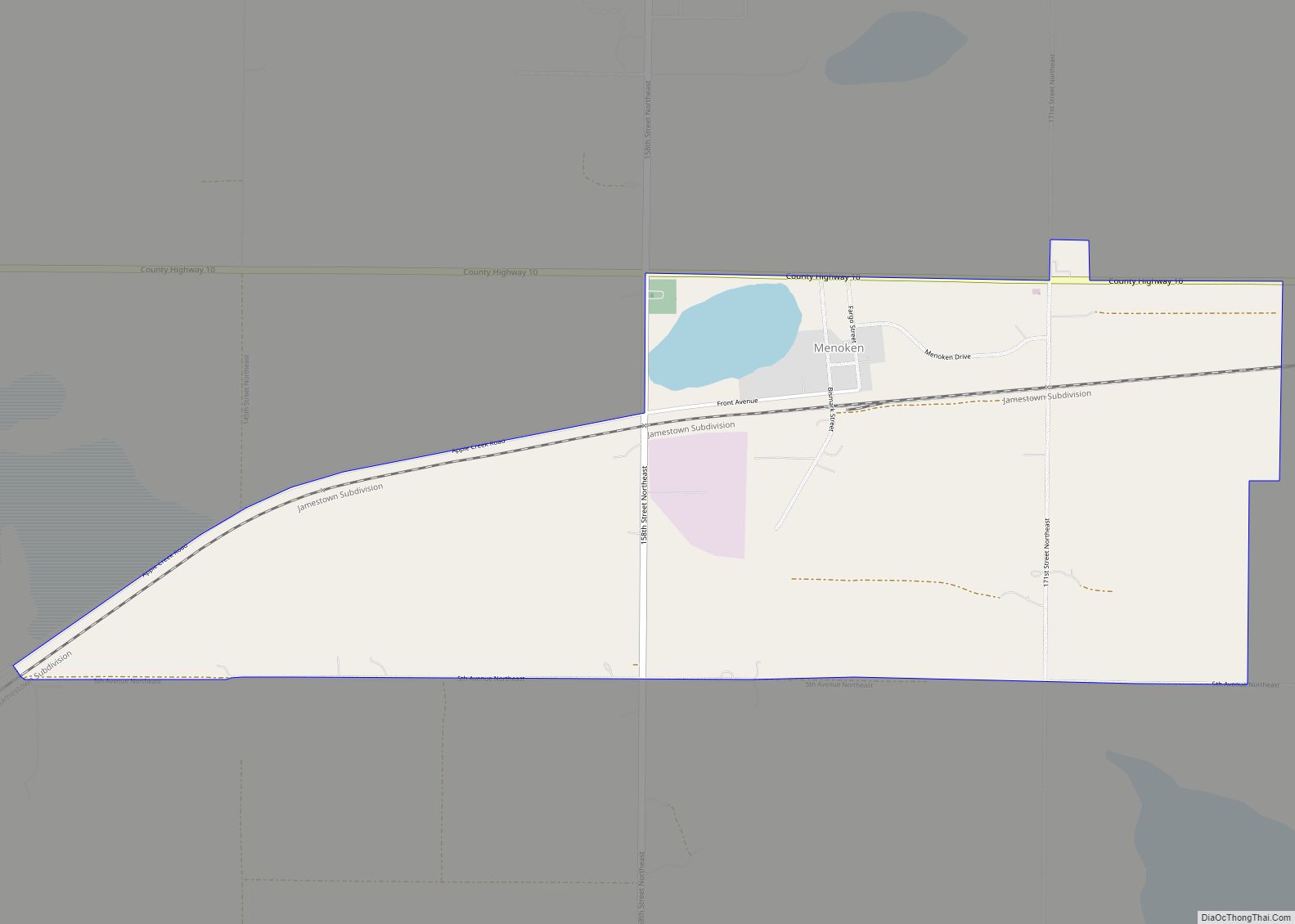
Menoken is an unincorporated community and a census-designated place (CDP) in southwestern Burleigh County, North Dakota, United States. It was designated as part of the U.S. Census Bureau’s Participant Statistical Areas Program on June 10, 2010. It was not counted separately during the 2000 Census, but was included in the 2010 Census, where a population of 70 was reported.
It lies southeast of the city of Bismarck, the county seat of Burleigh County. Its elevation is 1,722 feet (525 m). The community has had many different names, starting with Seventeenth Siding in 1873, then it was soon renamed Blaine for James G. Blaine, U.S. Senator from Maine, then when the post office opened in 1880, the town was renamed Clarke’s Farm after C.J. Clarke of Pittsburgh, a local farmer. The town was finally renamed Menoken in 1883, which is an Indian name, but the Northern Pacific Railroad disliked the new name and changed the name of their station in 1891 to Burleigh (a.k.a. Burleigh Station), and the siding still carries this alternate name to this day. It has a post office with the ZIP code 58558.
| Name: | Menoken CDP |
|---|---|
| LSAD Code: | 57 |
| LSAD Description: | CDP (suffix) |
| State: | North Dakota |
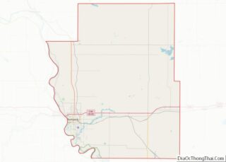
| County: | Burleigh County |
| Elevation: | 1,722 ft (525 m) |
| Total Area: | 2.24 sq mi (5.80 km²) |
| Land Area: | 2.18 sq mi (5.64 km²) |
| Water Area: | 0.06 sq mi (0.16 km²) |
| Total Population: | 78 |
| Population Density: | 35.85/sq mi (13.84/km²) |
| ZIP code: | 58558 |
| Area code: | 701 |
| FIPS code: | 3852180 |
| GNISfeature ID: | 2628575 |
Online Interactive Map
Click on ![]() to view map in "full screen" mode.
to view map in "full screen" mode.
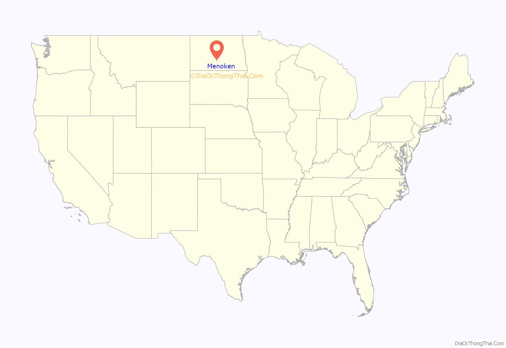
Menoken location map. Where is Menoken CDP?
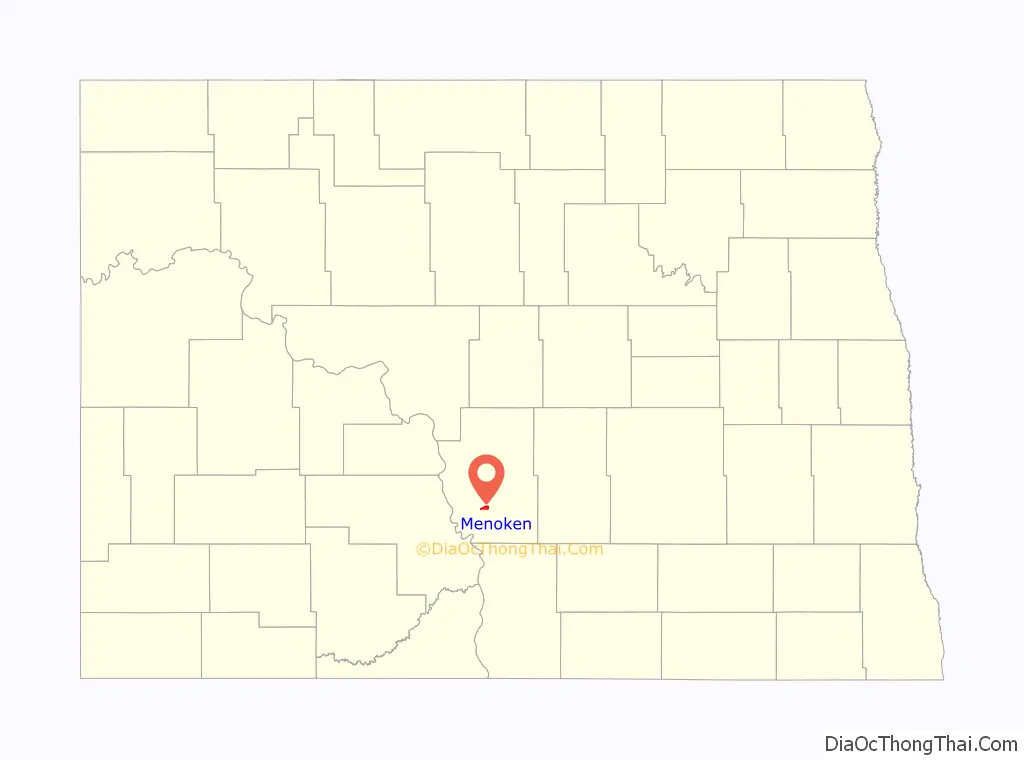
Menoken Road Map
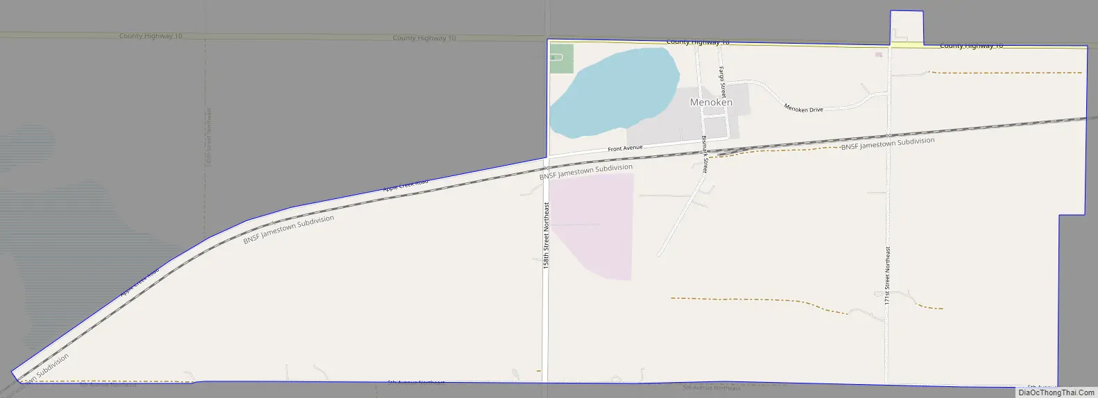
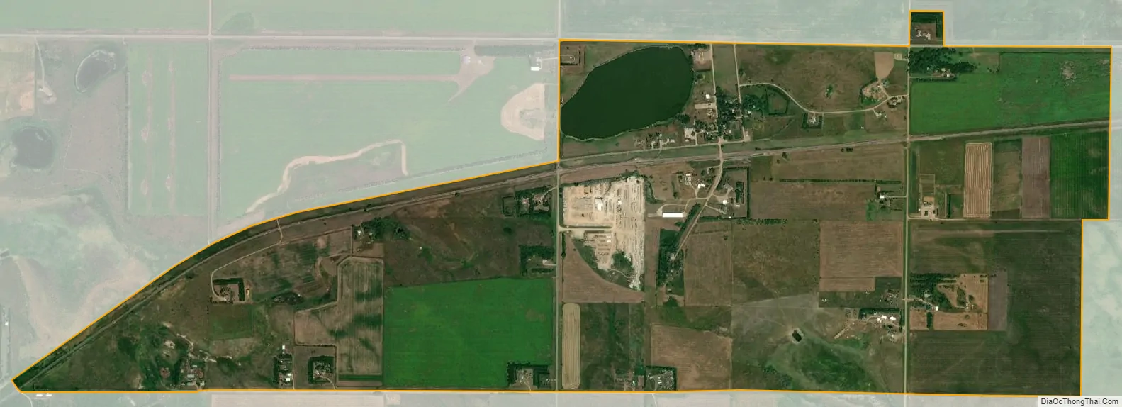
Menoken city Satellite Map
See also
Map of North Dakota State and its subdivision:- Adams
- Barnes
- Benson
- Billings
- Bottineau
- Bowman
- Burke
- Burleigh
- Cass
- Cavalier
- Dickey
- Divide
- Dunn
- Eddy
- Emmons
- Foster
- Golden Valley
- Grand Forks
- Grant
- Griggs
- Hettinger
- Kidder
- Lamoure
- Logan
- McHenry
- McIntosh
- McKenzie
- McLean
- Mercer
- Morton
- Mountrail
- Nelson
- Oliver
- Pembina
- Pierce
- Ramsey
- Ransom
- Renville
- Richland
- Rolette
- Sargent
- Sheridan
- Sioux
- Slope
- Stark
- Steele
- Stutsman
- Towner
- Traill
- Walsh
- Ward
- Wells
- Williams
- Alabama
- Alaska
- Arizona
- Arkansas
- California
- Colorado
- Connecticut
- Delaware
- District of Columbia
- Florida
- Georgia
- Hawaii
- Idaho
- Illinois
- Indiana
- Iowa
- Kansas
- Kentucky
- Louisiana
- Maine
- Maryland
- Massachusetts
- Michigan
- Minnesota
- Mississippi
- Missouri
- Montana
- Nebraska
- Nevada
- New Hampshire
- New Jersey
- New Mexico
- New York
- North Carolina
- North Dakota
- Ohio
- Oklahoma
- Oregon
- Pennsylvania
- Rhode Island
- South Carolina
- South Dakota
- Tennessee
- Texas
- Utah
- Vermont
- Virginia
- Washington
- West Virginia
- Wisconsin
- Wyoming