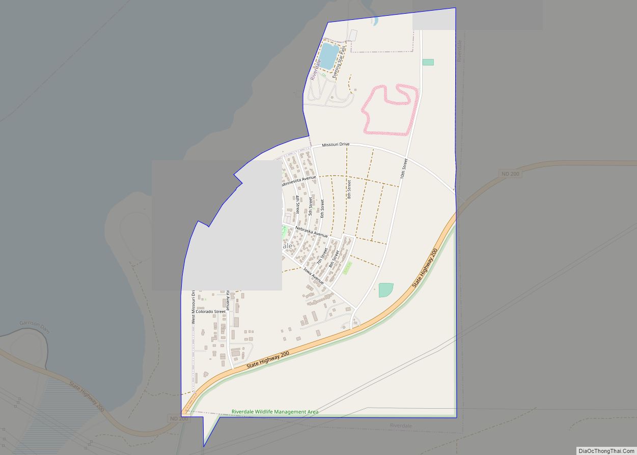
Riverdale is a town in McLean County, North Dakota, United States. The population was 223 at the 2020 census.
Riverdale was the largest of the construction camps that sprang up in 1946 to house workers building the Garrison Dam just to the west. After the dam was completed in 1953, residents of the other camps (including Dakota City and Big Bend) who decided to stay on relocated to Riverdale. It was operated by the federal government from its establishment until 1986, when it was turned over to the state of North Dakota with incorporation following shortly thereafter.
| Name: | Riverdale city |
|---|---|
| LSAD Code: | 25 |
| LSAD Description: | city (suffix) |
| State: | North Dakota |
| County: | McLean County |
| Founded: | September 1985 |
| Incorporated: | October 1985 |
| Elevation: | 1,969 ft (600 m) |
| Total Area: | 1.39 sq mi (3.59 km²) |
| Land Area: | 1.39 sq mi (3.59 km²) |
| Water Area: | 0.00 sq mi (0.00 km²) |
| Total Population: | 223 |
| Population Density: | 160.78/sq mi (62.06/km²) |
| ZIP code: | 58565 |
| Area code: | 701 |
| FIPS code: | 3866980 |
| GNISfeature ID: | 1030914 |
| Website: | riverdalenorthdakota.com |
Online Interactive Map
Click on ![]() to view map in "full screen" mode.
to view map in "full screen" mode.
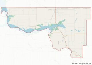
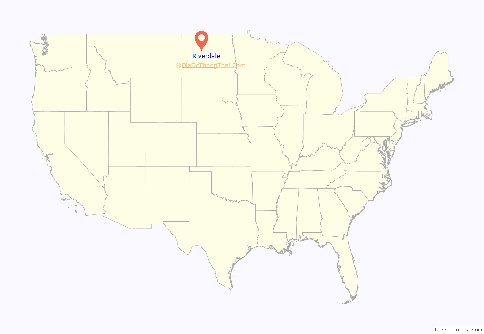
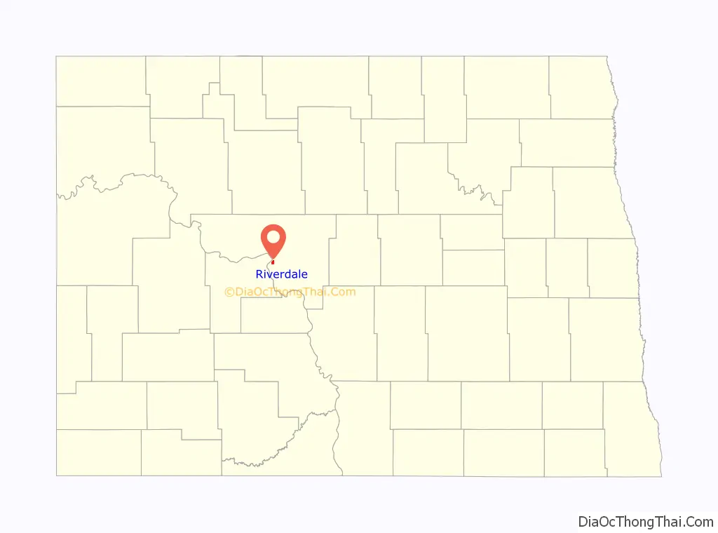
Riverdale location map. Where is Riverdale city?
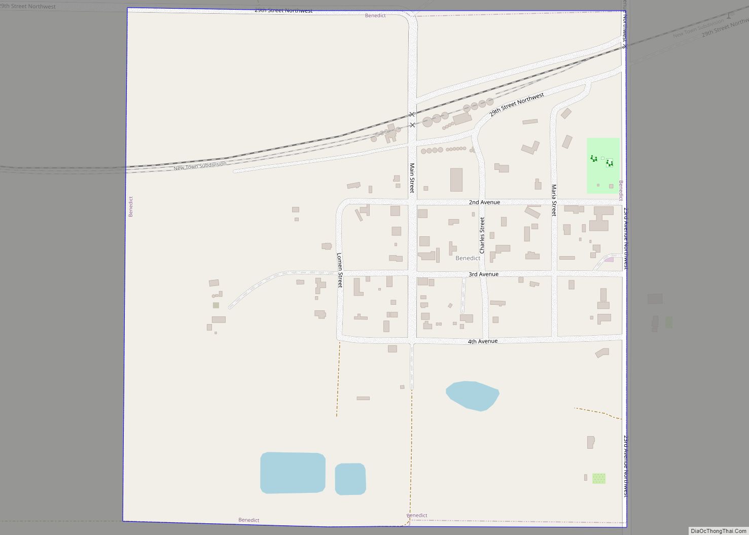
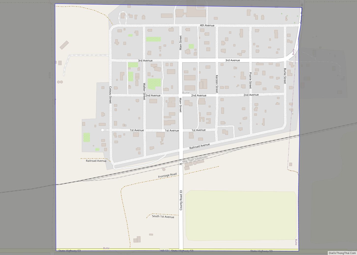
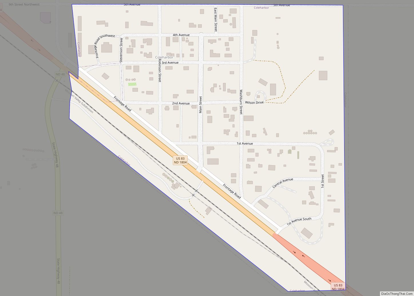
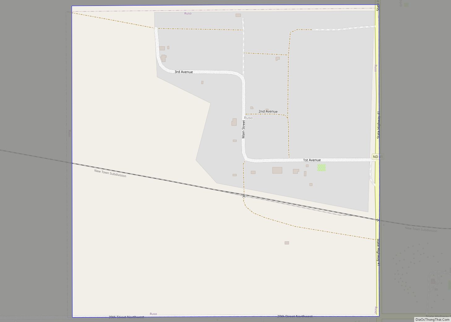
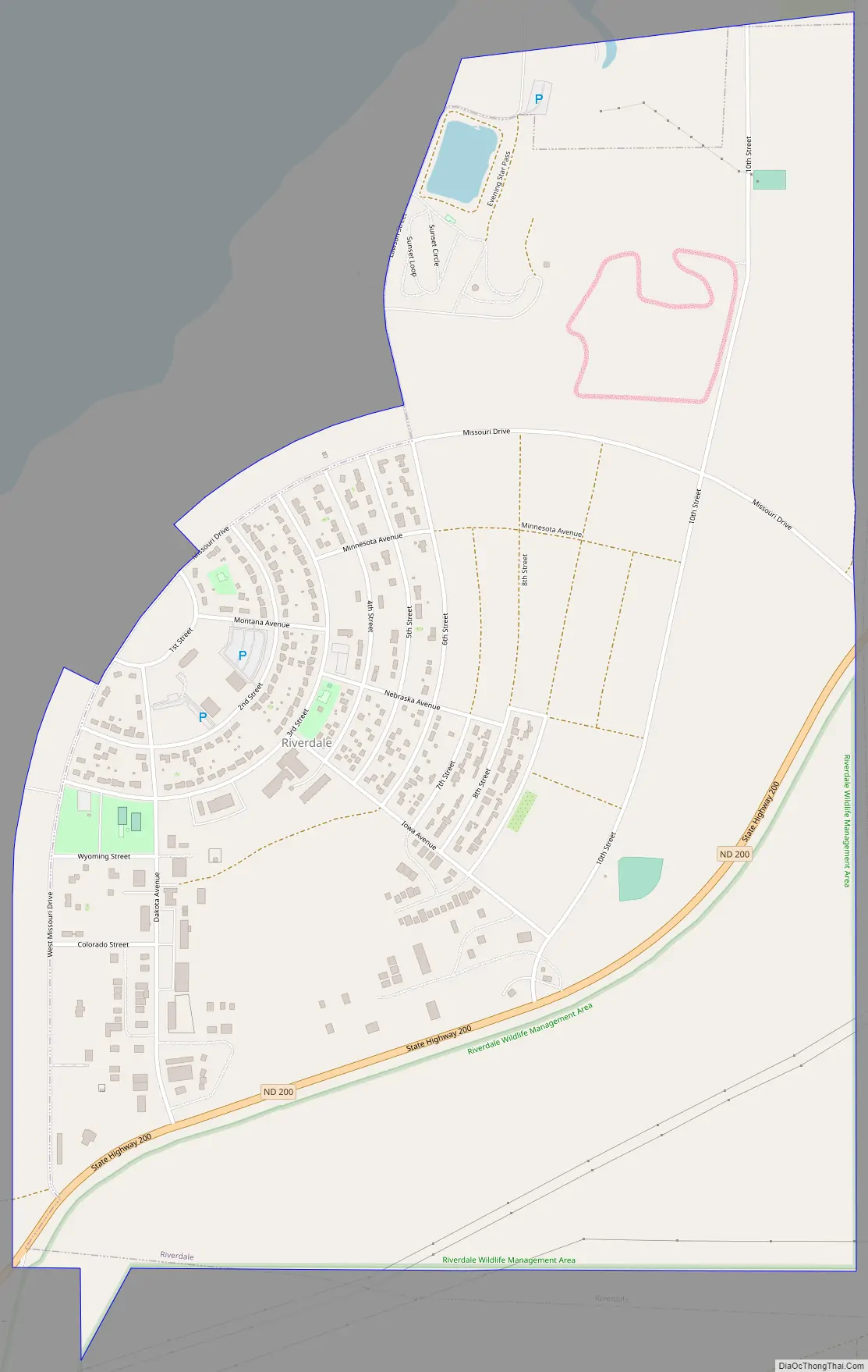
Riverdale Road Map
Riverdale city Satellite Map
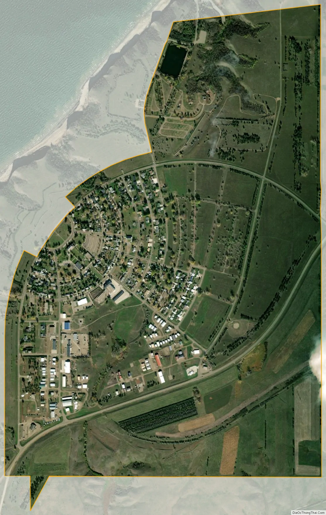
Geography
Riverdale is located at 47°29′59″N 101°22′12″W / 47.49972°N 101.37000°W / 47.49972; -101.37000 (47.499853, -101.370074).
According to the United States Census Bureau, the city has a total area of 1.35 square miles (3.50 km), all land.
See also
Map of North Dakota State and its subdivision:- Adams
- Barnes
- Benson
- Billings
- Bottineau
- Bowman
- Burke
- Burleigh
- Cass
- Cavalier
- Dickey
- Divide
- Dunn
- Eddy
- Emmons
- Foster
- Golden Valley
- Grand Forks
- Grant
- Griggs
- Hettinger
- Kidder
- Lamoure
- Logan
- McHenry
- McIntosh
- McKenzie
- McLean
- Mercer
- Morton
- Mountrail
- Nelson
- Oliver
- Pembina
- Pierce
- Ramsey
- Ransom
- Renville
- Richland
- Rolette
- Sargent
- Sheridan
- Sioux
- Slope
- Stark
- Steele
- Stutsman
- Towner
- Traill
- Walsh
- Ward
- Wells
- Williams
- Alabama
- Alaska
- Arizona
- Arkansas
- California
- Colorado
- Connecticut
- Delaware
- District of Columbia
- Florida
- Georgia
- Hawaii
- Idaho
- Illinois
- Indiana
- Iowa
- Kansas
- Kentucky
- Louisiana
- Maine
- Maryland
- Massachusetts
- Michigan
- Minnesota
- Mississippi
- Missouri
- Montana
- Nebraska
- Nevada
- New Hampshire
- New Jersey
- New Mexico
- New York
- North Carolina
- North Dakota
- Ohio
- Oklahoma
- Oregon
- Pennsylvania
- Rhode Island
- South Carolina
- South Dakota
- Tennessee
- Texas
- Utah
- Vermont
- Virginia
- Washington
- West Virginia
- Wisconsin
- Wyoming