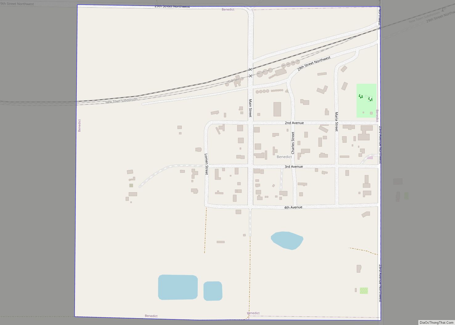
Ruso is a hamlet in McLean County, North Dakota, United States. The population was one at the 2020 census, making Ruso the least populous incorporated place in North Dakota.
| Name: | Ruso city |
|---|---|
| LSAD Code: | 25 |
| LSAD Description: | city (suffix) |
| State: | North Dakota |
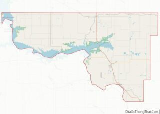
| County: | McLean County |
| Elevation: | 2,087 ft (636 m) |
| Total Area: | 0.25 sq mi (0.64 km²) |
| Land Area: | 0.25 sq mi (0.64 km²) |
| Water Area: | 0.00 sq mi (0.00 km²) |
| Total Population: | 1 |
| Population Density: | 4.02/sq mi (1.55/km²) |
| ZIP code: | 58778 |
| Area code: | 701 |
| FIPS code: | 3869140 |
| GNISfeature ID: | 1031045 |
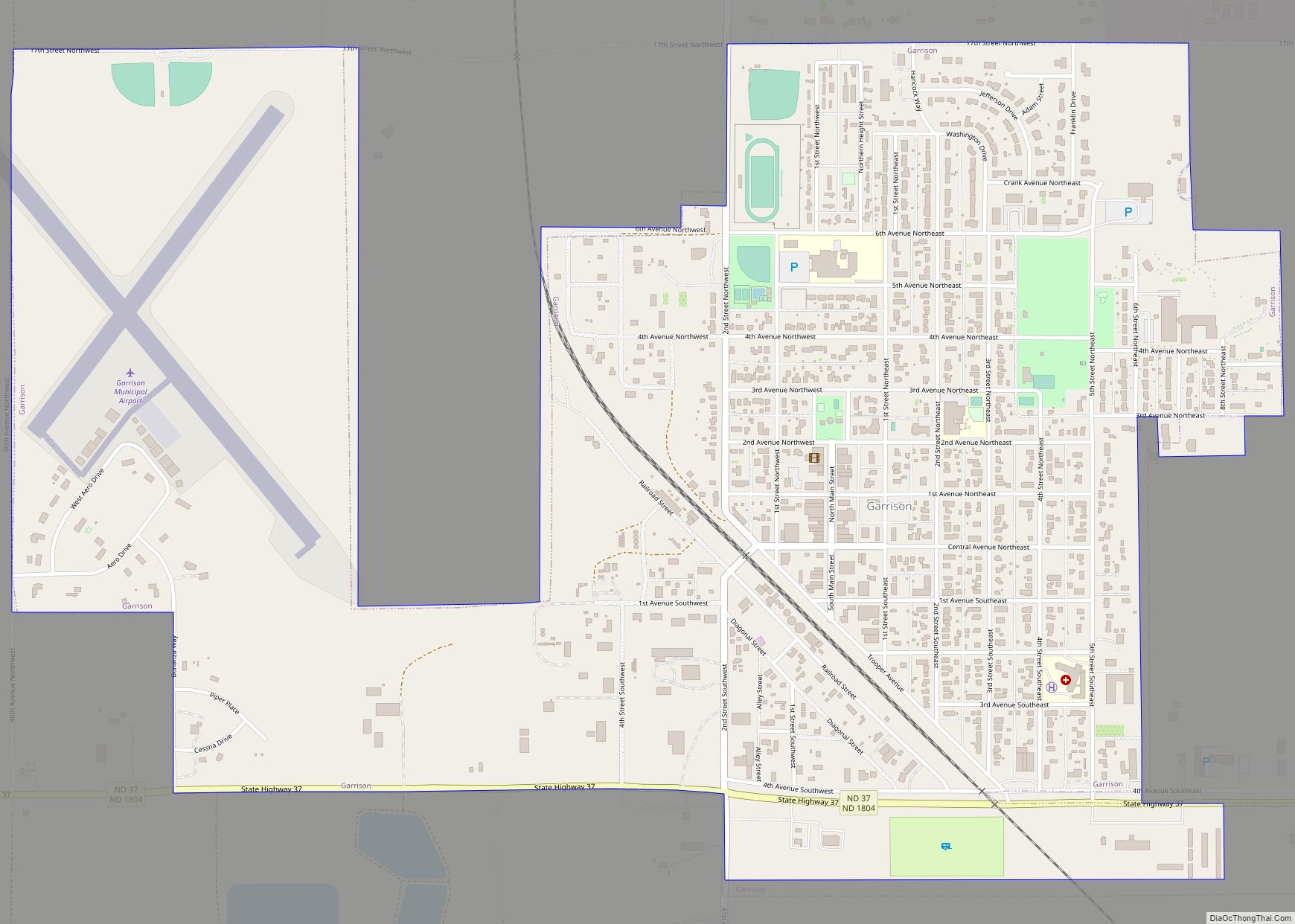
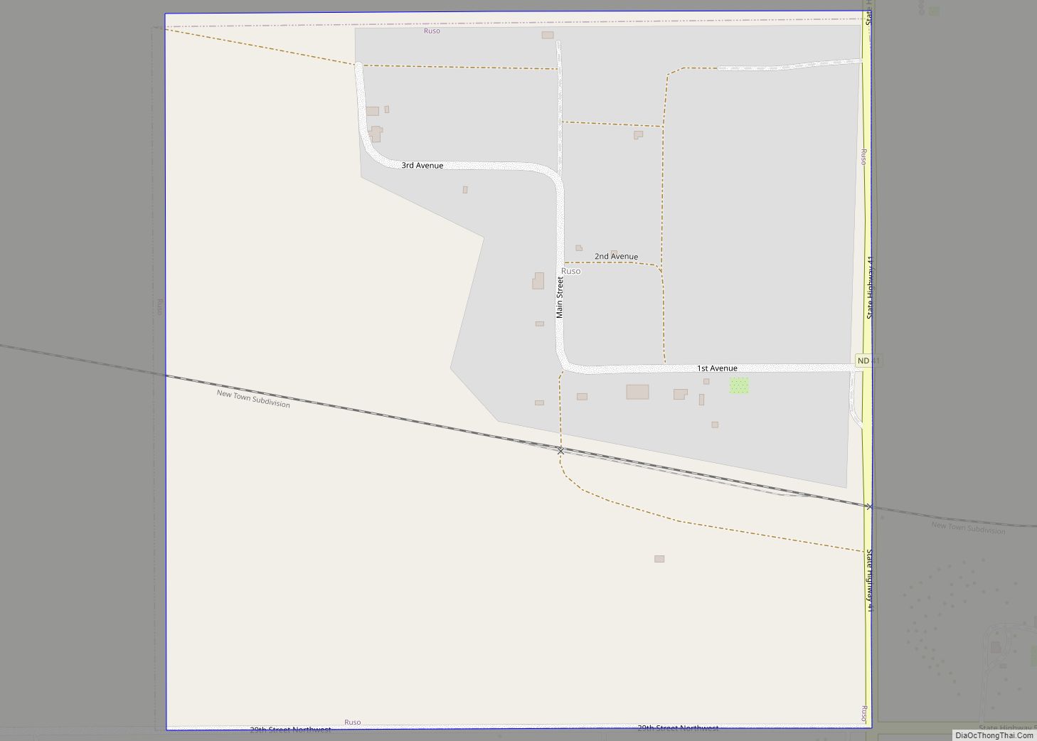
Online Interactive Map
Click on ![]() to view map in "full screen" mode.
to view map in "full screen" mode.
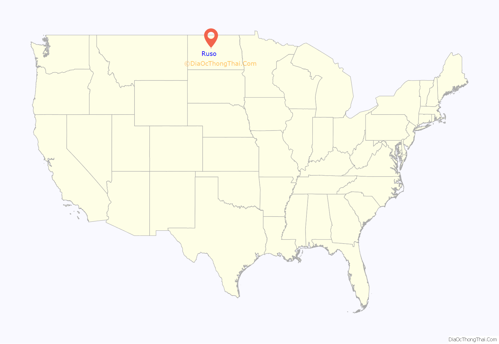
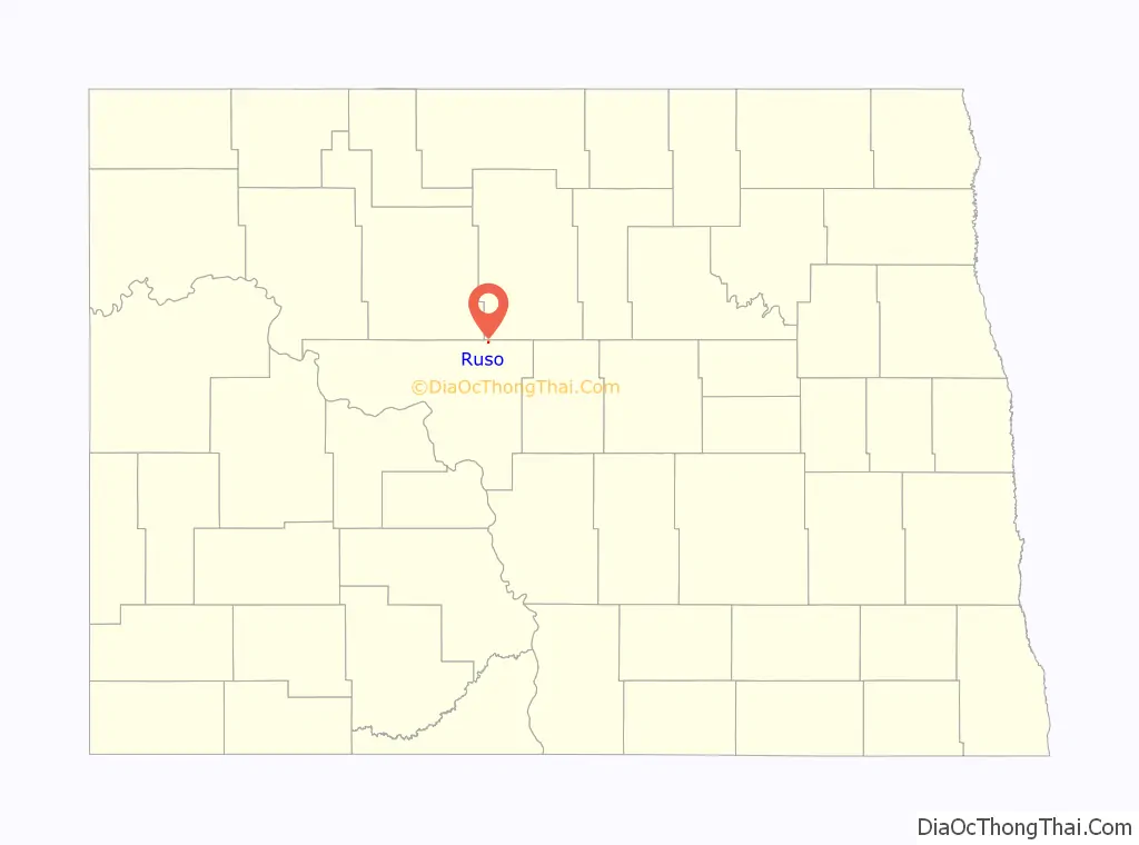
Ruso location map. Where is Ruso city?
History
Ruso was founded and named on July 17, 1906 and named either after a Russian word meaning “south of us” or from the first two letters in both of the words “South Russia” by an agent who brought in immigrants from Russia. The city incorporated on July 7, 1909.
The city lost its last business in 1956.
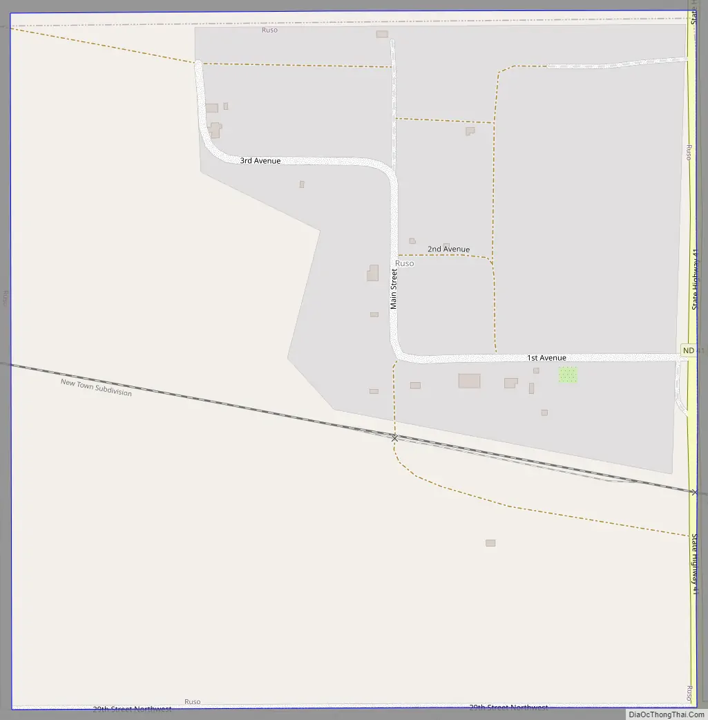
Ruso Road Map
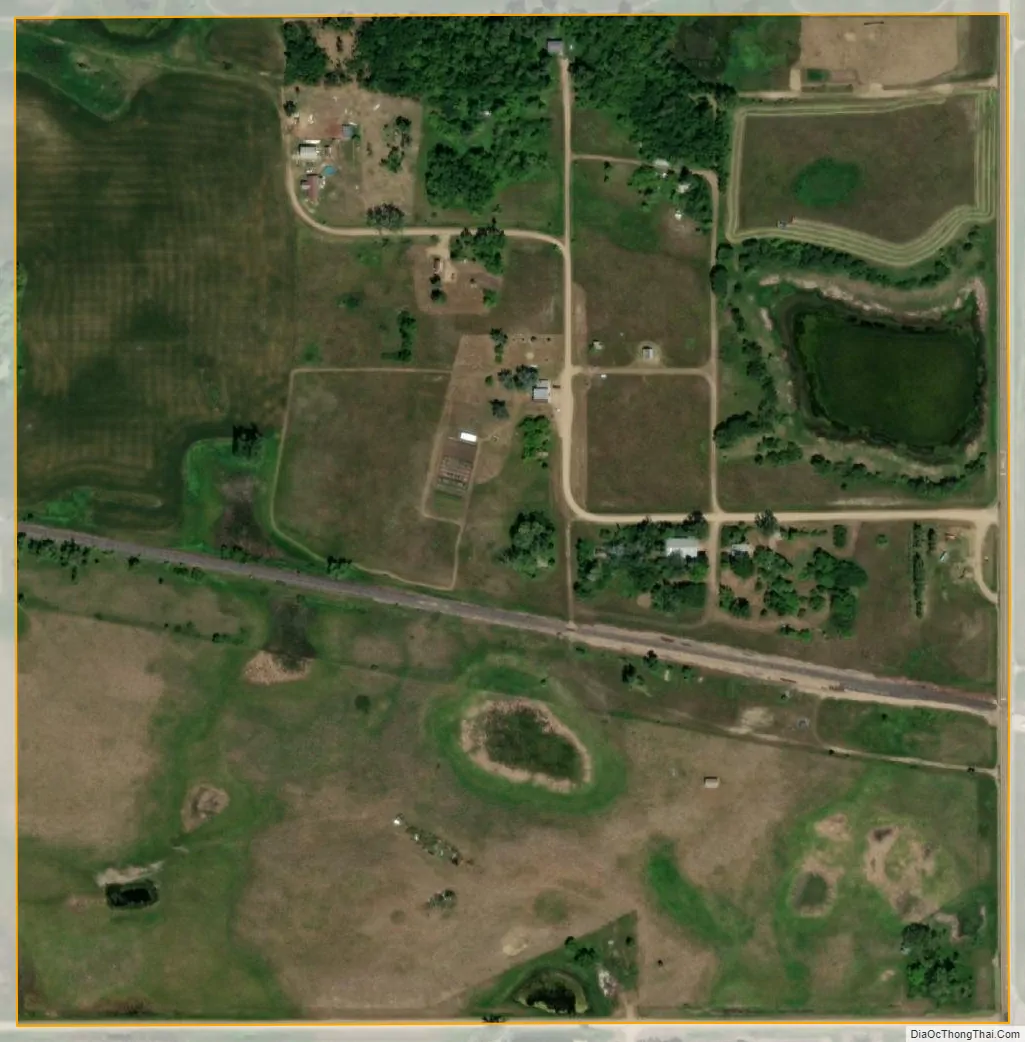
Ruso city Satellite Map
Geography
Ruso is located at 47°50′16″N 100°55′58″W / 47.83778°N 100.93278°W / 47.83778; -100.93278 (47.837812, -100.932834).
According to the United States Census Bureau, the city has a total area of 0.25 square miles (0.65 km), all land.
See also
Map of North Dakota State and its subdivision:- Adams
- Barnes
- Benson
- Billings
- Bottineau
- Bowman
- Burke
- Burleigh
- Cass
- Cavalier
- Dickey
- Divide
- Dunn
- Eddy
- Emmons
- Foster
- Golden Valley
- Grand Forks
- Grant
- Griggs
- Hettinger
- Kidder
- Lamoure
- Logan
- McHenry
- McIntosh
- McKenzie
- McLean
- Mercer
- Morton
- Mountrail
- Nelson
- Oliver
- Pembina
- Pierce
- Ramsey
- Ransom
- Renville
- Richland
- Rolette
- Sargent
- Sheridan
- Sioux
- Slope
- Stark
- Steele
- Stutsman
- Towner
- Traill
- Walsh
- Ward
- Wells
- Williams
- Alabama
- Alaska
- Arizona
- Arkansas
- California
- Colorado
- Connecticut
- Delaware
- District of Columbia
- Florida
- Georgia
- Hawaii
- Idaho
- Illinois
- Indiana
- Iowa
- Kansas
- Kentucky
- Louisiana
- Maine
- Maryland
- Massachusetts
- Michigan
- Minnesota
- Mississippi
- Missouri
- Montana
- Nebraska
- Nevada
- New Hampshire
- New Jersey
- New Mexico
- New York
- North Carolina
- North Dakota
- Ohio
- Oklahoma
- Oregon
- Pennsylvania
- Rhode Island
- South Carolina
- South Dakota
- Tennessee
- Texas
- Utah
- Vermont
- Virginia
- Washington
- West Virginia
- Wisconsin
- Wyoming