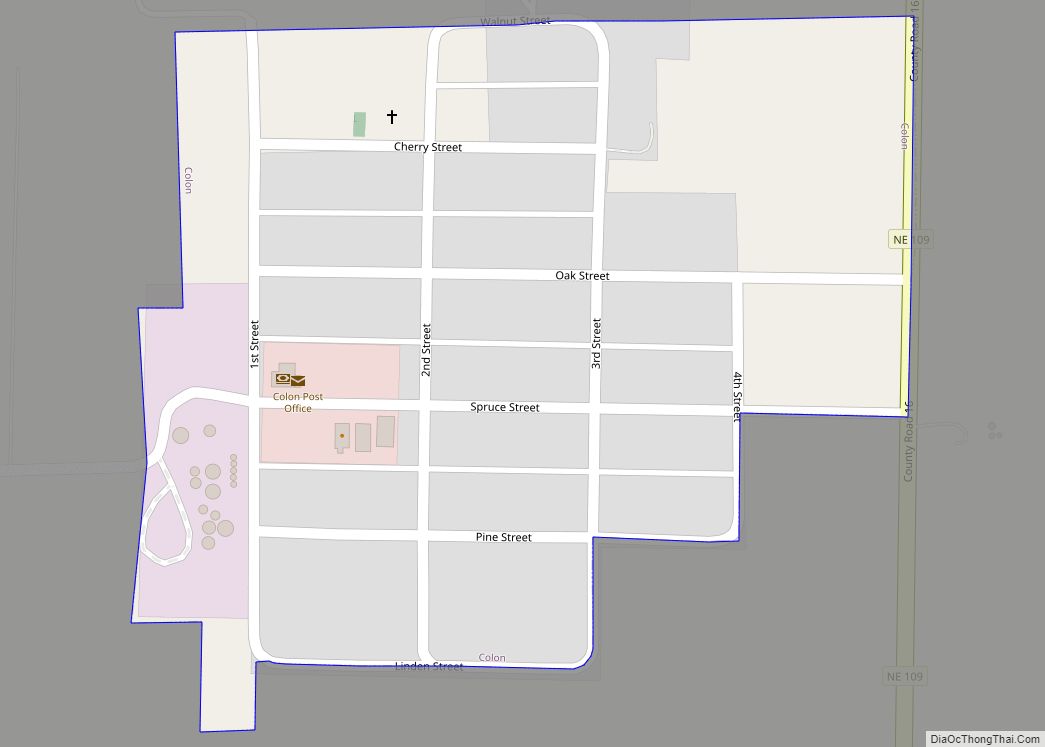
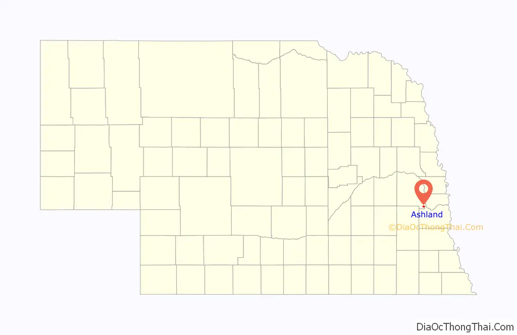
Ashland is a city in Saunders County, Nebraska, United States. The population was 3,086 at the 2020 census.
| Name: | Ashland city |
|---|---|
| LSAD Code: | 25 |
| LSAD Description: | city (suffix) |
| State: | Nebraska |
| County: | Saunders County |
| Elevation: | 1,093 ft (333 m) |
| Total Area: | 1.41 sq mi (3.65 km²) |
| Land Area: | 1.38 sq mi (3.58 km²) |
| Water Area: | 0.03 sq mi (0.07 km²) |
| Total Population: | 3,086 |
| Population Density: | 2,231.38/sq mi (861.57/km²) |
| ZIP code: | 68003 |
| Area code: | 402 |
| FIPS code: | 3102305 |
| GNISfeature ID: | 2394000 |
| Website: | http://www.ashland-ne.com/ |
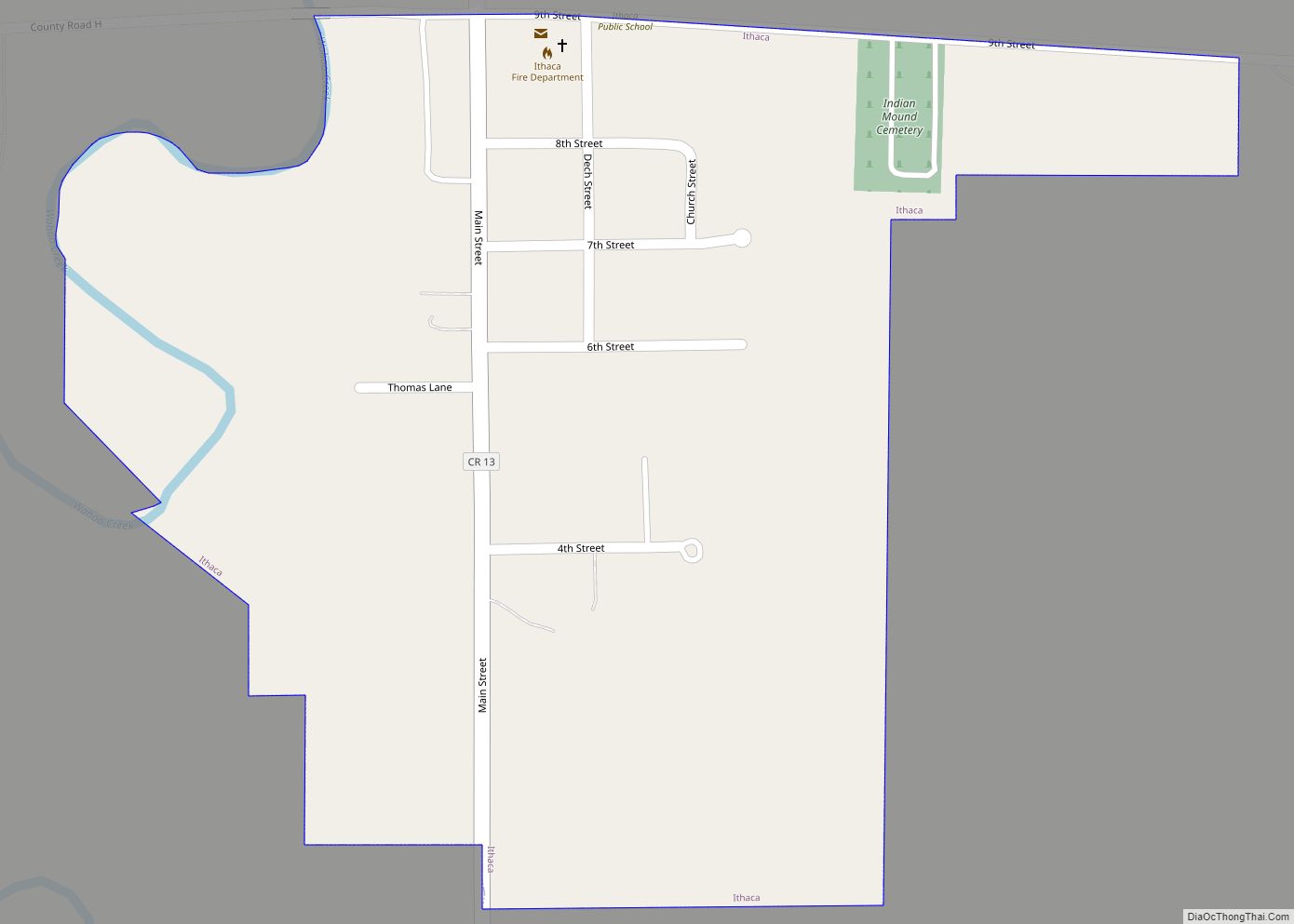
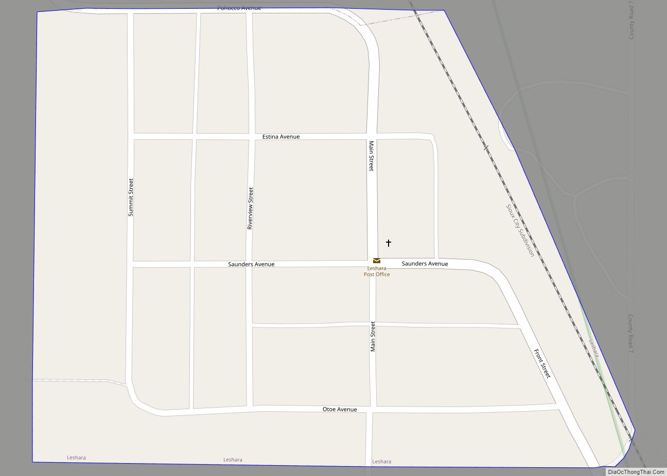
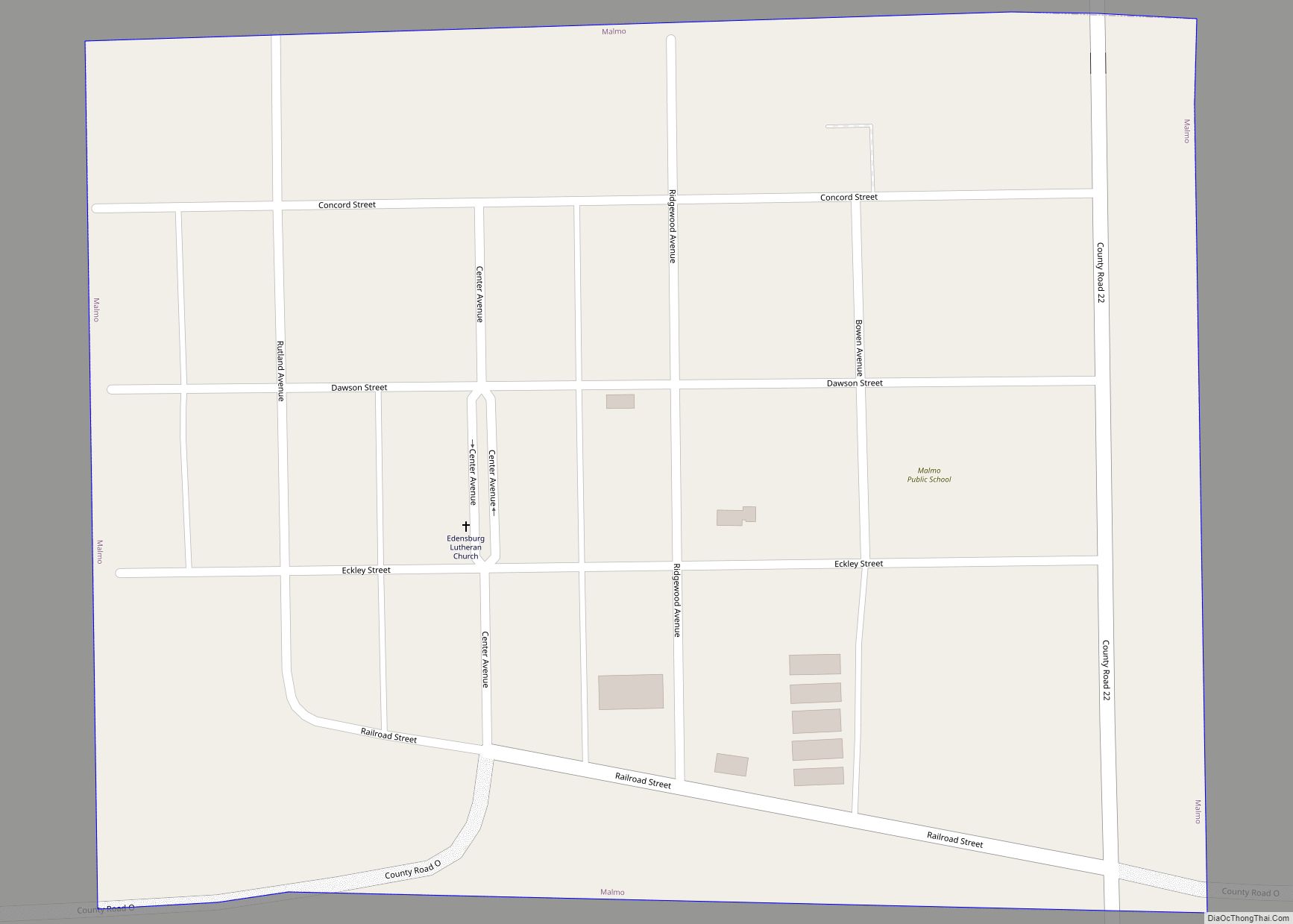
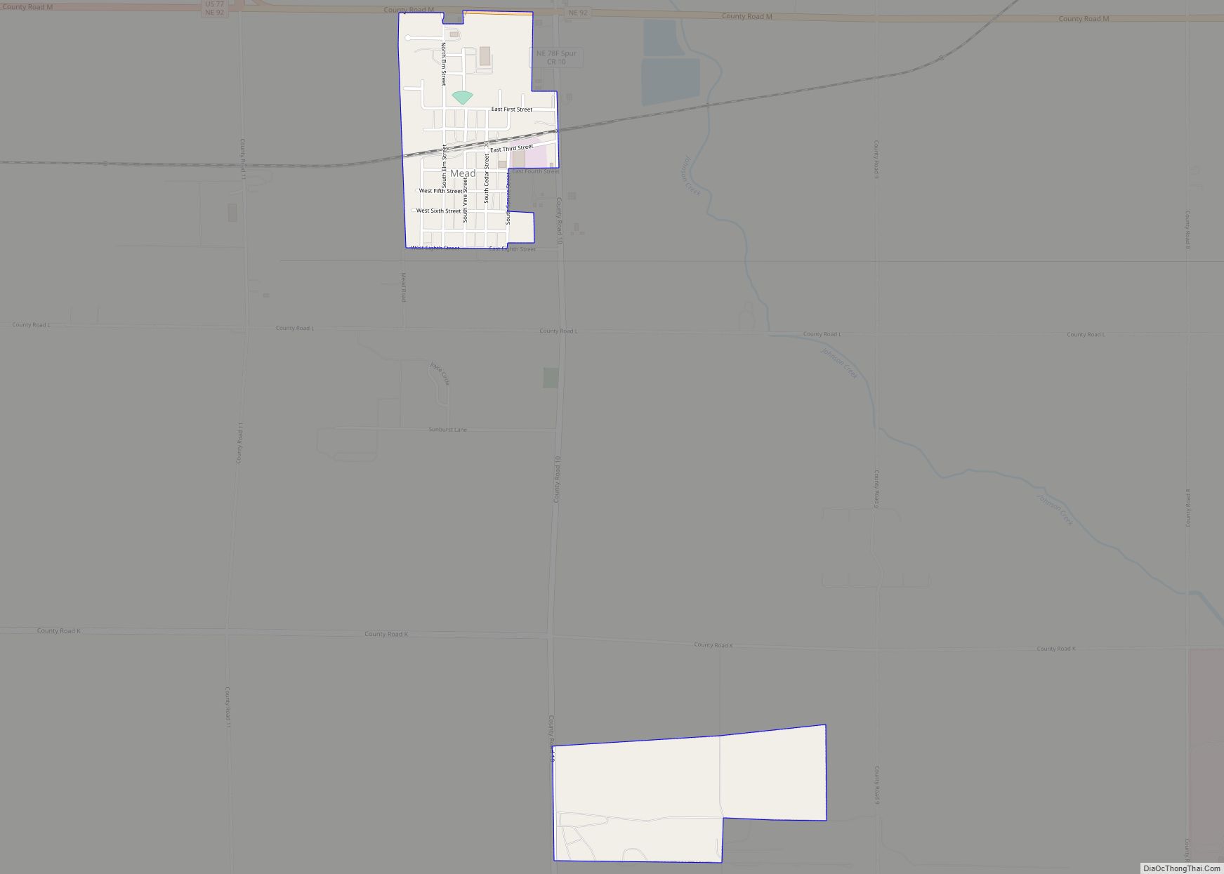
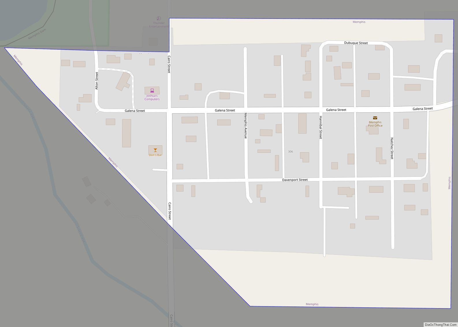
Online Interactive Map
Click on ![]() to view map in "full screen" mode.
to view map in "full screen" mode.
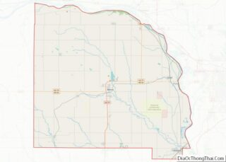
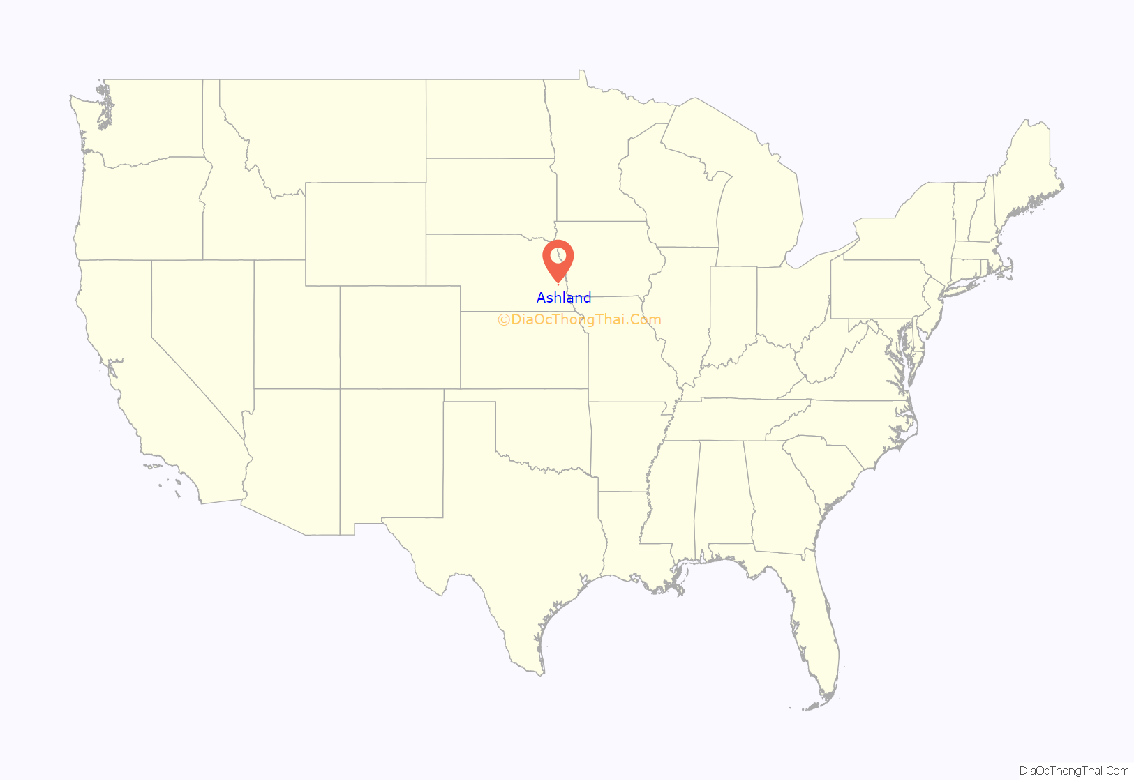
Ashland location map. Where is Ashland city?
History
Ashland is located at the site of a low-water limestone ledge along the bottom of Salt Creek, an otherwise mud-bottomed stream that was a formidable obstacle for wagon trains on the great westward migrations of the late 1840s and 1850s. The Oxbow Trail, a variant route of the Oregon Trail, ran from Nebraska City (on the Missouri River) to Fort Kearny (on the Platte River), where it joined the main route of the Oregon Trail. The limestone bottom of Salt Creek at Ashland made it an excellent fording site. Ashland was established in 1870 and named after Ashland, the estate of Henry Clay.
Today, Ashland benefits by its proximity to Interstate 80 and the cities of Omaha and Lincoln. While in some respects Ashland is becoming a “bedroom community” of those much larger cities, it retains a rural character. That coherence as a community, and a 30-minute drive to either of the state’s economic hubs, has led to a building boom in the late 1990s and the 2000s.
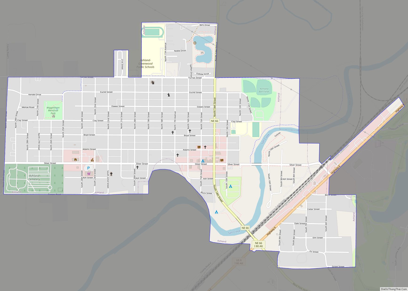
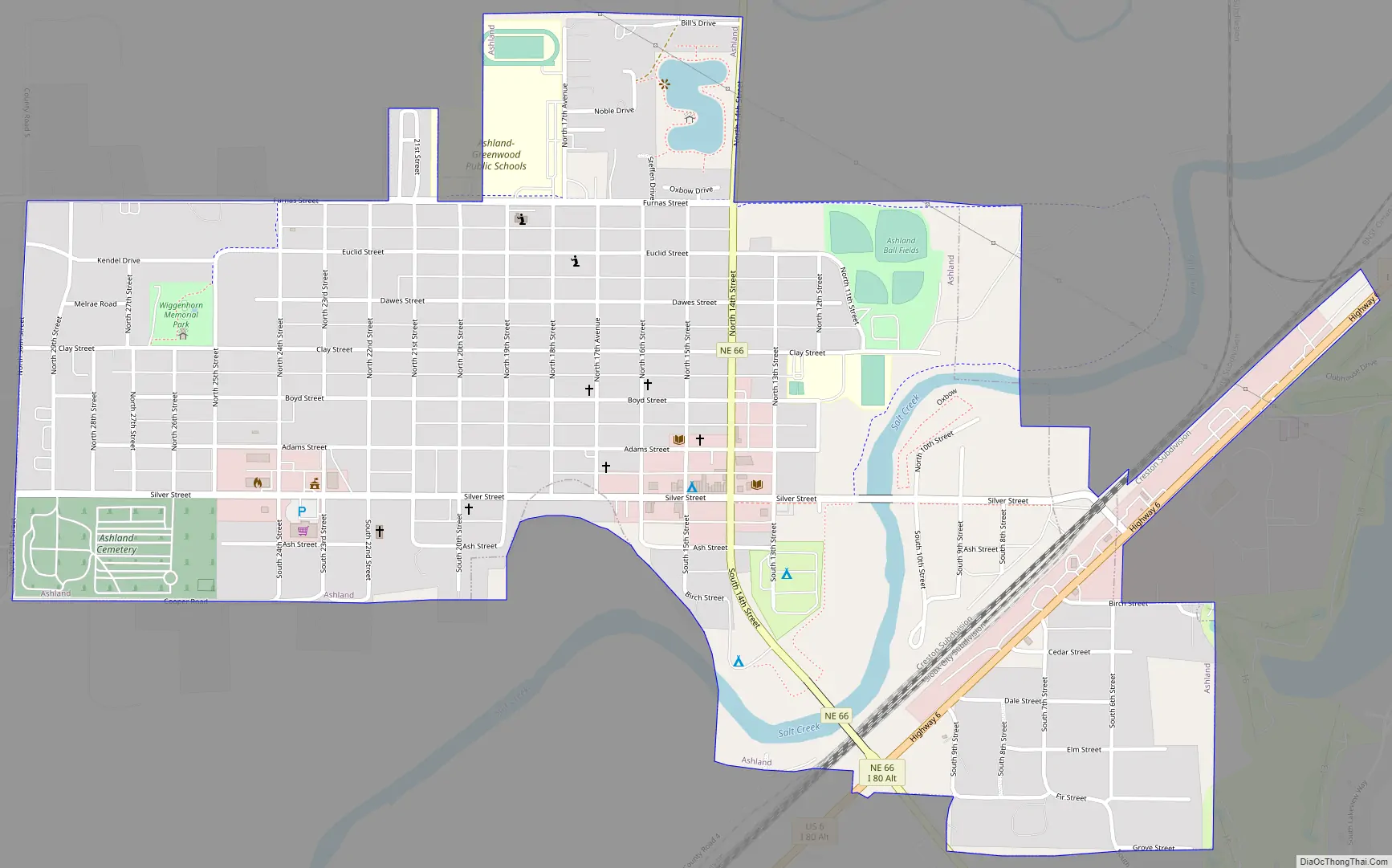
Ashland Road Map
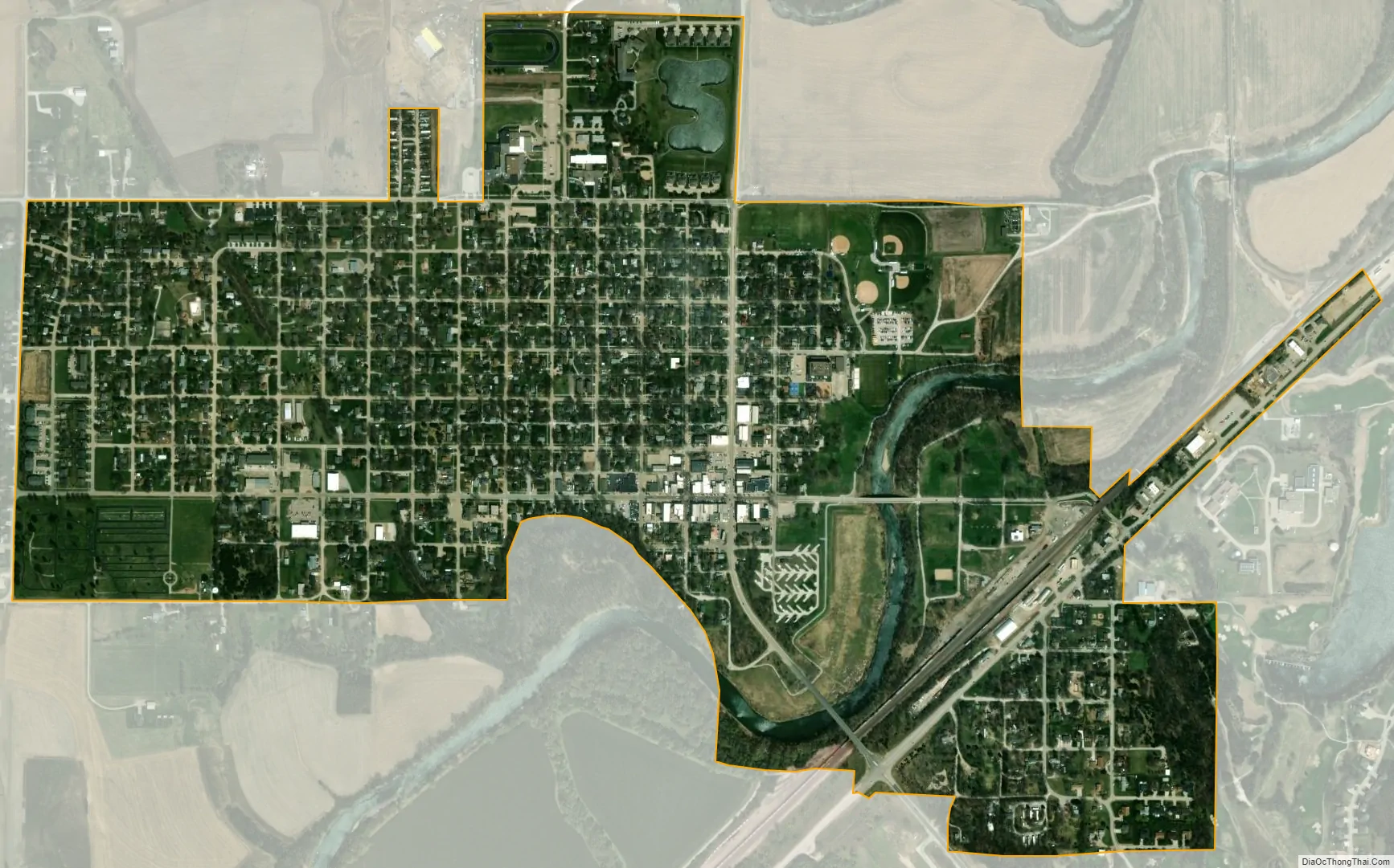
Ashland city Satellite Map
Geography
According to the United States Census Bureau, the city has a total area of 1.13 square miles (2.93 km), of which 1.10 square miles (2.85 km) is land and 0.03 square miles (0.08 km) is water.
See also
Map of Nebraska State and its subdivision:- Adams
- Antelope
- Arthur
- Banner
- Blaine
- Boone
- Box Butte
- Boyd
- Brown
- Buffalo
- Burt
- Butler
- Cass
- Cedar
- Chase
- Cherry
- Cheyenne
- Clay
- Colfax
- Cuming
- Custer
- Dakota
- Dawes
- Dawson
- Deuel
- Dixon
- Dodge
- Douglas
- Dundy
- Fillmore
- Franklin
- Frontier
- Furnas
- Gage
- Garden
- Garfield
- Gosper
- Grant
- Greeley
- Hall
- Hamilton
- Harlan
- Hayes
- Hitchcock
- Holt
- Hooker
- Howard
- Jefferson
- Johnson
- Kearney
- Keith
- Keya Paha
- Kimball
- Knox
- Lancaster
- Lincoln
- Logan
- Loup
- Madison
- McPherson
- Merrick
- Morrill
- Nance
- Nemaha
- Nuckolls
- Otoe
- Pawnee
- Perkins
- Phelps
- Pierce
- Platte
- Polk
- Red Willow
- Richardson
- Rock
- Saline
- Sarpy
- Saunders
- Scotts Bluff
- Seward
- Sheridan
- Sherman
- Sioux
- Stanton
- Thayer
- Thomas
- Thurston
- Valley
- Washington
- Wayne
- Webster
- Wheeler
- York
- Alabama
- Alaska
- Arizona
- Arkansas
- California
- Colorado
- Connecticut
- Delaware
- District of Columbia
- Florida
- Georgia
- Hawaii
- Idaho
- Illinois
- Indiana
- Iowa
- Kansas
- Kentucky
- Louisiana
- Maine
- Maryland
- Massachusetts
- Michigan
- Minnesota
- Mississippi
- Missouri
- Montana
- Nebraska
- Nevada
- New Hampshire
- New Jersey
- New Mexico
- New York
- North Carolina
- North Dakota
- Ohio
- Oklahoma
- Oregon
- Pennsylvania
- Rhode Island
- South Carolina
- South Dakota
- Tennessee
- Texas
- Utah
- Vermont
- Virginia
- Washington
- West Virginia
- Wisconsin
- Wyoming