Bancroft is a village in Cuming County, Nebraska, United States. The population was 495 at the 2010 census.
John Neihardt, who later became Nebraska’s poet laureate, lived in Bancroft for twenty years and wrote many of his works there. His study is preserved at the John G. Neihardt State Historic Site in the village.
| Name: | Bancroft village |
|---|---|
| LSAD Code: | 47 |
| LSAD Description: | village (suffix) |
| State: | Nebraska |
| County: | Cuming County |
| Elevation: | 1,339 ft (408 m) |
| Total Area: | 0.37 sq mi (0.95 km²) |
| Land Area: | 0.37 sq mi (0.95 km²) |
| Water Area: | 0.00 sq mi (0.00 km²) |
| Total Population: | 496 |
| Population Density: | 1,355.19/sq mi (523.01/km²) |
| ZIP code: | 68004 |
| Area code: | 402 |
| FIPS code: | 3103005 |
| GNISfeature ID: | 0827170 |
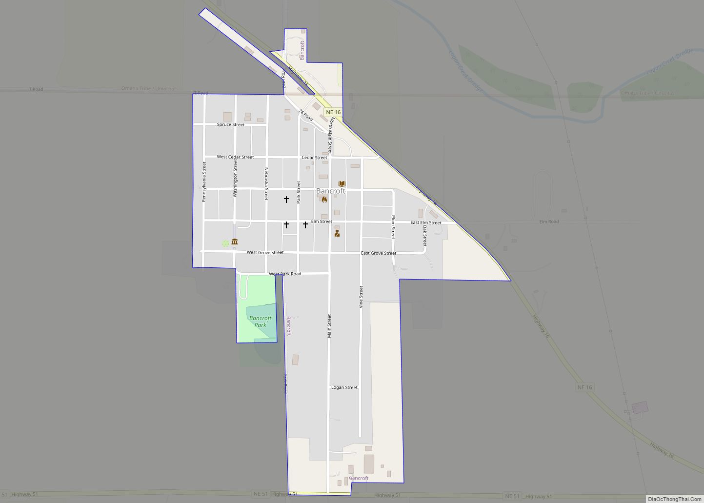
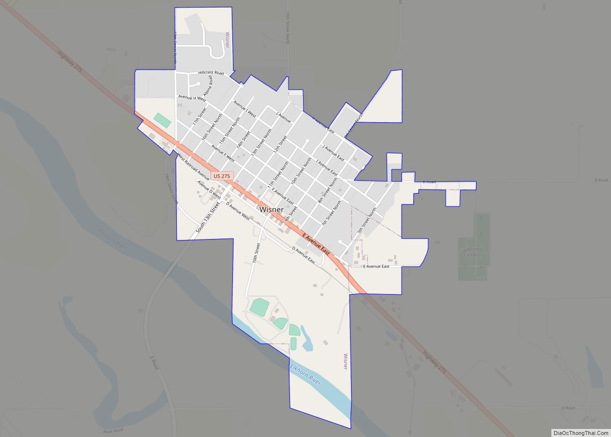
Online Interactive Map
Click on ![]() to view map in "full screen" mode.
to view map in "full screen" mode.
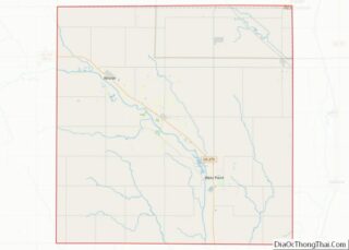
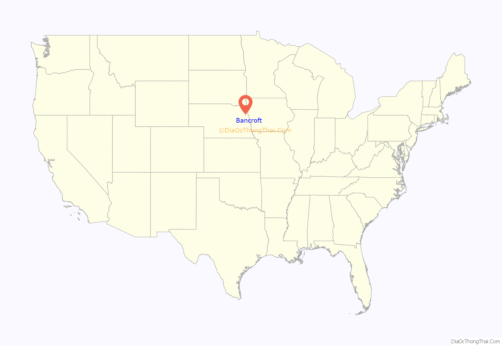
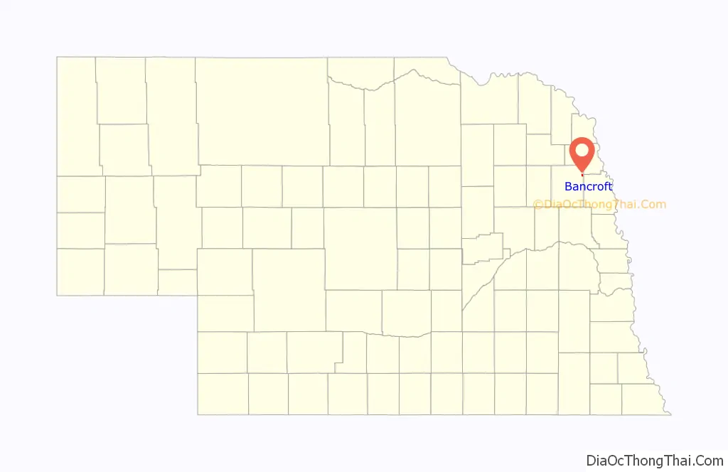
Bancroft location map. Where is Bancroft village?
History
Succeeding cultures of indigenous peoples lived in the area for thousands of years before European encounter. By the mid-eighteenth century, the Omaha tribe lived on the west side of the Missouri River throughout this area.
The settlement was originally known as Unashta Zinga, meaning “little stopping place” in a Native American language. The site that became Bancroft was homesteaded in the mid-1870s by Ford Bella Barber and Deborah (Watson) Barber, who came from Maine to settle in Nebraska. In 1880, when the Chicago, St. Paul, Minneapolis and Omaha Railway began planning a line through the area, the Barbers deeded 80 acres (32 ha) of land to the railway for the platting of a town. At that time, the approximately 25 residents were of mostly German, Irish, and Scandinavian descent; some were immigrants. When the village was platted, townspeople named it Barbersville, but the couple refused the honor. The village was named after George Bancroft. Sources differ on who this was. In her 1925 Nebraska Place-Names, Lilian Linder Fitzpatrick says that it was historian George Bancroft. However, more recent sources say that the Bancroft whose name was used was “a well-liked civil engineer with the railroad”.
In 1884, 50,000 acres (20,000 ha) of the Omaha Reservation was sold to “actual residents”. This brought an influx of white settlers to that portion of the reservation; and Bancroft, located at the southern edge of the reservation, profited from the increased business. The population grew until 1910, when it reached a peak of 742. The Great Depression drove many of Bancroft’s residents away to larger cities; but the onset of World War II brought a revival of prosperity.
Bancroft Road Map
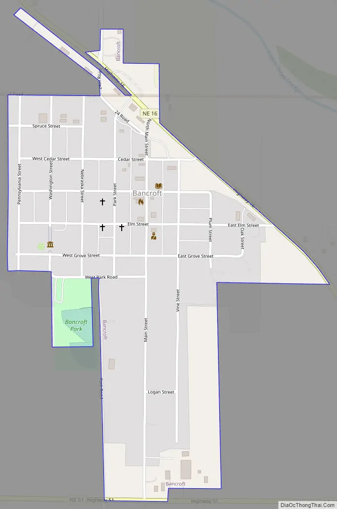
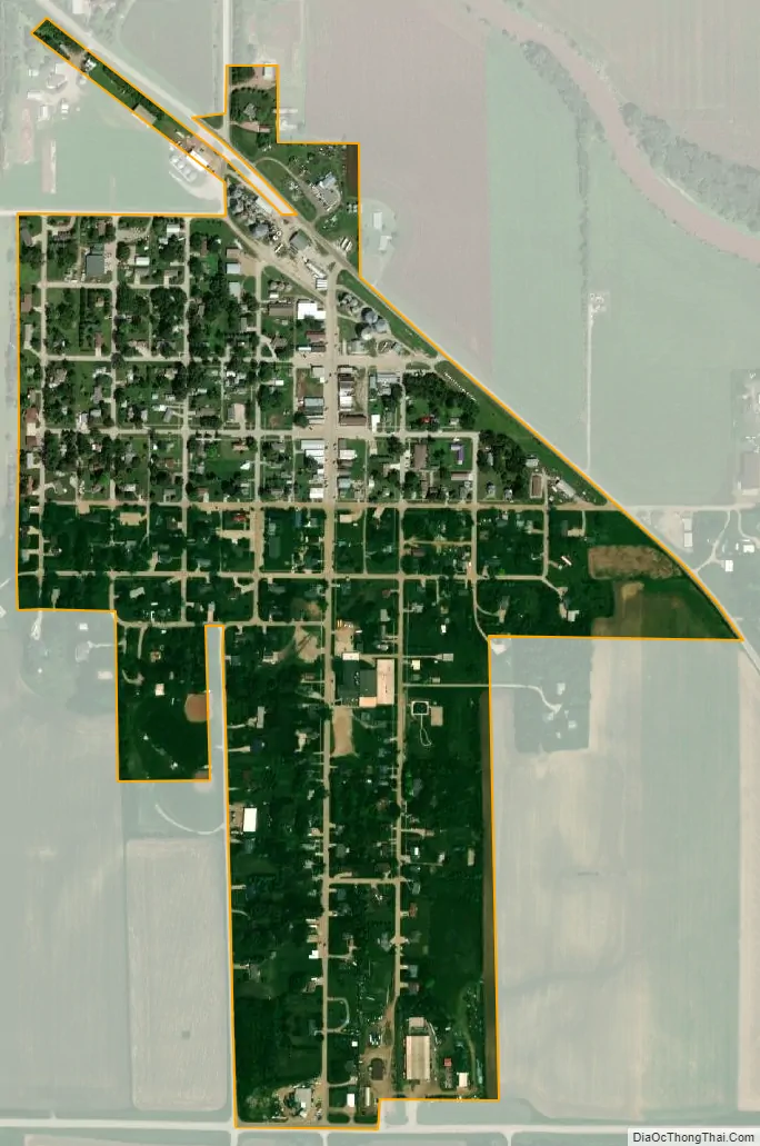
Bancroft city Satellite Map
Geography
Bancroft is located at 42°0’40” North, 96°34’24” West (42.011235, -96.573327). It is 19 miles (31 km) northeast of the county seat of West Point.
According to the United States Census Bureau, the village has a total area of 0.37 square miles (0.96 km), all land.
See also
Map of Nebraska State and its subdivision:- Adams
- Antelope
- Arthur
- Banner
- Blaine
- Boone
- Box Butte
- Boyd
- Brown
- Buffalo
- Burt
- Butler
- Cass
- Cedar
- Chase
- Cherry
- Cheyenne
- Clay
- Colfax
- Cuming
- Custer
- Dakota
- Dawes
- Dawson
- Deuel
- Dixon
- Dodge
- Douglas
- Dundy
- Fillmore
- Franklin
- Frontier
- Furnas
- Gage
- Garden
- Garfield
- Gosper
- Grant
- Greeley
- Hall
- Hamilton
- Harlan
- Hayes
- Hitchcock
- Holt
- Hooker
- Howard
- Jefferson
- Johnson
- Kearney
- Keith
- Keya Paha
- Kimball
- Knox
- Lancaster
- Lincoln
- Logan
- Loup
- Madison
- McPherson
- Merrick
- Morrill
- Nance
- Nemaha
- Nuckolls
- Otoe
- Pawnee
- Perkins
- Phelps
- Pierce
- Platte
- Polk
- Red Willow
- Richardson
- Rock
- Saline
- Sarpy
- Saunders
- Scotts Bluff
- Seward
- Sheridan
- Sherman
- Sioux
- Stanton
- Thayer
- Thomas
- Thurston
- Valley
- Washington
- Wayne
- Webster
- Wheeler
- York
- Alabama
- Alaska
- Arizona
- Arkansas
- California
- Colorado
- Connecticut
- Delaware
- District of Columbia
- Florida
- Georgia
- Hawaii
- Idaho
- Illinois
- Indiana
- Iowa
- Kansas
- Kentucky
- Louisiana
- Maine
- Maryland
- Massachusetts
- Michigan
- Minnesota
- Mississippi
- Missouri
- Montana
- Nebraska
- Nevada
- New Hampshire
- New Jersey
- New Mexico
- New York
- North Carolina
- North Dakota
- Ohio
- Oklahoma
- Oregon
- Pennsylvania
- Rhode Island
- South Carolina
- South Dakota
- Tennessee
- Texas
- Utah
- Vermont
- Virginia
- Washington
- West Virginia
- Wisconsin
- Wyoming