West Point is a city in and the county seat of Cuming County, Nebraska, United States. The population was 3,504 at the 2020 census.
| Name: | West Point city |
|---|---|
| LSAD Code: | 25 |
| LSAD Description: | city (suffix) |
| State: | Nebraska |
| County: | Cuming County |
| Elevation: | 1,348 ft (411 m) |
| Total Area: | 2.85 sq mi (7.39 km²) |
| Land Area: | 2.84 sq mi (7.35 km²) |
| Water Area: | 0.01 sq mi (0.03 km²) |
| Total Population: | 3,500 |
| Population Density: | 1,232.39/sq mi (475.88/km²) |
| ZIP code: | 68788 |
| Area code: | 402 |
| FIPS code: | 3152575 |
| GNISfeature ID: | 0834614 |
| Website: | http://www.ci.west-point.ne.us/ |
Online Interactive Map
Click on ![]() to view map in "full screen" mode.
to view map in "full screen" mode.
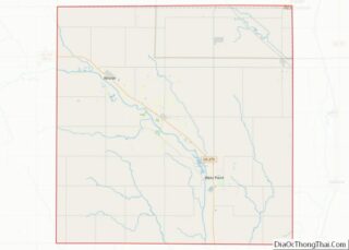
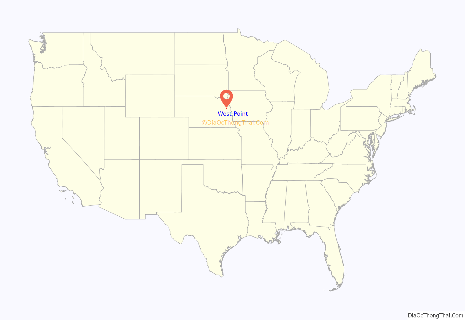
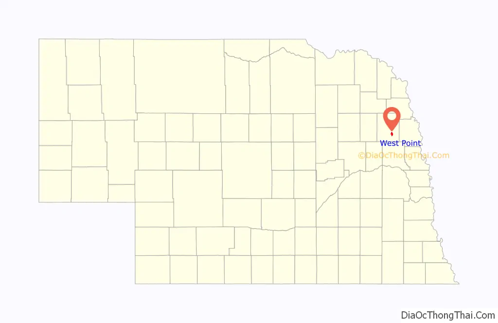
West Point location map. Where is West Point city?
History
West Point was first founded in the spring of 1857, when Omaha businessmen formed the Nebraska Settlement Association in order to find suitable townsites in the Elkhorn Valley. Uriah, John, and Andrew Bruner (three brothers originally from Pennsylvania), and William Sexauer chose the present location on a bend along a river, which they called New Philadelphia. The name was soon changed to West Point because it was the westernmost outpost along the valley.
West Point became the county seat of Cuming County on October 12, 1858 after winning the election over the community of DeWitt. A total of 19 votes were split between the two towns with West Point obtaining 12 votes. By the spring of 1859, over 4,000 Pawnee natives flooded the Elkhorn Valley during a hunting excursion and, displeased to find white settlers in the valley, burned several homesteads and killed livestock. The so-called Pawnee War ended near Battle Creek without a fight.
West Point grew slowly at first, but with the coming of the railroad in 1870, it boomed to a population of over 700.
By the mid-1970s, the future of railroad service came into question. The Chicago & North Western tracks had been experiencing mildly declining freight traffic volumes. Revenue railroad service ultimately ended in spring of 1982, when flooding from the Elkhorn River damaged sections of the track. With freight traffic mildly declining & flooding damage, the C&NW promptly filed a request with the Interstate Commerce Commission to abandon the line. Permission was granted a short time later, leaving the tracks with a dismal future. Plans were made to revive railroad service from the newly formed Fremont & Elkhorn Valley Railroad, who purchased the abandoned C&NW track. However, the costs were too high to revive railroad service, and the tracks were removed in 1988.
On August 26, 2019, the DHHS announced that the city’s water was unsafe to drink after a year of complaints from citizens of the town. The maximum safe level of manganese for infants had been exceeded by over 700 micrograms per mL.
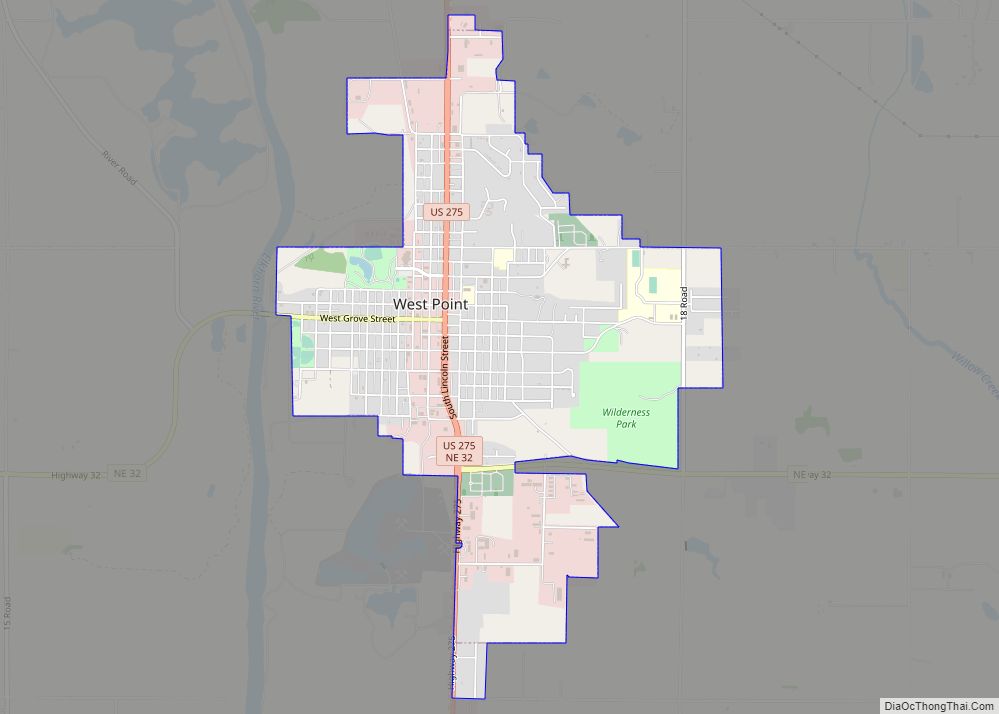
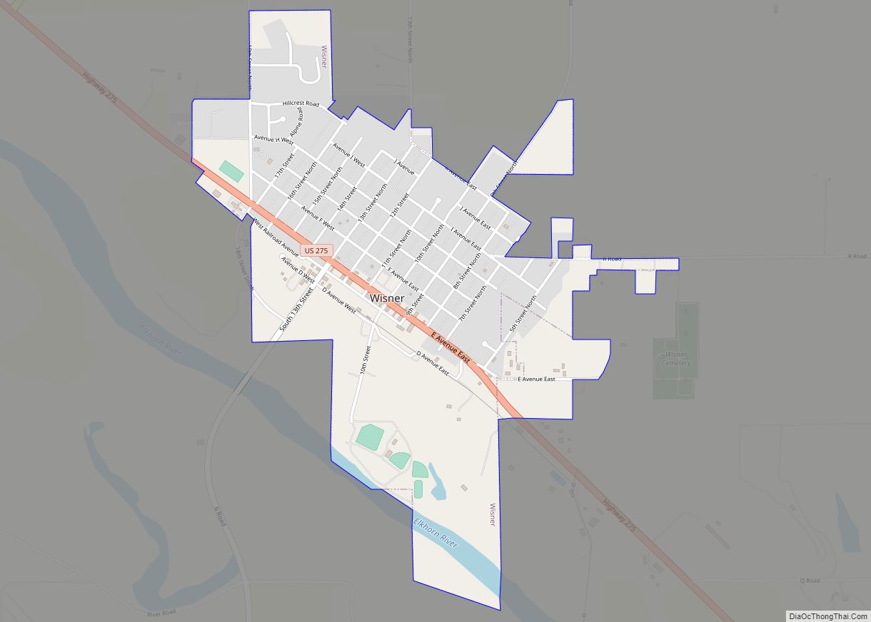
West Point Road Map

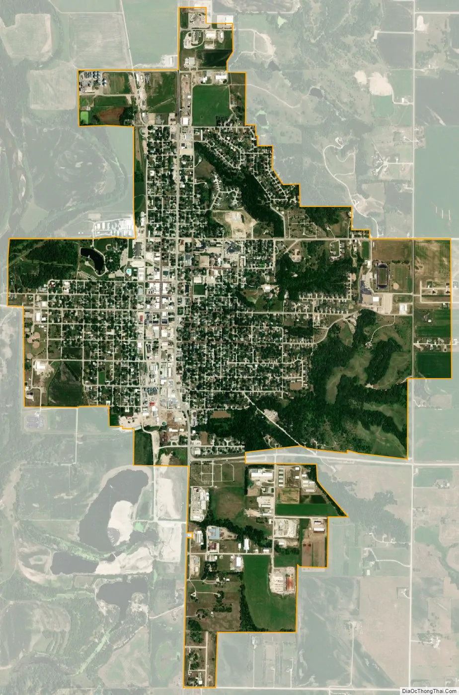
West Point city Satellite Map
Geography
West Point is located at 41°50′23″N 96°42′41″W / 41.83972°N 96.71139°W / 41.83972; -96.71139 (41.839635, -96.711406).
According to the United States Census Bureau, the city has a total area of 2.73 square miles (7.07 km), of which 2.72 square miles (7.04 km) is land and 0.01 square miles (0.03 km) is water. West Point lies on the eastern bank of the Elkhorn River.
Climate
See also
Map of Nebraska State and its subdivision:- Adams
- Antelope
- Arthur
- Banner
- Blaine
- Boone
- Box Butte
- Boyd
- Brown
- Buffalo
- Burt
- Butler
- Cass
- Cedar
- Chase
- Cherry
- Cheyenne
- Clay
- Colfax
- Cuming
- Custer
- Dakota
- Dawes
- Dawson
- Deuel
- Dixon
- Dodge
- Douglas
- Dundy
- Fillmore
- Franklin
- Frontier
- Furnas
- Gage
- Garden
- Garfield
- Gosper
- Grant
- Greeley
- Hall
- Hamilton
- Harlan
- Hayes
- Hitchcock
- Holt
- Hooker
- Howard
- Jefferson
- Johnson
- Kearney
- Keith
- Keya Paha
- Kimball
- Knox
- Lancaster
- Lincoln
- Logan
- Loup
- Madison
- McPherson
- Merrick
- Morrill
- Nance
- Nemaha
- Nuckolls
- Otoe
- Pawnee
- Perkins
- Phelps
- Pierce
- Platte
- Polk
- Red Willow
- Richardson
- Rock
- Saline
- Sarpy
- Saunders
- Scotts Bluff
- Seward
- Sheridan
- Sherman
- Sioux
- Stanton
- Thayer
- Thomas
- Thurston
- Valley
- Washington
- Wayne
- Webster
- Wheeler
- York
- Alabama
- Alaska
- Arizona
- Arkansas
- California
- Colorado
- Connecticut
- Delaware
- District of Columbia
- Florida
- Georgia
- Hawaii
- Idaho
- Illinois
- Indiana
- Iowa
- Kansas
- Kentucky
- Louisiana
- Maine
- Maryland
- Massachusetts
- Michigan
- Minnesota
- Mississippi
- Missouri
- Montana
- Nebraska
- Nevada
- New Hampshire
- New Jersey
- New Mexico
- New York
- North Carolina
- North Dakota
- Ohio
- Oklahoma
- Oregon
- Pennsylvania
- Rhode Island
- South Carolina
- South Dakota
- Tennessee
- Texas
- Utah
- Vermont
- Virginia
- Washington
- West Virginia
- Wisconsin
- Wyoming