Cornlea is a village in Platte County, Nebraska, United States. The population was 36 at the 2010 census.
| Name: | Cornlea village |
|---|---|
| LSAD Code: | 47 |
| LSAD Description: | village (suffix) |
| State: | Nebraska |
| County: | Platte County |
| Elevation: | 1,722 ft (525 m) |
| Total Area: | 0.09 sq mi (0.24 km²) |
| Land Area: | 0.09 sq mi (0.24 km²) |
| Water Area: | 0.00 sq mi (0.00 km²) |
| Total Population: | 33 |
| Population Density: | 358.70/sq mi (137.79/km²) |
| ZIP code: | 68642 |
| Area code: | 402 |
| FIPS code: | 3110600 |
| GNISfeature ID: | 0828350 |
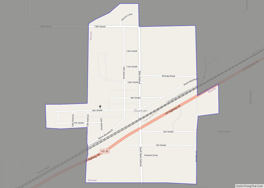
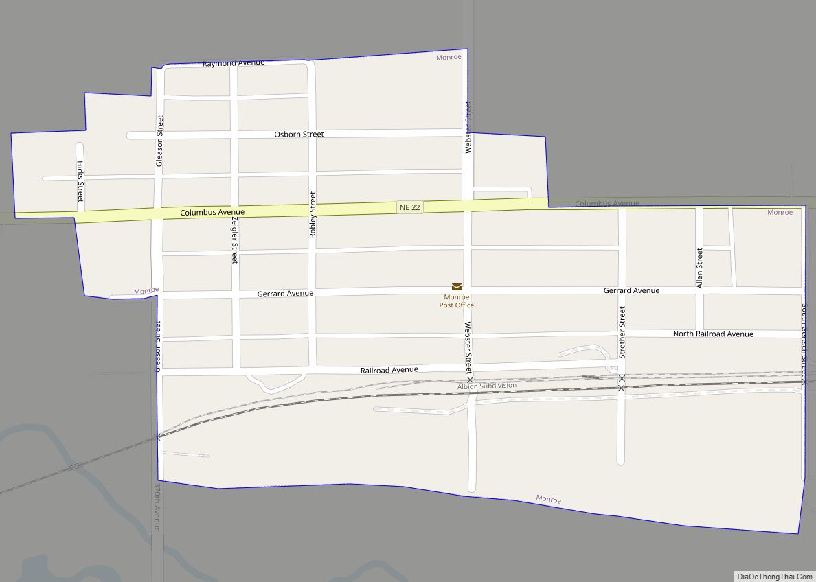
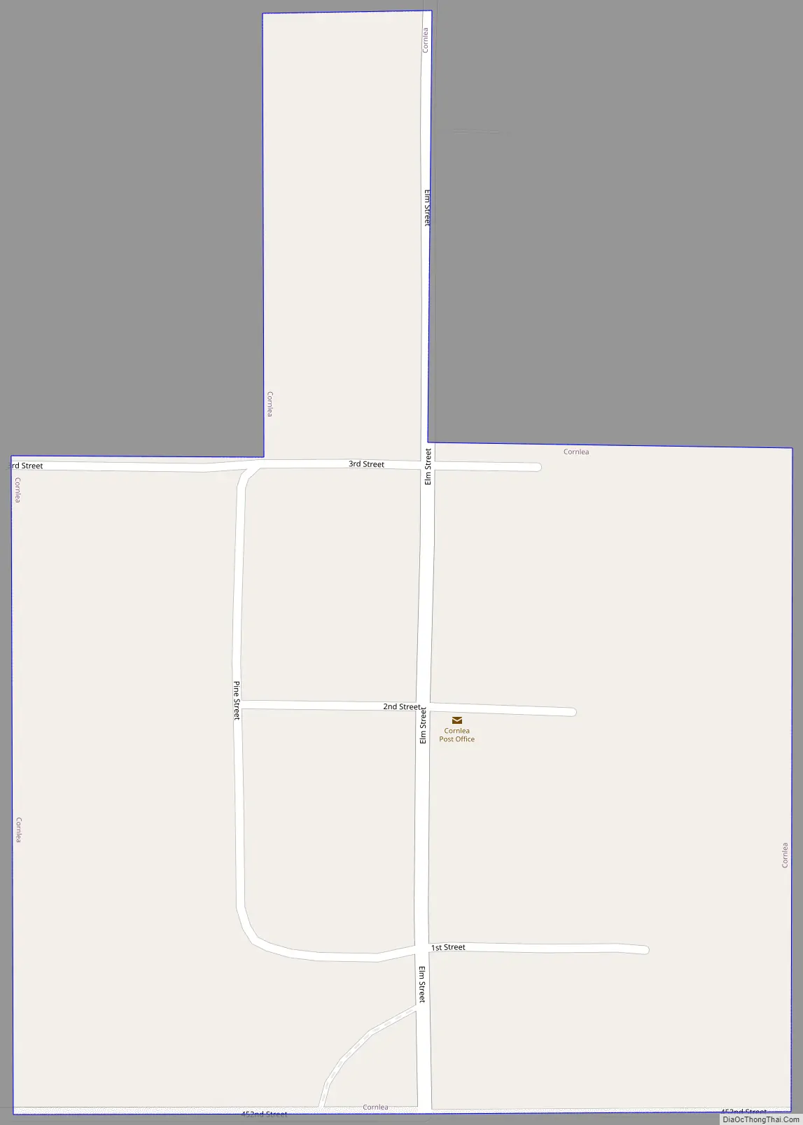
Online Interactive Map
Click on ![]() to view map in "full screen" mode.
to view map in "full screen" mode.
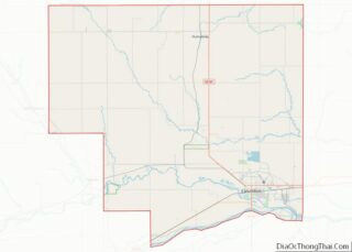
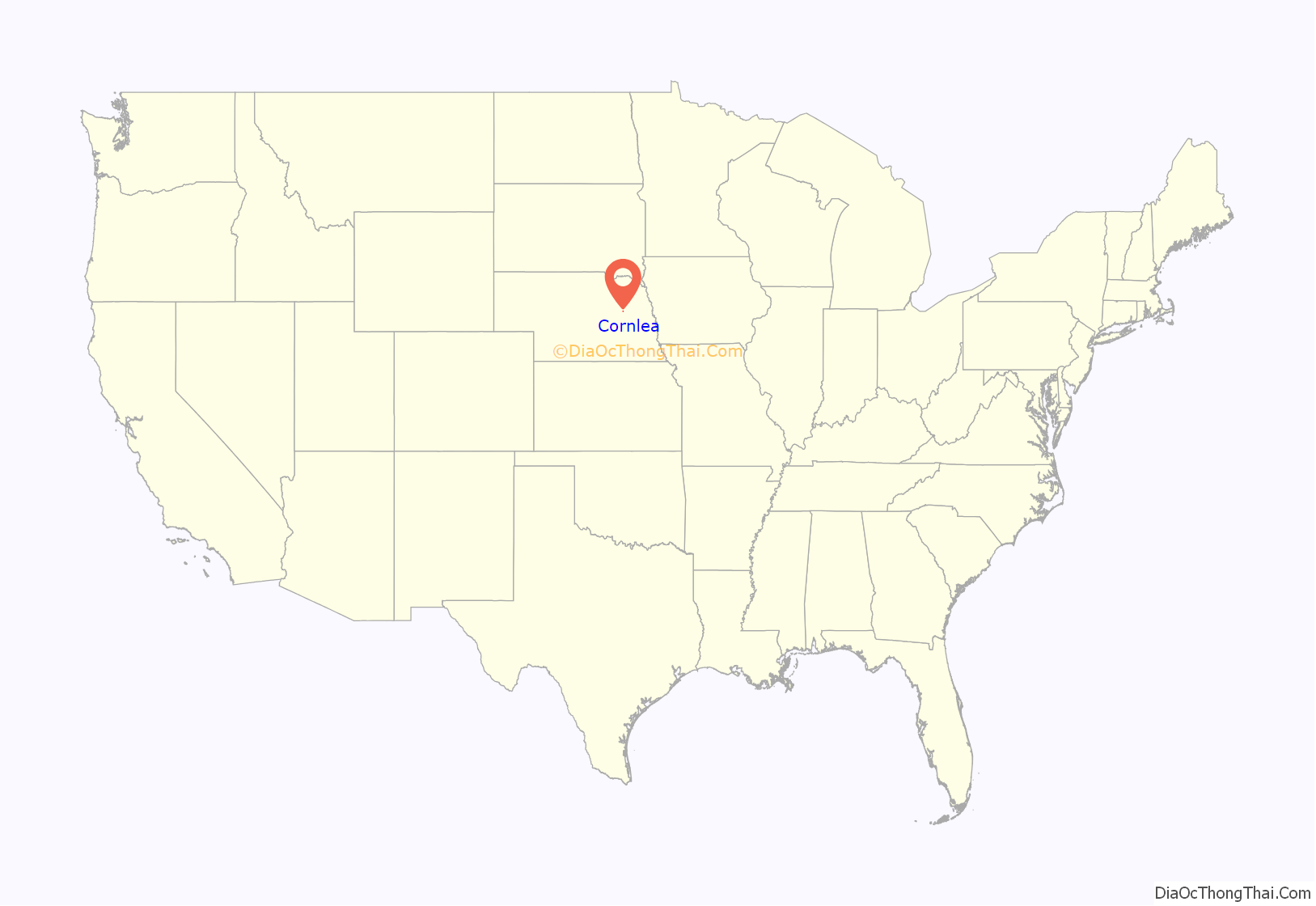
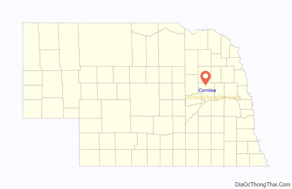
Cornlea location map. Where is Cornlea village?
History
Cornlea had its start in the year 1886 as a siding on the railroad. Cornlea’s location in the Corn Belt caused its name, meaning “land of corn”, to be selected. Cornlea was originally built up chiefly by German Catholics. The town was incorporated as a village in 1902.
A post office was established in Cornlea in 1887, and remained in operation until it was discontinued in 1989.
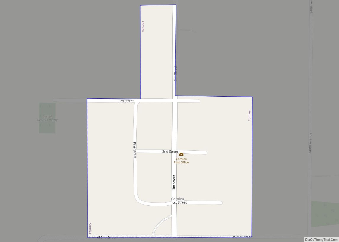
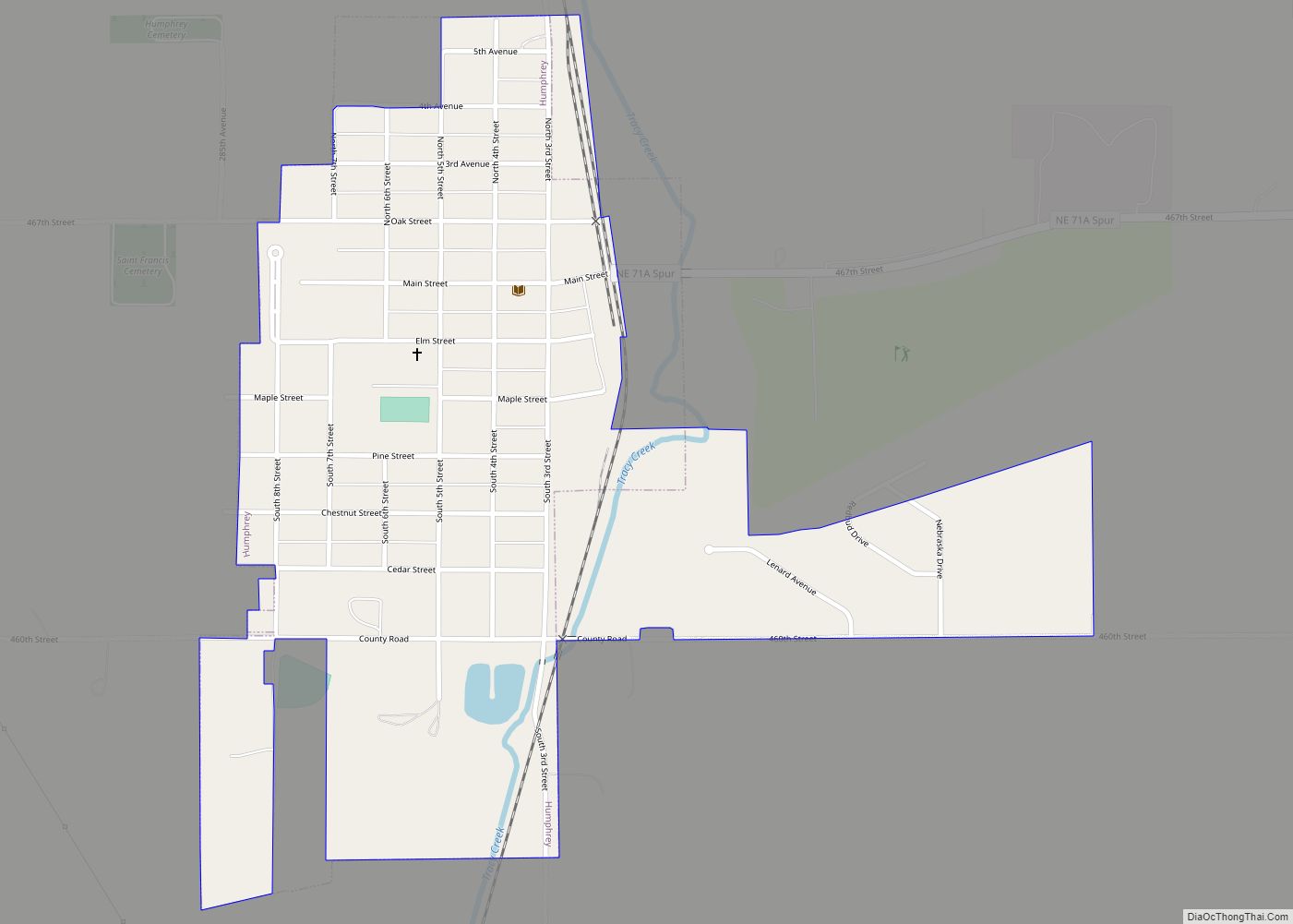
Cornlea Road Map
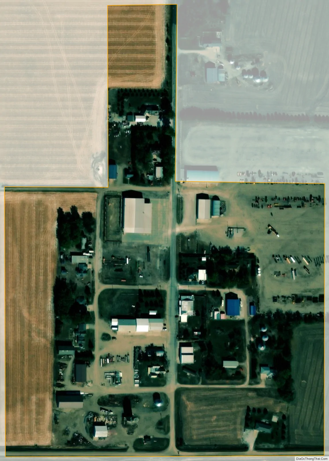
Cornlea city Satellite Map
Geography
Cornlea is located at 41°40′51″N 97°34′3″W / 41.68083°N 97.56750°W / 41.68083; -97.56750 (41.680732, -97.567415).
According to the United States Census Bureau, the village has a total area of 0.09 square miles (0.23 km), all land.
See also
Map of Nebraska State and its subdivision:- Adams
- Antelope
- Arthur
- Banner
- Blaine
- Boone
- Box Butte
- Boyd
- Brown
- Buffalo
- Burt
- Butler
- Cass
- Cedar
- Chase
- Cherry
- Cheyenne
- Clay
- Colfax
- Cuming
- Custer
- Dakota
- Dawes
- Dawson
- Deuel
- Dixon
- Dodge
- Douglas
- Dundy
- Fillmore
- Franklin
- Frontier
- Furnas
- Gage
- Garden
- Garfield
- Gosper
- Grant
- Greeley
- Hall
- Hamilton
- Harlan
- Hayes
- Hitchcock
- Holt
- Hooker
- Howard
- Jefferson
- Johnson
- Kearney
- Keith
- Keya Paha
- Kimball
- Knox
- Lancaster
- Lincoln
- Logan
- Loup
- Madison
- McPherson
- Merrick
- Morrill
- Nance
- Nemaha
- Nuckolls
- Otoe
- Pawnee
- Perkins
- Phelps
- Pierce
- Platte
- Polk
- Red Willow
- Richardson
- Rock
- Saline
- Sarpy
- Saunders
- Scotts Bluff
- Seward
- Sheridan
- Sherman
- Sioux
- Stanton
- Thayer
- Thomas
- Thurston
- Valley
- Washington
- Wayne
- Webster
- Wheeler
- York
- Alabama
- Alaska
- Arizona
- Arkansas
- California
- Colorado
- Connecticut
- Delaware
- District of Columbia
- Florida
- Georgia
- Hawaii
- Idaho
- Illinois
- Indiana
- Iowa
- Kansas
- Kentucky
- Louisiana
- Maine
- Maryland
- Massachusetts
- Michigan
- Minnesota
- Mississippi
- Missouri
- Montana
- Nebraska
- Nevada
- New Hampshire
- New Jersey
- New Mexico
- New York
- North Carolina
- North Dakota
- Ohio
- Oklahoma
- Oregon
- Pennsylvania
- Rhode Island
- South Carolina
- South Dakota
- Tennessee
- Texas
- Utah
- Vermont
- Virginia
- Washington
- West Virginia
- Wisconsin
- Wyoming