Duncan is a village in Platte County, Nebraska, United States. The population was 351 at the 2010 census.
| Name: | Duncan village |
|---|---|
| LSAD Code: | 47 |
| LSAD Description: | village (suffix) |
| State: | Nebraska |
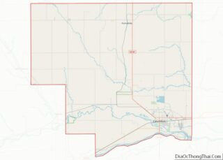
| County: | Platte County |
| Elevation: | 1,496 ft (456 m) |
| Total Area: | 0.47 sq mi (1.21 km²) |
| Land Area: | 0.47 sq mi (1.21 km²) |
| Water Area: | 0.00 sq mi (0.00 km²) |
| Total Population: | 392 |
| Population Density: | 837.61/sq mi (323.56/km²) |
| ZIP code: | 68634 |
| Area code: | 402 |
| FIPS code: | 3113890 |
| GNISfeature ID: | 0828887 |
| Website: | www.villageofduncan.com |
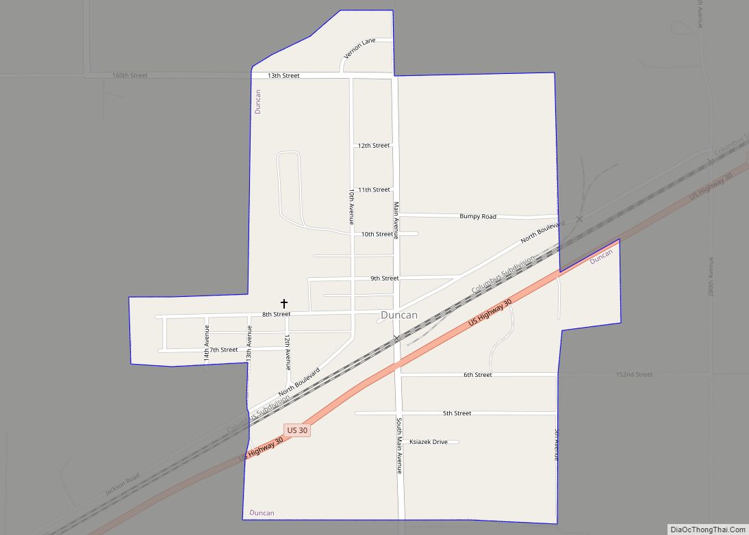
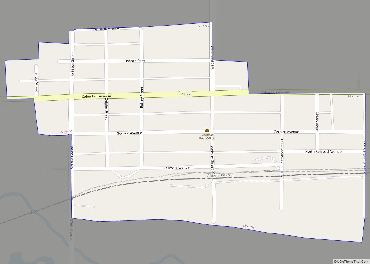
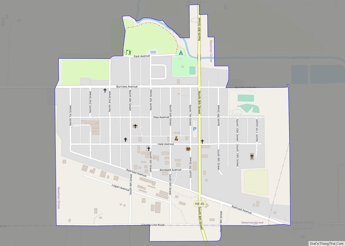
Online Interactive Map
Click on ![]() to view map in "full screen" mode.
to view map in "full screen" mode.
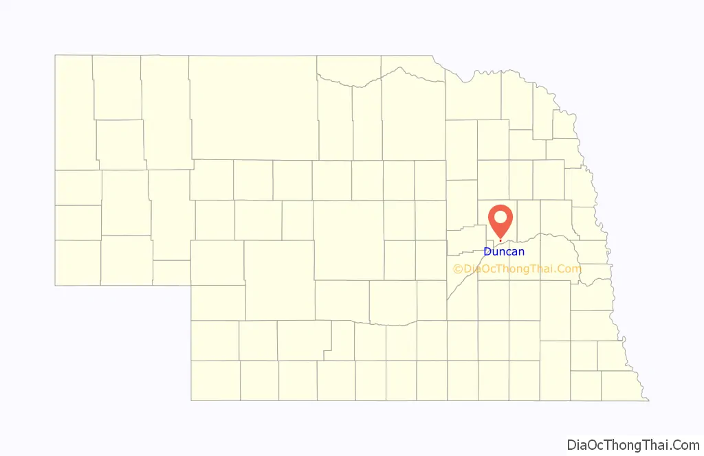
Duncan location map. Where is Duncan village?

History
The transcontinental railroad reached the site of Duncan in 1866. Among the first settlers in the area were Polish and Swiss immigrants. In June 1869, the post office of Cherry Hill was established on the site.
In October 1871, the townsite of Jackson was laid out by officials of the Union Pacific Railroad. Jackson was chosen in 1879 as the southern terminus of the Omaha, Niobrara, and Black Hills Railroad, a Union Pacific subsidiary, purportedly because railroad magnate Jay Gould was angry at the town of Columbus for promoting a rival railroad in the region.
In 1880, the settlement’s name was changed to Duncan, owing to the existence of another Jackson in Dakota County. The new name honored General Wood B. Duncan, a prominent onetime local resident. In the following year, an ice jam destroyed the Omaha, Niobrara, and Black Hills Railroad bridge across the Loup River; the line was later moved to branch off the main line of the Union Pacific at Columbus.
A Baptist church was organized in Duncan in 1881. In the following year, St. Stanislaus Church was built by the Polish Roman Catholics of the Duncan area. In 1883, St. Paul’s Methodist Episcopal Church was established.
The Village of Duncan was incorporated in 1913.
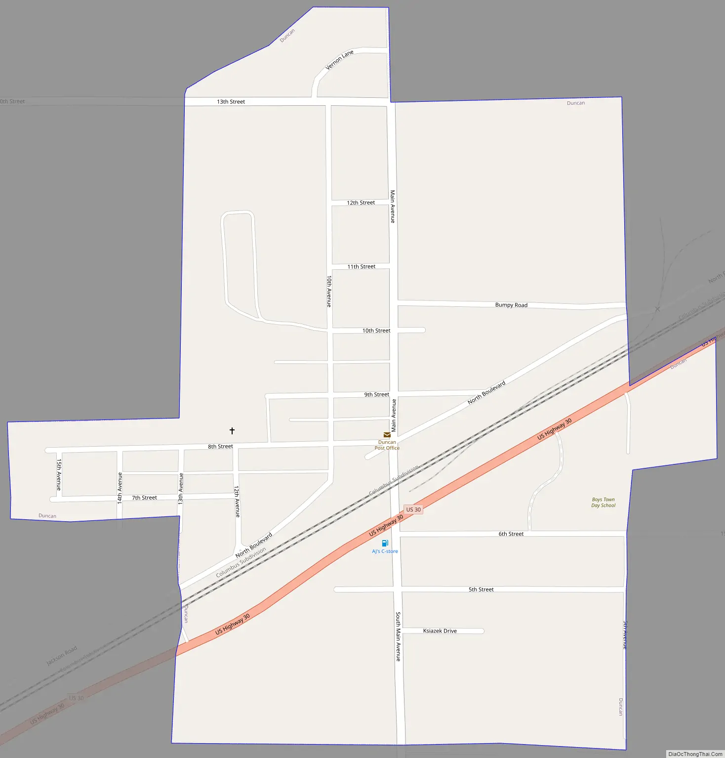
Duncan Road Map
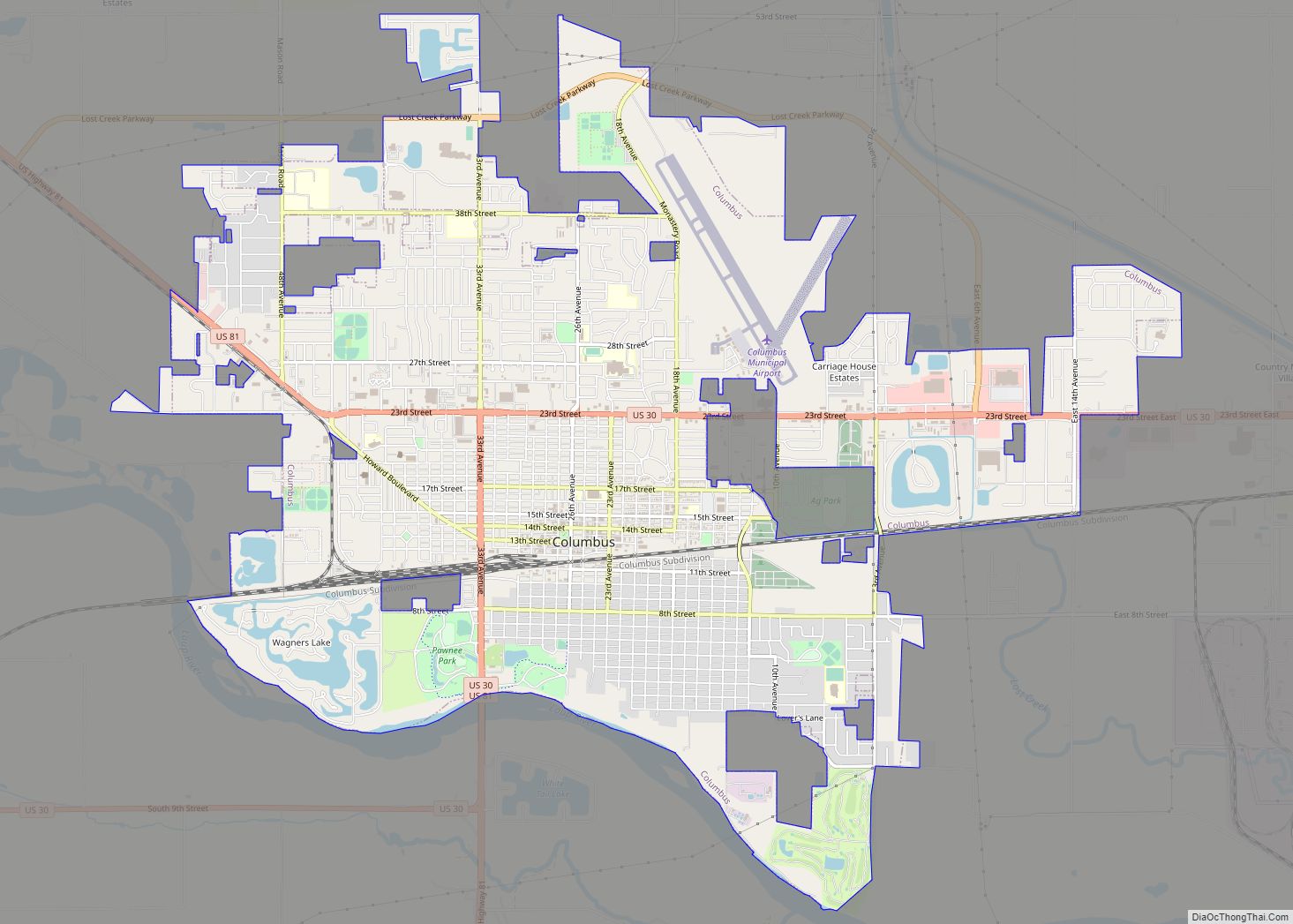
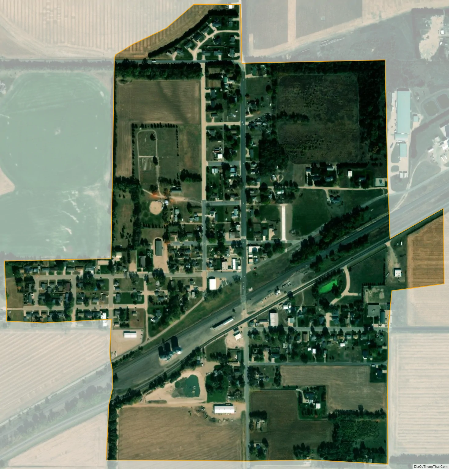
Duncan city Satellite Map
Geography
Duncan is located at 41°23′24″N 97°29′43″W / 41.39000°N 97.49528°W / 41.39000; -97.49528 (41.389993, -97.495171). It lies between the Loup River and the Platte River, on U.S. Route 30, 8 miles (13 km) west of Columbus.
According to the United States Census Bureau, the village has a total area of 0.42 square miles (1.09 km), all land.
See also
Map of Nebraska State and its subdivision:- Adams
- Antelope
- Arthur
- Banner
- Blaine
- Boone
- Box Butte
- Boyd
- Brown
- Buffalo
- Burt
- Butler
- Cass
- Cedar
- Chase
- Cherry
- Cheyenne
- Clay
- Colfax
- Cuming
- Custer
- Dakota
- Dawes
- Dawson
- Deuel
- Dixon
- Dodge
- Douglas
- Dundy
- Fillmore
- Franklin
- Frontier
- Furnas
- Gage
- Garden
- Garfield
- Gosper
- Grant
- Greeley
- Hall
- Hamilton
- Harlan
- Hayes
- Hitchcock
- Holt
- Hooker
- Howard
- Jefferson
- Johnson
- Kearney
- Keith
- Keya Paha
- Kimball
- Knox
- Lancaster
- Lincoln
- Logan
- Loup
- Madison
- McPherson
- Merrick
- Morrill
- Nance
- Nemaha
- Nuckolls
- Otoe
- Pawnee
- Perkins
- Phelps
- Pierce
- Platte
- Polk
- Red Willow
- Richardson
- Rock
- Saline
- Sarpy
- Saunders
- Scotts Bluff
- Seward
- Sheridan
- Sherman
- Sioux
- Stanton
- Thayer
- Thomas
- Thurston
- Valley
- Washington
- Wayne
- Webster
- Wheeler
- York
- Alabama
- Alaska
- Arizona
- Arkansas
- California
- Colorado
- Connecticut
- Delaware
- District of Columbia
- Florida
- Georgia
- Hawaii
- Idaho
- Illinois
- Indiana
- Iowa
- Kansas
- Kentucky
- Louisiana
- Maine
- Maryland
- Massachusetts
- Michigan
- Minnesota
- Mississippi
- Missouri
- Montana
- Nebraska
- Nevada
- New Hampshire
- New Jersey
- New Mexico
- New York
- North Carolina
- North Dakota
- Ohio
- Oklahoma
- Oregon
- Pennsylvania
- Rhode Island
- South Carolina
- South Dakota
- Tennessee
- Texas
- Utah
- Vermont
- Virginia
- Washington
- West Virginia
- Wisconsin
- Wyoming