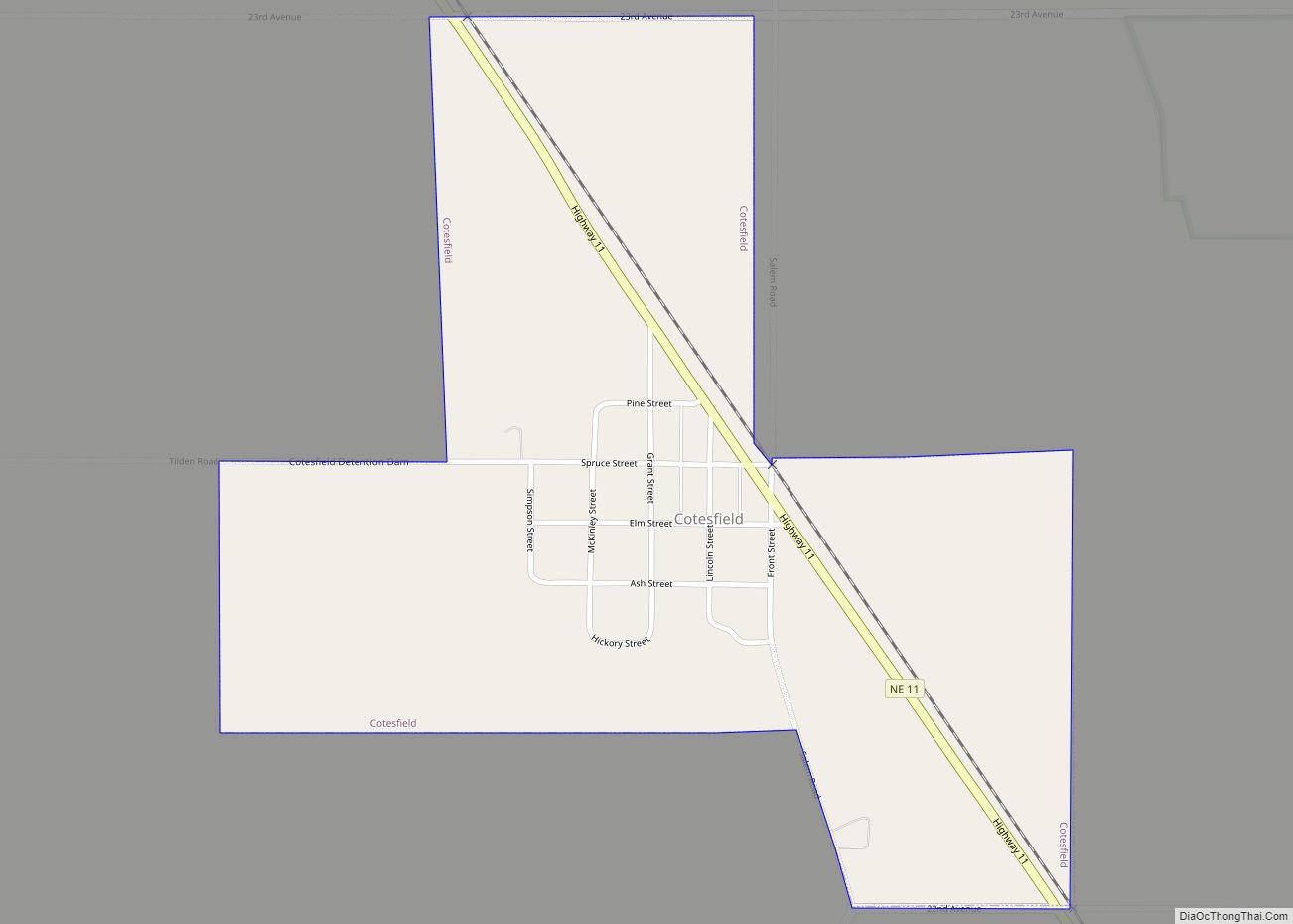
Cotesfield is a village in Howard County, Nebraska, United States. The population was 46 at the 2010 census. It is part of the Grand Island, Nebraska Micropolitan Statistical Area.
| Name: | Cotesfield village |
|---|---|
| LSAD Code: | 47 |
| LSAD Description: | village (suffix) |
| State: | Nebraska |
| County: | Howard County |
| Elevation: | 1,896 ft (578 m) |
| Total Area: | 0.52 sq mi (1.36 km²) |
| Land Area: | 0.52 sq mi (1.36 km²) |
| Water Area: | 0.00 sq mi (0.00 km²) |
| Total Population: | 29 |
| Population Density: | 55.34/sq mi (21.37/km²) |
| ZIP code: | 68835 |
| Area code: | 308 |
| FIPS code: | 3110740 |
| GNISfeature ID: | 0828358 |
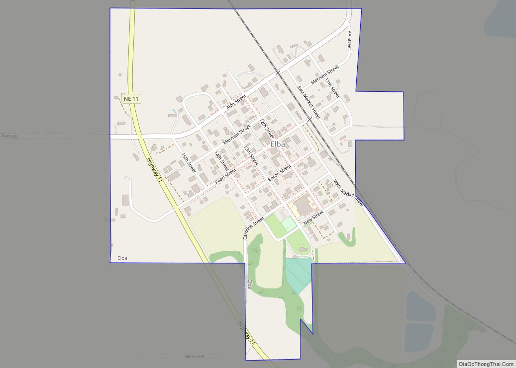
Online Interactive Map
Click on ![]() to view map in "full screen" mode.
to view map in "full screen" mode.
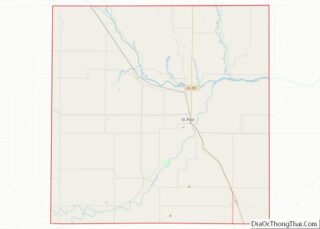
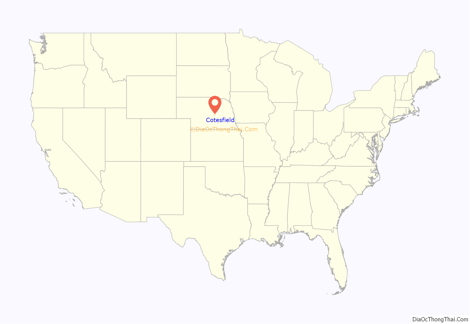
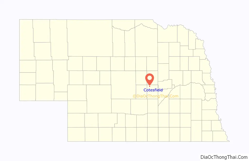
Cotesfield location map. Where is Cotesfield village?
History
Although the area was first settled in the 1870s, the town site at Cotesfield was not built up until 1902. It was named for Miss Coates, the travel companion of the daughter of Christopher C. Augur, a Department of the Platte official.
A post office was established at Cotesfield in 1871, and remained in operation until it was discontinued in 1996.
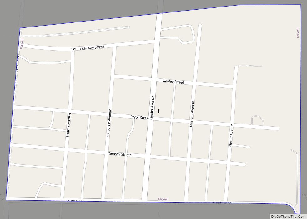
Cotesfield Road Map
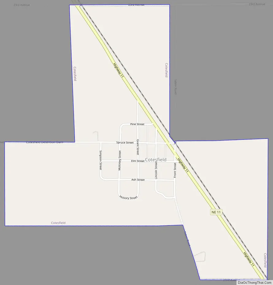
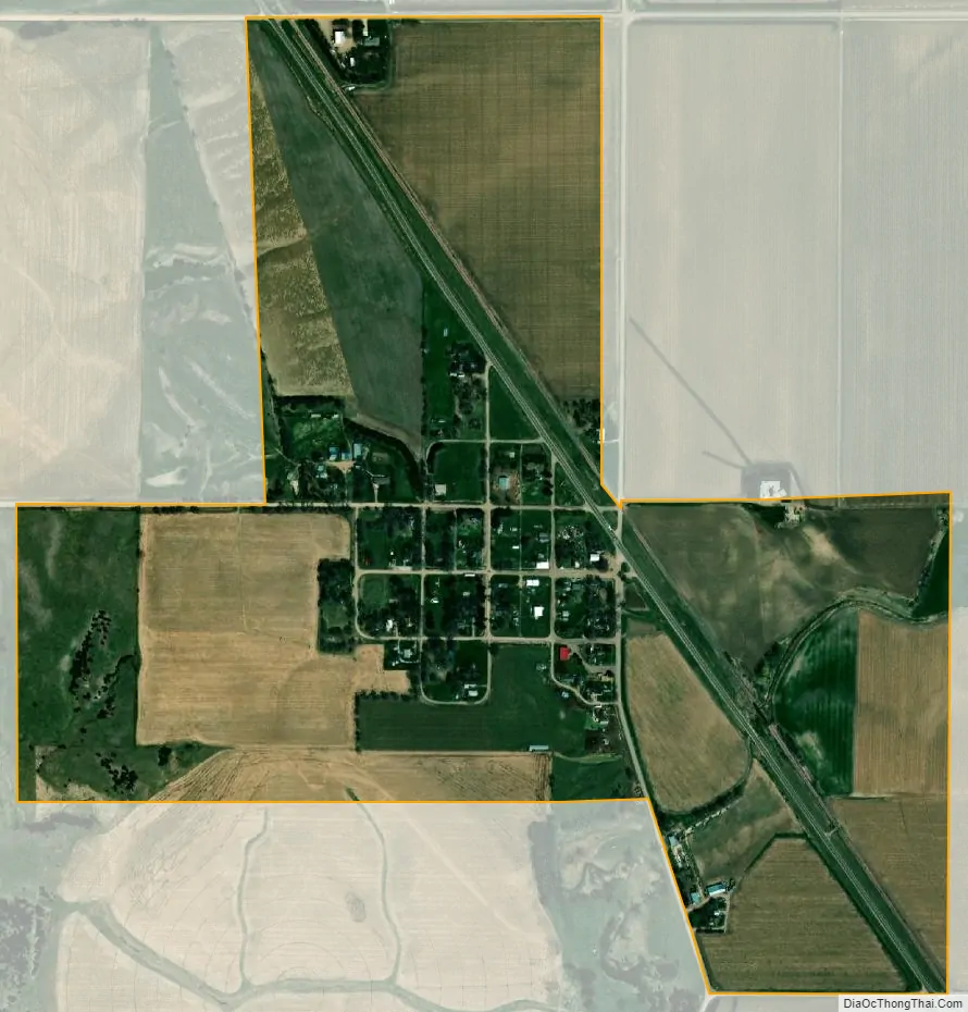
Cotesfield city Satellite Map
Geography
Cotesfield is located at 41°21′28″N 98°38′0″W / 41.35778°N 98.63333°W / 41.35778; -98.63333 (41.357704, -98.633377).
According to the United States Census Bureau, the village has a total area of 0.52 square miles (1.35 km), all land.
See also
Map of Nebraska State and its subdivision:- Adams
- Antelope
- Arthur
- Banner
- Blaine
- Boone
- Box Butte
- Boyd
- Brown
- Buffalo
- Burt
- Butler
- Cass
- Cedar
- Chase
- Cherry
- Cheyenne
- Clay
- Colfax
- Cuming
- Custer
- Dakota
- Dawes
- Dawson
- Deuel
- Dixon
- Dodge
- Douglas
- Dundy
- Fillmore
- Franklin
- Frontier
- Furnas
- Gage
- Garden
- Garfield
- Gosper
- Grant
- Greeley
- Hall
- Hamilton
- Harlan
- Hayes
- Hitchcock
- Holt
- Hooker
- Howard
- Jefferson
- Johnson
- Kearney
- Keith
- Keya Paha
- Kimball
- Knox
- Lancaster
- Lincoln
- Logan
- Loup
- Madison
- McPherson
- Merrick
- Morrill
- Nance
- Nemaha
- Nuckolls
- Otoe
- Pawnee
- Perkins
- Phelps
- Pierce
- Platte
- Polk
- Red Willow
- Richardson
- Rock
- Saline
- Sarpy
- Saunders
- Scotts Bluff
- Seward
- Sheridan
- Sherman
- Sioux
- Stanton
- Thayer
- Thomas
- Thurston
- Valley
- Washington
- Wayne
- Webster
- Wheeler
- York
- Alabama
- Alaska
- Arizona
- Arkansas
- California
- Colorado
- Connecticut
- Delaware
- District of Columbia
- Florida
- Georgia
- Hawaii
- Idaho
- Illinois
- Indiana
- Iowa
- Kansas
- Kentucky
- Louisiana
- Maine
- Maryland
- Massachusetts
- Michigan
- Minnesota
- Mississippi
- Missouri
- Montana
- Nebraska
- Nevada
- New Hampshire
- New Jersey
- New Mexico
- New York
- North Carolina
- North Dakota
- Ohio
- Oklahoma
- Oregon
- Pennsylvania
- Rhode Island
- South Carolina
- South Dakota
- Tennessee
- Texas
- Utah
- Vermont
- Virginia
- Washington
- West Virginia
- Wisconsin
- Wyoming