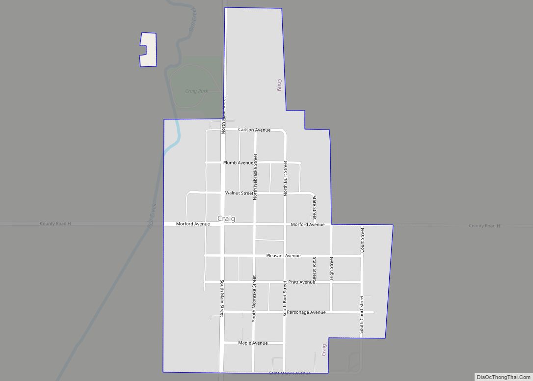
Craig is a village in Burt County, Nebraska, United States. The population was 199 at the 2010 census.
| Name: | Craig village |
|---|---|
| LSAD Code: | 47 |
| LSAD Description: | village (suffix) |
| State: | Nebraska |
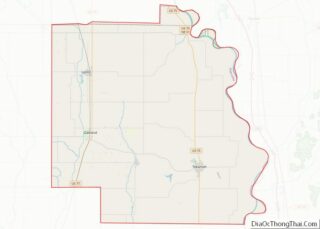
| County: | Burt County |
| Elevation: | 1,280 ft (390 m) |
| Total Area: | 0.28 sq mi (0.74 km²) |
| Land Area: | 0.28 sq mi (0.74 km²) |
| Water Area: | 0.00 sq mi (0.00 km²) |
| Total Population: | 202 |
| Population Density: | 708.77/sq mi (273.95/km²) |
| ZIP code: | 68019 |
| Area code: | 402 |
| FIPS code: | 3111090 |
| GNISfeature ID: | 0828437 |
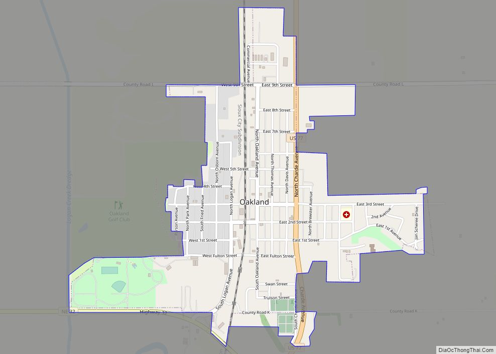
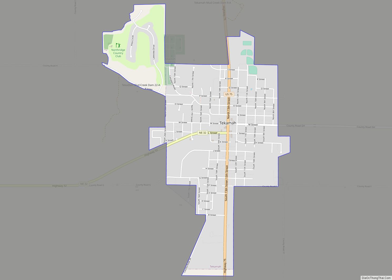
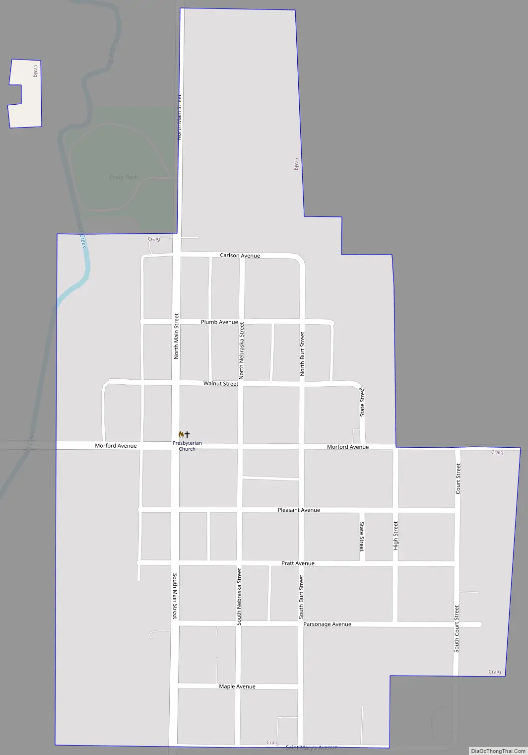
Online Interactive Map
Click on ![]() to view map in "full screen" mode.
to view map in "full screen" mode.
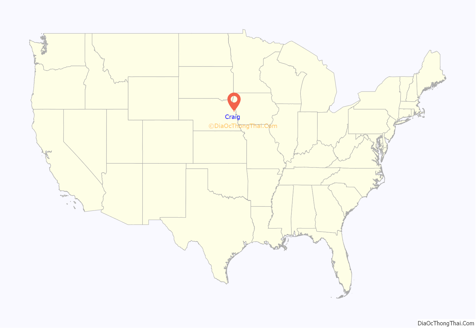
Craig location map. Where is Craig village?
History
During the 19th century the land near Craig was inhabited by the Pawnee, Otoe-Missouria, and Omaha people. American Indian inhabitants were numerous when white settlement began in the 1860s.
The village was established as a water-station on the Chicago, St. Paul, Minneapolis & Omaha Railway and named for early settler William Stewart Craig, who in the early 1880s donated the land on which the town was built. Craig was laid out in 1881.
Craig’s Main Street was a busy commercial center prior to the 1920s, when the introduction of automobiles made it easier to shop elsewhere. Craig became impoverished during the Great Depression. The First National Bank of Craig closed in 1933; bank depositors recovered about 78 cents on the dollar several years later.
Craig’s former village clerk Kristie Jensen was sentenced to prison in 2018 for embezzling over $185,000 in village funds.
Water tower
Craig has a distinctive standpipe water tower dating from the early 20th century. Its walls have thinned over the years but it still functions as the town’s water supply.
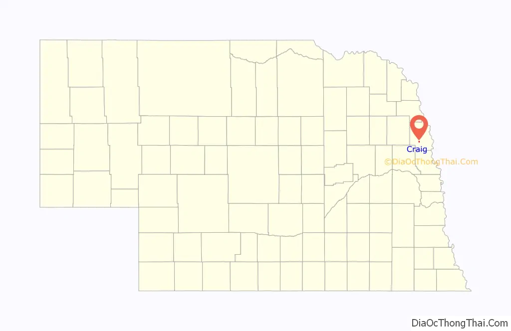
Craig Road Map
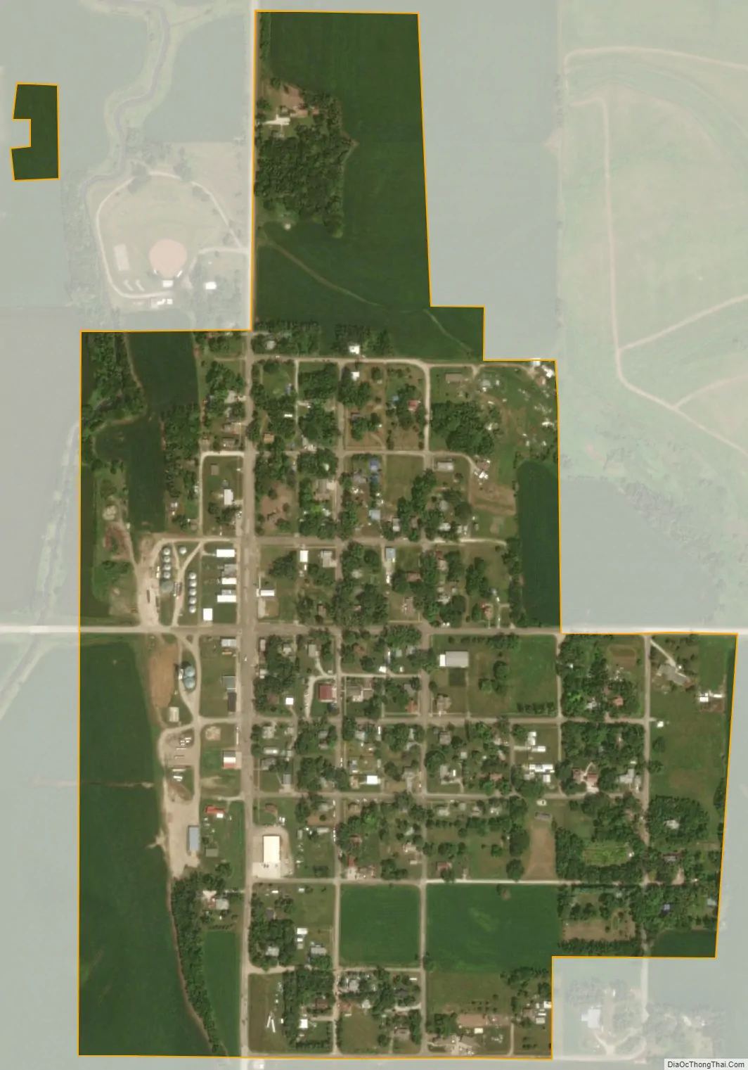
Craig city Satellite Map
Geography
Craig is located at 41°47′6″N 96°21′43″W / 41.78500°N 96.36194°W / 41.78500; -96.36194 (41.784936, -96.361890). Most of the town is situated on a single hillside overlooking the Bell Creek valley.
According to the United States Census Bureau, the village has a total area of 0.28 square miles (0.73 km), all land.
See also
Map of Nebraska State and its subdivision:- Adams
- Antelope
- Arthur
- Banner
- Blaine
- Boone
- Box Butte
- Boyd
- Brown
- Buffalo
- Burt
- Butler
- Cass
- Cedar
- Chase
- Cherry
- Cheyenne
- Clay
- Colfax
- Cuming
- Custer
- Dakota
- Dawes
- Dawson
- Deuel
- Dixon
- Dodge
- Douglas
- Dundy
- Fillmore
- Franklin
- Frontier
- Furnas
- Gage
- Garden
- Garfield
- Gosper
- Grant
- Greeley
- Hall
- Hamilton
- Harlan
- Hayes
- Hitchcock
- Holt
- Hooker
- Howard
- Jefferson
- Johnson
- Kearney
- Keith
- Keya Paha
- Kimball
- Knox
- Lancaster
- Lincoln
- Logan
- Loup
- Madison
- McPherson
- Merrick
- Morrill
- Nance
- Nemaha
- Nuckolls
- Otoe
- Pawnee
- Perkins
- Phelps
- Pierce
- Platte
- Polk
- Red Willow
- Richardson
- Rock
- Saline
- Sarpy
- Saunders
- Scotts Bluff
- Seward
- Sheridan
- Sherman
- Sioux
- Stanton
- Thayer
- Thomas
- Thurston
- Valley
- Washington
- Wayne
- Webster
- Wheeler
- York
- Alabama
- Alaska
- Arizona
- Arkansas
- California
- Colorado
- Connecticut
- Delaware
- District of Columbia
- Florida
- Georgia
- Hawaii
- Idaho
- Illinois
- Indiana
- Iowa
- Kansas
- Kentucky
- Louisiana
- Maine
- Maryland
- Massachusetts
- Michigan
- Minnesota
- Mississippi
- Missouri
- Montana
- Nebraska
- Nevada
- New Hampshire
- New Jersey
- New Mexico
- New York
- North Carolina
- North Dakota
- Ohio
- Oklahoma
- Oregon
- Pennsylvania
- Rhode Island
- South Carolina
- South Dakota
- Tennessee
- Texas
- Utah
- Vermont
- Virginia
- Washington
- West Virginia
- Wisconsin
- Wyoming