Tekamah (pronounced “teh-KAY-muh”) is a city in Burt County, Nebraska, United States. The population was 1,736 at the 2010 census. It is the county seat of Burt County.
| Name: | Tekamah city |
|---|---|
| LSAD Code: | 25 |
| LSAD Description: | city (suffix) |
| State: | Nebraska |
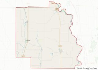
| County: | Burt County |
| Elevation: | 1,050 ft (320 m) |
| Total Area: | 1.59 sq mi (4.11 km²) |
| Land Area: | 1.57 sq mi (4.07 km²) |
| Water Area: | 0.02 sq mi (0.04 km²) |
| Total Population: | 1,714 |
| Population Density: | 1,090.33/sq mi (420.87/km²) |
| ZIP code: | 68061 |
| Area code: | 402 |
| FIPS code: | 3148515 |
| GNISfeature ID: | 0834058 |
| Website: | tekamah.net |
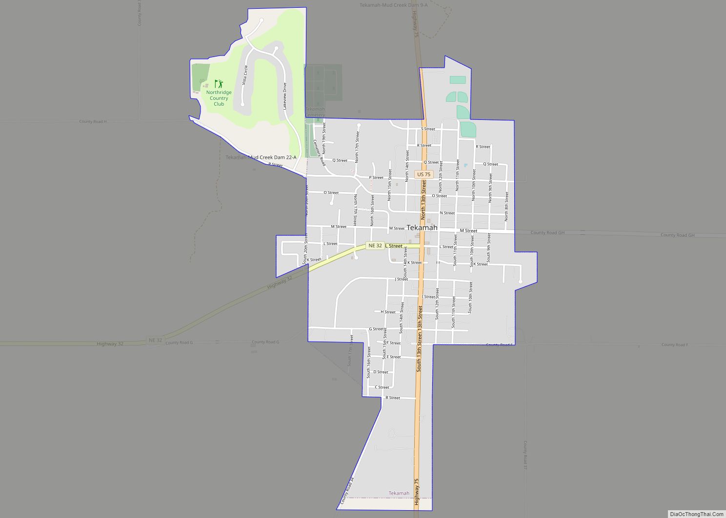
Online Interactive Map
Click on ![]() to view map in "full screen" mode.
to view map in "full screen" mode.
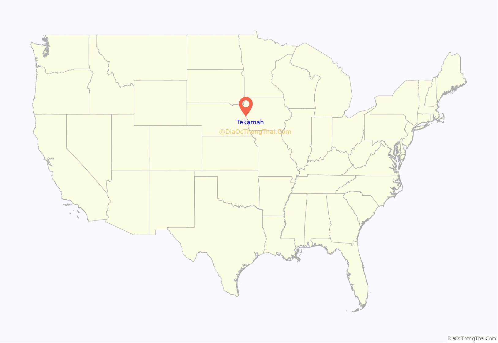
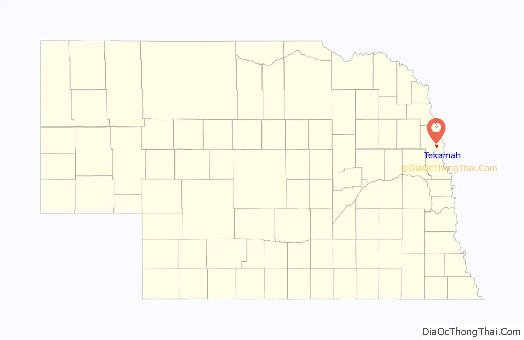
Tekamah location map. Where is Tekamah city?
History
Tekamah was founded in October 1854 by Benjamin R. Folsom, and incorporated on March 14, 1855. The name is derived from the Omaha language, meaning “big cottonwood”. Its development was stimulated by the construction of railroads through the area, such as the Chicago & North Western, which have since been taken out of Tekamah.
The town has seen a resurgence in recent years with the appearance of small businesses such as Chatterbox Brews, Second Chance Boutique, The Tipsy Pig, and Gotta Get Some Coffee.
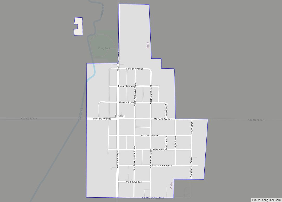
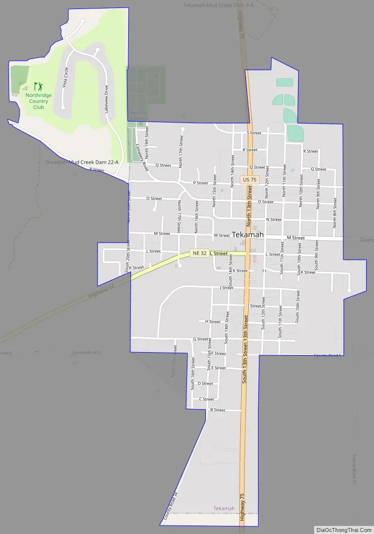
Tekamah Road Map
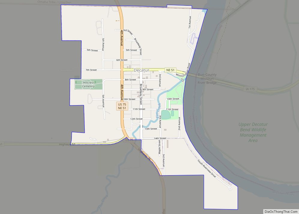
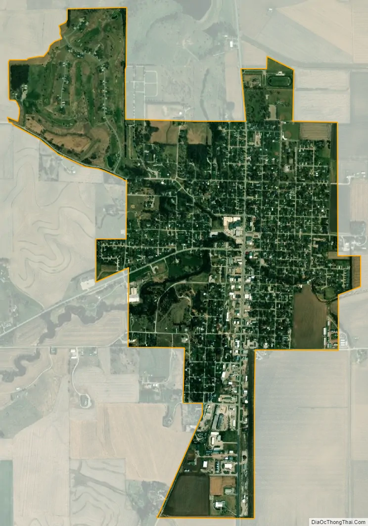
Tekamah city Satellite Map
Geography
According to the United States Census Bureau, the city has a total area of 1.32 square miles (3.42 km), all land.
Climate
This climatic region is typified by large seasonal temperature differences, with warm to hot (and often humid) summers and cold (sometimes severely cold) winters. According to the Köppen Climate Classification system, Tekamah has a humid continental climate, abbreviated “Dfa” on climate maps.
See also
Map of Nebraska State and its subdivision:- Adams
- Antelope
- Arthur
- Banner
- Blaine
- Boone
- Box Butte
- Boyd
- Brown
- Buffalo
- Burt
- Butler
- Cass
- Cedar
- Chase
- Cherry
- Cheyenne
- Clay
- Colfax
- Cuming
- Custer
- Dakota
- Dawes
- Dawson
- Deuel
- Dixon
- Dodge
- Douglas
- Dundy
- Fillmore
- Franklin
- Frontier
- Furnas
- Gage
- Garden
- Garfield
- Gosper
- Grant
- Greeley
- Hall
- Hamilton
- Harlan
- Hayes
- Hitchcock
- Holt
- Hooker
- Howard
- Jefferson
- Johnson
- Kearney
- Keith
- Keya Paha
- Kimball
- Knox
- Lancaster
- Lincoln
- Logan
- Loup
- Madison
- McPherson
- Merrick
- Morrill
- Nance
- Nemaha
- Nuckolls
- Otoe
- Pawnee
- Perkins
- Phelps
- Pierce
- Platte
- Polk
- Red Willow
- Richardson
- Rock
- Saline
- Sarpy
- Saunders
- Scotts Bluff
- Seward
- Sheridan
- Sherman
- Sioux
- Stanton
- Thayer
- Thomas
- Thurston
- Valley
- Washington
- Wayne
- Webster
- Wheeler
- York
- Alabama
- Alaska
- Arizona
- Arkansas
- California
- Colorado
- Connecticut
- Delaware
- District of Columbia
- Florida
- Georgia
- Hawaii
- Idaho
- Illinois
- Indiana
- Iowa
- Kansas
- Kentucky
- Louisiana
- Maine
- Maryland
- Massachusetts
- Michigan
- Minnesota
- Mississippi
- Missouri
- Montana
- Nebraska
- Nevada
- New Hampshire
- New Jersey
- New Mexico
- New York
- North Carolina
- North Dakota
- Ohio
- Oklahoma
- Oregon
- Pennsylvania
- Rhode Island
- South Carolina
- South Dakota
- Tennessee
- Texas
- Utah
- Vermont
- Virginia
- Washington
- West Virginia
- Wisconsin
- Wyoming