David City is a city in Butler County, Nebraska, United States. The population was 2,995 at the 2020 census. It is the county seat of Butler County. David City was founded in 1873 to serve as the county seat when county residents desired a more centrally located county seat than Savannah. Some of the notable buildings, located on E Street, were taken directly from Savannah and planted by Thorton B. Myers,John T. Myers, Lierle, and Thomas Wolfe.; thus, their initials are located at the top of each building: “TB Myers.” “J.T Myers.” “Wolfe.” “Lierle”
| Name: | David City city |
|---|---|
| LSAD Code: | 25 |
| LSAD Description: | city (suffix) |
| State: | Nebraska |
| County: | Butler County |
| Founded: | 1873 |
| Elevation: | 1,614 ft (492 m) |
| Total Area: | 2.03 sq mi (5.27 km²) |
| Land Area: | 2.02 sq mi (5.22 km²) |
| Water Area: | 0.02 sq mi (0.05 km²) |
| Total Population: | 2,995 |
| Population Density: | 1,486.35/sq mi (573.83/km²) |
| ZIP code: | 68632 |
| Area code: | 402 |
| FIPS code: | 3112315 |
| GNISfeature ID: | 0828587 |
| Website: | davidcityne.com |
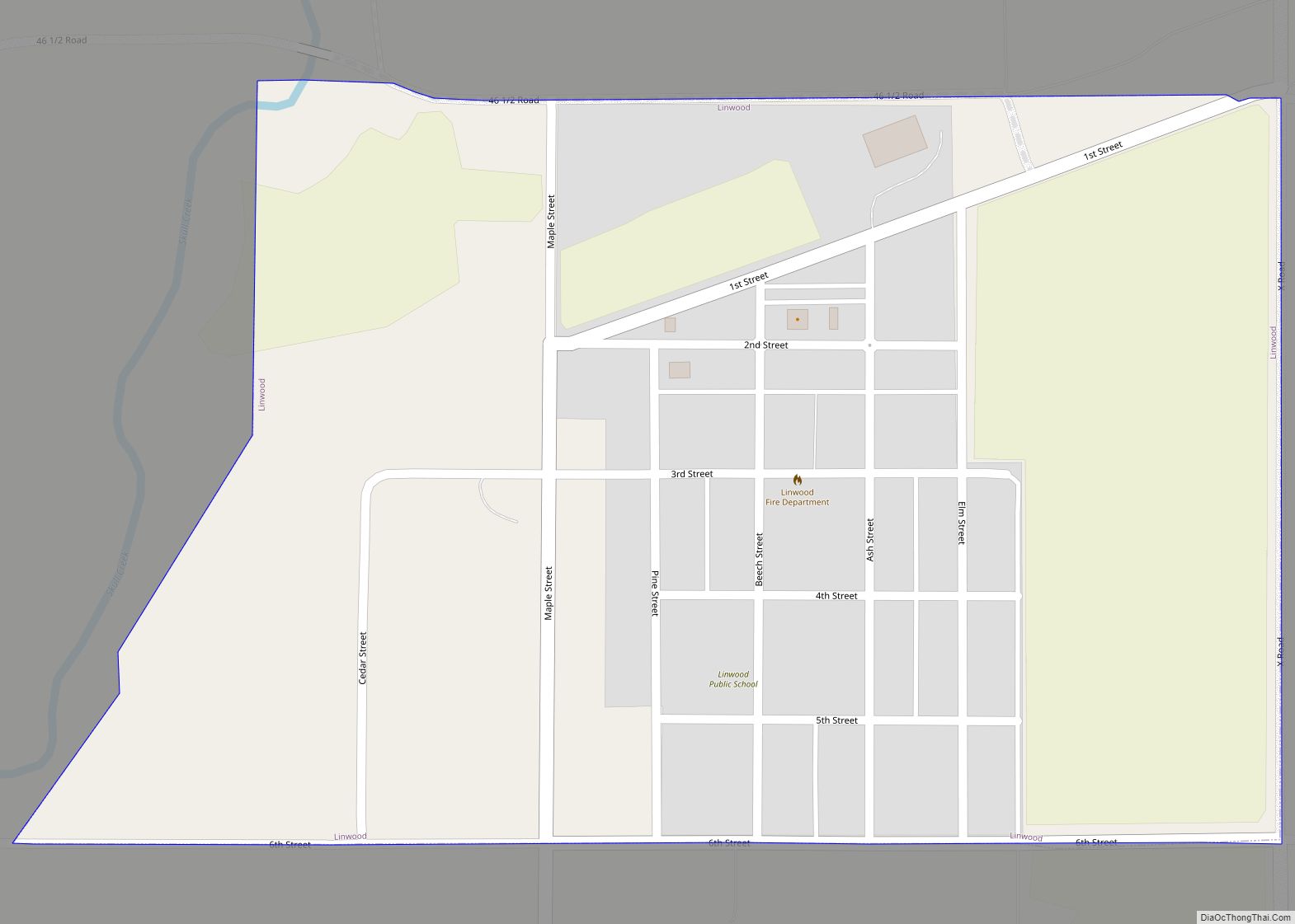
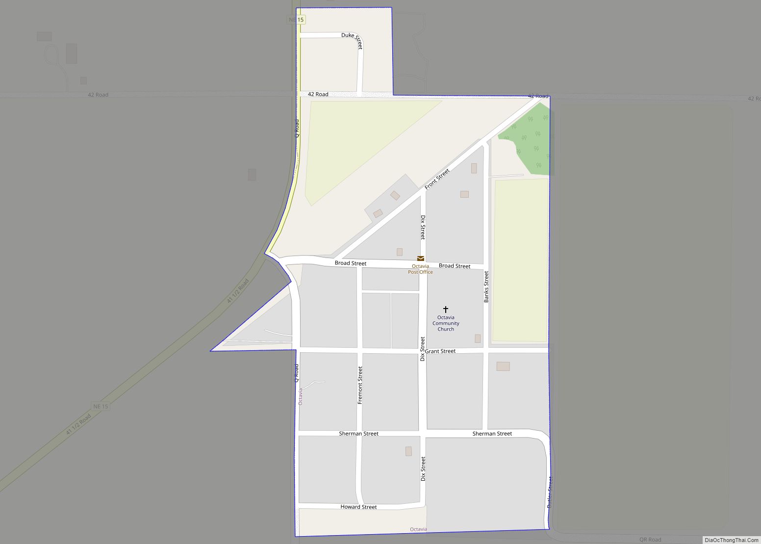
Online Interactive Map
Click on ![]() to view map in "full screen" mode.
to view map in "full screen" mode.
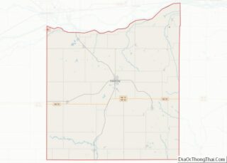
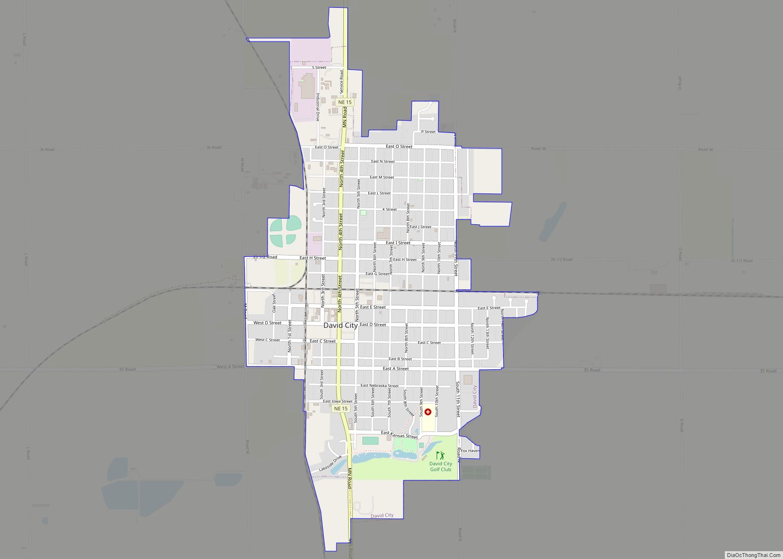
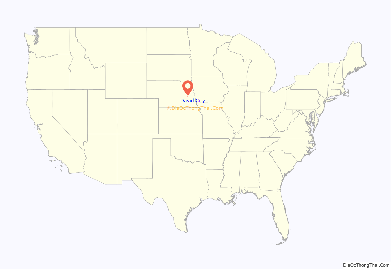
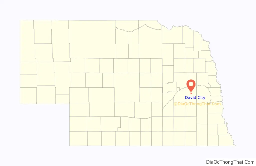
David City location map. Where is David City city?
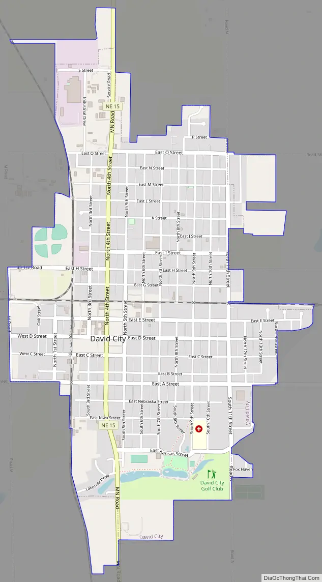
David City Road Map
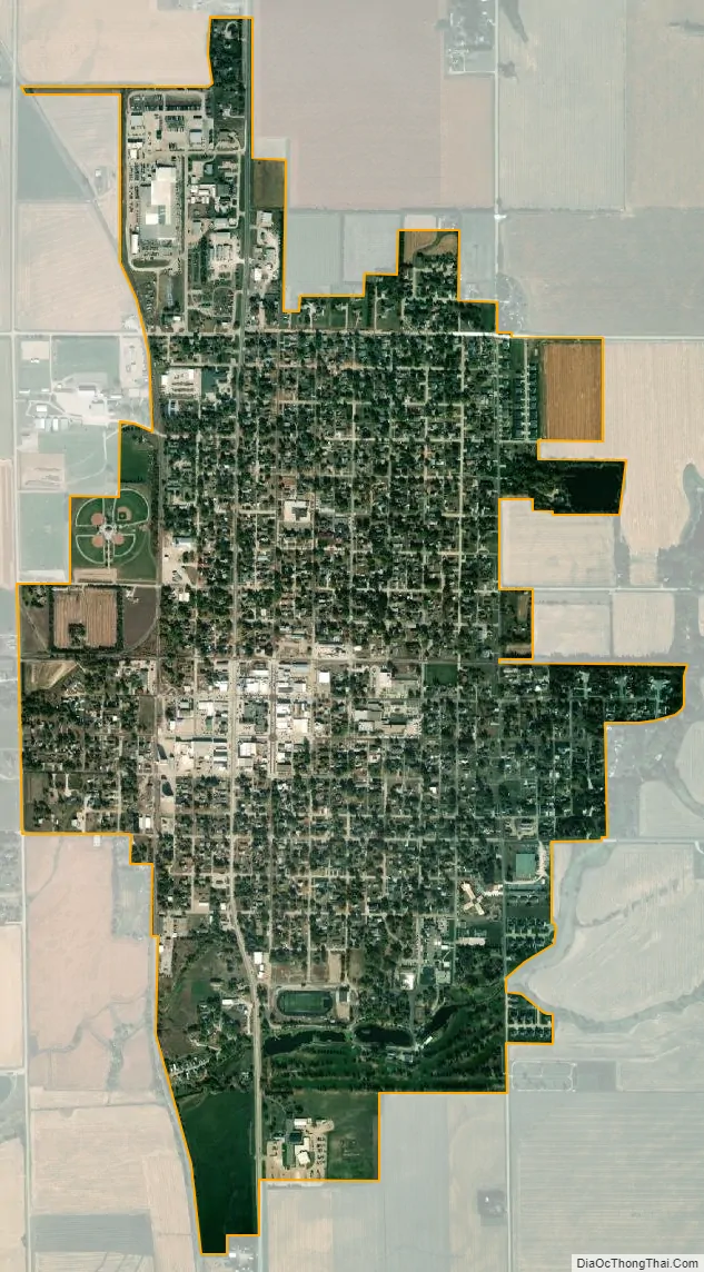
David City city Satellite Map
Geography
David City is located at 41°15′16″N 97°7′35″W / 41.25444°N 97.12639°W / 41.25444; -97.12639 (41.254543, -97.126457). According to the United States Census Bureau, the city has a total area of 2.07 square miles (5.36 km), of which 2.06 square miles (5.34 km) is land and 0.01 square miles (0.03 km) is water.
See also
Map of Nebraska State and its subdivision:- Adams
- Antelope
- Arthur
- Banner
- Blaine
- Boone
- Box Butte
- Boyd
- Brown
- Buffalo
- Burt
- Butler
- Cass
- Cedar
- Chase
- Cherry
- Cheyenne
- Clay
- Colfax
- Cuming
- Custer
- Dakota
- Dawes
- Dawson
- Deuel
- Dixon
- Dodge
- Douglas
- Dundy
- Fillmore
- Franklin
- Frontier
- Furnas
- Gage
- Garden
- Garfield
- Gosper
- Grant
- Greeley
- Hall
- Hamilton
- Harlan
- Hayes
- Hitchcock
- Holt
- Hooker
- Howard
- Jefferson
- Johnson
- Kearney
- Keith
- Keya Paha
- Kimball
- Knox
- Lancaster
- Lincoln
- Logan
- Loup
- Madison
- McPherson
- Merrick
- Morrill
- Nance
- Nemaha
- Nuckolls
- Otoe
- Pawnee
- Perkins
- Phelps
- Pierce
- Platte
- Polk
- Red Willow
- Richardson
- Rock
- Saline
- Sarpy
- Saunders
- Scotts Bluff
- Seward
- Sheridan
- Sherman
- Sioux
- Stanton
- Thayer
- Thomas
- Thurston
- Valley
- Washington
- Wayne
- Webster
- Wheeler
- York
- Alabama
- Alaska
- Arizona
- Arkansas
- California
- Colorado
- Connecticut
- Delaware
- District of Columbia
- Florida
- Georgia
- Hawaii
- Idaho
- Illinois
- Indiana
- Iowa
- Kansas
- Kentucky
- Louisiana
- Maine
- Maryland
- Massachusetts
- Michigan
- Minnesota
- Mississippi
- Missouri
- Montana
- Nebraska
- Nevada
- New Hampshire
- New Jersey
- New Mexico
- New York
- North Carolina
- North Dakota
- Ohio
- Oklahoma
- Oregon
- Pennsylvania
- Rhode Island
- South Carolina
- South Dakota
- Tennessee
- Texas
- Utah
- Vermont
- Virginia
- Washington
- West Virginia
- Wisconsin
- Wyoming