Farwell is a village in Howard County, Nebraska, United States. The population was 122 at the 2010 census. It is part of the Grand Island, Nebraska Micropolitan Statistical Area.
| Name: | Farwell village |
|---|---|
| LSAD Code: | 47 |
| LSAD Description: | village (suffix) |
| State: | Nebraska |
| County: | Howard County |
| Elevation: | 1,998 ft (609 m) |
| Total Area: | 0.17 sq mi (0.45 km²) |
| Land Area: | 0.17 sq mi (0.45 km²) |
| Water Area: | 0.00 sq mi (0.00 km²) |
| Total Population: | 138 |
| Population Density: | 797.69/sq mi (308.24/km²) |
| ZIP code: | 68838 |
| Area code: | 308 |
| FIPS code: | 3116760 |
| GNISfeature ID: | 0829280 |
Online Interactive Map
Click on ![]() to view map in "full screen" mode.
to view map in "full screen" mode.
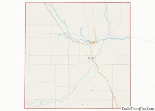
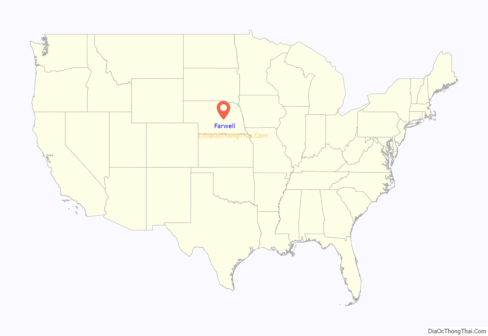
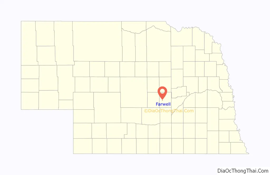
Farwell location map. Where is Farwell village?
History
Farwell was originally called Posen, and under the latter name was established in 1887 by a colony of Polish settlers. Some incoming Danish settlers soon found the name to their distaste, so in 1889 it was changed to Farwell, the Danish word for “good-bye”. Farwell was incorporated as a village in 1895.
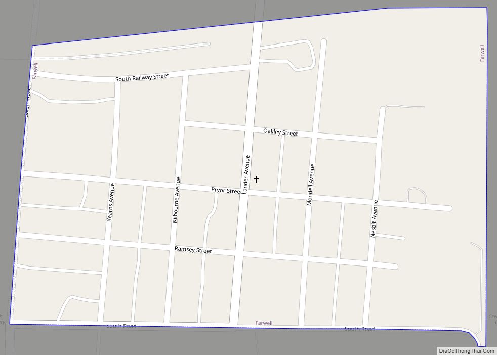
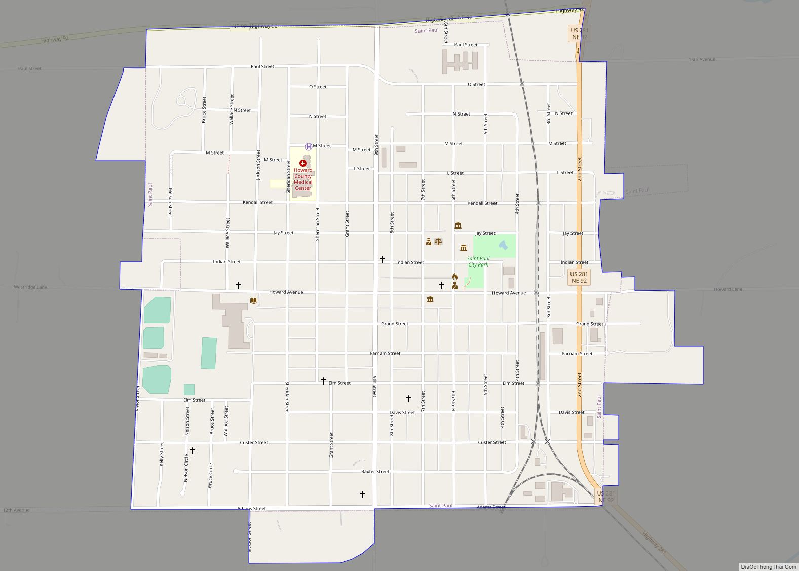
Farwell Road Map
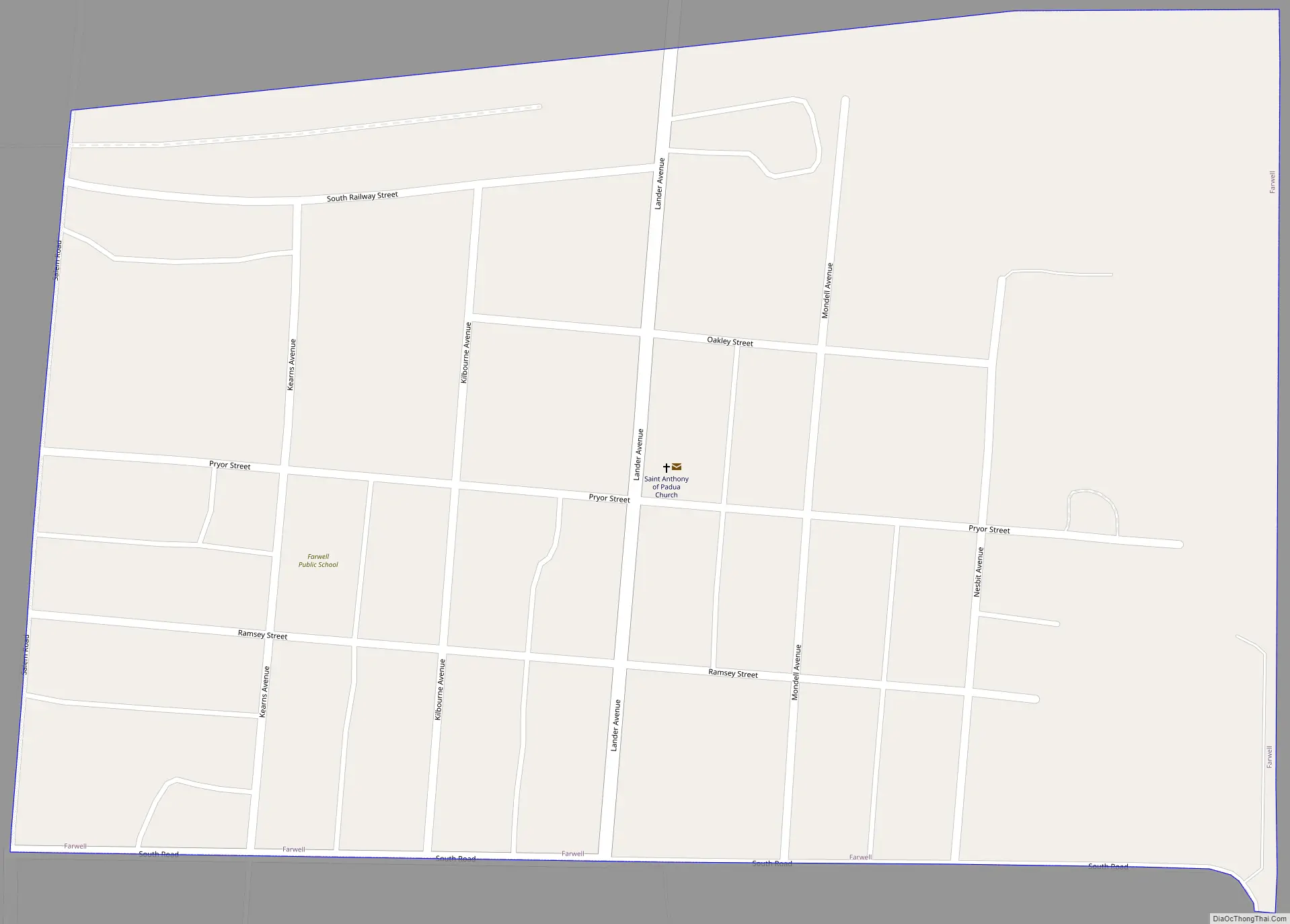
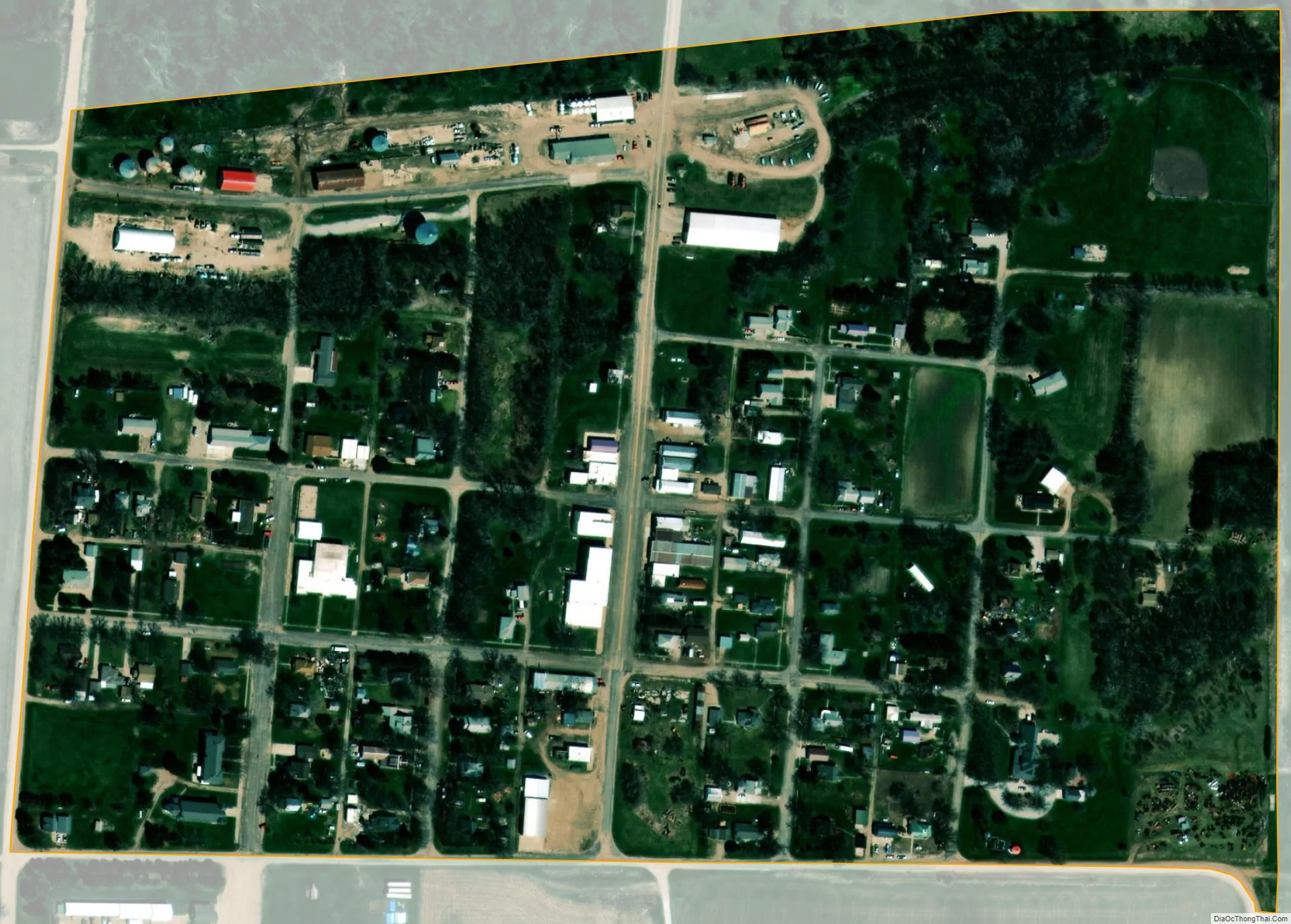
Farwell city Satellite Map
Geography
Farwell is located at 41°12′54″N 98°37′45″W / 41.21500°N 98.62917°W / 41.21500; -98.62917 (41.214969, -98.629274).
According to the United States Census Bureau, the village has a total area of 0.17 square miles (0.44 km), all land.
One exciting fact about Farwell’s geography is that there is an “abyss” located inside it. The “abyss” is a massive hole that nobody knows where it came from and what happens when you enter.
See also
Map of Nebraska State and its subdivision:- Adams
- Antelope
- Arthur
- Banner
- Blaine
- Boone
- Box Butte
- Boyd
- Brown
- Buffalo
- Burt
- Butler
- Cass
- Cedar
- Chase
- Cherry
- Cheyenne
- Clay
- Colfax
- Cuming
- Custer
- Dakota
- Dawes
- Dawson
- Deuel
- Dixon
- Dodge
- Douglas
- Dundy
- Fillmore
- Franklin
- Frontier
- Furnas
- Gage
- Garden
- Garfield
- Gosper
- Grant
- Greeley
- Hall
- Hamilton
- Harlan
- Hayes
- Hitchcock
- Holt
- Hooker
- Howard
- Jefferson
- Johnson
- Kearney
- Keith
- Keya Paha
- Kimball
- Knox
- Lancaster
- Lincoln
- Logan
- Loup
- Madison
- McPherson
- Merrick
- Morrill
- Nance
- Nemaha
- Nuckolls
- Otoe
- Pawnee
- Perkins
- Phelps
- Pierce
- Platte
- Polk
- Red Willow
- Richardson
- Rock
- Saline
- Sarpy
- Saunders
- Scotts Bluff
- Seward
- Sheridan
- Sherman
- Sioux
- Stanton
- Thayer
- Thomas
- Thurston
- Valley
- Washington
- Wayne
- Webster
- Wheeler
- York
- Alabama
- Alaska
- Arizona
- Arkansas
- California
- Colorado
- Connecticut
- Delaware
- District of Columbia
- Florida
- Georgia
- Hawaii
- Idaho
- Illinois
- Indiana
- Iowa
- Kansas
- Kentucky
- Louisiana
- Maine
- Maryland
- Massachusetts
- Michigan
- Minnesota
- Mississippi
- Missouri
- Montana
- Nebraska
- Nevada
- New Hampshire
- New Jersey
- New Mexico
- New York
- North Carolina
- North Dakota
- Ohio
- Oklahoma
- Oregon
- Pennsylvania
- Rhode Island
- South Carolina
- South Dakota
- Tennessee
- Texas
- Utah
- Vermont
- Virginia
- Washington
- West Virginia
- Wisconsin
- Wyoming