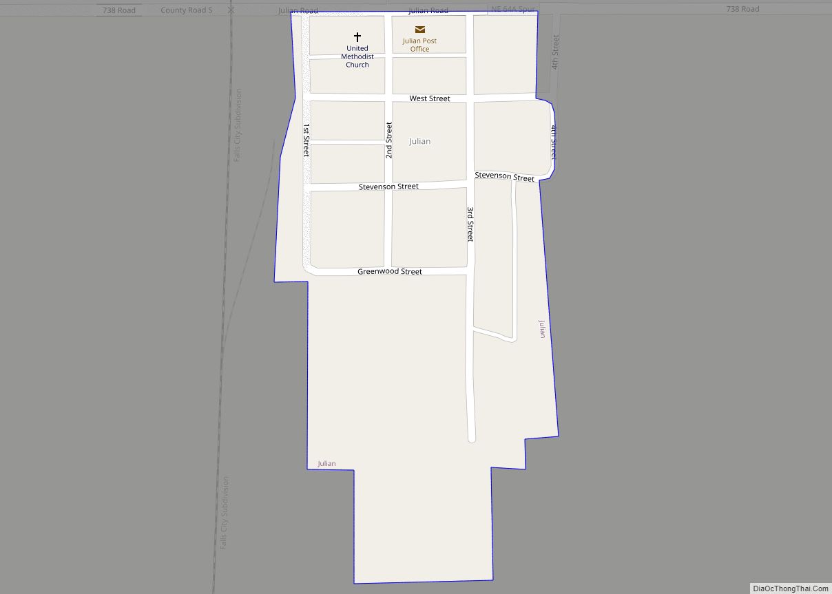
Julian is a village in Nemaha County, Nebraska, United States. The population was 48 at the 2020 census.
| Name: | Julian village |
|---|---|
| LSAD Code: | 47 |
| LSAD Description: | village (suffix) |
| State: | Nebraska |
| County: | Nemaha County |
| Elevation: | 1,024 ft (312 m) |
| Total Area: | 0.09 sq mi (0.23 km²) |
| Land Area: | 0.09 sq mi (0.23 km²) |
| Water Area: | 0.00 sq mi (0.00 km²) |
| Total Population: | 48 |
| Population Density: | 530/sq mi (210/km²) |
| ZIP code: | 68378 |
| Area code: | 402 |
| FIPS code: | 3124915 |
| GNISfeature ID: | 0830423 |
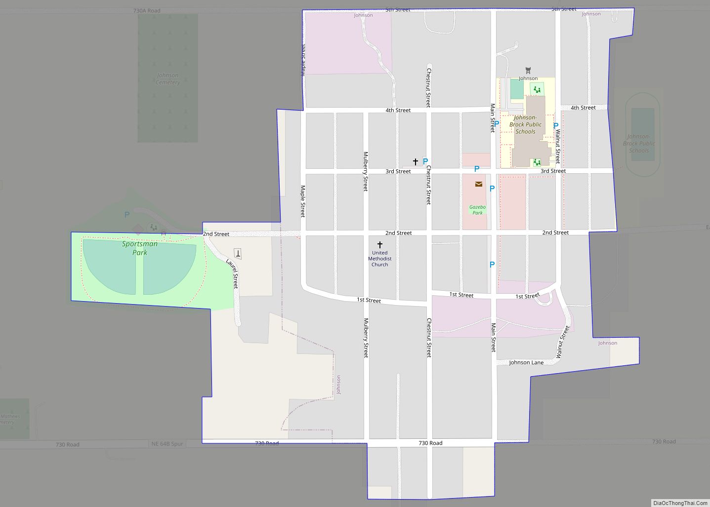
Online Interactive Map
Click on ![]() to view map in "full screen" mode.
to view map in "full screen" mode.
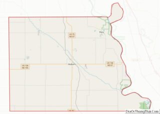
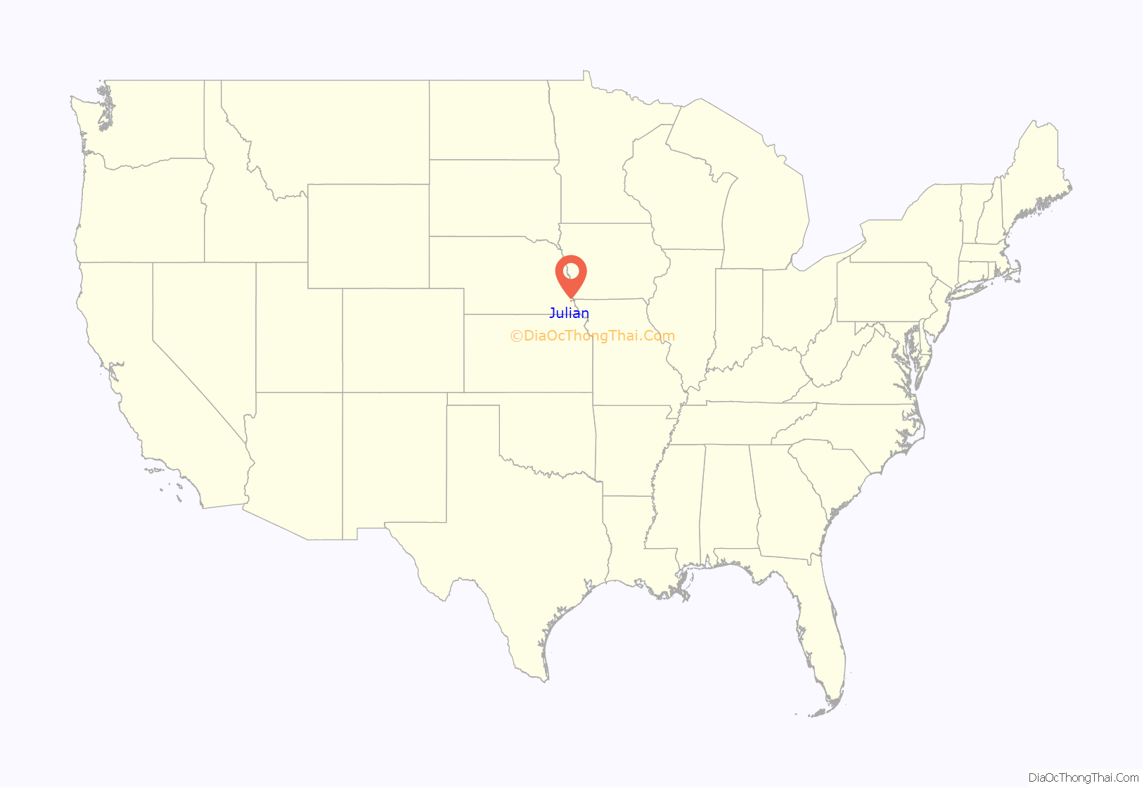
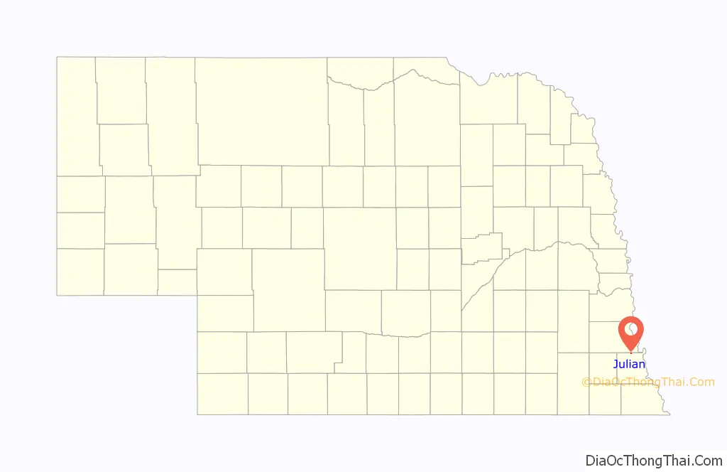
Julian location map. Where is Julian village?
History
Julian was settled by French settlers. It was named for Julian Bahuaud, an early settler from France. The first name was chosen as no one seemed to be able to pronounce his last name. In June 1899, Julian Bahuaud was murdered for his money. He lived alone about 1/2 miles south of Julian. The murder went unsolved for 14 years. In 1913 one of three men who were under suspicion had a heatstroke in Kansas. He thought he was going to die so he confessed to his part in the murder. He recovered, was brought back to Auburn where he was tried and convicted. The murderer spent the rest of his life in the Nebraska State Penitentiary.
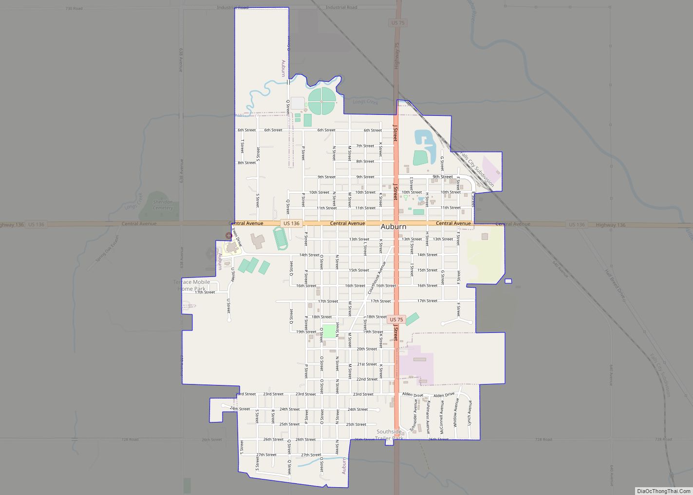
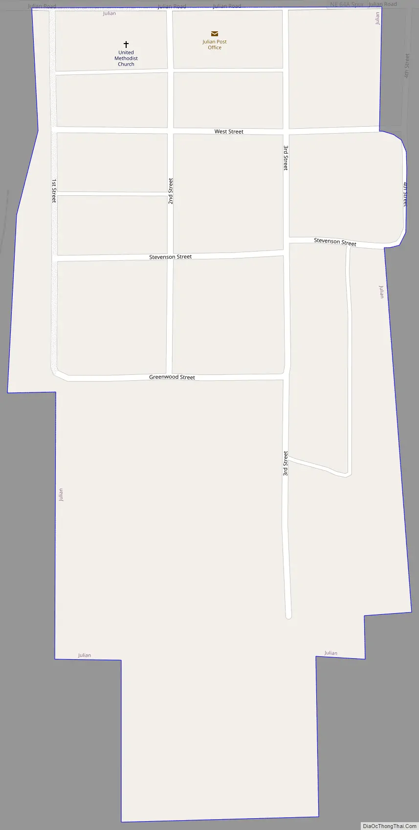
Julian Road Map
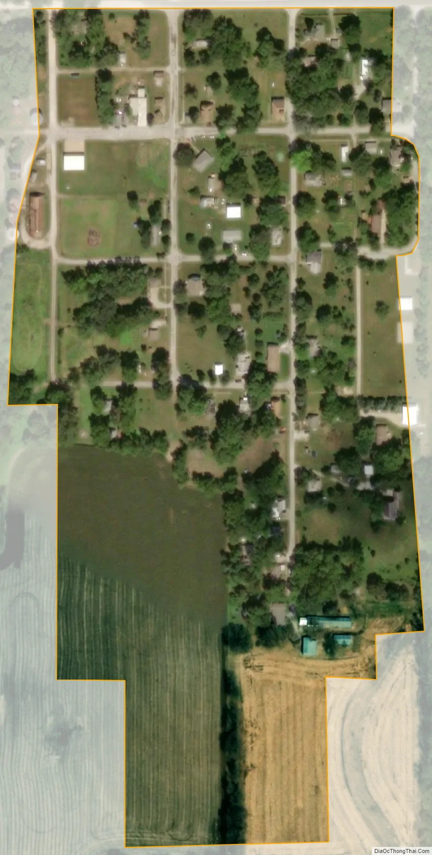
Julian city Satellite Map
Geography
Julian is located at 40°31′17″N 95°52′3″W / 40.52139°N 95.86750°W / 40.52139; -95.86750 (40.521309, -95.867413).
According to the United States Census Bureau, the village has a total area of 0.09 square miles (0.23 km), all land.
See also
Map of Nebraska State and its subdivision:- Adams
- Antelope
- Arthur
- Banner
- Blaine
- Boone
- Box Butte
- Boyd
- Brown
- Buffalo
- Burt
- Butler
- Cass
- Cedar
- Chase
- Cherry
- Cheyenne
- Clay
- Colfax
- Cuming
- Custer
- Dakota
- Dawes
- Dawson
- Deuel
- Dixon
- Dodge
- Douglas
- Dundy
- Fillmore
- Franklin
- Frontier
- Furnas
- Gage
- Garden
- Garfield
- Gosper
- Grant
- Greeley
- Hall
- Hamilton
- Harlan
- Hayes
- Hitchcock
- Holt
- Hooker
- Howard
- Jefferson
- Johnson
- Kearney
- Keith
- Keya Paha
- Kimball
- Knox
- Lancaster
- Lincoln
- Logan
- Loup
- Madison
- McPherson
- Merrick
- Morrill
- Nance
- Nemaha
- Nuckolls
- Otoe
- Pawnee
- Perkins
- Phelps
- Pierce
- Platte
- Polk
- Red Willow
- Richardson
- Rock
- Saline
- Sarpy
- Saunders
- Scotts Bluff
- Seward
- Sheridan
- Sherman
- Sioux
- Stanton
- Thayer
- Thomas
- Thurston
- Valley
- Washington
- Wayne
- Webster
- Wheeler
- York
- Alabama
- Alaska
- Arizona
- Arkansas
- California
- Colorado
- Connecticut
- Delaware
- District of Columbia
- Florida
- Georgia
- Hawaii
- Idaho
- Illinois
- Indiana
- Iowa
- Kansas
- Kentucky
- Louisiana
- Maine
- Maryland
- Massachusetts
- Michigan
- Minnesota
- Mississippi
- Missouri
- Montana
- Nebraska
- Nevada
- New Hampshire
- New Jersey
- New Mexico
- New York
- North Carolina
- North Dakota
- Ohio
- Oklahoma
- Oregon
- Pennsylvania
- Rhode Island
- South Carolina
- South Dakota
- Tennessee
- Texas
- Utah
- Vermont
- Virginia
- Washington
- West Virginia
- Wisconsin
- Wyoming