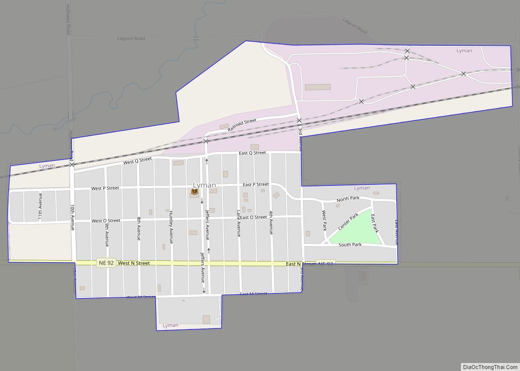
Lyman is a village in Scotts Bluff County, Nebraska, United States. It is part of the Scottsbluff, Nebraska Micropolitan Statistical Area. The population was 341 at the 2010 census.
| Name: | Lyman village |
|---|---|
| LSAD Code: | 47 |
| LSAD Description: | village (suffix) |
| State: | Nebraska |
| County: | Scotts Bluff County |
| Elevation: | 4,052 ft (1,235 m) |
| Total Area: | 0.31 sq mi (0.80 km²) |
| Land Area: | 0.31 sq mi (0.80 km²) |
| Water Area: | 0.00 sq mi (0.00 km²) |
| Total Population: | 259 |
| Population Density: | 835.48/sq mi (322.13/km²) |
| ZIP code: | 69352 |
| Area code: | 308 |
| FIPS code: | 3129715 |
| GNISfeature ID: | 0830973 |
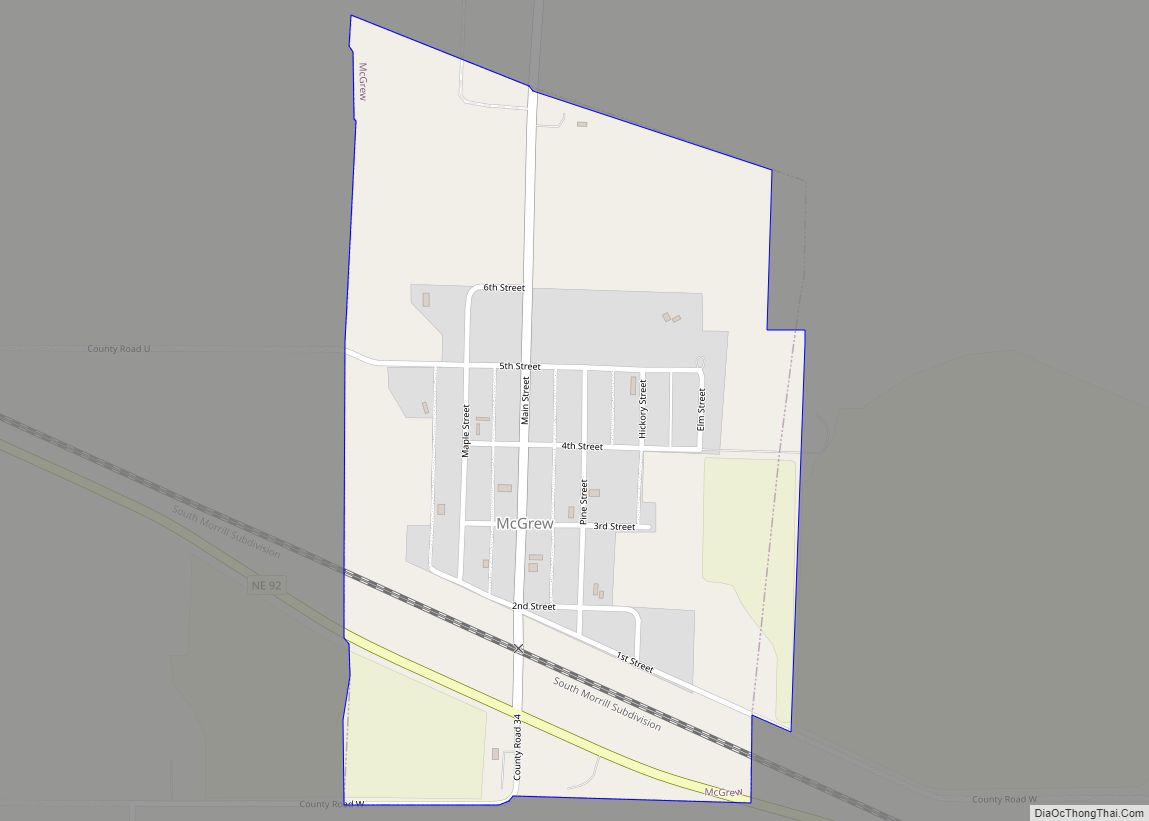
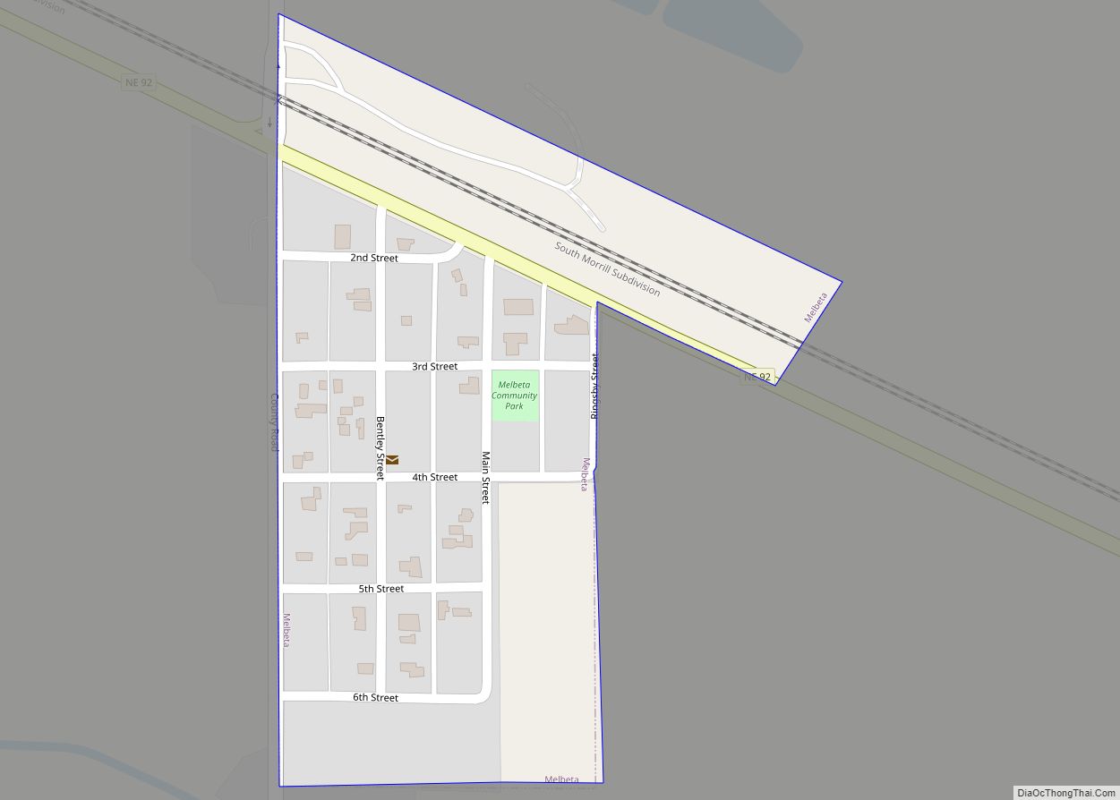
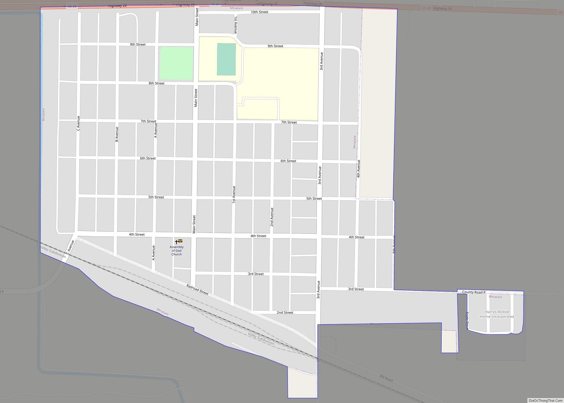
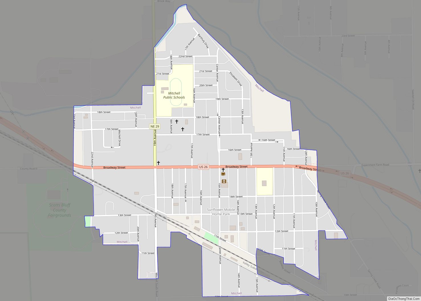
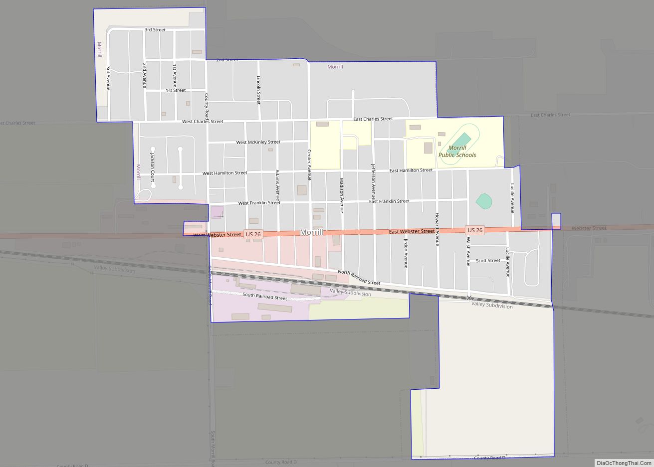
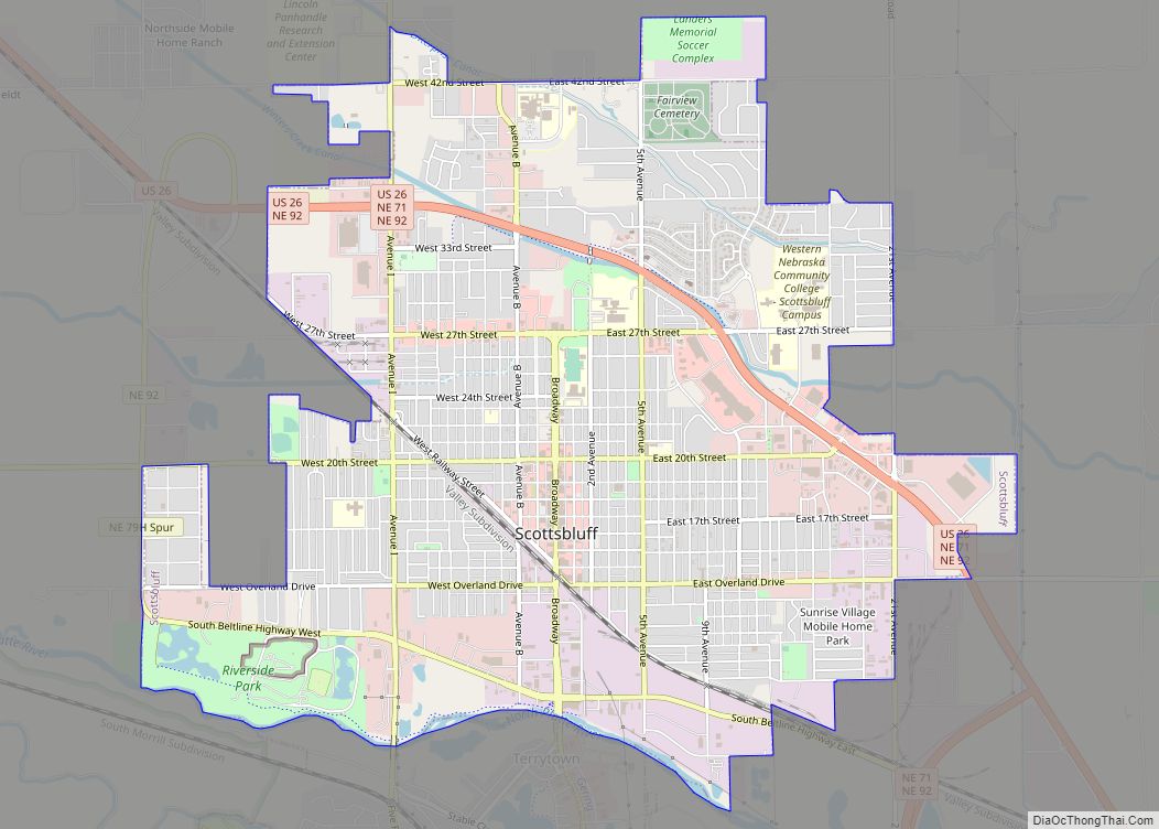
Online Interactive Map
Click on ![]() to view map in "full screen" mode.
to view map in "full screen" mode.
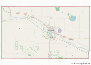
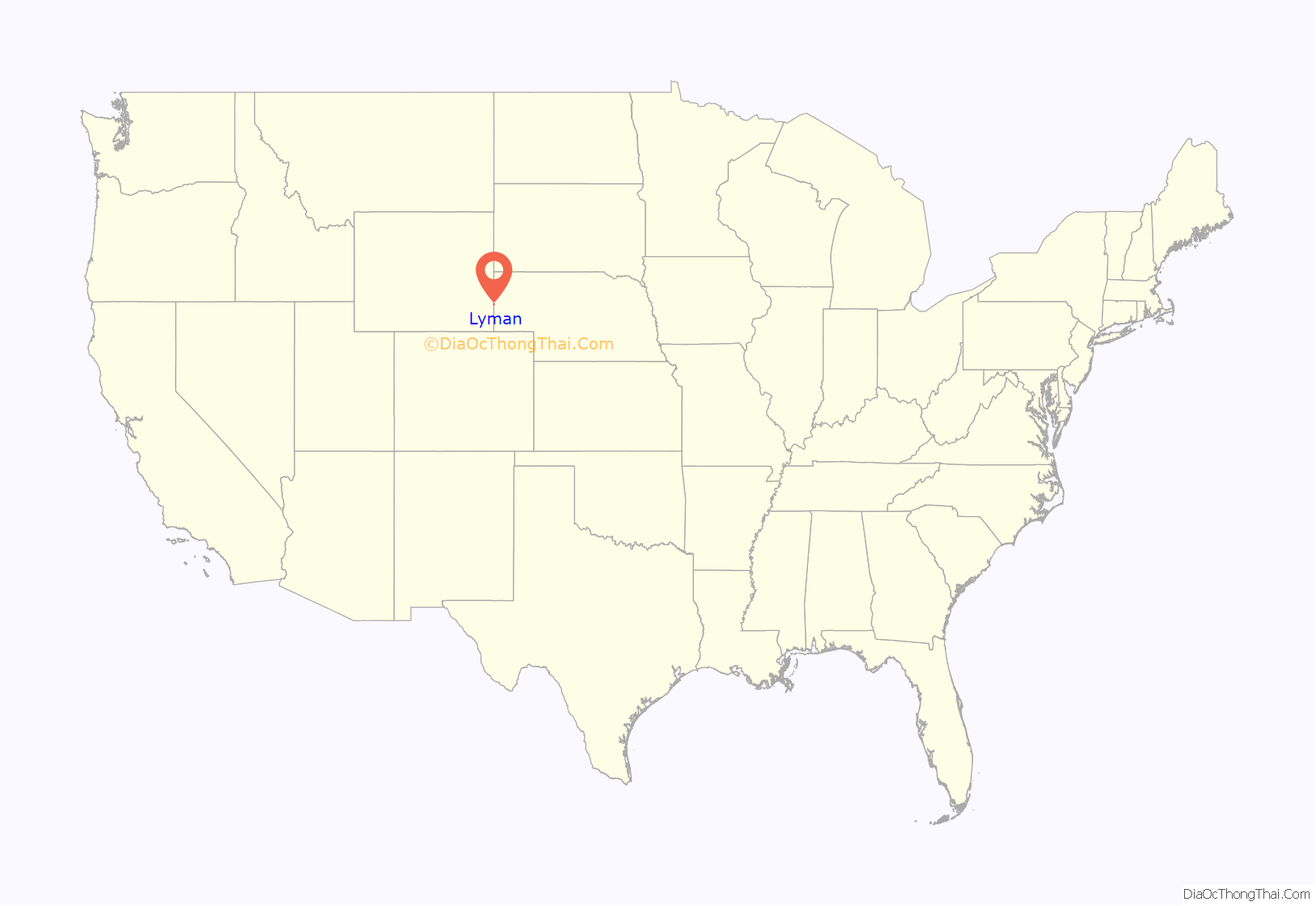
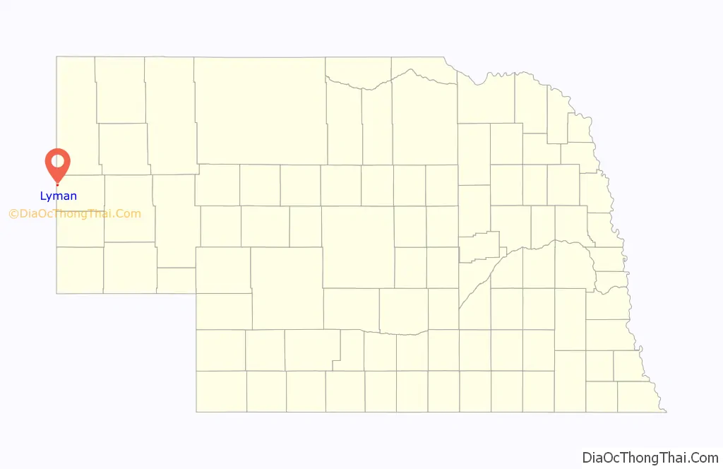
Lyman location map. Where is Lyman village?
History
Lyman, less than a mile from the Wyoming border, is sited south of Horse Creek, a tributary of the North Platte River in western Nebraska. Due to its semi-arid climate, the area did not develop as early as other areas in the state with more moisture.
Lyman was incorporated as a village in 1922, when the Union Pacific Railroad was extended to that point.
The village was named for bankers Charles and W. H. Lyman.
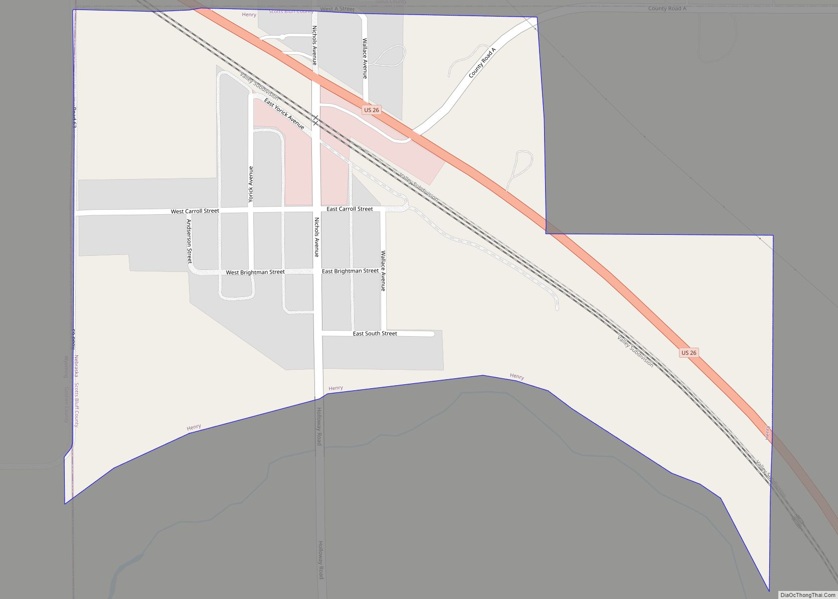
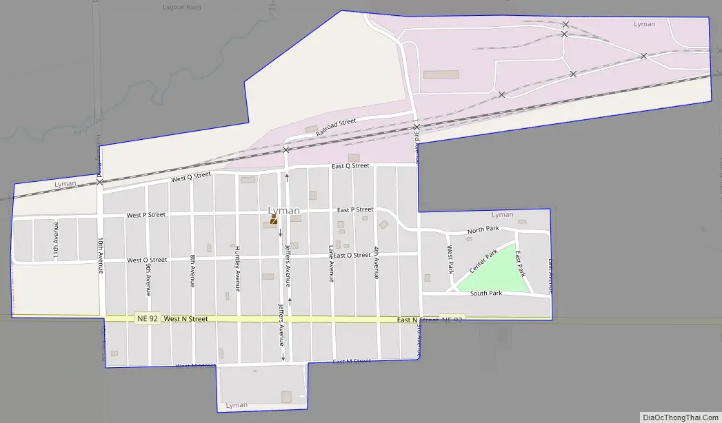
Lyman Road Map
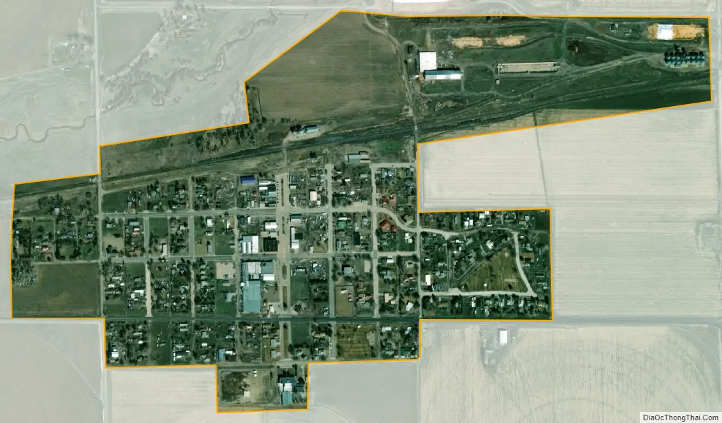
Lyman city Satellite Map
Geography
Lyman is located at 41°55′1″N 104°2′23″W / 41.91694°N 104.03972°W / 41.91694; -104.03972 (41.916973, -104.039781).
According to the United States Census Bureau, the village has a total area of 0.40 square miles (1.04 km), all land.
See also
Map of Nebraska State and its subdivision:- Adams
- Antelope
- Arthur
- Banner
- Blaine
- Boone
- Box Butte
- Boyd
- Brown
- Buffalo
- Burt
- Butler
- Cass
- Cedar
- Chase
- Cherry
- Cheyenne
- Clay
- Colfax
- Cuming
- Custer
- Dakota
- Dawes
- Dawson
- Deuel
- Dixon
- Dodge
- Douglas
- Dundy
- Fillmore
- Franklin
- Frontier
- Furnas
- Gage
- Garden
- Garfield
- Gosper
- Grant
- Greeley
- Hall
- Hamilton
- Harlan
- Hayes
- Hitchcock
- Holt
- Hooker
- Howard
- Jefferson
- Johnson
- Kearney
- Keith
- Keya Paha
- Kimball
- Knox
- Lancaster
- Lincoln
- Logan
- Loup
- Madison
- McPherson
- Merrick
- Morrill
- Nance
- Nemaha
- Nuckolls
- Otoe
- Pawnee
- Perkins
- Phelps
- Pierce
- Platte
- Polk
- Red Willow
- Richardson
- Rock
- Saline
- Sarpy
- Saunders
- Scotts Bluff
- Seward
- Sheridan
- Sherman
- Sioux
- Stanton
- Thayer
- Thomas
- Thurston
- Valley
- Washington
- Wayne
- Webster
- Wheeler
- York
- Alabama
- Alaska
- Arizona
- Arkansas
- California
- Colorado
- Connecticut
- Delaware
- District of Columbia
- Florida
- Georgia
- Hawaii
- Idaho
- Illinois
- Indiana
- Iowa
- Kansas
- Kentucky
- Louisiana
- Maine
- Maryland
- Massachusetts
- Michigan
- Minnesota
- Mississippi
- Missouri
- Montana
- Nebraska
- Nevada
- New Hampshire
- New Jersey
- New Mexico
- New York
- North Carolina
- North Dakota
- Ohio
- Oklahoma
- Oregon
- Pennsylvania
- Rhode Island
- South Carolina
- South Dakota
- Tennessee
- Texas
- Utah
- Vermont
- Virginia
- Washington
- West Virginia
- Wisconsin
- Wyoming