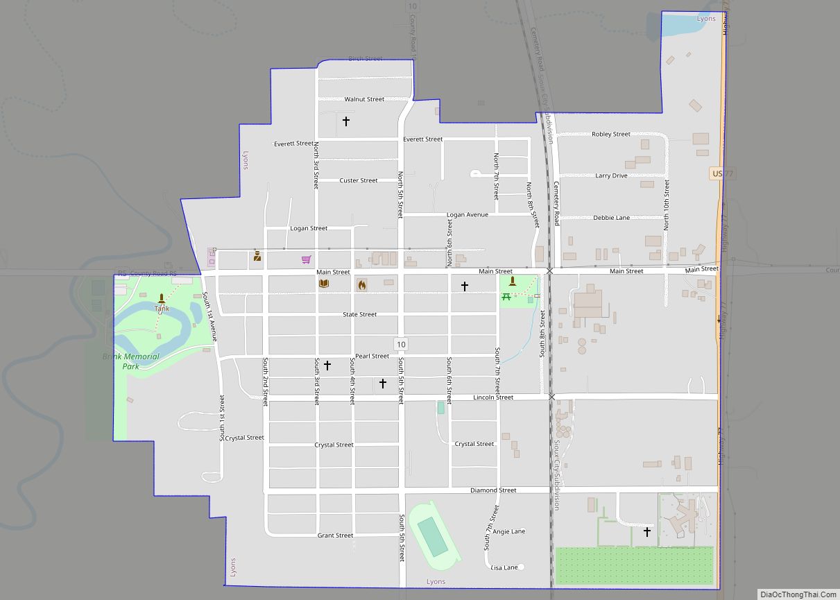
Lyons is a city in Burt County, Nebraska, United States. The population was 851 in the 2010 census. The city is named after its founder.
| Name: | Lyons city |
|---|---|
| LSAD Code: | 25 |
| LSAD Description: | city (suffix) |
| State: | Nebraska |
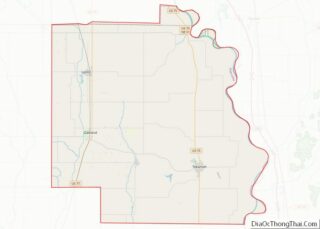
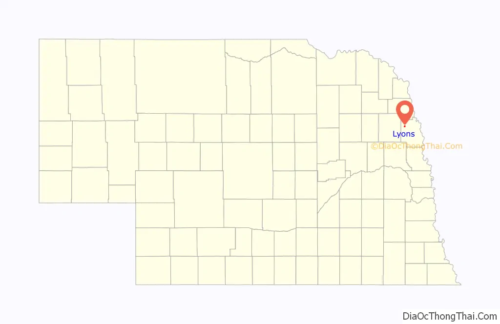
| County: | Burt County |
| Elevation: | 1,293 ft (394 m) |
| Total Area: | 0.69 sq mi (1.79 km²) |
| Land Area: | 0.68 sq mi (1.77 km²) |
| Water Area: | 0.01 sq mi (0.02 km²) |
| Total Population: | 824 |
| Population Density: | 1,206.44/sq mi (466.01/km²) |
| ZIP code: | 68038 |
| Area code: | 402 |
| FIPS code: | 3129855 |
| GNISfeature ID: | 0830977 |
| Website: | lyonscity.nebraska.gov |
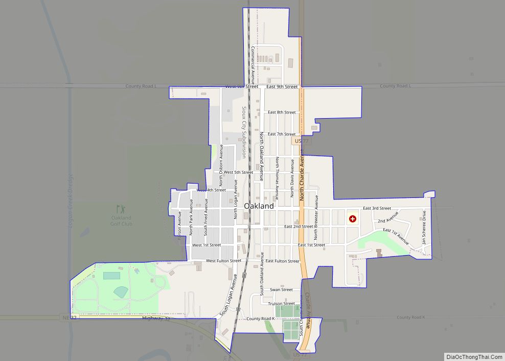
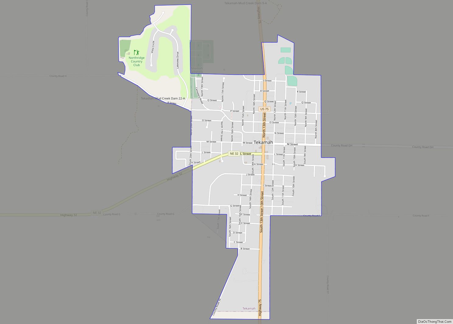
Online Interactive Map
Click on ![]() to view map in "full screen" mode.
to view map in "full screen" mode.
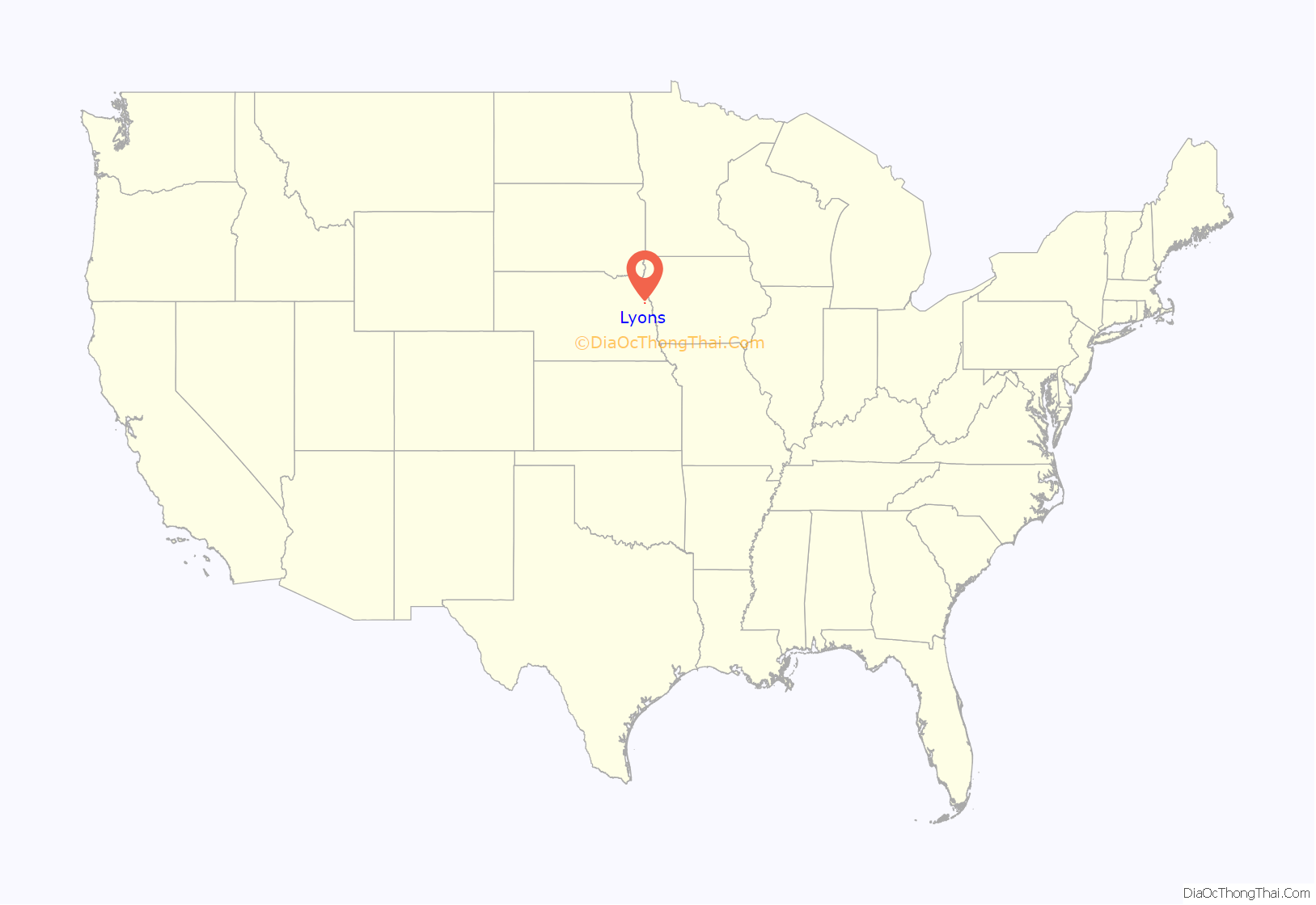
Lyons location map. Where is Lyons city?
History
The first settlers of Lyons came in the summer of 1866. The fertile soil of the Logan Valley, combined with the commercial promise provided by access to the railroad after 1881, assured the life of the town. Incorporated in 1884, the village was named for Waldo Lyon, a prominent citizen upon whose land the plots were laid out. Residents have continued to abide by a provision in Lyons’ deed stipulating that liquor not be sold within the town at risk of forfeit of the property.
The Lyons Roller Mill was erected in 1869. The three-story structure was powered by water from a dam built across Logan Creek just west of the town, and was in operation until 1931.
Many of the buildings of the town are constructed of brick manufactured in a brickyard which began operation in 1878. The swimming pool sits in the depression from which the clay was taken.
One of the finest trotting tracks in the country opened in 1891. Just one-fourth mile west of Lyons named the Kite Track. Famous horses broke world records and won large purses on this kite-shaped race track before hard times ended racing after 1893.
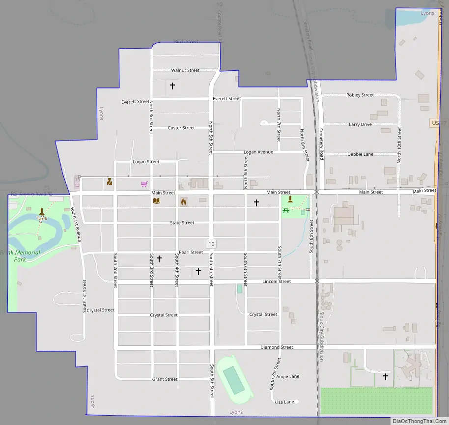
Lyons Road Map
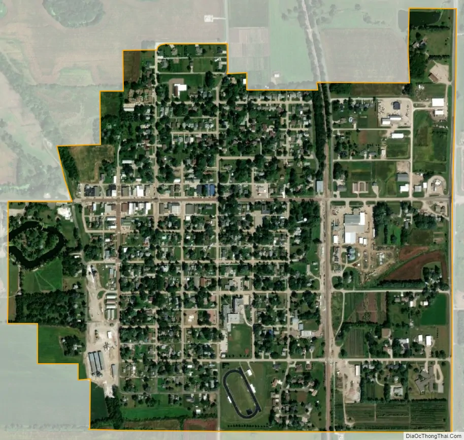
Lyons city Satellite Map
Geography
Lyons is located at 41°56′10″N 96°28′20″W / 41.93611°N 96.47222°W / 41.93611; -96.47222 (41.936110, -96.472255). According to the United States Census Bureau, the city has a total area of 0.69 square miles (1.79 km), of which 0.68 square miles (1.76 km) is land and 0.01 square miles (0.03 km) is water.
Lyons is on U.S. Route 77, south of the Omaha Indian Reservation and west of the Missouri River.
See also
Map of Nebraska State and its subdivision:- Adams
- Antelope
- Arthur
- Banner
- Blaine
- Boone
- Box Butte
- Boyd
- Brown
- Buffalo
- Burt
- Butler
- Cass
- Cedar
- Chase
- Cherry
- Cheyenne
- Clay
- Colfax
- Cuming
- Custer
- Dakota
- Dawes
- Dawson
- Deuel
- Dixon
- Dodge
- Douglas
- Dundy
- Fillmore
- Franklin
- Frontier
- Furnas
- Gage
- Garden
- Garfield
- Gosper
- Grant
- Greeley
- Hall
- Hamilton
- Harlan
- Hayes
- Hitchcock
- Holt
- Hooker
- Howard
- Jefferson
- Johnson
- Kearney
- Keith
- Keya Paha
- Kimball
- Knox
- Lancaster
- Lincoln
- Logan
- Loup
- Madison
- McPherson
- Merrick
- Morrill
- Nance
- Nemaha
- Nuckolls
- Otoe
- Pawnee
- Perkins
- Phelps
- Pierce
- Platte
- Polk
- Red Willow
- Richardson
- Rock
- Saline
- Sarpy
- Saunders
- Scotts Bluff
- Seward
- Sheridan
- Sherman
- Sioux
- Stanton
- Thayer
- Thomas
- Thurston
- Valley
- Washington
- Wayne
- Webster
- Wheeler
- York
- Alabama
- Alaska
- Arizona
- Arkansas
- California
- Colorado
- Connecticut
- Delaware
- District of Columbia
- Florida
- Georgia
- Hawaii
- Idaho
- Illinois
- Indiana
- Iowa
- Kansas
- Kentucky
- Louisiana
- Maine
- Maryland
- Massachusetts
- Michigan
- Minnesota
- Mississippi
- Missouri
- Montana
- Nebraska
- Nevada
- New Hampshire
- New Jersey
- New Mexico
- New York
- North Carolina
- North Dakota
- Ohio
- Oklahoma
- Oregon
- Pennsylvania
- Rhode Island
- South Carolina
- South Dakota
- Tennessee
- Texas
- Utah
- Vermont
- Virginia
- Washington
- West Virginia
- Wisconsin
- Wyoming