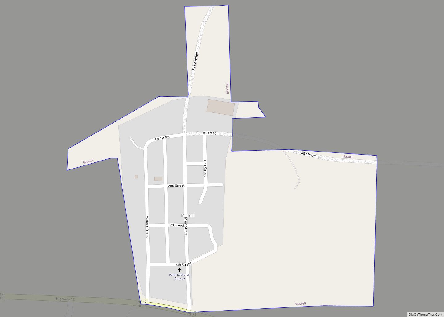
Maskell is a village in Dixon County, Nebraska, United States. It is part of the Sioux City, IA–NE–SD Metropolitan Statistical Area. The population was 76 at the 2010 census. It is reportedly home to the smallest city hall in the United States.
| Name: | Maskell village |
|---|---|
| LSAD Code: | 47 |
| LSAD Description: | village (suffix) |
| State: | Nebraska |
| County: | Dixon County |
| Elevation: | 1,263 ft (385 m) |
| Total Area: | 0.16 sq mi (0.41 km²) |
| Land Area: | 0.16 sq mi (0.41 km²) |
| Water Area: | 0.00 sq mi (0.00 km²) |
| Total Population: | 58 |
| Population Density: | 369.43/sq mi (142.68/km²) |
| ZIP code: | 68751 |
| Area code: | 402 |
| FIPS code: | 3131045 |
| GNISfeature ID: | 0831081 |
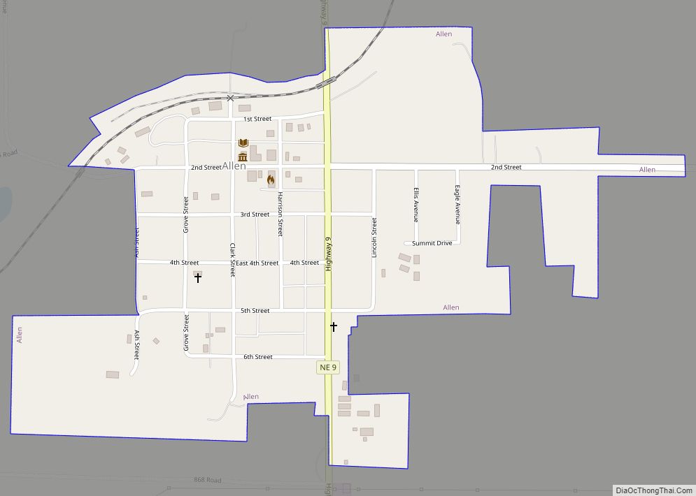
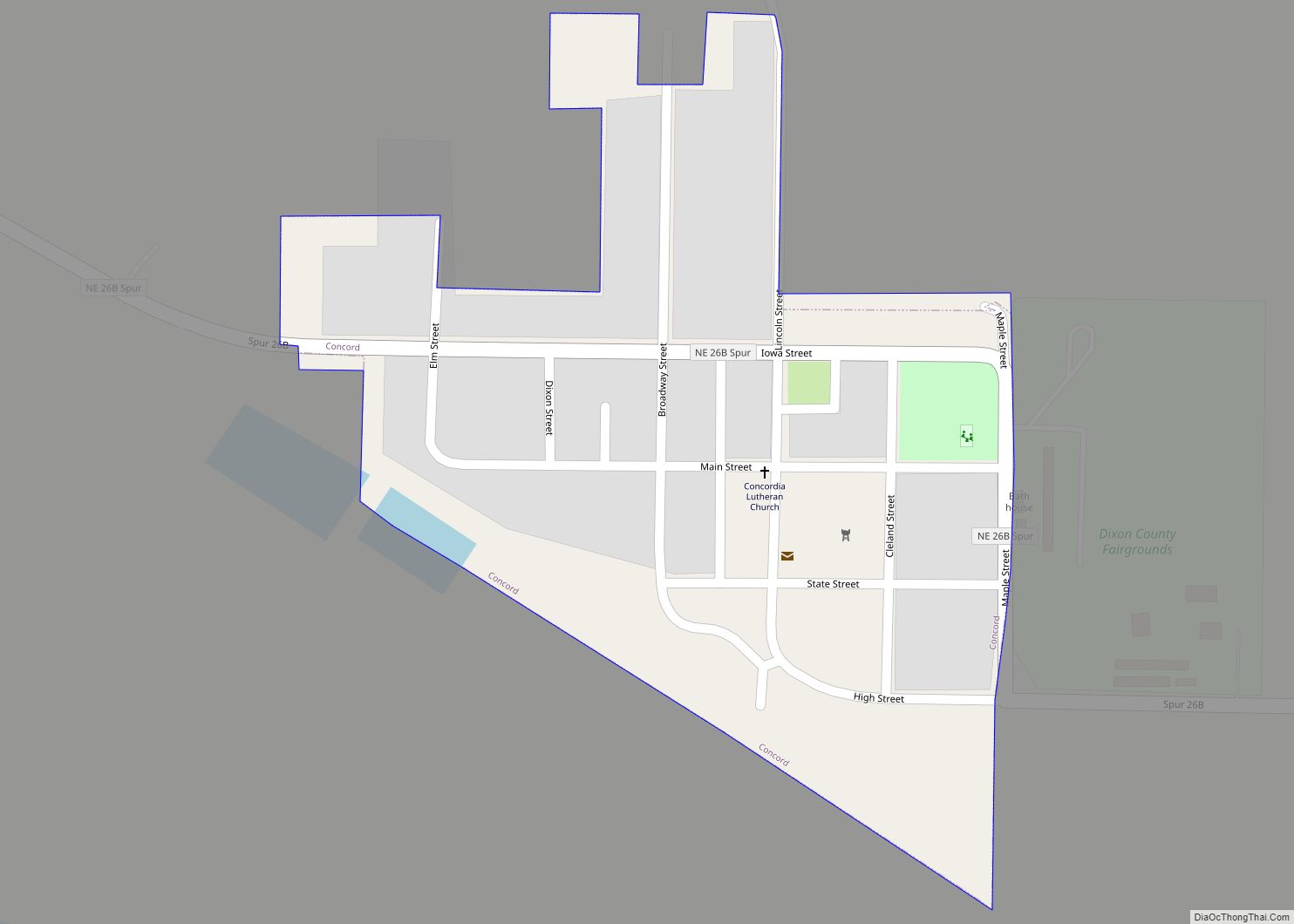
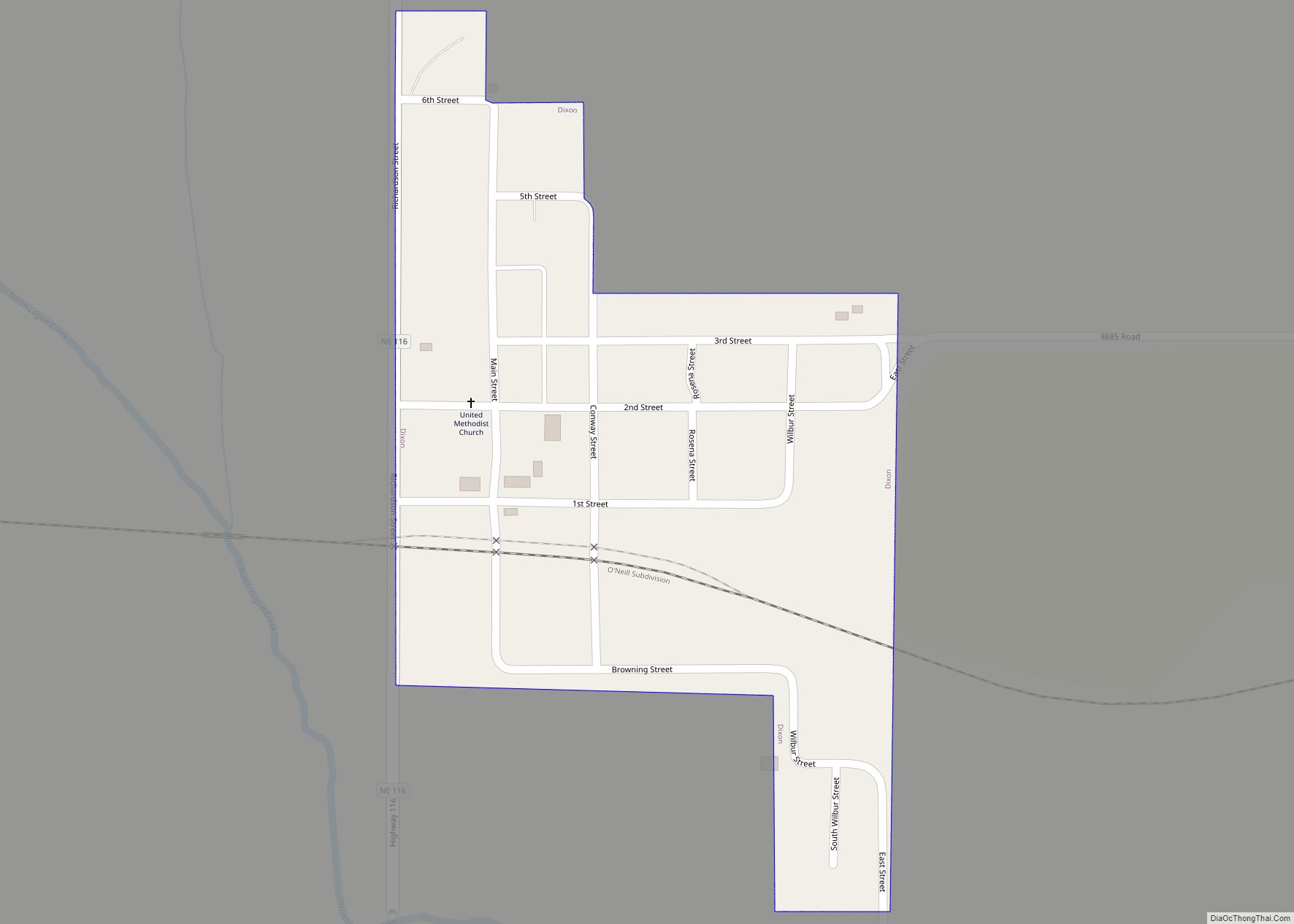
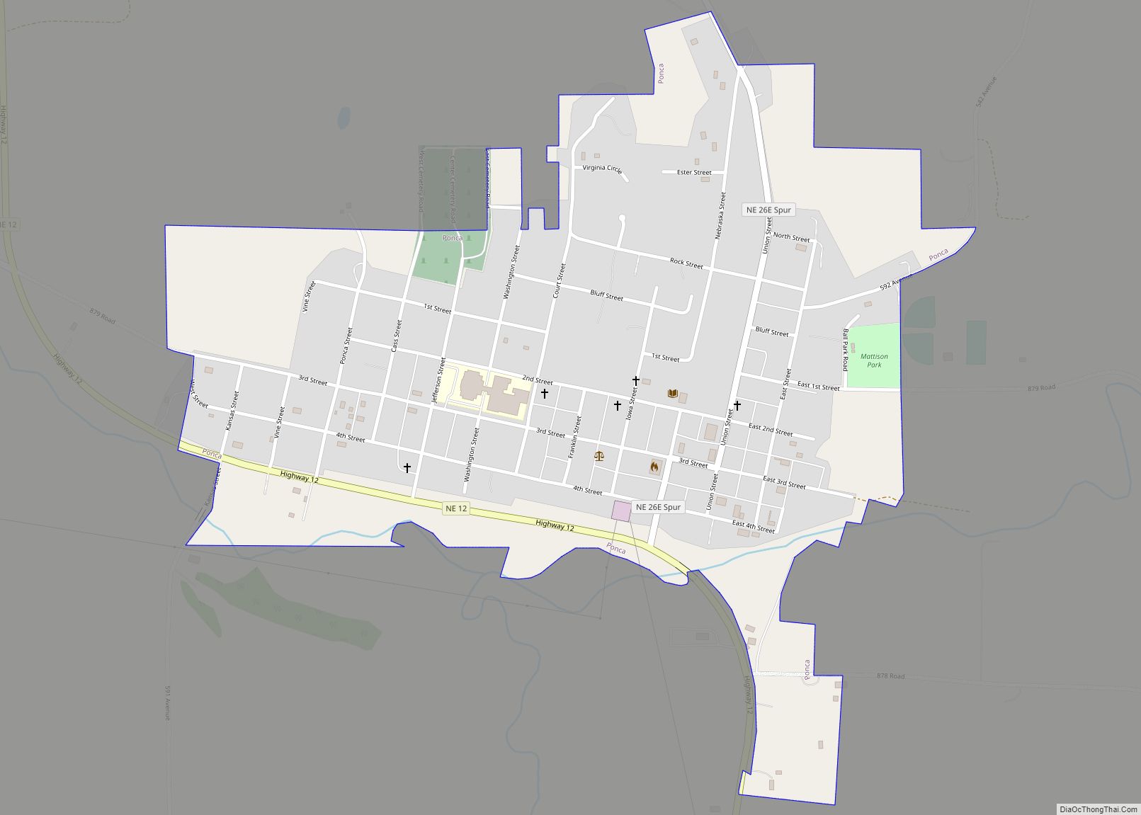
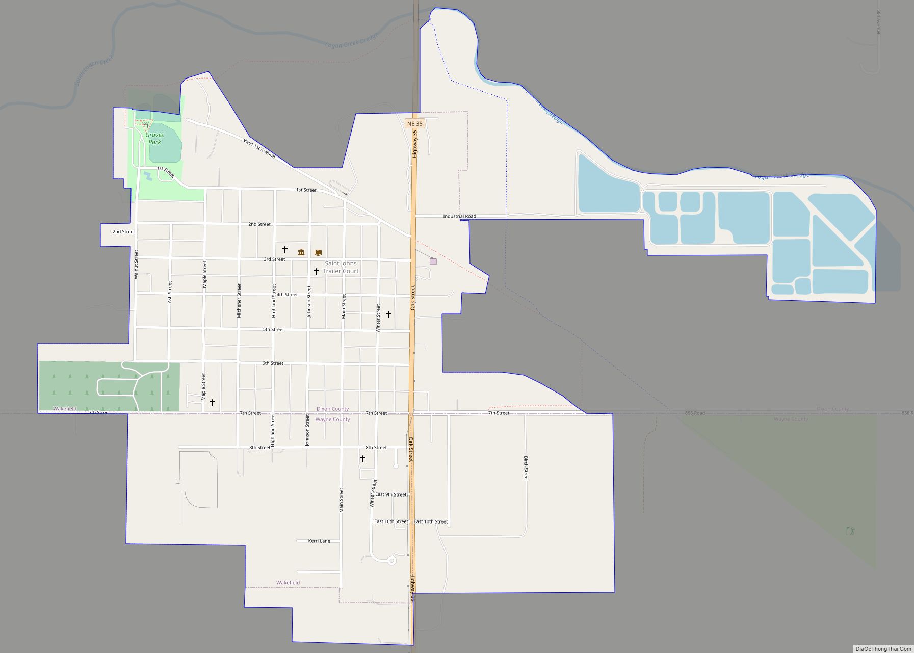
Online Interactive Map
Click on ![]() to view map in "full screen" mode.
to view map in "full screen" mode.
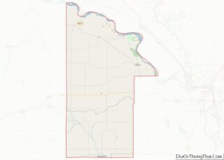
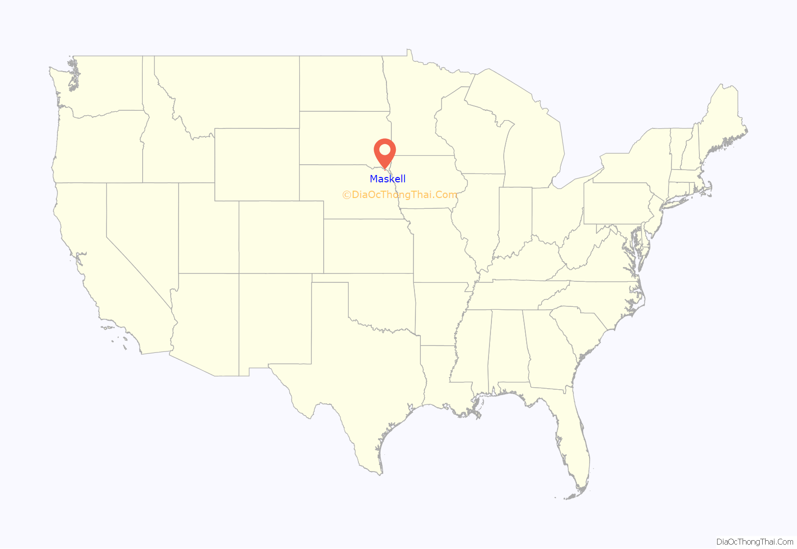
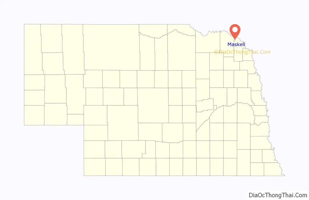
Maskell location map. Where is Maskell village?
History
Maskell was platted in 1907 when the Chicago, St. Paul, Minneapolis and Omaha Railway was extended to that point. There are two conflicting resources on how Maskell was named. In one source, Maskell was named for John Maskell, a pioneer settler. According to another, it was named after A. H. Maskell, an owner of the surrounding land and sheriff of Dixon County.
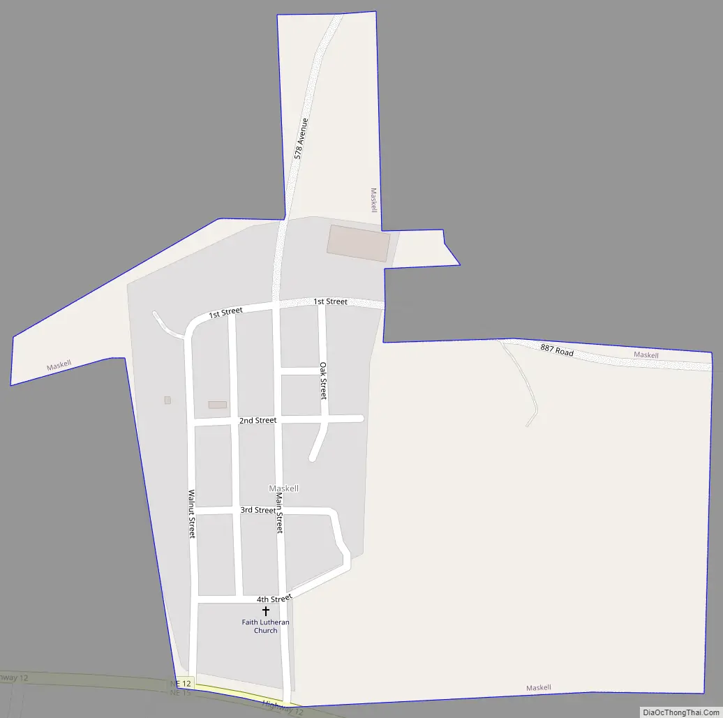
Maskell Road Map
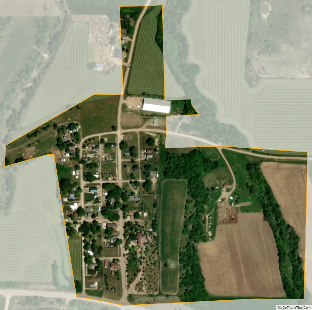
Maskell city Satellite Map
Geography
Maskell is located at 42°41′28″N 96°58′56″W / 42.69111°N 96.98222°W / 42.69111; -96.98222 (42.691051, -96.982127).
According to the United States Census Bureau, the village has a total area of 0.16 square miles (0.41 km), all land.
See also
Map of Nebraska State and its subdivision:- Adams
- Antelope
- Arthur
- Banner
- Blaine
- Boone
- Box Butte
- Boyd
- Brown
- Buffalo
- Burt
- Butler
- Cass
- Cedar
- Chase
- Cherry
- Cheyenne
- Clay
- Colfax
- Cuming
- Custer
- Dakota
- Dawes
- Dawson
- Deuel
- Dixon
- Dodge
- Douglas
- Dundy
- Fillmore
- Franklin
- Frontier
- Furnas
- Gage
- Garden
- Garfield
- Gosper
- Grant
- Greeley
- Hall
- Hamilton
- Harlan
- Hayes
- Hitchcock
- Holt
- Hooker
- Howard
- Jefferson
- Johnson
- Kearney
- Keith
- Keya Paha
- Kimball
- Knox
- Lancaster
- Lincoln
- Logan
- Loup
- Madison
- McPherson
- Merrick
- Morrill
- Nance
- Nemaha
- Nuckolls
- Otoe
- Pawnee
- Perkins
- Phelps
- Pierce
- Platte
- Polk
- Red Willow
- Richardson
- Rock
- Saline
- Sarpy
- Saunders
- Scotts Bluff
- Seward
- Sheridan
- Sherman
- Sioux
- Stanton
- Thayer
- Thomas
- Thurston
- Valley
- Washington
- Wayne
- Webster
- Wheeler
- York
- Alabama
- Alaska
- Arizona
- Arkansas
- California
- Colorado
- Connecticut
- Delaware
- District of Columbia
- Florida
- Georgia
- Hawaii
- Idaho
- Illinois
- Indiana
- Iowa
- Kansas
- Kentucky
- Louisiana
- Maine
- Maryland
- Massachusetts
- Michigan
- Minnesota
- Mississippi
- Missouri
- Montana
- Nebraska
- Nevada
- New Hampshire
- New Jersey
- New Mexico
- New York
- North Carolina
- North Dakota
- Ohio
- Oklahoma
- Oregon
- Pennsylvania
- Rhode Island
- South Carolina
- South Dakota
- Tennessee
- Texas
- Utah
- Vermont
- Virginia
- Washington
- West Virginia
- Wisconsin
- Wyoming