Minatare (Hidatsa: mirita’ri; “crosses the water”) is a city in Scotts Bluff County, Nebraska, United States. It is part of the Scottsbluff, Nebraska Micropolitan Statistical Area. The population was 816 at the 2010 census.
| Name: | Minatare city |
|---|---|
| LSAD Code: | 25 |
| LSAD Description: | city (suffix) |
| State: | Nebraska |
| County: | Scotts Bluff County |
| Incorporated: | 1900 |
| Elevation: | 3,822 ft (1,165 m) |
| Total Area: | 0.44 sq mi (1.13 km²) |
| Land Area: | 0.44 sq mi (1.13 km²) |
| Water Area: | 0.00 sq mi (0.00 km²) |
| Total Population: | 715 |
| Population Density: | 1,639.91/sq mi (632.71/km²) |
| ZIP code: | 69356 |
| Area code: | 308 |
| FIPS code: | 3132305 |
| GNISfeature ID: | 0831336 |
| Website: | http://cityofminatare.com/ |
Online Interactive Map
Click on ![]() to view map in "full screen" mode.
to view map in "full screen" mode.
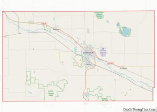
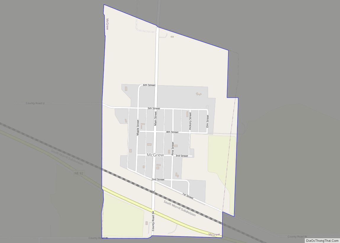
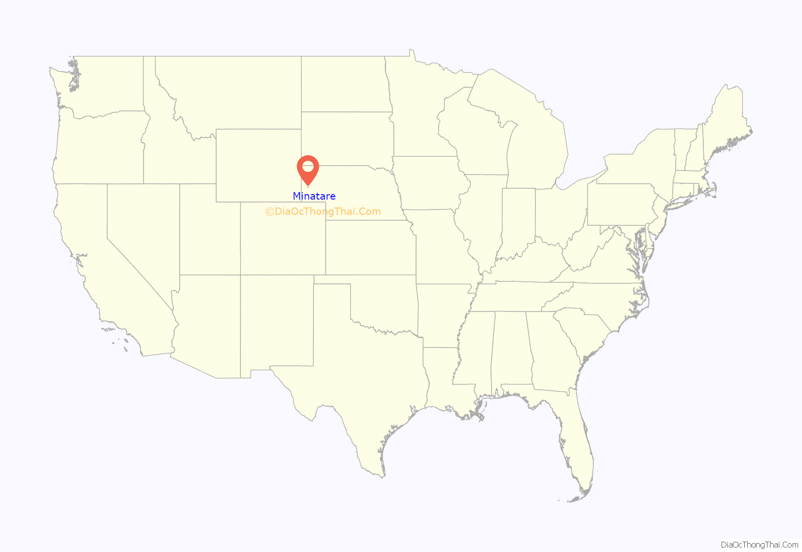
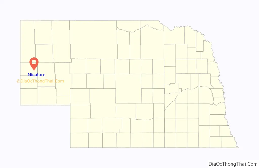
Minatare location map. Where is Minatare city?
History
The community is named after a sub branch of Sioux Indians called “Minnataree” who lived in the area. The community was originally named “Tabor”, and was established in 1887. The development of the area was based on the agriculture industry. The town moved and was renamed when the railroad bypassed Tabor in 1900. “Minnataree” is an Indian word meaning “clear water.” The community incorporated in 1900.
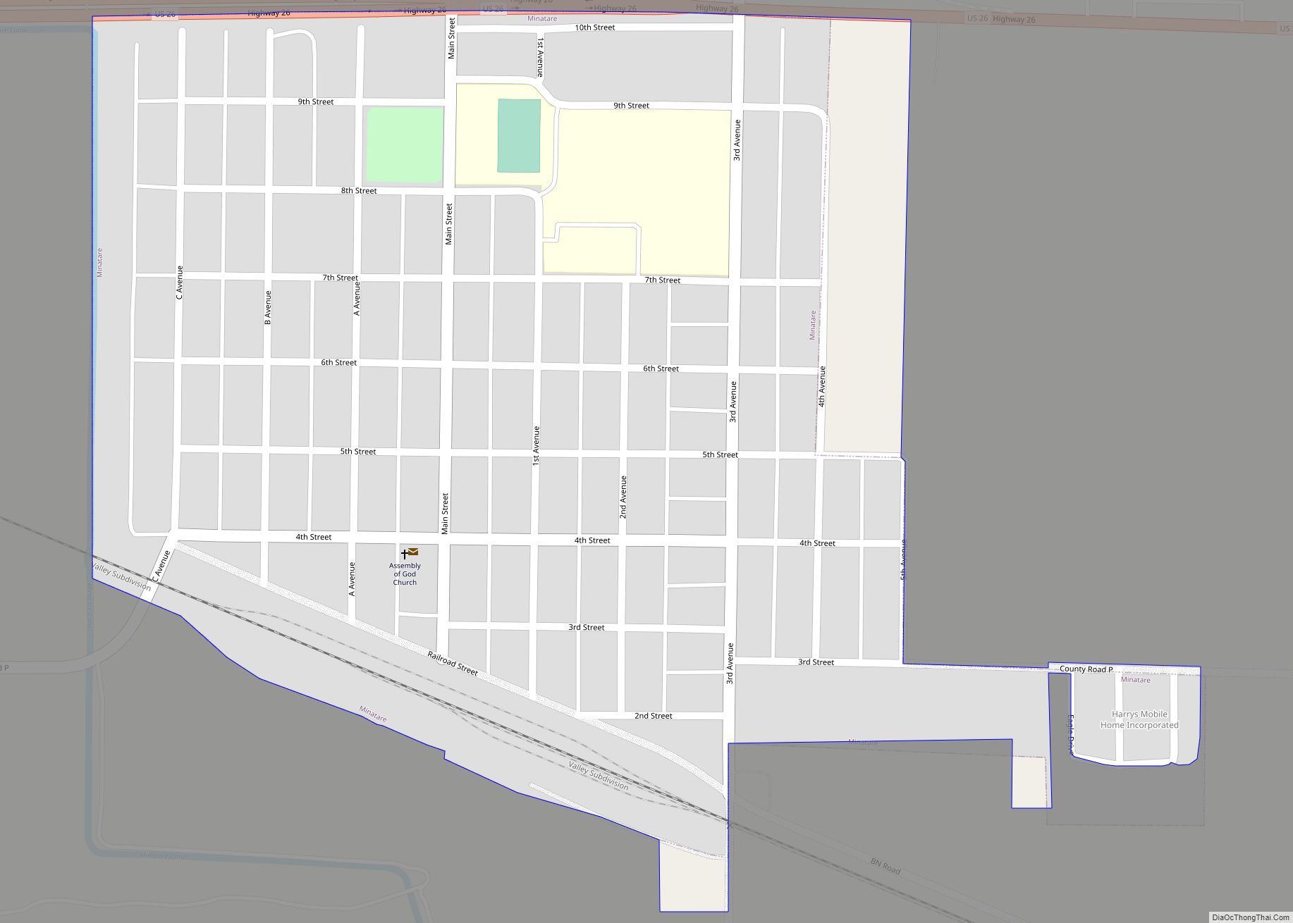
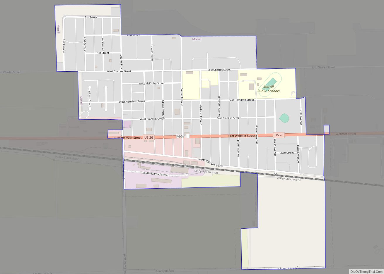
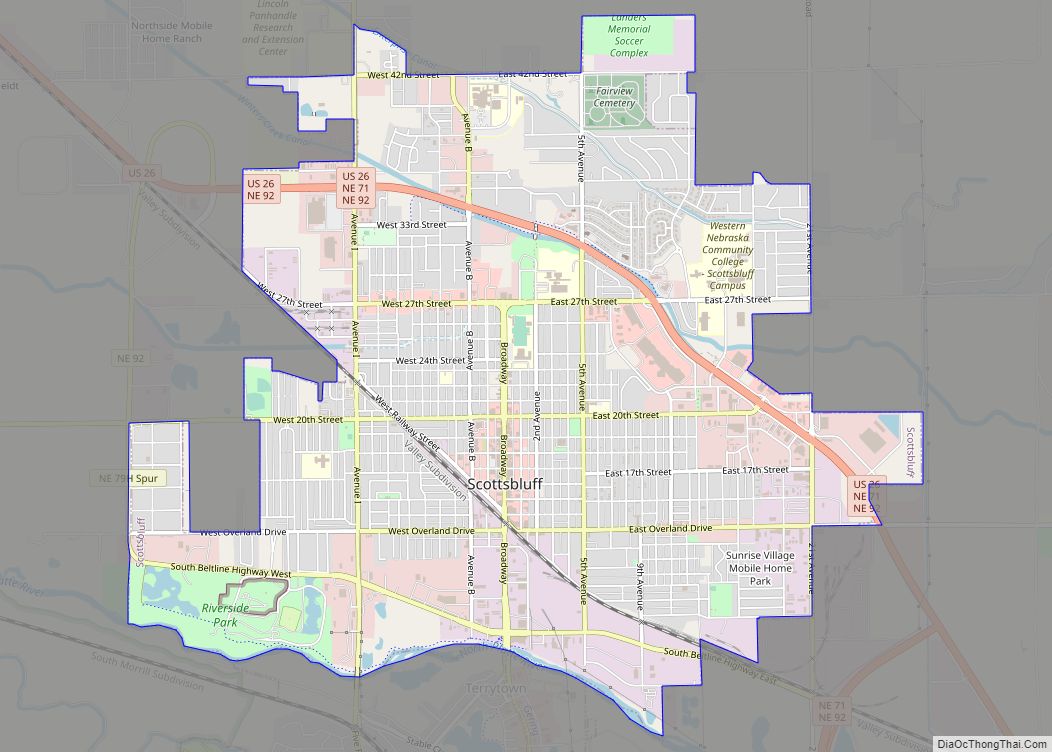
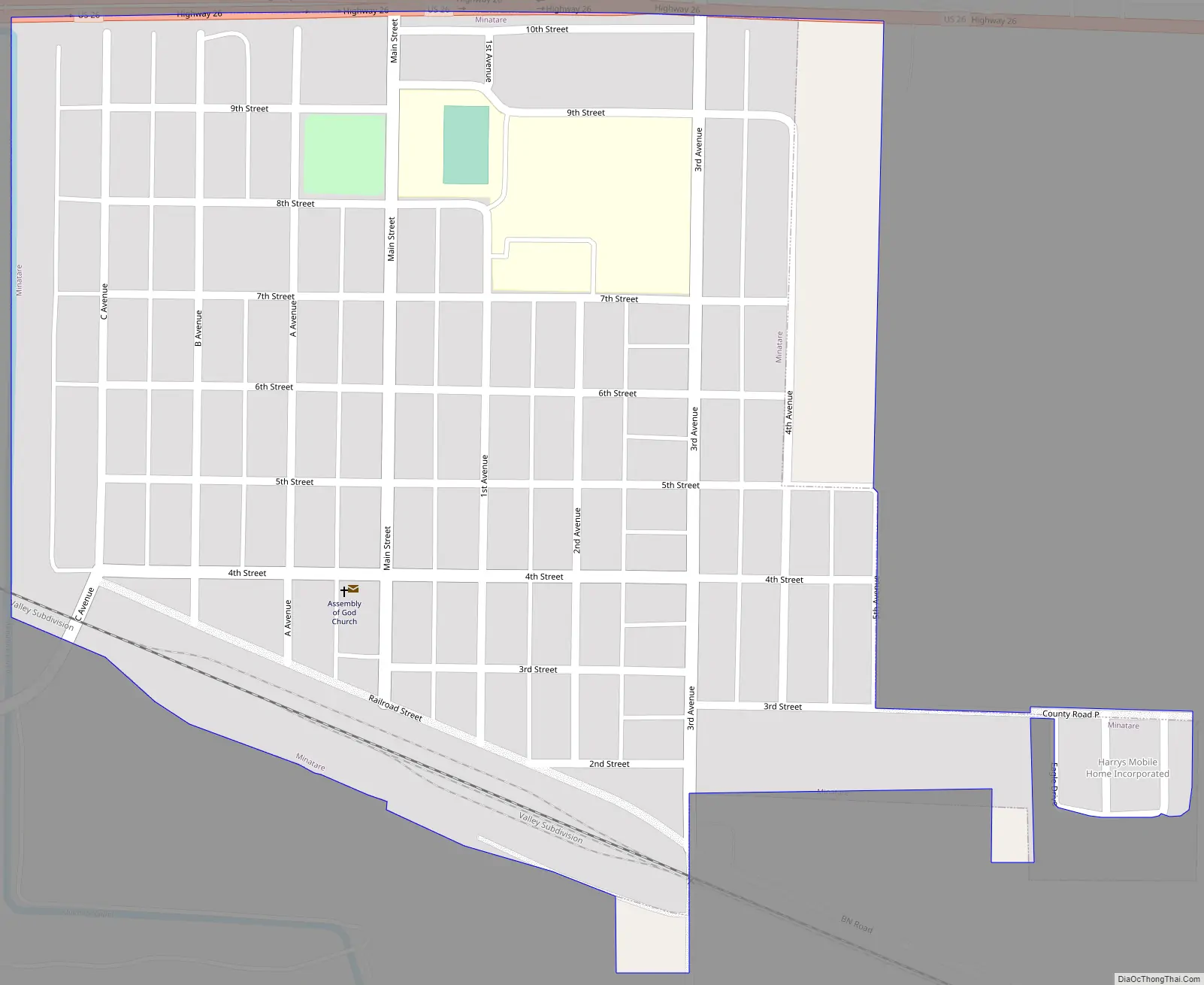
Minatare Road Map
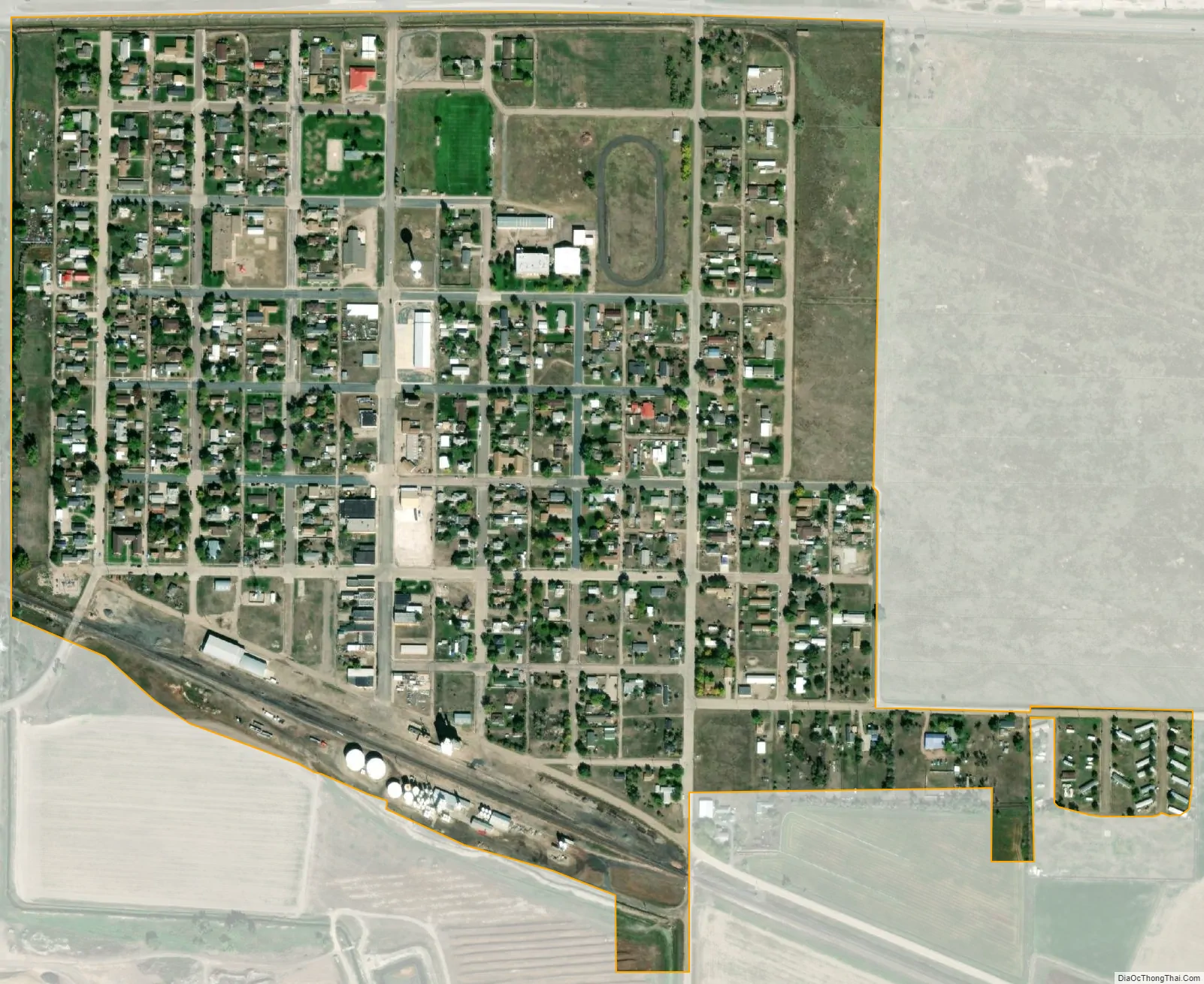
Minatare city Satellite Map
Geography
Minatare is located at 41°48′40″N 103°30′10″W / 41.81111°N 103.50278°W / 41.81111; -103.50278 (41.810992, -103.502728).
According to the United States Census Bureau, the city has a total area of 0.38 square miles (0.98 km), all land.
See also
Map of Nebraska State and its subdivision:- Adams
- Antelope
- Arthur
- Banner
- Blaine
- Boone
- Box Butte
- Boyd
- Brown
- Buffalo
- Burt
- Butler
- Cass
- Cedar
- Chase
- Cherry
- Cheyenne
- Clay
- Colfax
- Cuming
- Custer
- Dakota
- Dawes
- Dawson
- Deuel
- Dixon
- Dodge
- Douglas
- Dundy
- Fillmore
- Franklin
- Frontier
- Furnas
- Gage
- Garden
- Garfield
- Gosper
- Grant
- Greeley
- Hall
- Hamilton
- Harlan
- Hayes
- Hitchcock
- Holt
- Hooker
- Howard
- Jefferson
- Johnson
- Kearney
- Keith
- Keya Paha
- Kimball
- Knox
- Lancaster
- Lincoln
- Logan
- Loup
- Madison
- McPherson
- Merrick
- Morrill
- Nance
- Nemaha
- Nuckolls
- Otoe
- Pawnee
- Perkins
- Phelps
- Pierce
- Platte
- Polk
- Red Willow
- Richardson
- Rock
- Saline
- Sarpy
- Saunders
- Scotts Bluff
- Seward
- Sheridan
- Sherman
- Sioux
- Stanton
- Thayer
- Thomas
- Thurston
- Valley
- Washington
- Wayne
- Webster
- Wheeler
- York
- Alabama
- Alaska
- Arizona
- Arkansas
- California
- Colorado
- Connecticut
- Delaware
- District of Columbia
- Florida
- Georgia
- Hawaii
- Idaho
- Illinois
- Indiana
- Iowa
- Kansas
- Kentucky
- Louisiana
- Maine
- Maryland
- Massachusetts
- Michigan
- Minnesota
- Mississippi
- Missouri
- Montana
- Nebraska
- Nevada
- New Hampshire
- New Jersey
- New Mexico
- New York
- North Carolina
- North Dakota
- Ohio
- Oklahoma
- Oregon
- Pennsylvania
- Rhode Island
- South Carolina
- South Dakota
- Tennessee
- Texas
- Utah
- Vermont
- Virginia
- Washington
- West Virginia
- Wisconsin
- Wyoming