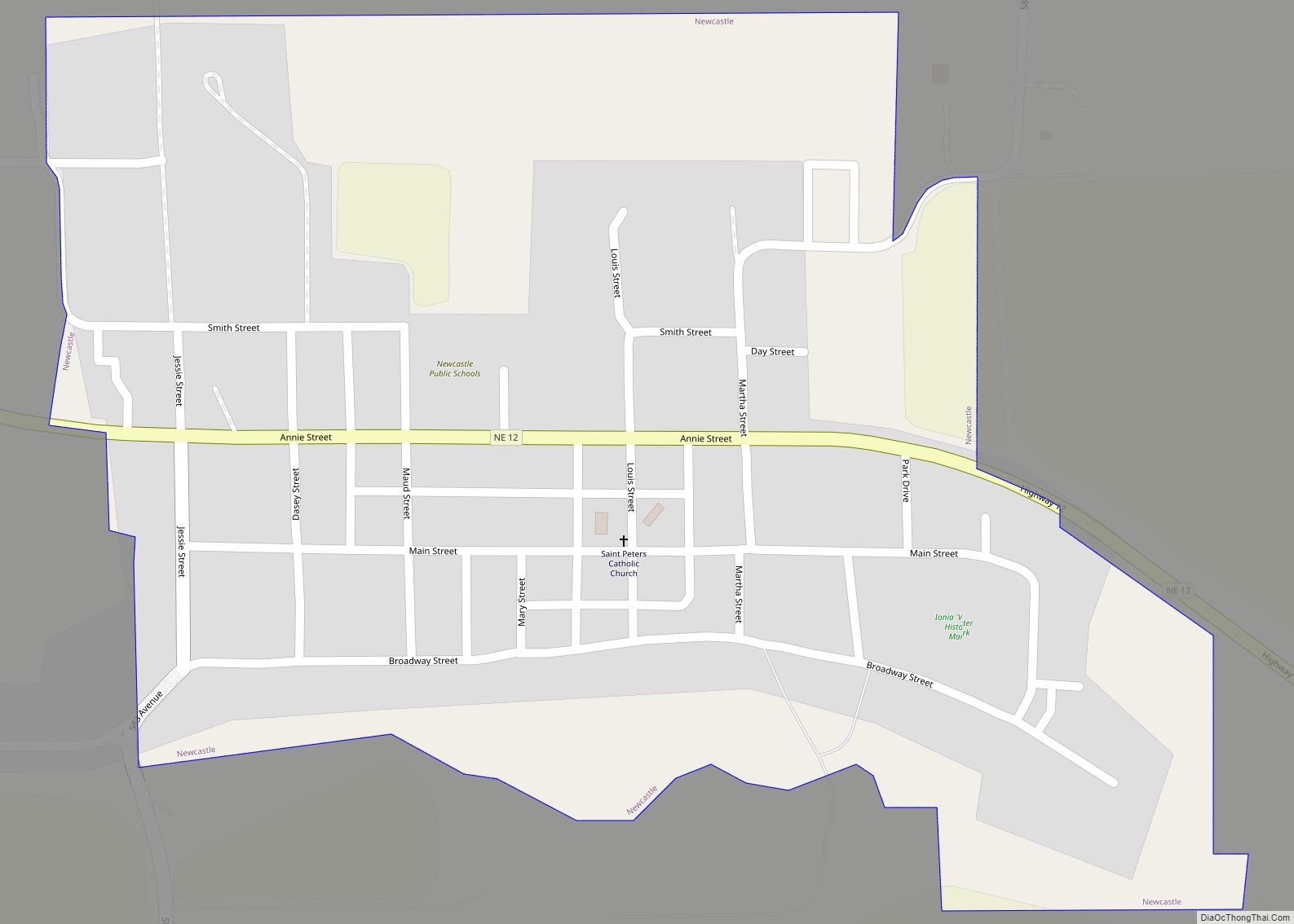
Newcastle is a village in Dixon County, Nebraska, United States. It is part of the Sioux City, IA–NE–SD Metropolitan Statistical Area. The population was 325 at the 2010 census.
| Name: | Newcastle village |
|---|---|
| LSAD Code: | 47 |
| LSAD Description: | village (suffix) |
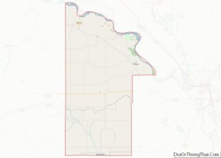
| State: | Nebraska |
| County: | Dixon County |
| Elevation: | 1,289 ft (393 m) |
| Total Area: | 0.34 sq mi (0.88 km²) |
| Land Area: | 0.34 sq mi (0.88 km²) |
| Water Area: | 0.00 sq mi (0.00 km²) |
| Total Population: | 272 |
| Population Density: | 804.73/sq mi (310.49/km²) |
| ZIP code: | 68757 |
| Area code: | 402 |
| FIPS code: | 3134090 |
| GNISfeature ID: | 0831615 |
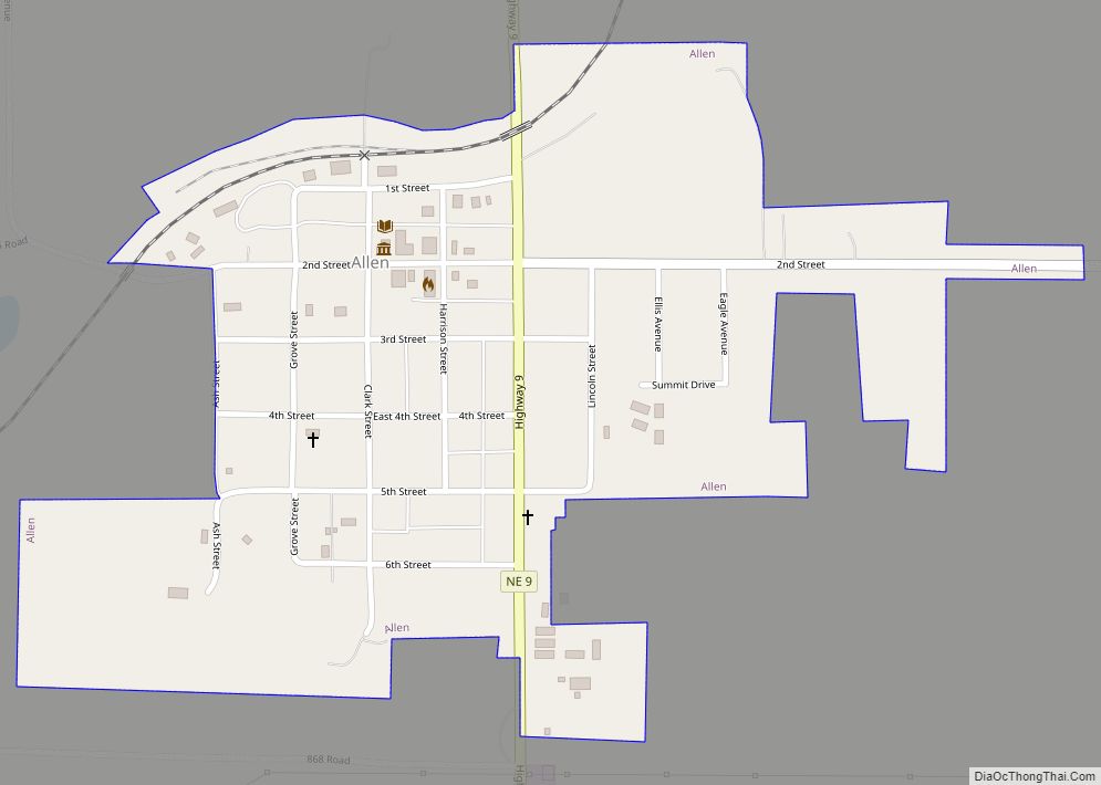
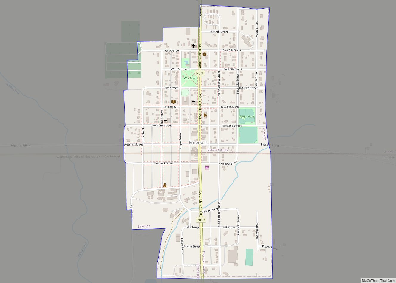
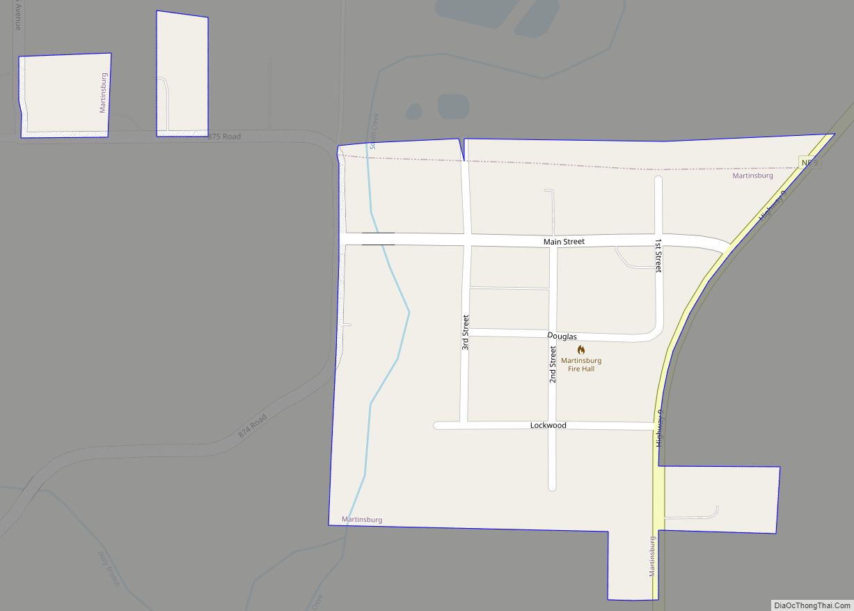
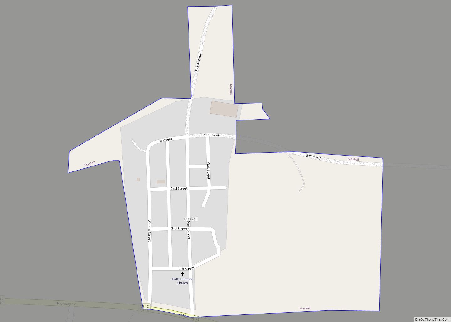
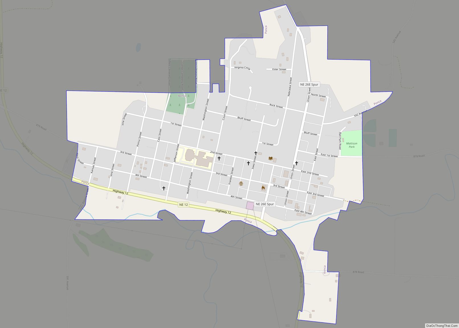
Online Interactive Map
Click on ![]() to view map in "full screen" mode.
to view map in "full screen" mode.
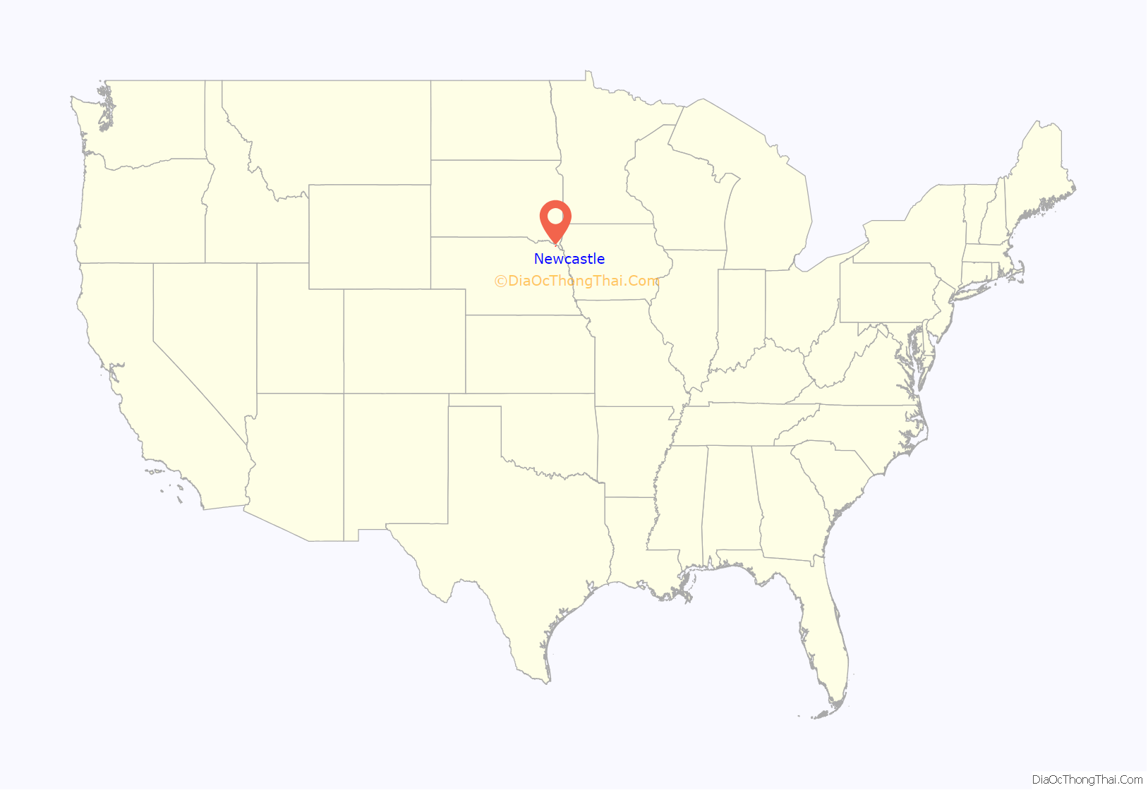
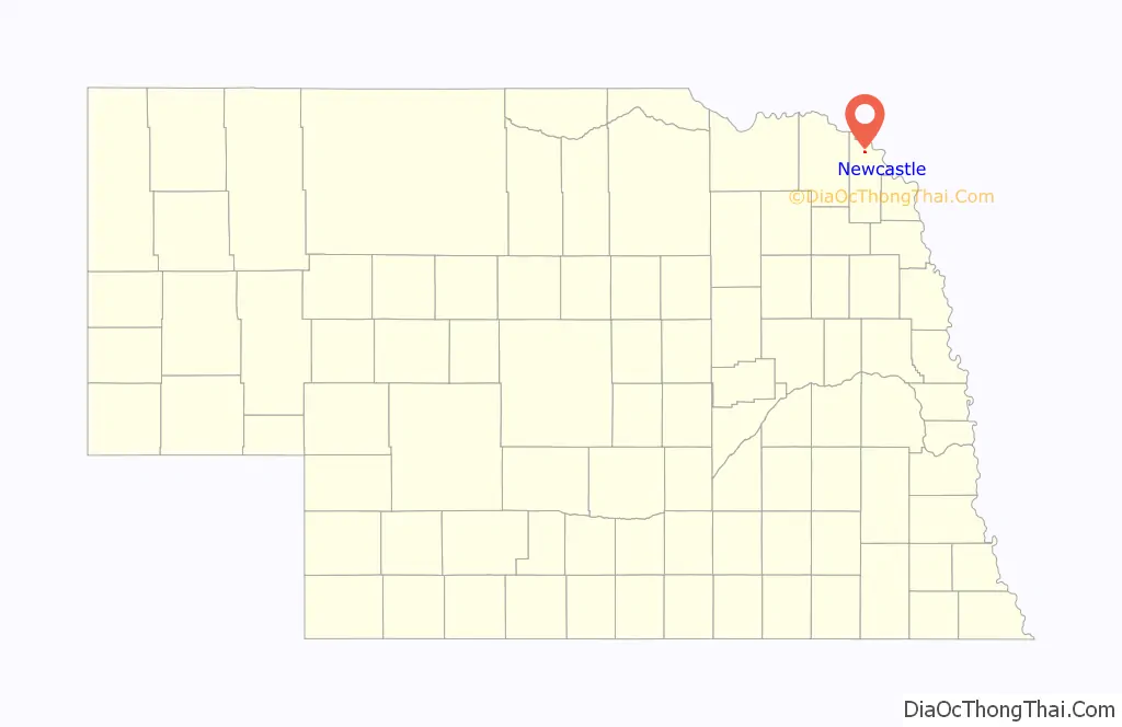
Newcastle location map. Where is Newcastle village?
History
Newcastle was incorporated as a village in 1893, soon after the Chicago, St. Paul, Minneapolis and Omaha Railway was extended to that point. According to one tradition, it was named from a pioneer settler’s house that was known locally as the “new castle”.
Newcastle hosts a unique Labor Day celebration every year that garners many attendees. Activities include an afternoon parade, fire hose water fights and an old fashioned wheat threshing exhibit.
The township has long had a close history with the abandoned riverfront town Ionia. It is listed on the Nebraska Historical markers due to close campsites of Lewis & Clark and reference to the Ionia volcano. The Ionia volcano is mentioned both by the explorers within their memoirs and local residents within the late nineteenth century county history publication “Dixon County History” published 1982.
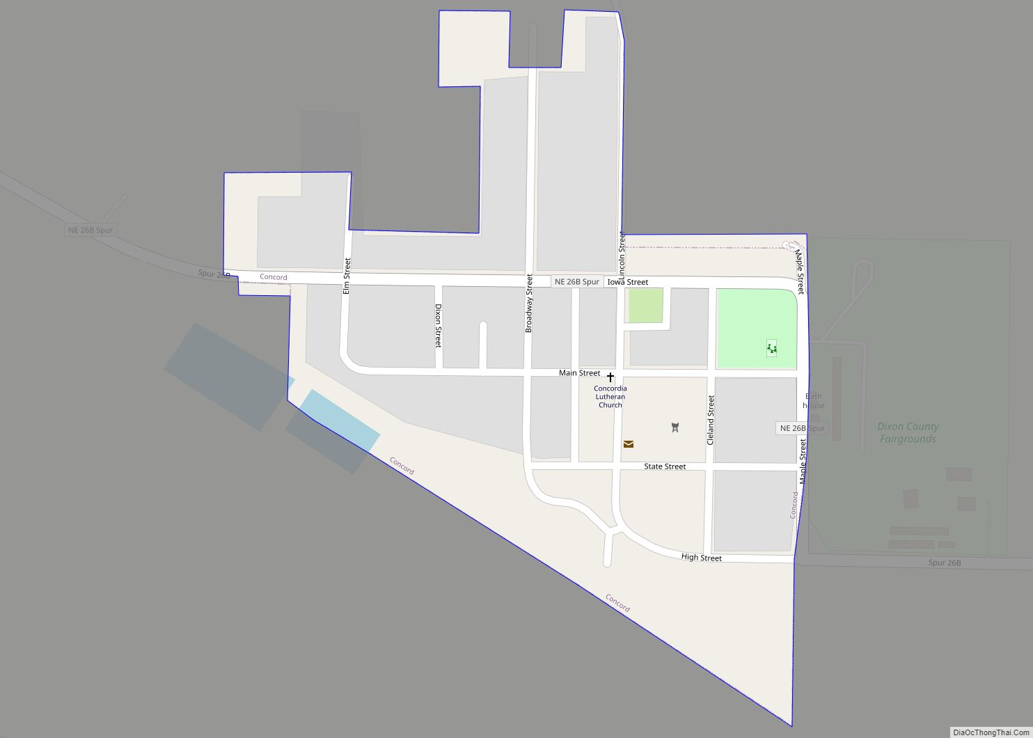
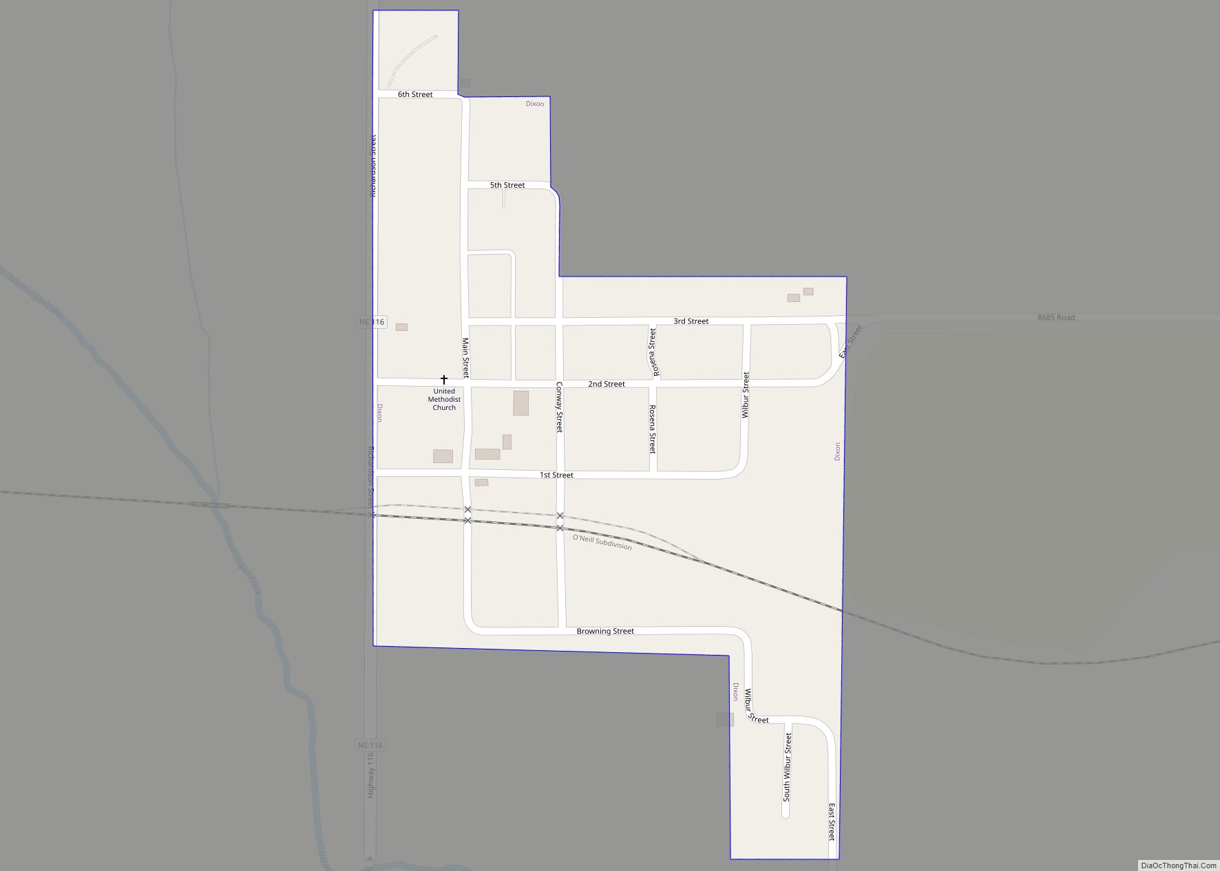
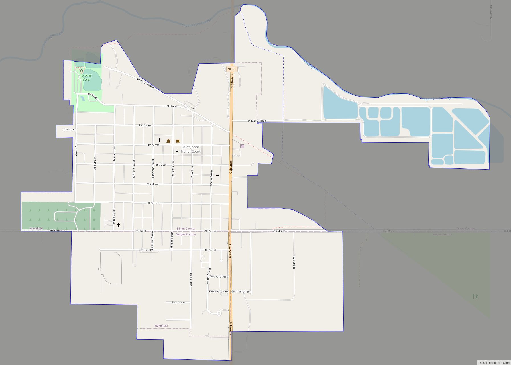
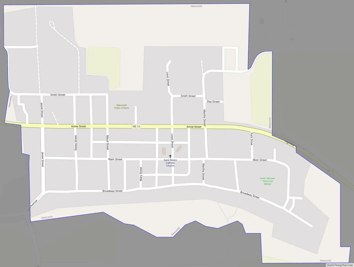
Newcastle Road Map
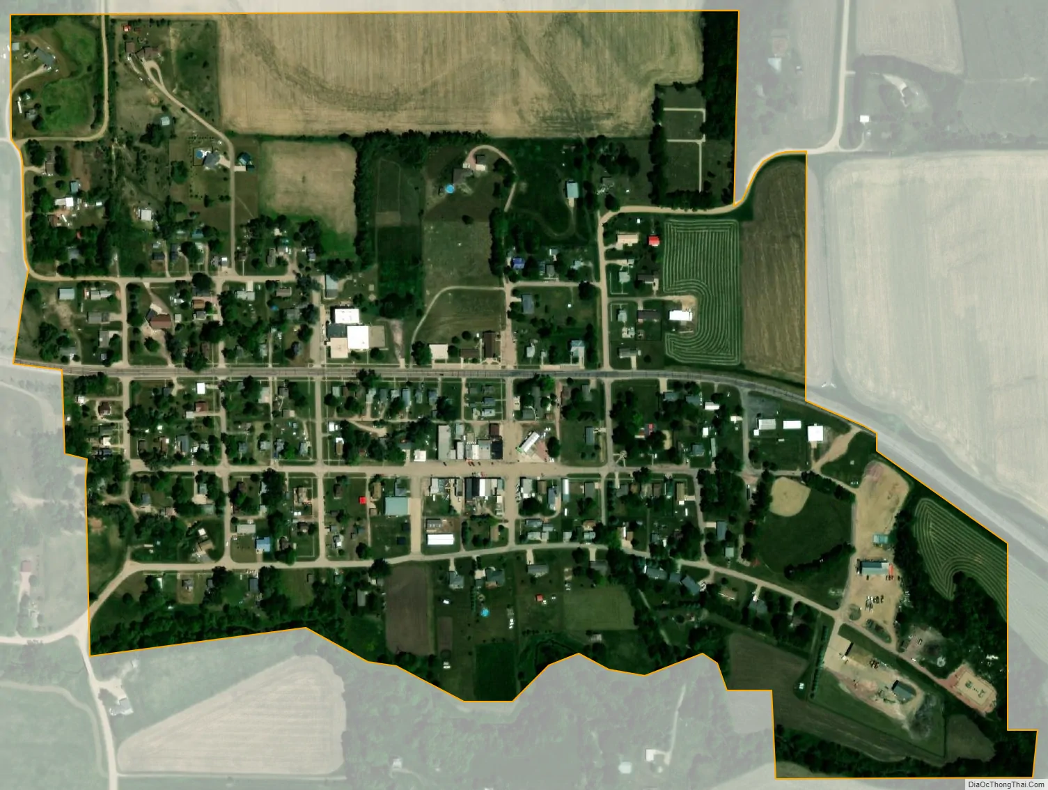
Newcastle city Satellite Map
Geography
Newcastle is located at 42°39′7″N 96°52′31″W / 42.65194°N 96.87528°W / 42.65194; -96.87528 (42.652005, -96.875265). According to the United States Census Bureau, the village has a total area of 0.34 square miles (0.88 km), all land.
Located near Newcastle is the Ionia Volcano, a mineral deposit that once sat in cliffs on the edge of the Missouri River. Water from the river would leak through fissures in the cliff and cause steam to rise. Much of the so-called volcano washed into the river in the 1870s, and today the site is more than a mile from the river.
See also
Map of Nebraska State and its subdivision:- Adams
- Antelope
- Arthur
- Banner
- Blaine
- Boone
- Box Butte
- Boyd
- Brown
- Buffalo
- Burt
- Butler
- Cass
- Cedar
- Chase
- Cherry
- Cheyenne
- Clay
- Colfax
- Cuming
- Custer
- Dakota
- Dawes
- Dawson
- Deuel
- Dixon
- Dodge
- Douglas
- Dundy
- Fillmore
- Franklin
- Frontier
- Furnas
- Gage
- Garden
- Garfield
- Gosper
- Grant
- Greeley
- Hall
- Hamilton
- Harlan
- Hayes
- Hitchcock
- Holt
- Hooker
- Howard
- Jefferson
- Johnson
- Kearney
- Keith
- Keya Paha
- Kimball
- Knox
- Lancaster
- Lincoln
- Logan
- Loup
- Madison
- McPherson
- Merrick
- Morrill
- Nance
- Nemaha
- Nuckolls
- Otoe
- Pawnee
- Perkins
- Phelps
- Pierce
- Platte
- Polk
- Red Willow
- Richardson
- Rock
- Saline
- Sarpy
- Saunders
- Scotts Bluff
- Seward
- Sheridan
- Sherman
- Sioux
- Stanton
- Thayer
- Thomas
- Thurston
- Valley
- Washington
- Wayne
- Webster
- Wheeler
- York
- Alabama
- Alaska
- Arizona
- Arkansas
- California
- Colorado
- Connecticut
- Delaware
- District of Columbia
- Florida
- Georgia
- Hawaii
- Idaho
- Illinois
- Indiana
- Iowa
- Kansas
- Kentucky
- Louisiana
- Maine
- Maryland
- Massachusetts
- Michigan
- Minnesota
- Mississippi
- Missouri
- Montana
- Nebraska
- Nevada
- New Hampshire
- New Jersey
- New Mexico
- New York
- North Carolina
- North Dakota
- Ohio
- Oklahoma
- Oregon
- Pennsylvania
- Rhode Island
- South Carolina
- South Dakota
- Tennessee
- Texas
- Utah
- Vermont
- Virginia
- Washington
- West Virginia
- Wisconsin
- Wyoming