Oconto is a village in Custer County, Nebraska, United States. The population was 151 at the 2010 census.
| Name: | Oconto village |
|---|---|
| LSAD Code: | 47 |
| LSAD Description: | village (suffix) |
| State: | Nebraska |
| County: | Custer County |
| Founded: | 1887 |
| Incorporated: | 1906 |
| Elevation: | 2,575 ft (785 m) |
| Total Area: | 0.20 sq mi (0.53 km²) |
| Land Area: | 0.20 sq mi (0.53 km²) |
| Water Area: | 0.00 sq mi (0.00 km²) |
| Total Population: | 138 |
| Population Density: | 679.80/sq mi (262.33/km²) |
| ZIP code: | 68860 |
| Area code: | 308 |
| FIPS code: | 3135665 |
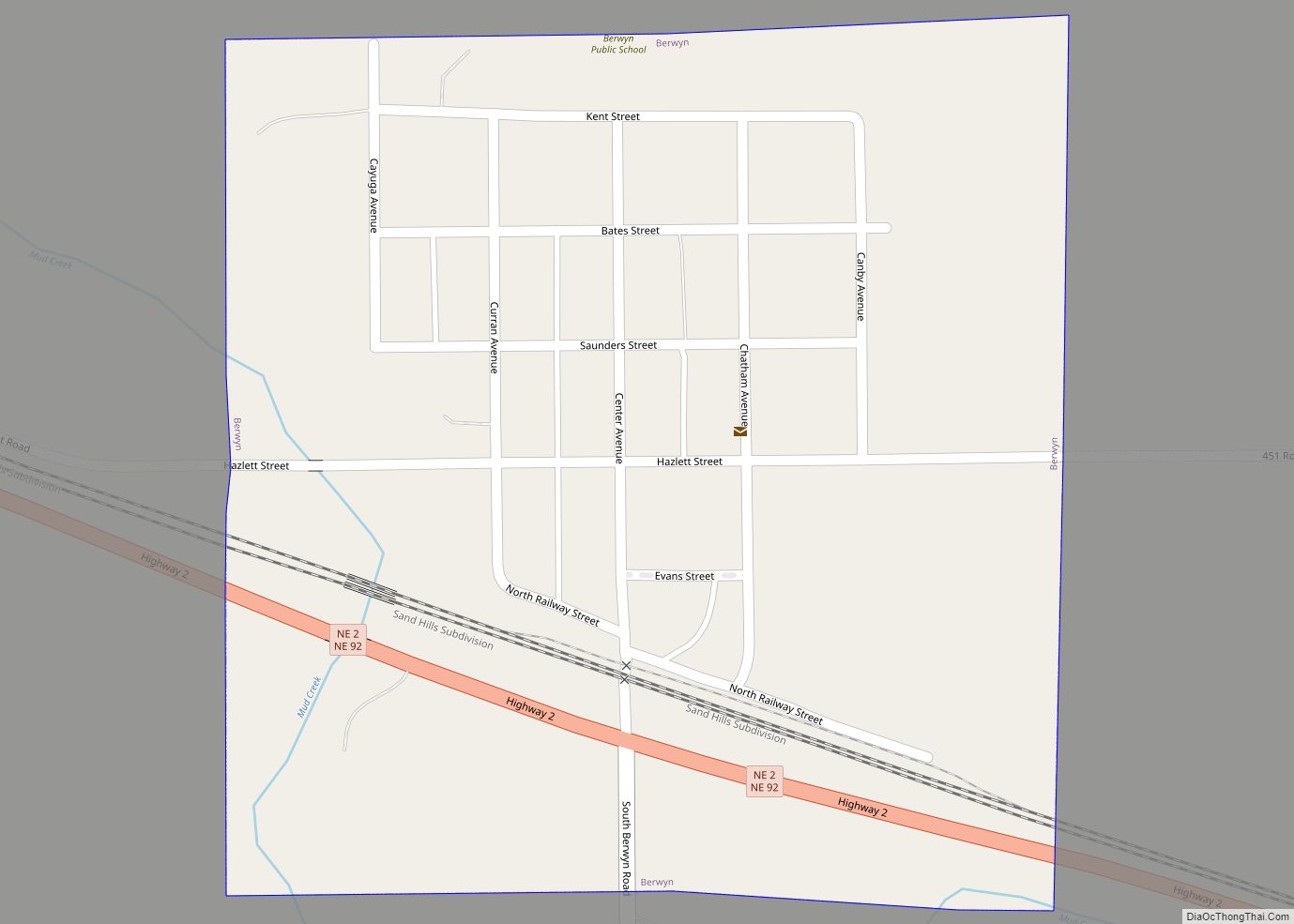
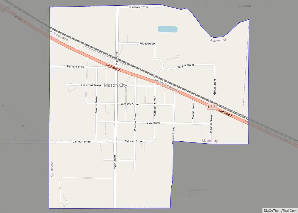
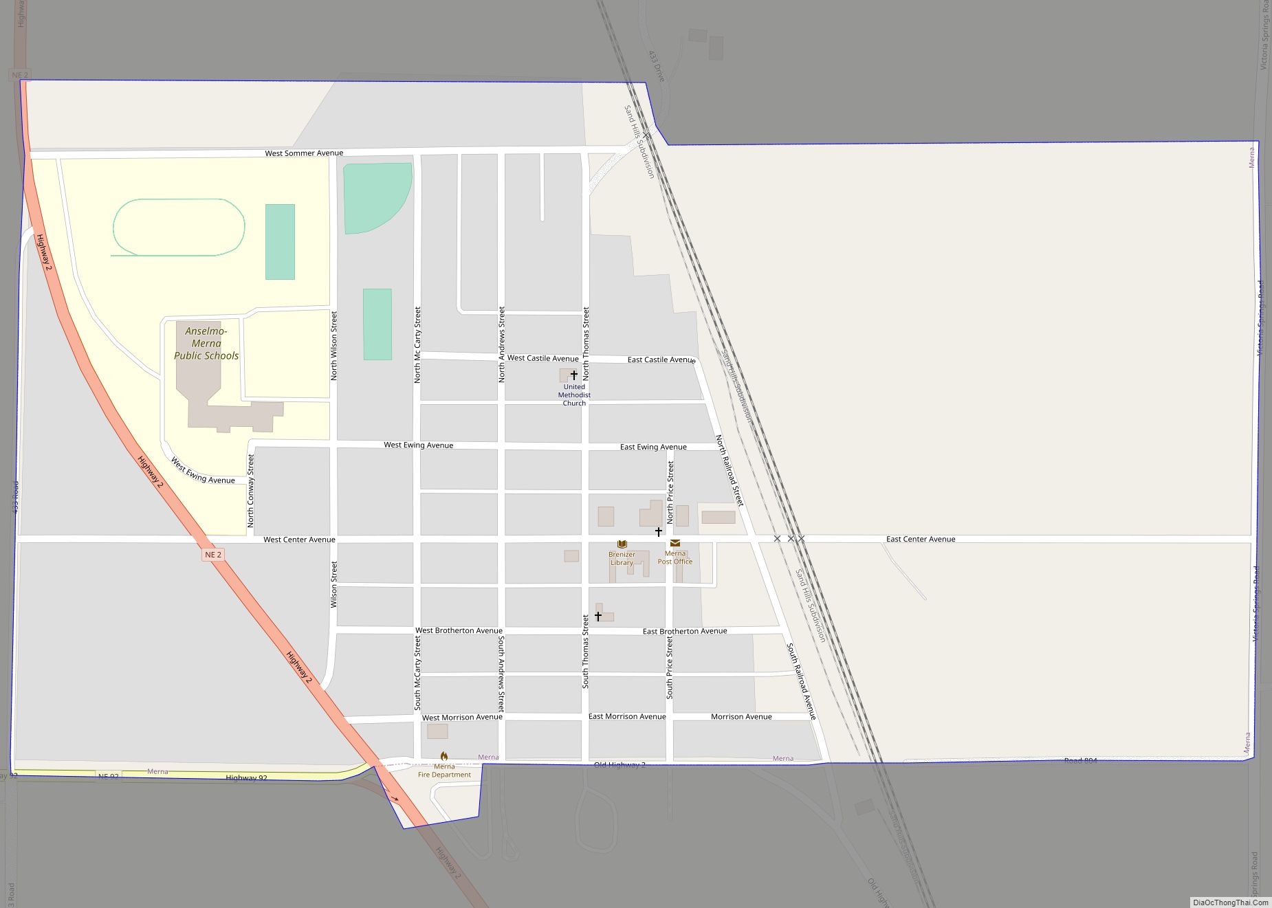
Online Interactive Map
Click on ![]() to view map in "full screen" mode.
to view map in "full screen" mode.
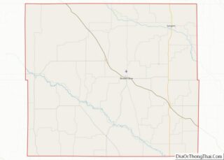
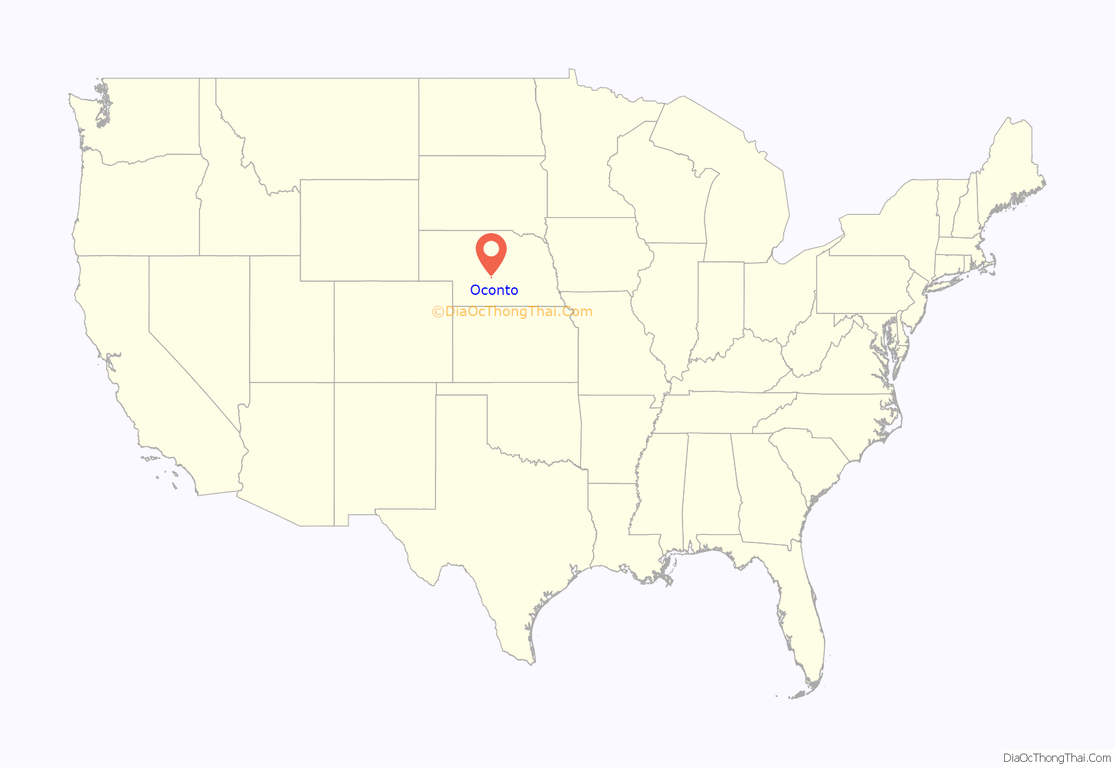
Oconto location map. Where is Oconto village?

History
The community was founded in 1887 as Olax, but the original name conflicted with another Nebraska location, so it was renamed to Oconto. The exact source of the name has been debated, some hold Oconto was the name of a pioneer settler, while others believe the town was named after Oconto, Wisconsin. Oconto was incorporated in 1906.
On October 31, 2000, a tornado hit Oconto. It destroyed the community center and several downtown businesses, and damaged 40 homes. A Halloween party was being held at the community center when advanced warning allowed them to seek shelter in the basement, all 19 children and 4 adults came out without a scratch. In 2003, a new community center was constructed using funds from federal, state, county, local sources.
On August 21, 2017, Oconto was a viewing location under the path of a total solar eclipse. Hundreds of people gathered in Oconto to view the eclipse, including tourists from other states.
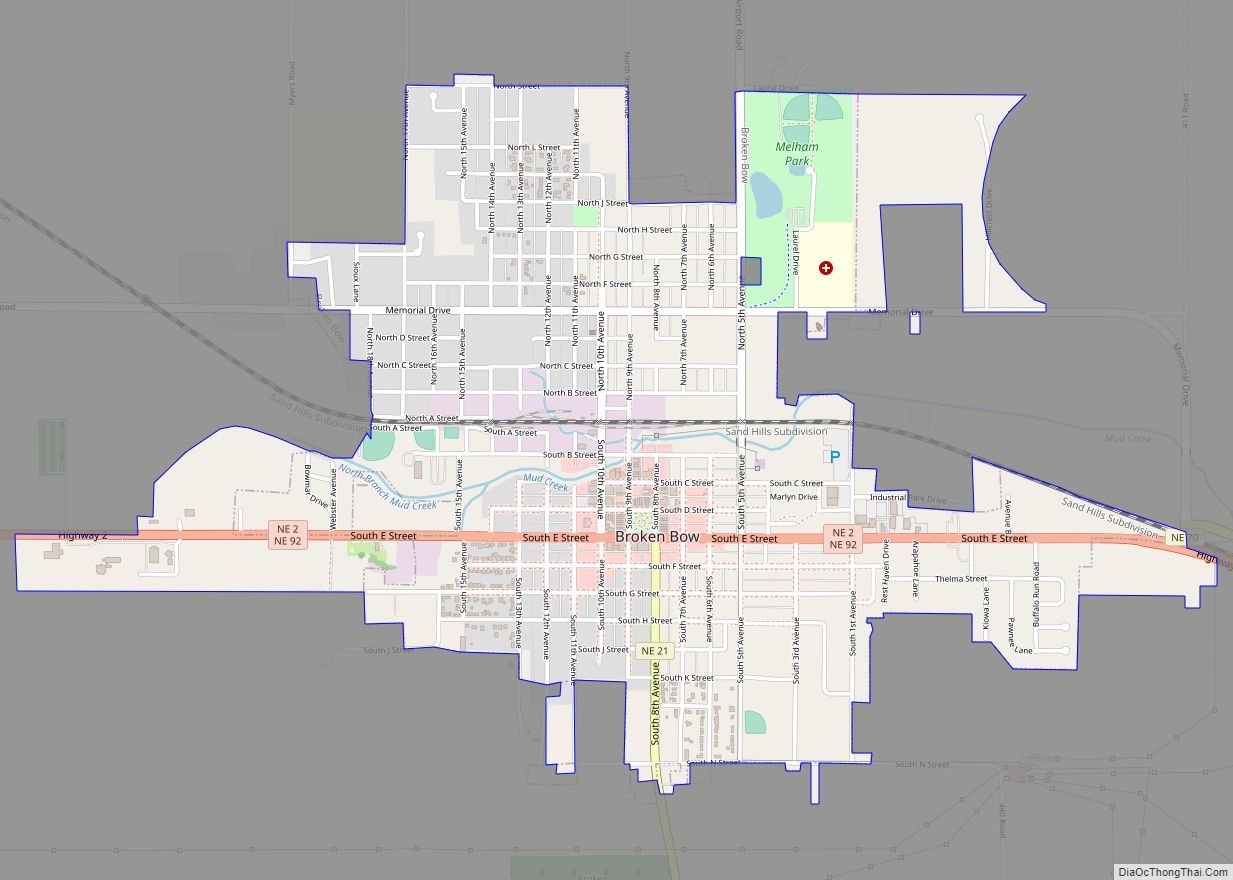
Oconto Road Map
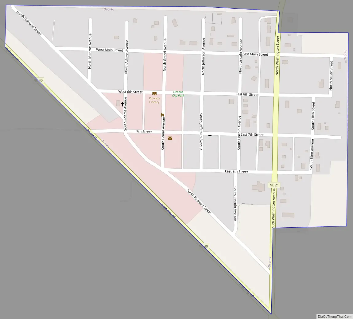
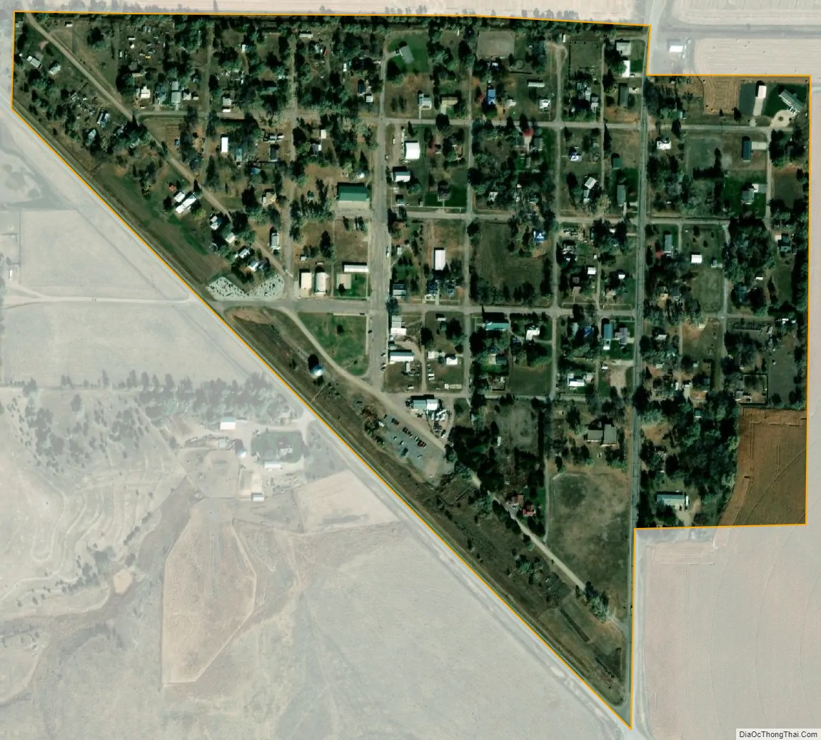
Oconto city Satellite Map
Geography
Oconto is located at 41°8′30″N 99°45′41″W / 41.14167°N 99.76139°W / 41.14167; -99.76139 (41.141560, -99.761457). According to the United States Census Bureau, the village has a total area of 0.20 square miles (0.52 km), all land.
Oconto is located at the junction of Nebraska state highways 21 and 40. It is south of the Pressey Wildlife Management area.
See also
Map of Nebraska State and its subdivision:- Adams
- Antelope
- Arthur
- Banner
- Blaine
- Boone
- Box Butte
- Boyd
- Brown
- Buffalo
- Burt
- Butler
- Cass
- Cedar
- Chase
- Cherry
- Cheyenne
- Clay
- Colfax
- Cuming
- Custer
- Dakota
- Dawes
- Dawson
- Deuel
- Dixon
- Dodge
- Douglas
- Dundy
- Fillmore
- Franklin
- Frontier
- Furnas
- Gage
- Garden
- Garfield
- Gosper
- Grant
- Greeley
- Hall
- Hamilton
- Harlan
- Hayes
- Hitchcock
- Holt
- Hooker
- Howard
- Jefferson
- Johnson
- Kearney
- Keith
- Keya Paha
- Kimball
- Knox
- Lancaster
- Lincoln
- Logan
- Loup
- Madison
- McPherson
- Merrick
- Morrill
- Nance
- Nemaha
- Nuckolls
- Otoe
- Pawnee
- Perkins
- Phelps
- Pierce
- Platte
- Polk
- Red Willow
- Richardson
- Rock
- Saline
- Sarpy
- Saunders
- Scotts Bluff
- Seward
- Sheridan
- Sherman
- Sioux
- Stanton
- Thayer
- Thomas
- Thurston
- Valley
- Washington
- Wayne
- Webster
- Wheeler
- York
- Alabama
- Alaska
- Arizona
- Arkansas
- California
- Colorado
- Connecticut
- Delaware
- District of Columbia
- Florida
- Georgia
- Hawaii
- Idaho
- Illinois
- Indiana
- Iowa
- Kansas
- Kentucky
- Louisiana
- Maine
- Maryland
- Massachusetts
- Michigan
- Minnesota
- Mississippi
- Missouri
- Montana
- Nebraska
- Nevada
- New Hampshire
- New Jersey
- New Mexico
- New York
- North Carolina
- North Dakota
- Ohio
- Oklahoma
- Oregon
- Pennsylvania
- Rhode Island
- South Carolina
- South Dakota
- Tennessee
- Texas
- Utah
- Vermont
- Virginia
- Washington
- West Virginia
- Wisconsin
- Wyoming